


|
|
Sequoia National Forest & Sierra National Forest maps courtesy of Greg Farris |
See USE NOTICE on Home Page Photo text (unless otherwise noted) is from Place Names of the Sierra Nevada by Peter Browning |
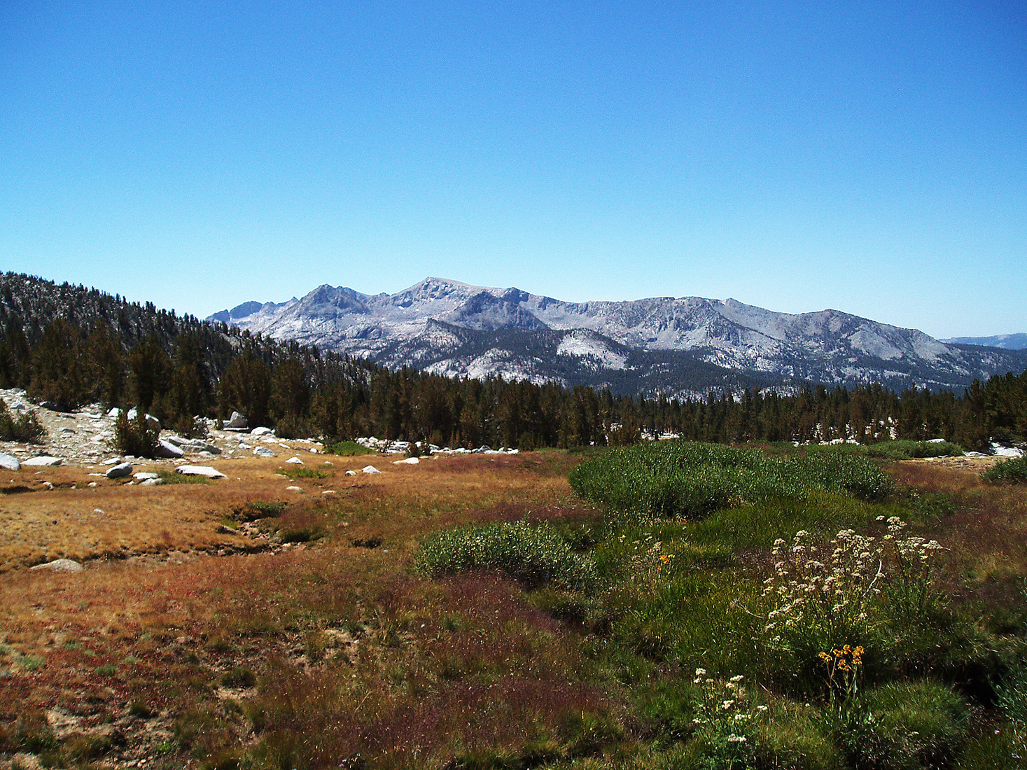
The Sierra Nevada and Owens Valley are full of fascinating names garnished over the centuries from Native Americans, trappers, explorers, surveyors, geologists, packers, fisherman, frontiersman, and settlers. These pages represent but a few of those names and their origin. These are some of my favorite gathered from my packing days with Mt. Whitney Pack Trains. These are names which, for me personally, evoke wonderful Sierra and Owens Valley memories - packers, camp fires, Sierra Club girls, nick names such as Veggie, Manure Man, and Peek-a-Boo, mules with personality, biting horses, Trail Riders of the Wilderness, countless trips to the summit of Mt. Whitney, pack train wrecks, bronc shoeing in the backcountry, rain at night in the Sierra, frozen tie lines, loves lost and loves gained, and a host of majestic wilderness scenes painted for all of us by the One Who seeks but to have our hearts focused on Him. |
 |
|
|
|
|
 |
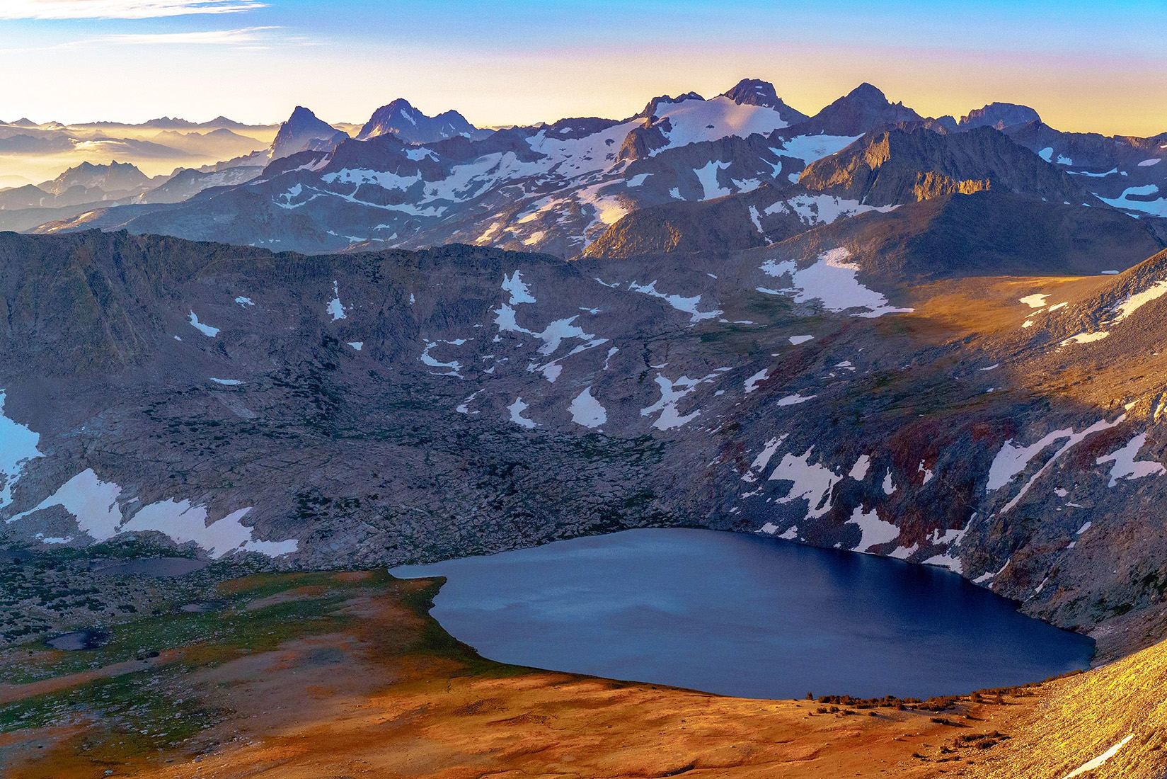
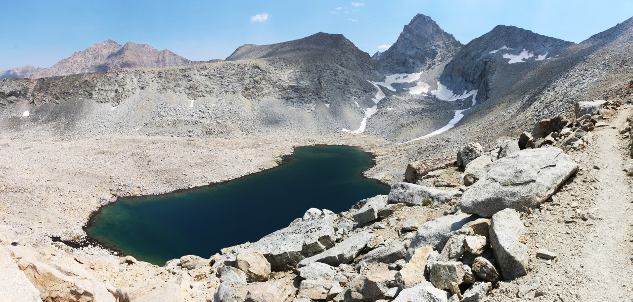
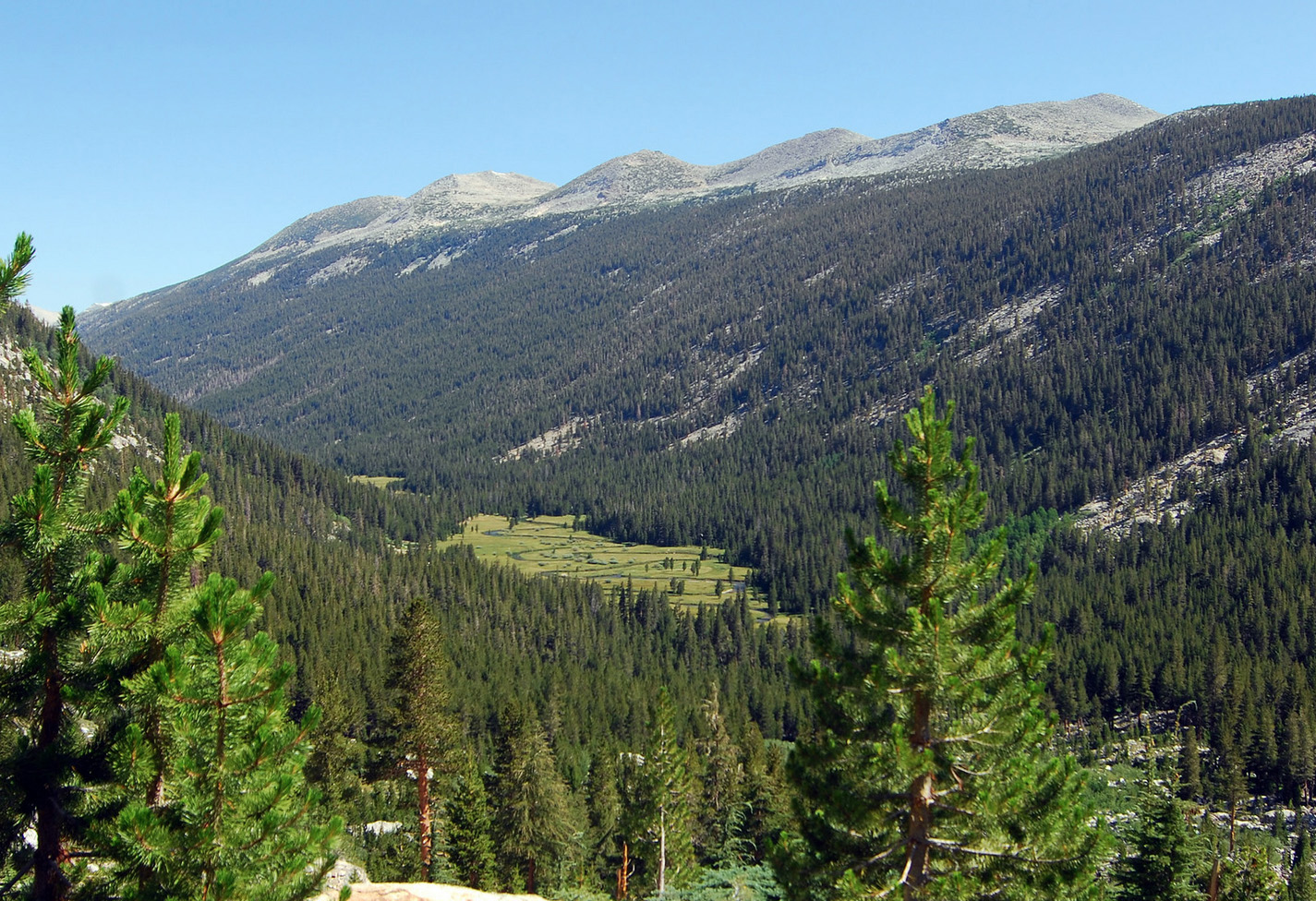
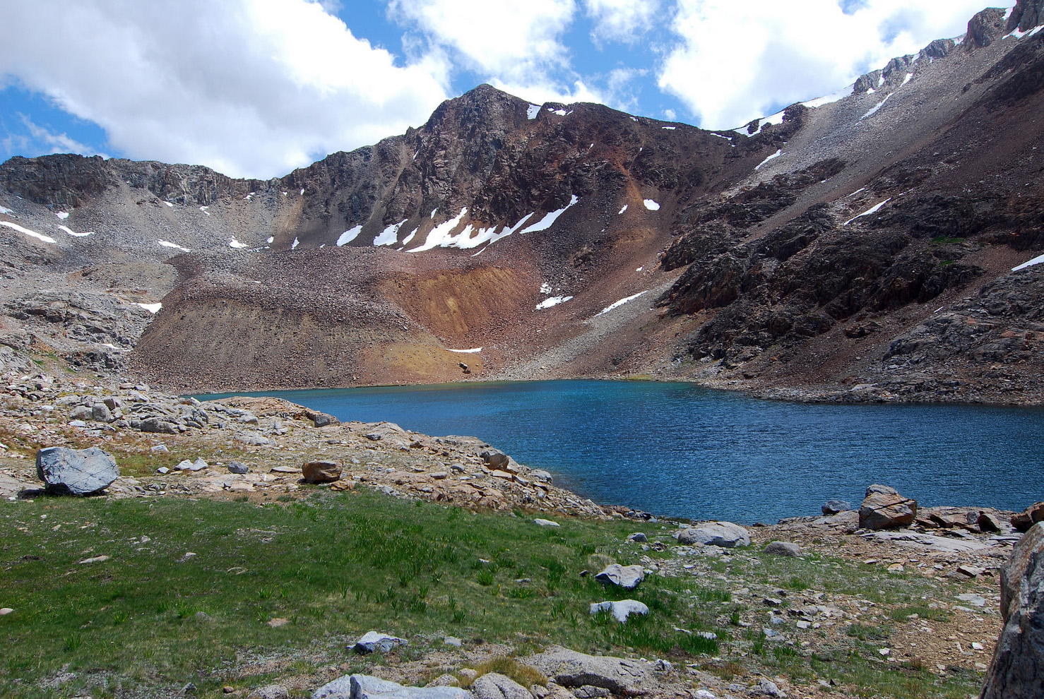
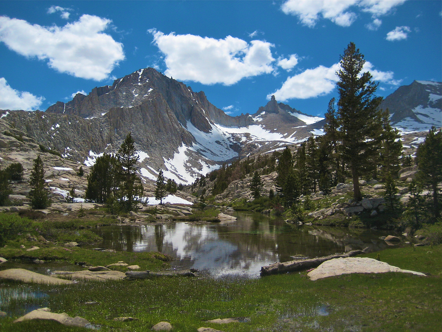
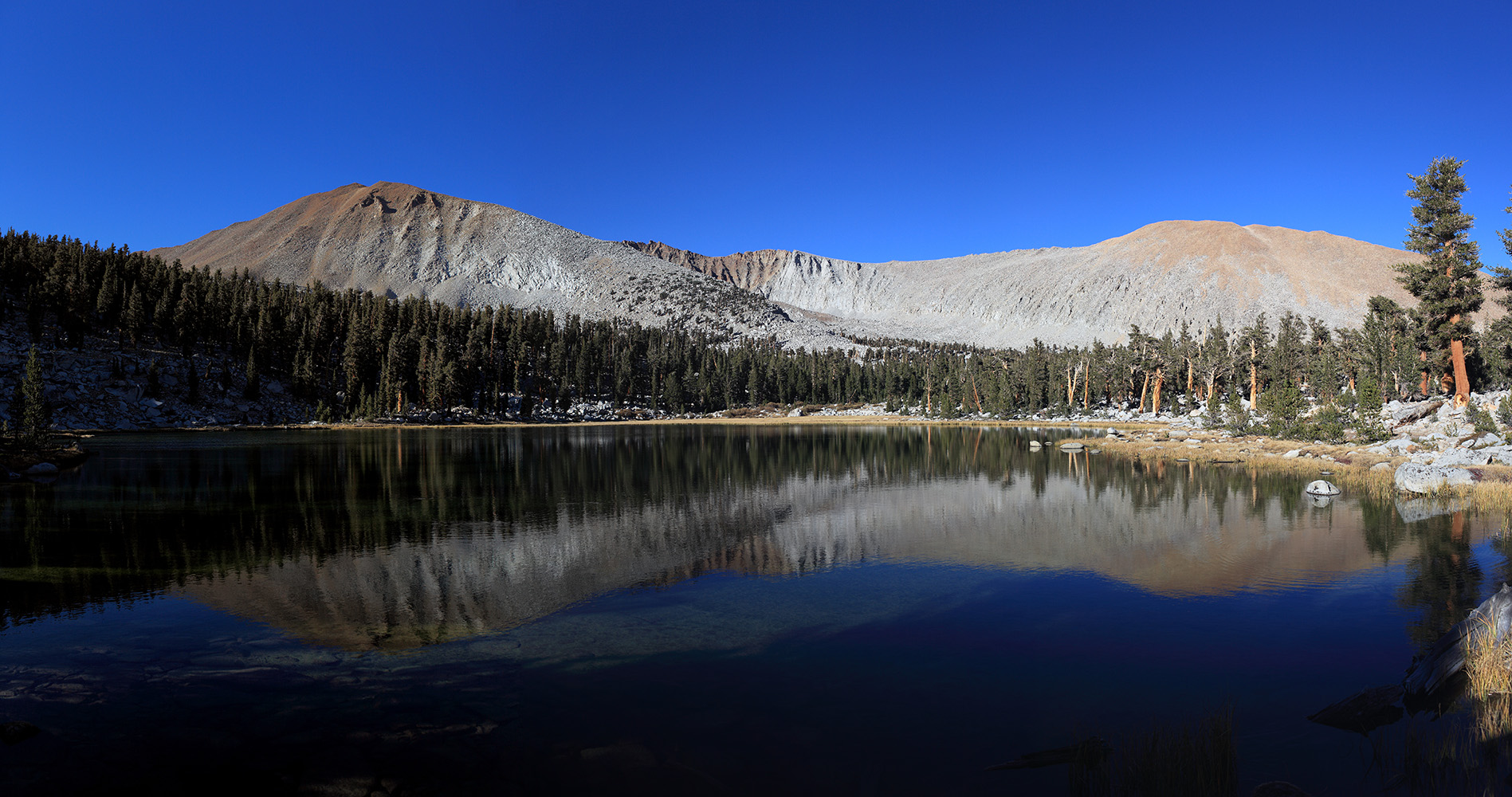
Originally named "Gem-o'-the-Mountains" by Theodore C. Agnew, an early miner. The USGS shortened the name, and also applied it to the pass, during the 1898-99 survey for the Mt. Lyell map. The lake has been dammed, and is a reservoir for Southern California Edison. [Inyo National Forest] |
 Gem Lake (fartherest lake), Agnew Lake, and Rush Creek with its many waterfalls (Photo courtesy of Ed Cisnalis] |
|
 |
SEE  |
 |
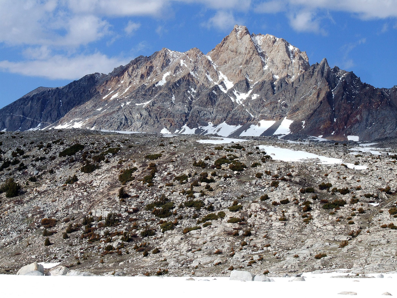
 Johann Wolfgang von Goethe (1749-1832), greatest of German poets. In 1949, the 200th anniversary of Goethe's birth, Erwin G. Guddle suggested the name for the hitherto unnamed highest peak of the Glacier Divide, and for the glacier on its north side. David Brower also suggested applying the name to the lake and the cirque. All the names were approved by the US Board on Geographic Names that same year. "Goethe Cirque" was ommitted from the Mt. Goddard map because of lack of space. [Sierra National Forest] |
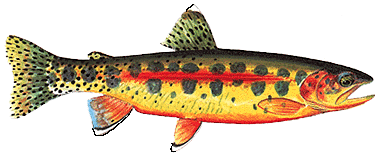
The
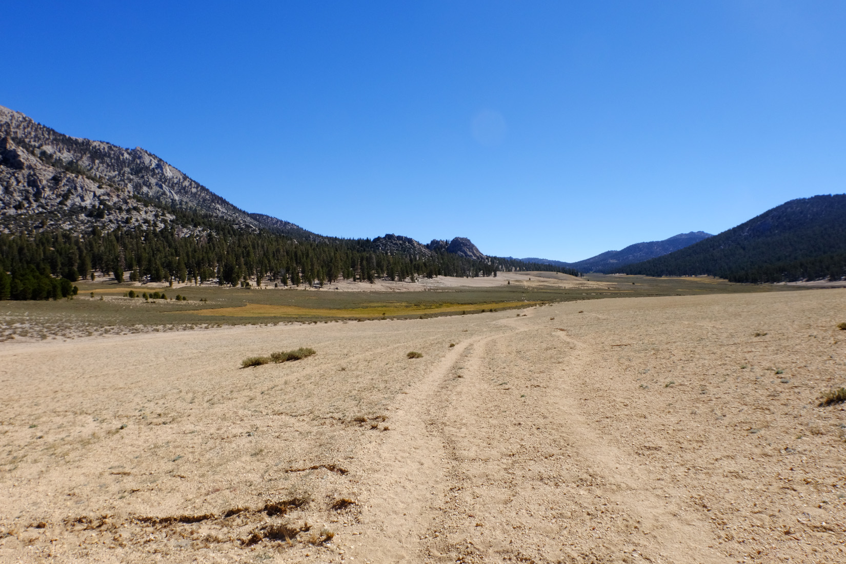
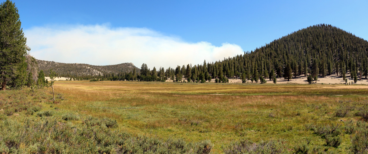
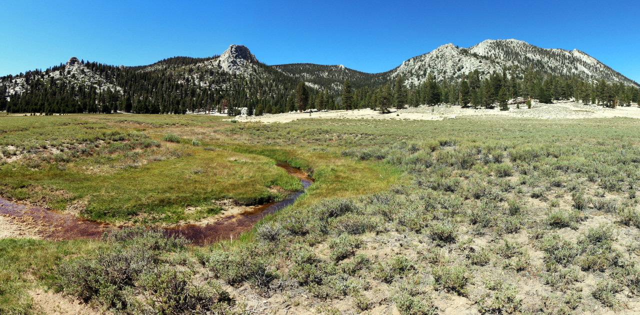
USGS named that creek that flows from Big Whitney Meadows south
through Groundhog Meadows and Little Whitney Meadows, Golden
Trout Creek in 1905. The creek is so named for the proliferation
of Golden Trout in the creek. The creek was
first called "Whitney Creek" because it source was
thought to be near Mt. Whitney (actually Mt. Langley) when Clarence
King climbed it (Mt. Langley) in 1871. [Joseph N. LeConte, A summer of Travel in the High Sierra] [Golden Trout images below courtesy troutesite.com] |
 |
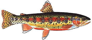 Gilbert Golden Trout |
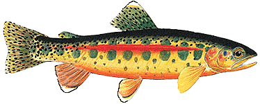 South Fork Kern Golden Trout |
 Little Kern Golden Trout |
 Volcano Creek Golden Trout |
 Golden Trout Creek - courtesy unknown |
|
 Golden Trout Creek - courtesy unknown |
|
 |
A letter from Col. Benson to Chester Versteeg states that the lake was named by the California Geological Survey about 1875. This is obviously incorrect, since the Survey was disbanded in 1873. "Grant Lake" is on the first edition of the Mt. Lyell map - 1901. [Inyo National Forest] |
 Grant Lake (Photo courtesy of Ed Cisnalis] |
|
[Inyo National Forest archives] |
|
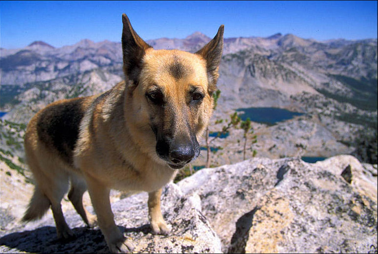 Heidi (Buck Forester's traveling companion) on the summit of Graveyard Peak [Photo courtesy of Buck Forester] |
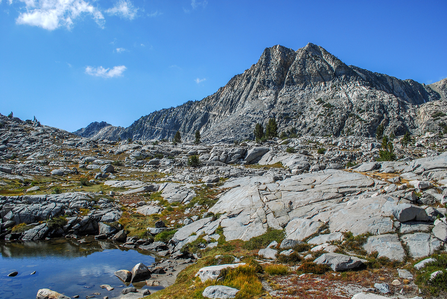 Graveyard Peak [Photo courtesy of Byron Hetrick] |
 Named in 1932 for its green-colored rocks [Inyo National Forest] |
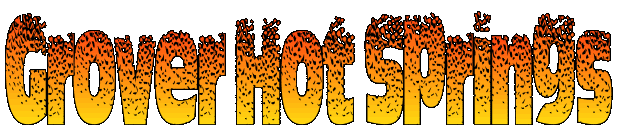 |
John Hawkins was an early owner of the hot springs. Alvin M. Grover bought a half interest in the property in 1878, and later acquired it all. [Alpine Heritage] |
 Guitar Lake is said to have been named for its shape by Clarence King in the 1870s. [Mt. Whitney Club Journal, May 1902] (Right: Guitar Lake with the Kaweah's in the background) |
 (Photo courtesy unknown) |
 |
Mount Guyot, Guyot Summit/Pass and Guyot
Flat were named by Captain J.W.A. Wright in 1881 in honor of
the Swiss geologist and geographer, Arnold Henri Guyot, whose
lectures for two years at Princeton, New Jersey, are among the
pleasantest recollections of his college days. Arnold was born
in Switzerland and came to America in 1848 where he taught physical
geography and geology at Princeton for nearly 30 years. [W.W. Elliott & Co. - A Gide to the grand and sublime scenery of the Sierra Nevada in the region about Mount Whitney - 1883] |
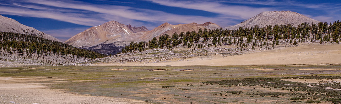 Background peaks, L/R: Mt. Kaweah, Red Spurt, Mt.Guyot - View looking west across the Siberian Outpost. (Photo courtesy of Ramsey Smara) |
|
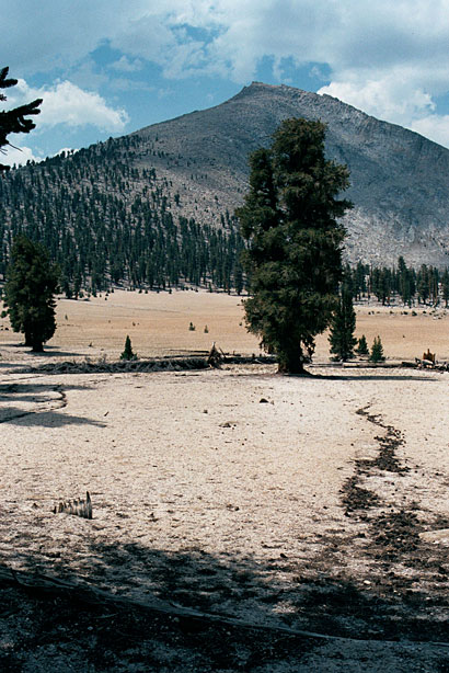 Mount Guyot and Guyot Flat. (Photo courtesy of Will Keightley) |
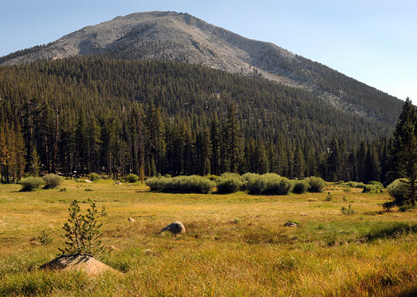 Mount Guyot from lower Rock Creek. (Photo courtesy of Sierra Descents) |
 |
Harrison
Pass, or Harrison's Pass as it was formerly called, is named
after Ben Harrison a local sheep-herder in the 1880s. Ben was
part Cherokee Indian and he built a monument on the pass. The
pass was probably used by sheep-herders in 1875 or 1876. Bolton
C. Brown of the Sierra Club (May 1897 Sierra Club Bulletin)
said the pass would never be popular until a windlas and cable
were put at the head of the pass. [Sequoia National Park; Sierra Club Bulletin - 1896] |
 |
|
||||||
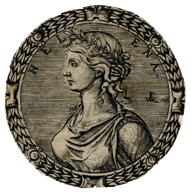
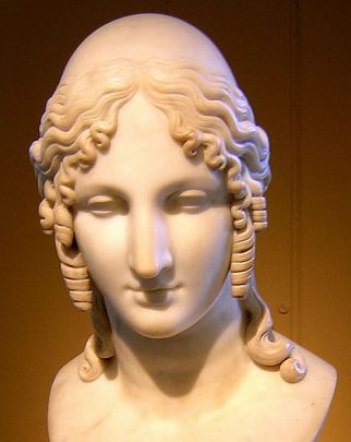
 Lake Helen of Troy (frozen - foreground) [Photo courtesy of Snow Nymph) |
 Lake Helen of Troy (frozen - foreground) [Photo courtesy of Snow Nymph) |
||||||
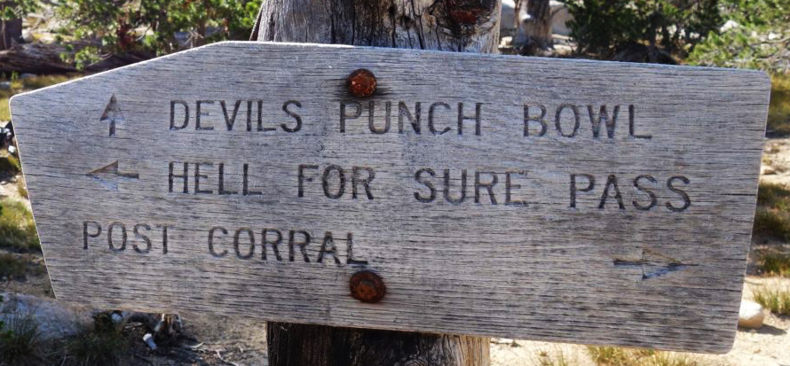
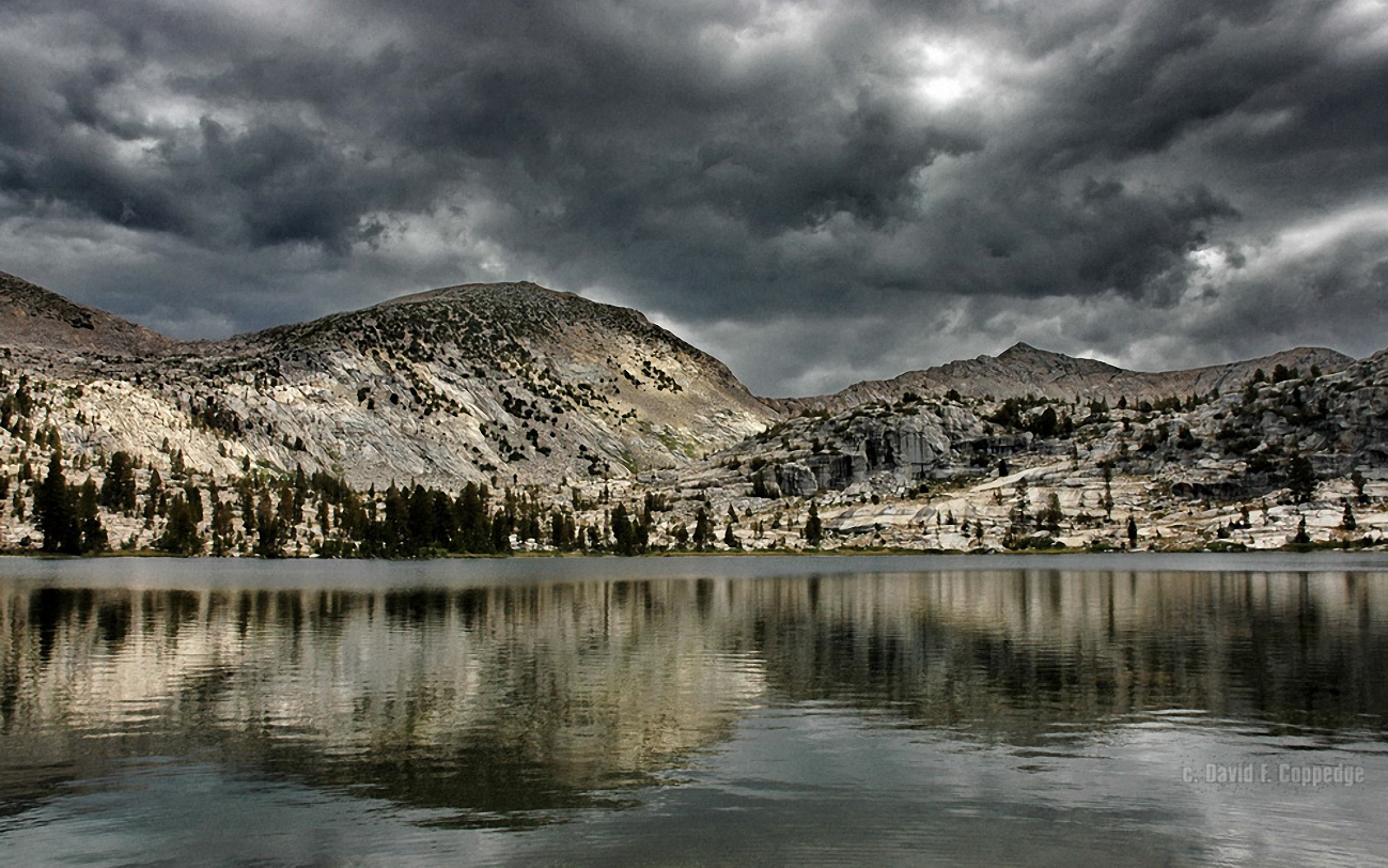
 Hell For Sure Pass and Lake were named by J. N. LeConte. He crossed the pass in 1904 on what had been called the "Baird" trail. The lake was first named on the Mt. Goddard map in 1953. [Sierra Club Bulletin - 1905] |
|
 |
|
William Helm, born in Ontario, Canada, in 1837, came to California in 1859 and "settled near Big Dry Creek, about seven miles northeast of the site of the present town of Fresno." Helm and Frank Dusy were partners in sheep-raising in the lat 1860s and early '70s. [Sierra National Forest] |
 |
 Robert M. Hester was the co-pilot of a B-24 bomber that was lost in a Sierra snowstorm in December 1943. His father, Clinton Hester of Los Angeles, unsuccessfully searched for the plane in the Kings Canyon area for fourteen summers. He died in 1959. In July 1960 the wreckage of the plane was found in the lake by an NPS ranger and two USGS geologists. The lake is named in commemoration of father and son, [U.S. Board on Geographic Names] |
 |
On September 7, 1881, the Rev. F.H. Wales of Tulare climbed Mount Young, where he built a monument and left a record of its name, "and the name of another handsome peaks just south of it, which, from his sugestion, was named Mount Hitchcock, for Professor Charles Hitchcock, of Dartmouth, where Mr. Wales spent his college days." Charles Henry Hitchcock (1836-1919), professor of geology at Dartmouth, 1868-1908, conducted the first high mountain observatory in the US, on Mount Washington, NH. Hitchcock Lakes were originally (1907) called "Twin Lakes" and changed to Hitchcock Lakes in 1933." [W.W. Elliott & Co. - A Gide to the grand and sublime scenery of the Sierra Nevada in the region about Mount Whitney - 1883] |
John Benamin Hockett (1828-1898), born in Arkansas, pioneered in Tulare County in 1849. He is noted for building (1862-64) the "Hockett Trail," from the South Fork of the Kaweah River across the mountains to Lone Pine. Hockett Meadows was amed in 1869 by Ira Blossom. (More Hockett Trail information) [Sequoia National Park files ] |
 |
 |
Major William Burchell Hooper *1836-1903), a native of Virginia; at one time owned the Occidental Hotel in San Francisco. The mountain and the creek were named by R.B Marshall, USGS, probably during the 1907-09 survey for the Mt. Goddard map [Heyward Moore - Fresno, Past and Present - 1984] |
 Mount Hooper [Photo courtesy of Tom Hilton) |
|
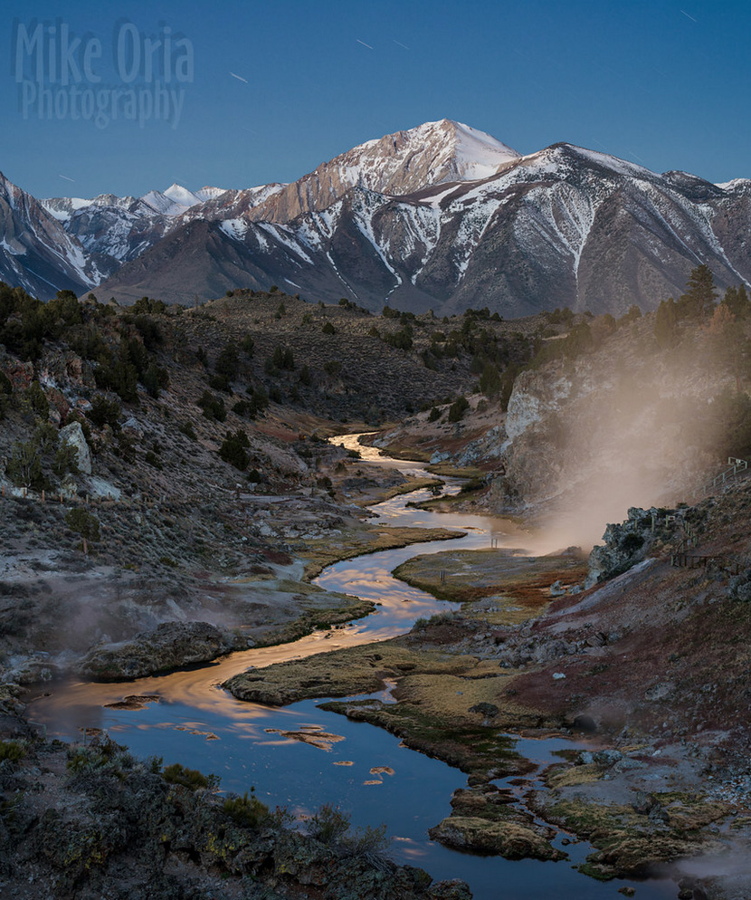
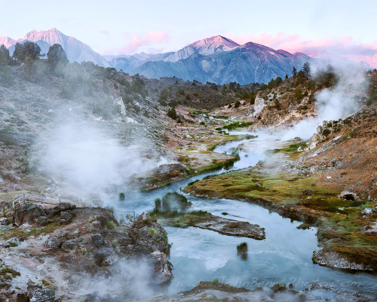
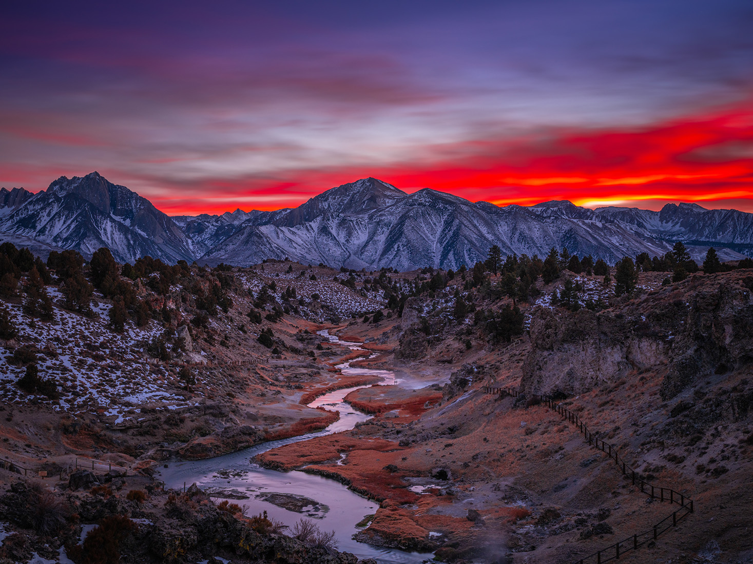
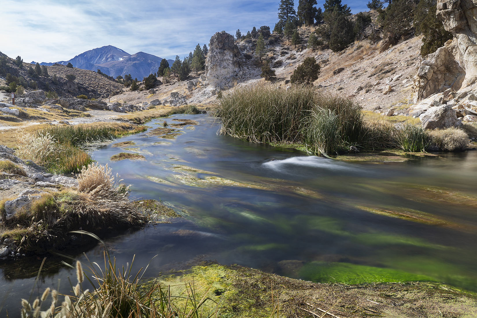
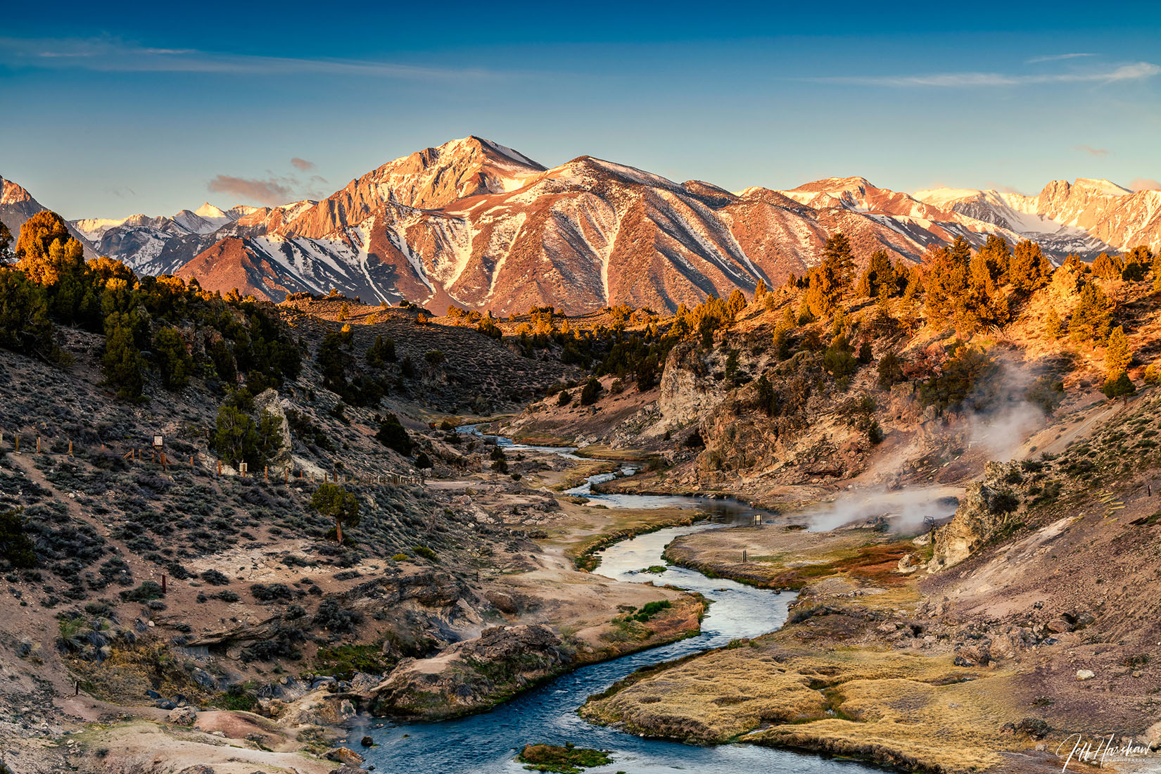
 Mammoth Creek, which flows through the town of Mammoth Lakes, changes its name to Hot Creek in Hot Creek Gorge where it intersects a series of faults that provide pathways to the surface for heated (geothermal) water flowing in an aquifer several hundred feet beneath the surface. [USGS] |
|
 Mount Humphreys [Photo courtesy of Ed Cisnalis] |
 Humphreys Basin, Humphreys Lakes, and Mount Humphreys were named for Andrew Atkinson Humphreys (1810-1883), soldier and engineer, the grandson of Joshua Humphreys, who designed the "Constitution" and other frigates of the War of 1812. Humphreys distinguished himself in the Civil War. After the war he was chief engineer of the U.S. Army until he retired in 1879. "The summit of Mount Humphreys is not more than eight feet square.... It is one mass of cracked and broken blocks, thrown loosely together in such a way as to warn one to move cautiously lest the whole top should break off and fall into the great abyss to the eastward.... Probably no one had ever stood where we then were, unless perhaps during the early Jurassic period, before the mountain was fully sculptured. [Sierra Club Bulletin - January 1905]. |
 Humphreys Basin [Photo courtesy of Chad Thomas] |
 |
N.B. Hunewill built two sawmills on Buckeye Creek in the 1860s. He was one of the earliest settlers in the Bridgeport region; he homesteaded 160 acres in sections 13 and 14 T 4 N., R. 24 E in 1876. The "Hunewill Ranch" is now the Circle H. Guest Ranch. The name of the peak was misspelled "Hennerville" on all the editions of the Bridgeport map from 1911 through 1951, The mistake apparently was due to a General Land Office surveryor in 1877. [Government Land Office] |
  |
SEE |
 |
 |
The lake is fed by a small glacier and a permanent snowfield, and often has ice floating in it until late summer. It probably was named by Ansel F. Hall and Al Solinski during an exploring expedition in 1922. [Yosemite National Park files] |
 Iceberg Lake [Photo courtesy of Ed Cisnalis) |
|
 Named in 1964 for Harold L. Ickes, Secretary of the Interior from 1933 to 1946. "In naming this rugged mountain in his memory, we recall that it was his iron will which successfuly prevailed in the struggle to save Kings Canyon from the plunderers of the land. He, more than any other person, was instrumental in saving this magnificent park area for posterity." [Secretary of the Interior - Stewart L. Udall - 1964] |

 Tululowehuck, The canon of the South Fork of the Merced, called the Illilouette in the California geological report. The canon is called by Professor J.D. Whitney the "Illilouette," a supposed Indian name but I have never questioned a single Indian that knew anything whatever of such a word while every one, wthout exception, knows the canon either by Too-lool-a-we-ack or Too-lool-we-ack; the meaning of which as nearly as their ideas can be comprehended and interpreted is the place beyond which was the great rendezvous of the Yo Semite Indians for hunting deer. (Hutchings, In the Heart) [Josiah Dwight Whitney - The Yosemite Guide-Book - 1870] |
The name was proposed by Lewis Clark of the Sierra Club, who thought it fitting because of the basin's proximity to Scylla and Charybdis. [Letter from David Brower to C.A. Ecklund, USGS - 1951] |
 |
Named by Lt. Harry C. Benson for Dr. Merritte Weber Ireland of the US Army Medical Corps. who was on duty in Yosemite National Park in 1897. Ireland was later surgeon general of the army for 13 years. [Yosemite National Park] |
 |
 Ireland Lake [Photo courtesy of Ed Cisnalis) |
 Ireland Lake [Photo courtesy of Ed Cisnalis) |
 Lt. N.F. McClure named the pass in 1895 for the native Norwegian in his command who discovered it while they were exploring for a route from the Merced River to the Minarets region. The peak and lakes were later named from the pass. [Yosemite National Park] |
|
 |
|
Jack
Main Canyon was named after an old sheep-herder who ranged sheep
in the region. The herder's name was actually Jack Means. C.H.
Burt said that the name of the canyon as it appears on maps today
is incorrect. All of the early sheep and cattle men in the region
called the canyon "Jack Means Canyon" and the present
name is a corruption of that name. [Sierra Club Bulletin - 1925] |
|
 |
The butte/rock overshodowing the meadow bears the mellifuous title of "Jackass Dome." This dome is perhaps over 10,000 feet high lends its majestic name to the extensive meadow by the same name. Through the meadow meanders a wide and quiet stream . . . and to this stream the same aristocratic title has been assigned. [J.W.A. Wright - San Francisco Post, 1869] |
 Jackass Meadow & Jackass Dome [Photo courtesy of Eli Gross] |
 |
 |
 In the early 1850's Moses Job opened a store in Sheridan at the foot of the mountain which soon became know by his name. The State Surveyor Genera's Report of 1856 speaks of Job's Group of Mountains, and Hoffmann's map of 1873 calls the peaks of the range collectivley Job's Peaks. In 1893 the Geological Survey applied the name Jobs Sister to the middle peak and Freel Peak to the western peak. [Erwin G. Gudde - California Place Names] |
|
 Panorama looking to the east of Freel Peak to Jobs Sister and Jobs Peak Trail leading from the saddle between Freel Peak and Jobs Sister [Text and photo courtesy of Bob Potts] |
|
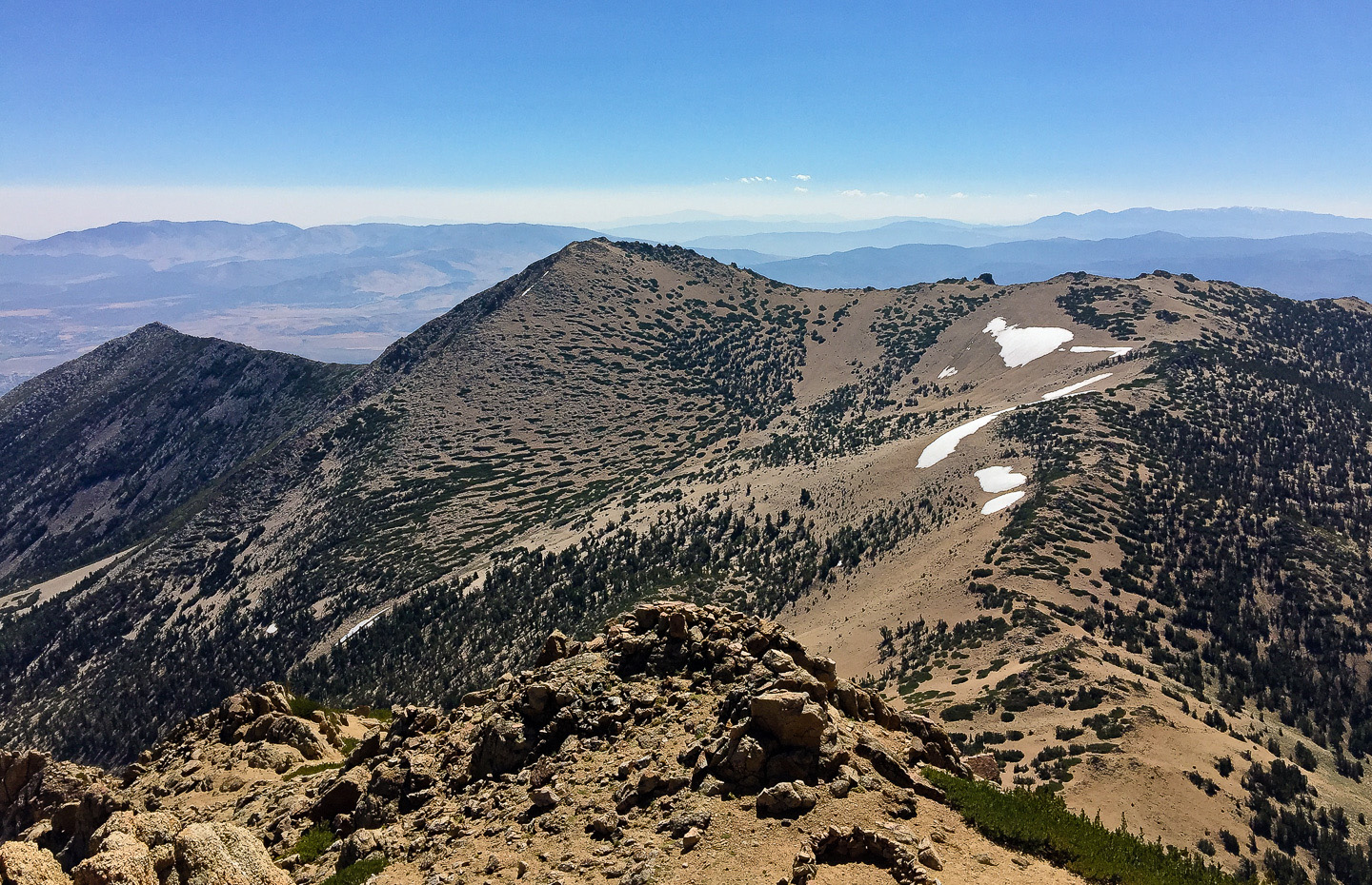
Joe Devel was a member of the Wheeler Survey party that made the first ascent of the peak, on September 20, 1875. The name was given by Owen L. Williams of the Sierra Club on July 7, 1937, when he found the records of the Wheeler party, and the later climbers, on the summit. [Sierra Club Bulletin - 1938] |
 |
 |
|
The idea of a crest-parallel
trail through the High Sierra came to me one day while herding
my uncle's cattle in an immense unfenced alfalfa field near Fresno.
It was in 1884 and I was fourteen." (Theodore S. Solomons
- Sierra Club Bulletin, April 1938). "Sleeping that night
[in 1895] at the base of Mt. Huxley, warmed by our fire of gnarled
juniper, I dreamed of my task fully done. A well-marked trail
led from the distant Yosemite past the long lake, up the snow-basin,
and over the divide to the King's River. I hope my dream was
prophetic. The way, at all events, is clear. Only the trail waits
to be built." (Solomons) The "long lake" and the
"divide" were Wanda Lake and Muir Pass, which were
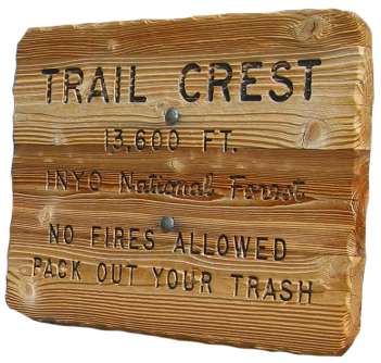
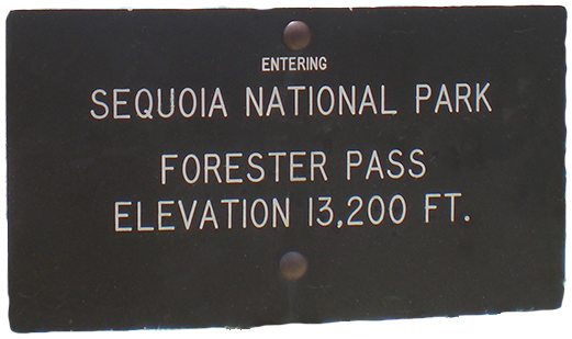
not named until about 1907. Solomons did the earliest explorations for what later became the John Muir Trail. J.N. LeConte continued the search for the best route. In 1915 the California legislature, in response to a Sierra Club proposal, made an initial appropriation of $10,000 for construction of the trail, which was to be named for John Muir, who had died in December 1914. The John Muir Trail as it exists today was completed when the sections were built over Forester Pass in 1931 and Mather Pass in 1938. |
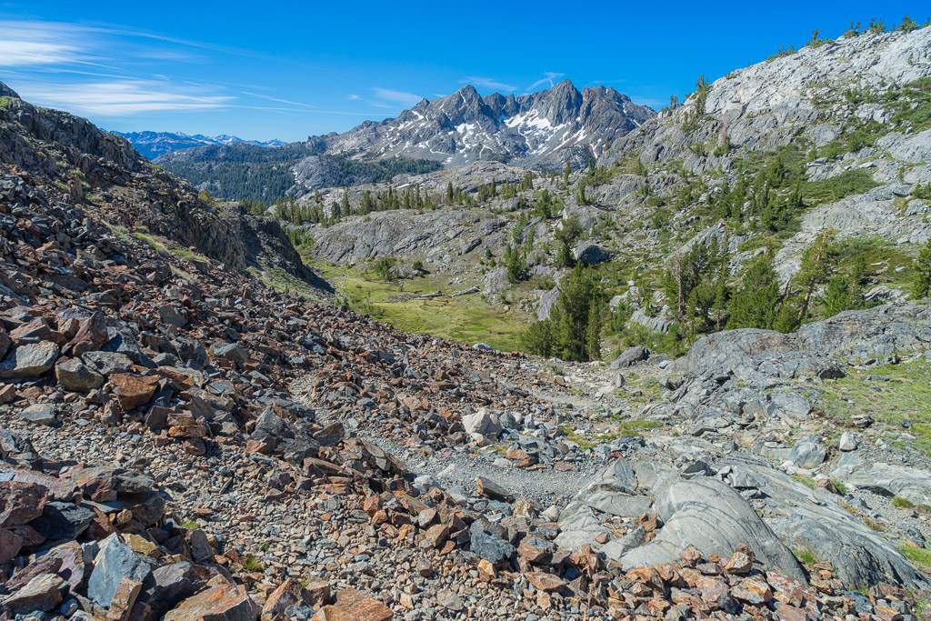
John Muir Trail photos courtesy of John Pelltier (Visit John's website and see his mile by mile photo journal of the entire John Muir Trail) |
|
 Lyell Canyon |
 South of Island Pass |
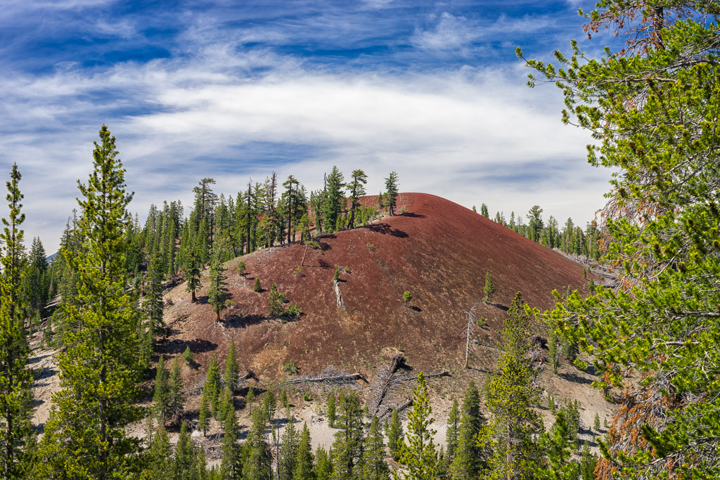 Red Cinder Cone near Reds Meadow |
 Heading south from Duck Pass |
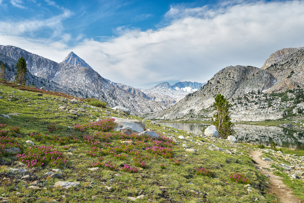 Evolution Lake |
 Le Conte Canyon |
 The Golden Staircase |
 Upper Basin |
 Fin Dome |
 The Bighorn Plateau |
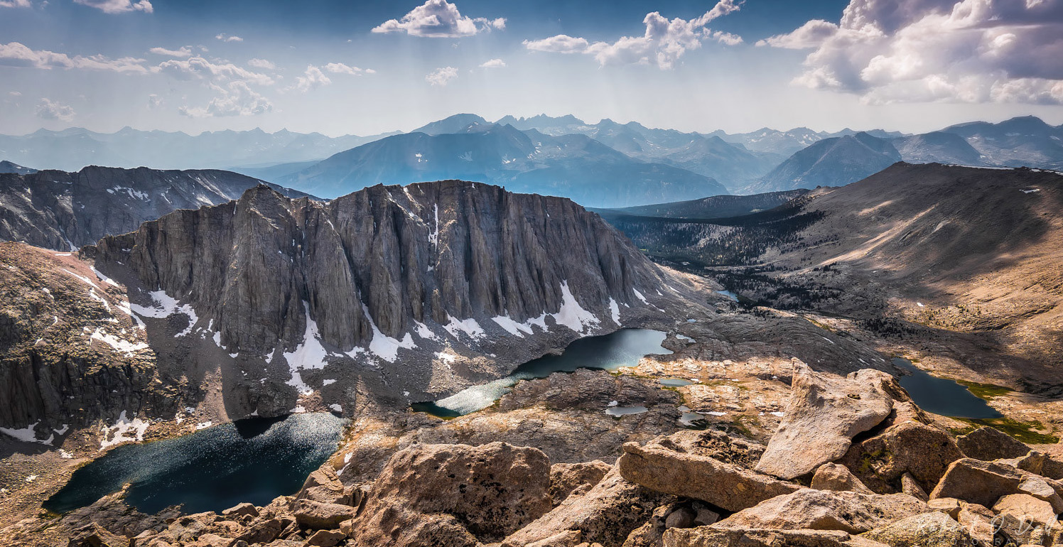
 Hitchcock Lakes (L) and Guitar Lake (R) |
 Smthosonean High Altitude Observatory on the summit of Mt. Whitney |
|
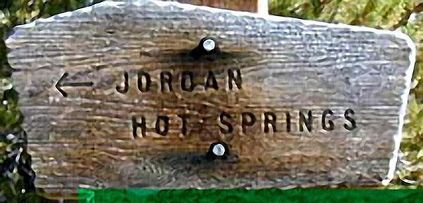
This historic trail is a segment of one of the pioneer routes across the central Sierra. John Jordan was rancher down in the Yokohl Valley when gold was discovered in the Kern Canyon and out in the desert near Aurora and Bodie. He laid out the route and secured a permit to build a toll road across the mountains to the mining camps. He and his sons built this trail which went all the way across to Lone Pine, past Jordan Hot Springs (named in his honor). Tragedy struck at the Kern River crossing, where he drowned. His toll road was never completed. 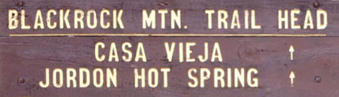
|
For more on Jordan Hot Springs and the John Jordan Trail visit my Jordan Hot Springs webpage. |
|
|
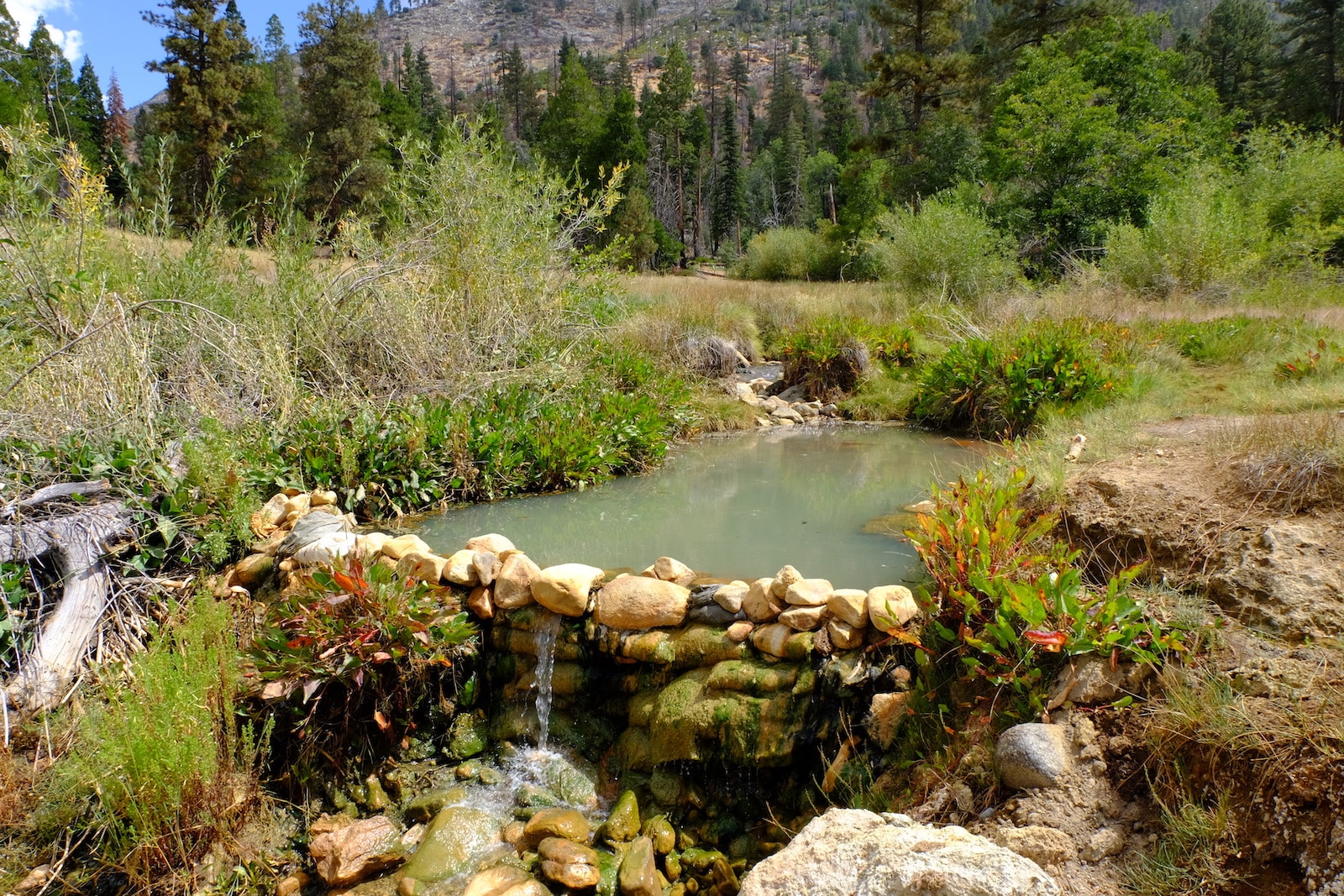 Mineral Bath at Jordan Hot Springs [Photo courtesy of William Reavis] |
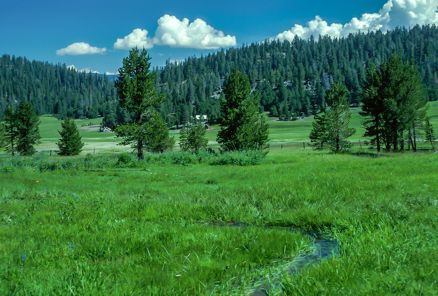 Casa Vieja Meadow on the trail to Jordan Hot Springs [Photo courtesy of Donald Guidebus] |
|
 Alfred H. and Myrtle Prater, who in 1928 made the first ascent, chose the name becase of the peak's proximity to Lake Italy. [Inyo National Forest] |
 |
 Embraces the junctions of the Kern River with the Kern-Kaweah River and with Wallace Cree named in 1881 by W. B Wallace. [Farquhar: G.W. Stewart] |
 The peak was named by J.N. LeConte in 1896. It is at the junction of the Kings-Kern Divide with the main Sierra crest. Junction Pass takes its name from the peak; it was opened in 1915 by construction of the John Muir Trail. [FarquharLeConte] |
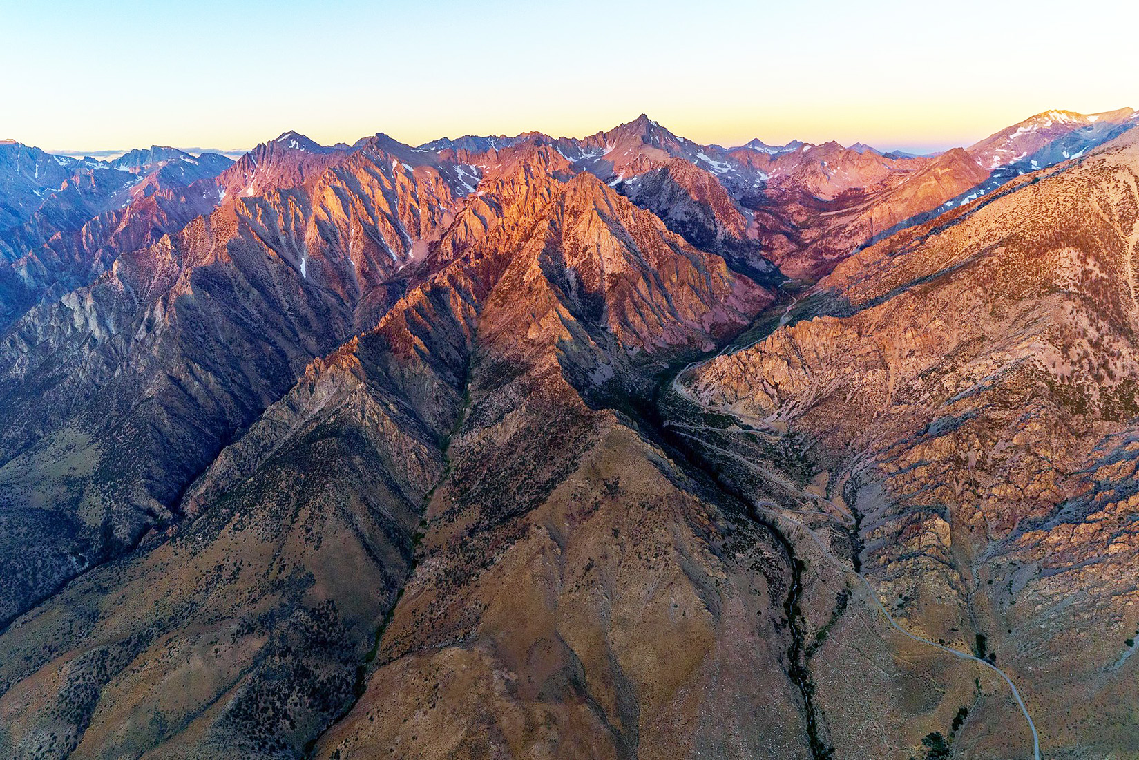
 Junction Peak (center backgrount) and Mount Keith (R) [photo courtesy of Ed Cisnalis] |
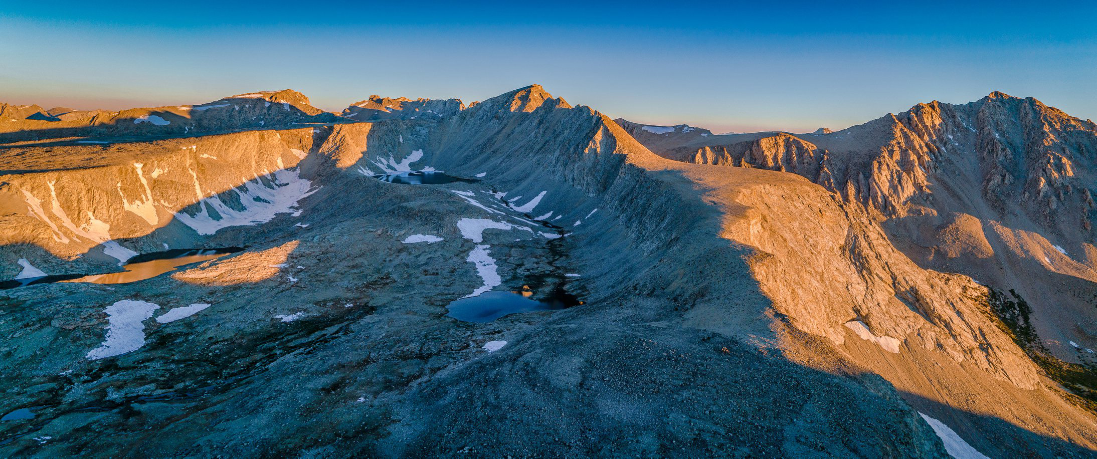
 Thomas Keough wrote that he and his party built the trail up the east side of Kearsarge Pass in the summer of 1864. "We called the pass 'Little Pine Pass,' after Little Pine Creek, which heads near the pass."The rest of our party, who left us soon after we climbed up over Little Pine Pass, found a gold mine near the pass on their way home which the called the 'Cliff Mine.' ... it was through this discovery that the pass came to be known as 'Kearsarge Pass,' ... Our crowd ... were all Union men, and when the news came that the Kearsarge had sunk the Alabama, our boys named the district where the Cliff Mine was the 'Kearsarge District' to taunt the Rebels. The little town which grew up at the mine was called 'Kearsarge City,' and the pass came to be called the 'Kearsarge Pass,' and the mountain just to the north of the pass 'Kearsarge Mountain.'" "Kearsarge City" was created in 1865 and destroyed by an avalanche in the spring of 1866. [Sierra Club Bulletin - 1918] |
 Kearsarge Pass - the canyon on the right [photo courtesy of Ed Cisnalis] |
William Keith (1838-1911), charter member of the Sierra Club, noted California landscape painter. The peak was named by the LeConte party from the summit of University Peak, July 12, 1896. [Sierra Club Bulletin - 1897] |
 |
 Lake Italy [photo courtesy of Wikipedia] |
 Lake Italy was named by the USGS during the 1907-09 survey for the Mt. Goddard map, because of a vague resemblance to the shape of italy, which became apparent when it was drawn on the map. [Farquar: Marshall] |
 The Lake of the Fallen Moon was named by Frank Ernest Hill in 1921 in one of his romantic poems. [Sierra Club Bulletin 1923] |
|
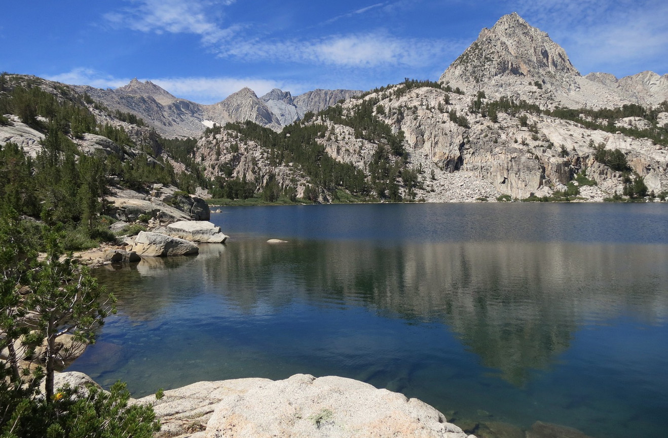
The Lake of the Lone Indian was named
by J. S. and Lincoln Hutchinson and party in 1902. "The
name was suggested to us by the very distinct profile of an Indian's
face and feathery head-gear in the mountain south of the lake. [Sierra Club Bulletin, 1903] |
 |
 Lake of the Lone Indian [Photo courtesy of Dale Matson] |
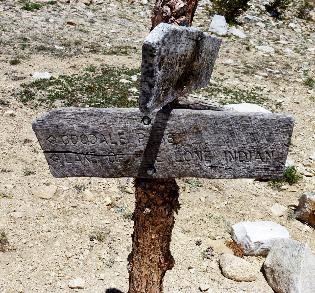 Lake of the Lone Indian trail sign. [Photo courtesy of Dale Matson] |
 Jean Baptiste Pierre Antoine de Monet de Lamarck (1744-1829), a French pre-Darwinian evolutionist who espoused the theory that characteristics developed by use or habit or environmental change may be inherited. The peak was named to agree with the six peaks of the "Evolution Group" named by Theodores S. Solomons in 1895. The name was almost certainly applied by the USGS during the 1907-09 survey for the Mt. Goddard map. |
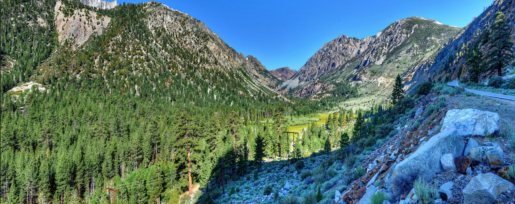
Leroy Vining and a few chosen companions, with one of Moore's scouts as guide, went over the Sierra to the place where the gold had been found in 1852, and established themselves on what has since been know as Vining's Gulch or Creek. In the early 1860s Vining built a sawmill on the creek now named for him, and sold lumber in Aurora, NV. Sometime later, Vining came to a peculiar end. "At that time the crowd of miners and gamblers used to congregate at the Exchange Saloon in Aurora, where frequent shooting-scrapes would occur. Whenever trouble started everyone would get out of the room. On one of these occasions a gun went off in the crowd and Lee Vining went out the door ... and started up the street toward the Odd Fellows Hall. Shortly after someone found him lying on the walk dead, an upon examination it was found that the pistol had gone off in his pocket, shooting him in the groin, from which he had bled to death. [Sierra Club Bulletin 1928] |
 |
 |
Named for Washington Bartlett Lewis (1884-1930) first civilian superintendent of Yosemite National Park 1916-28.It was under his administration that the major development of roads and trails, the consturcition of buildings for headquarters and personnel, and the installation of public-utiity systems was accomplished—the foundation for, and often the actual structures and systems, that exist today.. [John W. Bingaman - Guardians of the Yosemite - 1961] |
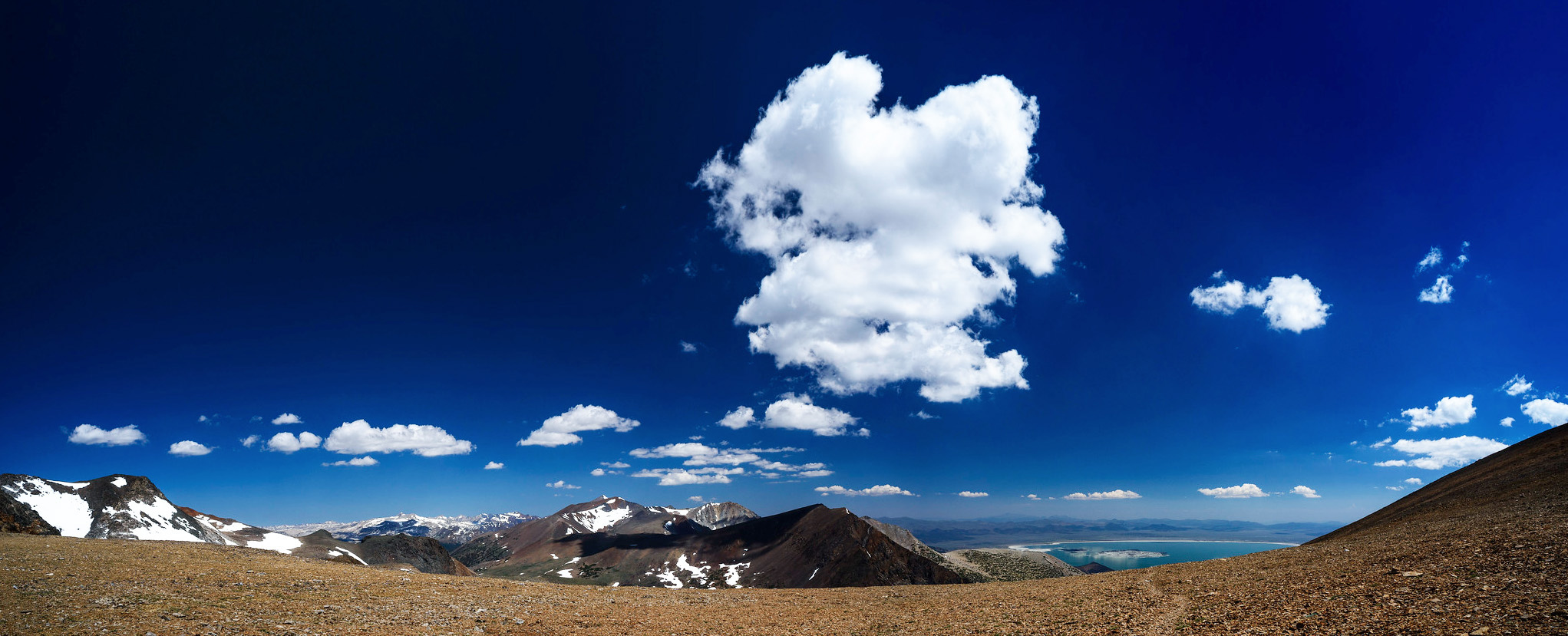 North view panorama from the top of Koip Peak Pass. Shadow of the big cloud is over Mt. Lewis, Mono Lake to its right about 5000 feet lower. The peak above the dark notch left of Lewis is Mount Dana, close to Tioga Pass. Mt. Lewis from the top of the switchbacks. [Text and photo courtesy of Peter Burke] |
|
Named in August 1900 by Ralph Hopping and Willis Linn Jepson for Hopping's daughter Claire, then about seven years old. "Here we made a midday camp, naming the bit of water 'Little Claire Lake,' tacking the sign to a tamarack-pine tree on the northern shore." [Sierra Club Bulletin - 1903] "One day when I was a small girl, my father and Professor Jepson returned from a trip to the mountains. Dismounting from his horse, Mr. Jepson picked me up and said, 'Well, we named a lake for you today'" [Letter from Thomas H. Jukes to Farquhar - 1939] |
 |
Edward Meyer Kern (1823-1863), artist and draftsman, topographer with John C. Fremont's third expedition to the West. The river was named by Fremont. He had split the expedition into two parties; Kern was with the Walker-Talbot detachment, which crossed Walker Pass in December 1845 and camped on the river. "From these circumstances the pass in which Walker and Kern were encamped was called Walker's Pass; and, as no name was know to Colonel Fremont for the stream which flowed from it, he named it Kern River. The stream was, and is now, known to the native Californians as the Po-sun-co-ia, a name doubless derived from the Indians. When I was at the ordinary crossing place of the river, and preparing a small raft to cross, three Californians rode up to the opposite bank, and asked, in Spanish, if this was the Po-sun-co-ia." (Williamson, Report, 17) Thus are false conclusions drawn. "Po-sun-co-ia" actually was given in August 1806 by Padre Zalvidea. "The river we called La Porciuncula, from the Saint's day of Los Angeles Pueblo, the 2nd of August, as it was discovered by us on that day, and our chaplain, the Rev. Father Jose Maria Zalvides [Zalvidea] ... celebrated solemn high mass with the best material and assistance we poor sinners of soldiers could give him." (A reminiscent account by an old soldier, son of Raymundo Carillo, San Francisco - Daily Evening Bulletin, June 5, 1865.) The river was first called Rio de San Felipe by Garces when he came upon it on May 1, 1776, a river "whose waters, crystalline, bountiful, and palatable, flowed on a course from the east through a straitened channel." Kern Lake and Little Kern Lake were created by a landslide in the winter of 1867-68. All the "Kern" names, including "Little Kern River" and "South Fork Kern River," were on the first editions of the Olancha and Mt. Whitney 30' maps, 1907.  |
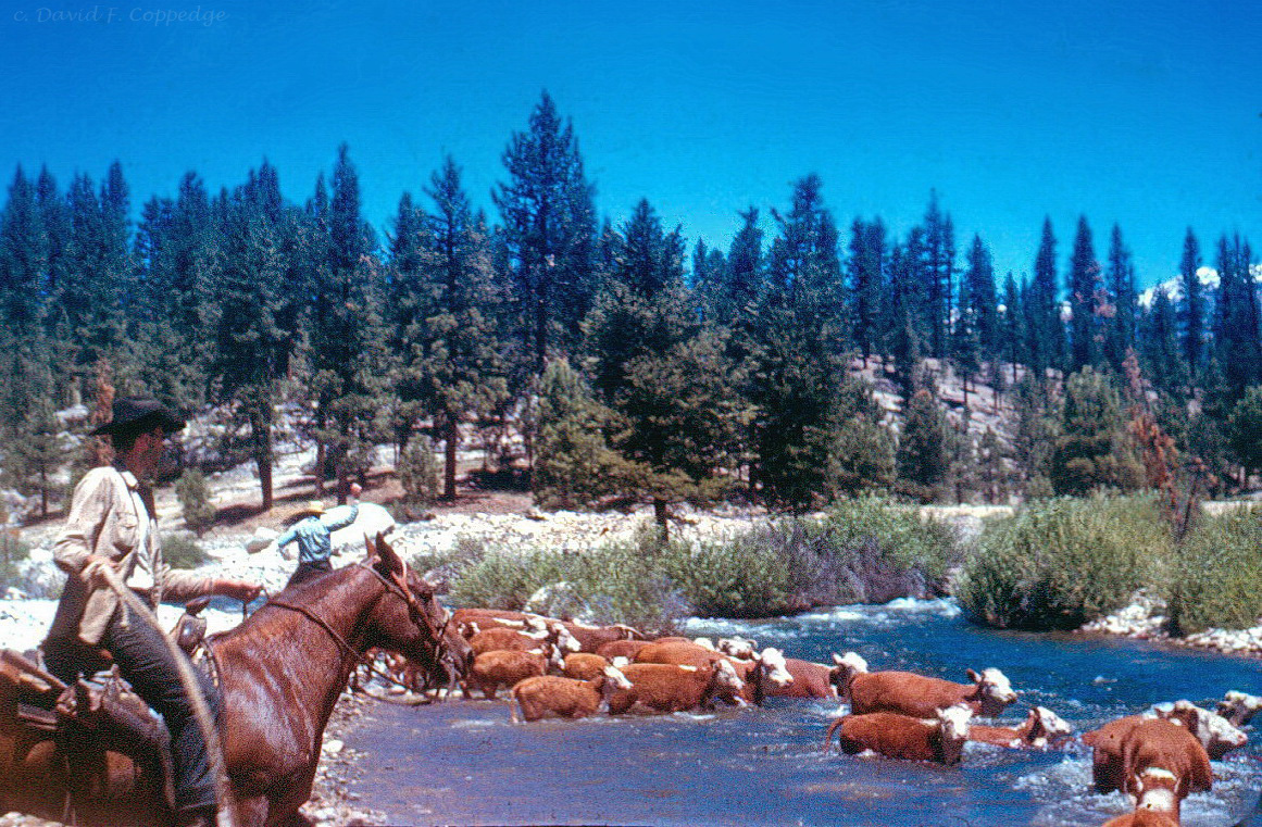 Little Kern River - Cattle crossing the river "Dad took a liking to the Little Kern River in the laste 1950s, because it was remote, wild and free. He took groups of teenagers (the Rangers or Teenage Rangers) there from about 1956 to 1972 for wilderness camping, fishing and character training. He wrote a ballad about this river that was pretty good. He used to sing it to us kids with his guitar. I heard about those early trips to the Little Kern, but was too young at the time to go. Not until the summer of 2000 did I hike out thee to see what he liked about it so much. After 1962, dad expanded his territory, eventually hiking to every fork of every river in the Sierra Nevada - 96 in all - as well as some in Wyoming and Montana. In July 1958, Dad was treated to the sight of cowboys driving their cattle across the Little Kern. It was like a picture out of the old west. My dad served the Lord his whole life, and I have, too, in similar and different ways, both in the Sierras and other ministries. (Photo and text courtesy of Dave Coppedge) |
  |
Ballad of the Little Kern |
 |
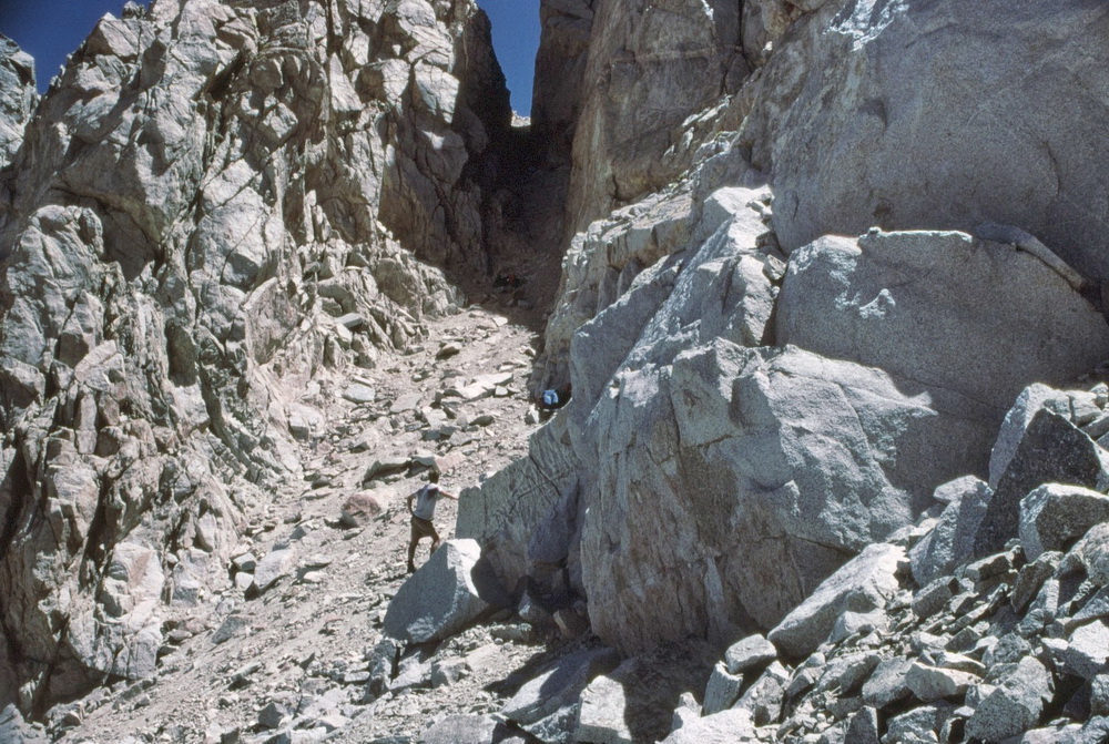
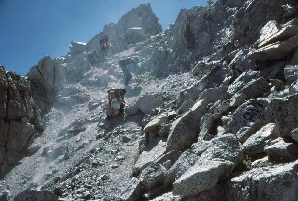
 |
Lucy's Foot Pass was named from Lucy Fletcher Brown. She and her husband, Bolton C. Brown, crossed this pass over the Kings-Kern Divide in 1896. [Sierra Club Bulletin - 1897] |
 |
|
 |
|

 |
Lyell Canyon was named on July 2, 1863, by William H. Brewer and Charles F. Hoffmann of the California Geological Survey from Sir Charles Lyell (1797-1875), whose admirable geological works have been well known to students of this branch of science, in this country, for the past thirty years. [Josiah Dwight Whitney - The Yosemite Guide Book] |
|
|
|
 In June 1877 four men located mineral deposits at an altitude of 11,000 feet. A mining district was formed, and the Mammoth Mining Company began work in 1878. All other "Mammoth" names derive from the name of the principal mine. [Sierra Club Bulletin - 1928] |
 Named by R. B. Marshall, USGS, for Mary Hooper Perry, daughter of Major William R. Hooper and sister of Selden S. Hooper, both of whom were with the USGS. [Farquhar: Marshall, Mary Hooper Perry] |
 |
Lake Marjorie is named for Marjorie Mott, the daughter of Mr. and Mrs. Ernest J. Mott. [Farquhar: E.J. Mott] |
Mather
Pass was named for Stephen Tyng Mather (1867 - 1930), the first
director of the National Park Service, 1917 - 1929. Mather was
a reporter for the New York Sun and went to work for the
Pacific Coast Borax Company in 1893. He was largely responsible
for marketing packaged borax under the "Twenty-Mule Team
Borax" trade name. In 1903 he formed an independent borax
company which made him wealthy enough to purchase privately owned
lands within Sequoia National Park. He purchase the Tioga Road
in 1915 and donated it to the government. [Sierra Club Bulletin 1931] |
|

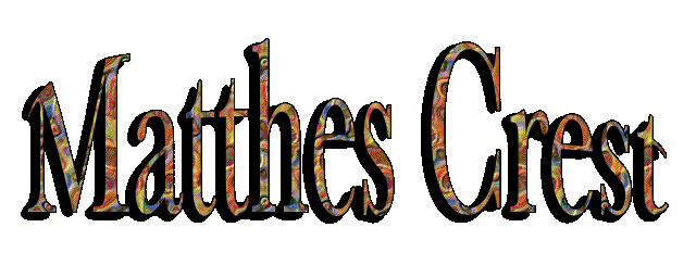 |
The names were first suggested for, and to, Francois E. Matthes in 1946;the proposal was made more formally by Reid Moran, a Yosemite National Park ranger, in 1949. "Dr. Matthes was a very modest and unassuming man and would have been the last to suggest that anythig be named in his honor. However, he was greatly pleased at the suggestion that this ridge bear his name, saying he knew no other unnamed feature in the Sierra which he would rather have chosen." Matthes Crest was known informally during the 1930s as "Echo Ridge" because of its proximito to Echo Peaks and Echo Lake. [Sierra Club Bulletin - 1949] |
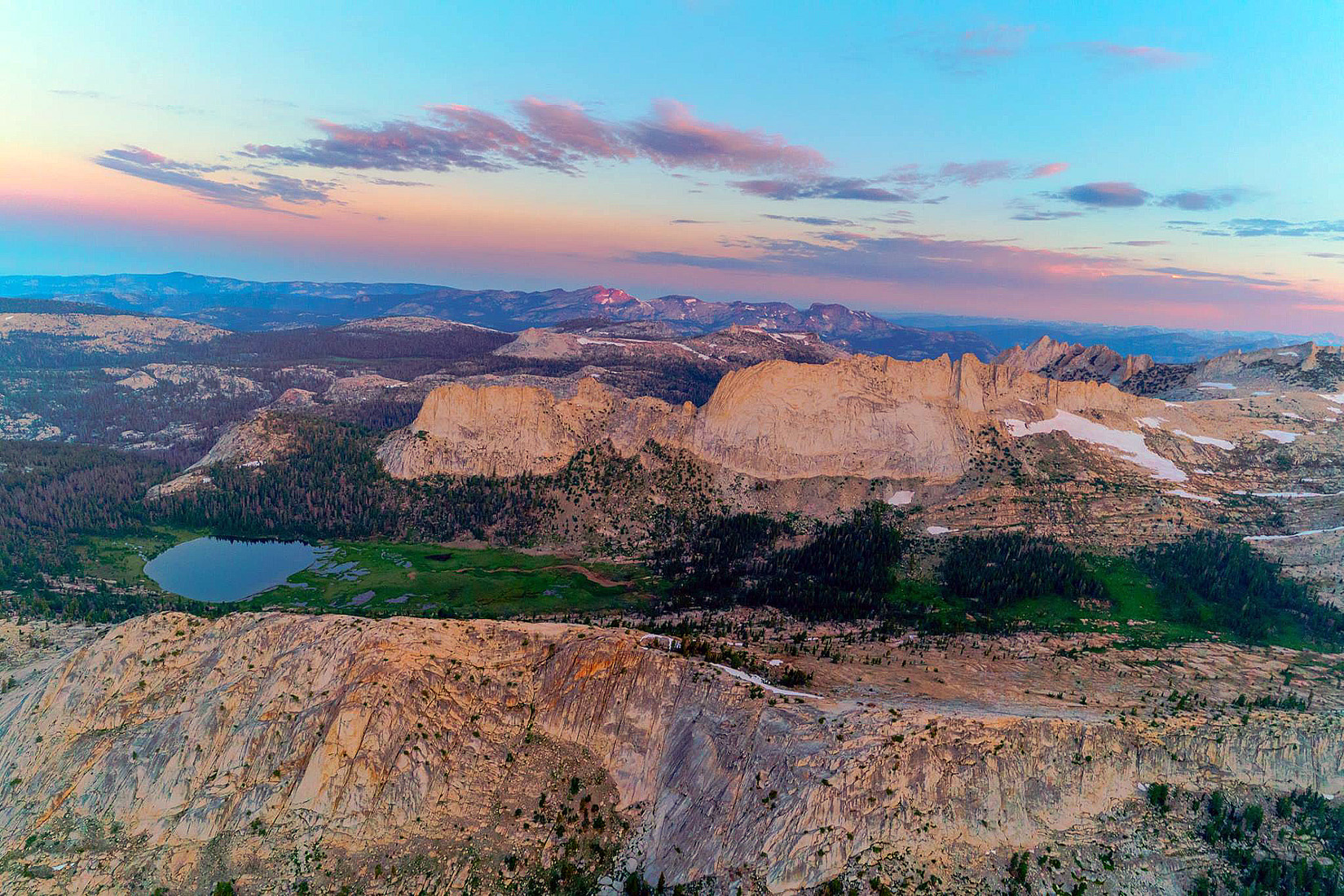
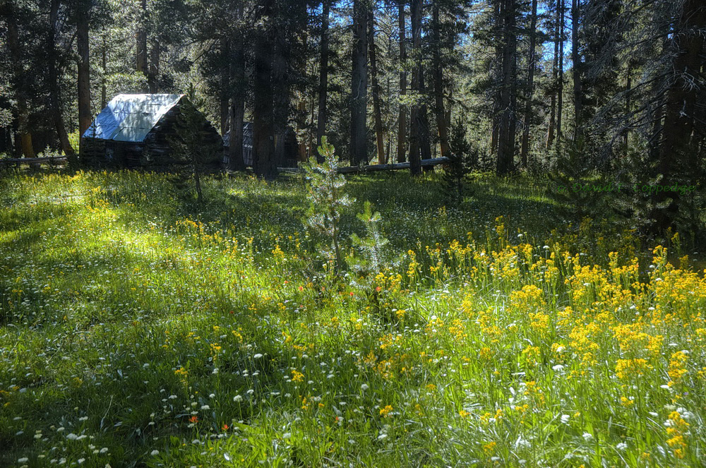
 According to the USGS, Maxson was an early stockman; not the same person as the "Maxon" referred to by Erwin Gudde, California Place Names. The dome and the meadows were name first; both are on the Mt. Goddard map, 1912. "Maxson Basin" is the most recent, having just appeared on the 7.5 quad, 1982.. [Sierra National Forest] |
The three McGee brothers, Alney, John, and Bart were pioneer cattlemen in Mono and Inyo counties. McGee Creek was name for Alney Lee McGee. All other "McGee" names probably are derived from the creek. [Inyo National Forest] |
 |
 |
Felix Meysan came to Lone Pine with his family in 1869, when he was four years old. His father, Charles, born in France, had a general merchandise store in Lone Pine. Felix stocked the Meysan Lakes with fish in the 1920s. [Saga of Inyo County] |
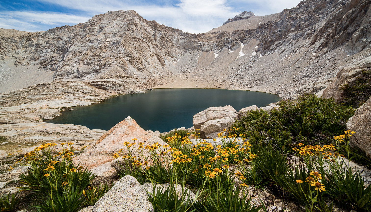
 Mildred Lake (the dark blue one) [Photo courtsey of Ed Cisnalis] |
 Named for Mildred Sovulewski, daughter of Gabriel Sovulewski, who served as ranger and supervisor in Yosemite National Park from 1906 to 1936. He first came to Yosemite with the US Army in 1895. [Yosemite National Park] |
 An obvious descriptive name; it first appears on Hoffmann's map of 1873. It is known among mountain prospectors as Milestone Mountain. "We were soon upon a plateau, and passed from this to a bowl-shaped mountain. And since this plateau and bowl have once been parts of Milestone, Professor Dudley named them Milestone Plateau and Milestone Bowl. Milestone Plateau has never been named on the maps. [W.W. Elliott & Co. - A Guide to the grand and sublime scenery of the Sierra Nevada in the region about Mount Whitney - 1883] The USGS added the name (Midway Mountain) to the 15-minute map, in 1956, because it was in common use. It is the highest point on the Great Western Divide. In 1881 the Langley part on the summit of Mount Whitney gave this mountain the name of "Mount Michaelis," for Captain Otho Earnest Michaelis, U.S. Army Signal Corps, who was assigned to accompany Langley, "Captain Michaelis gave us a vivid description of the battle-ground of the Little Big Horn. He was the first white man to reach the body of General Custer on that ill-fated field." The name "Mount Michaelis" never made it onto the maps. [W.B. Wallace in Mount Whitney Club Journal] |
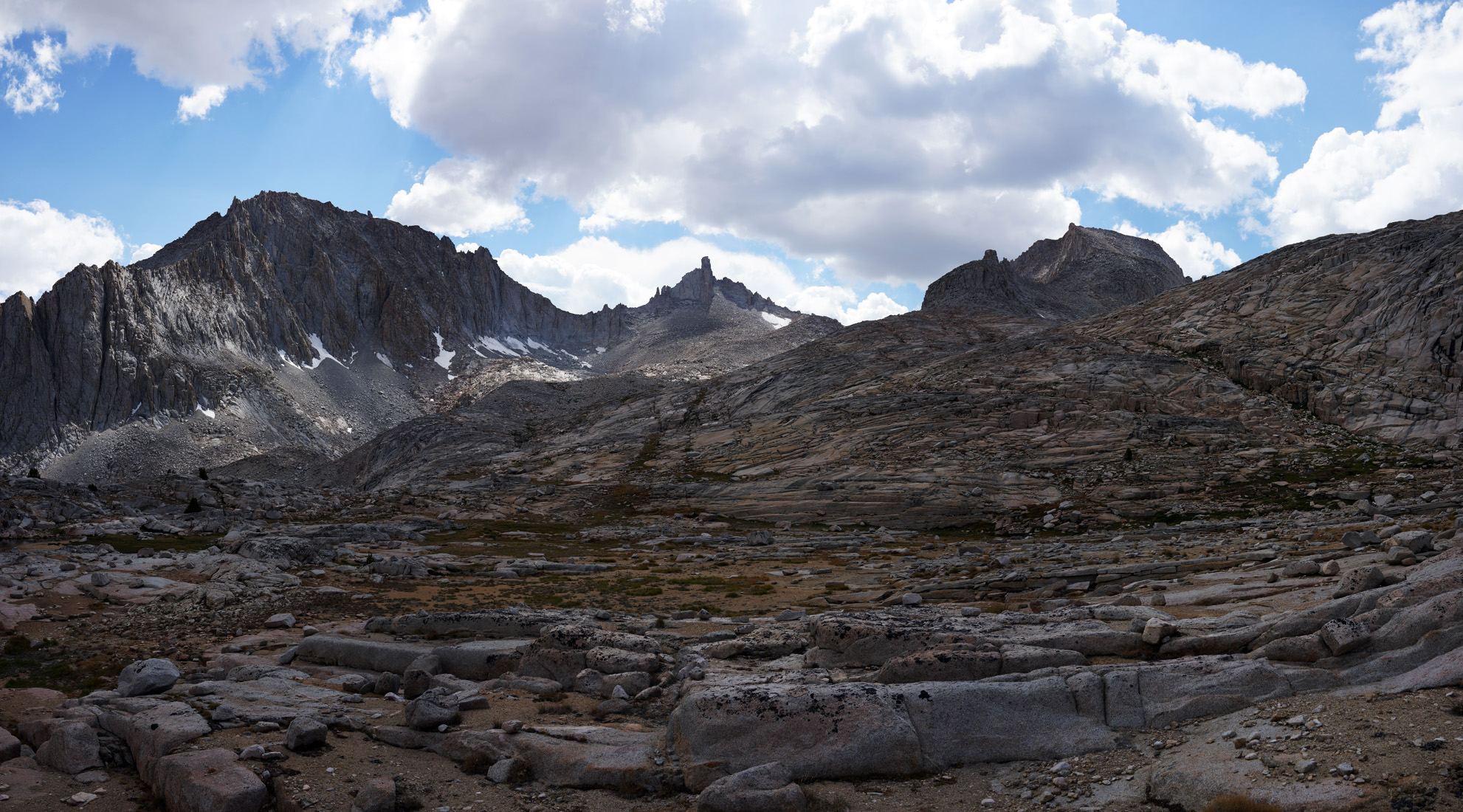
 First crossed in July 1953 by Mildred Jentsch and Sylvia Kershaw. The name was added to the 15 minute map in 1956 by the USGS because it was in common use. [Kings Canyon National Park] [Sequoia National Park] [The Climber's Guide to the High Sierra, 1956] |
|
 |
This was a name suggested by Chester Versteeg in the 1930s because the mountain's shape looks like a bishop's heeaddress. [Sierra Club Papers] |
 |
 Monache Creek and Monache Meadows are the remnant names of a failed attempt by the citizens of Owens Valley in 1864 to create a new county south of Mono County. They wanted to name the new county, Monache County in honor of the Monachi Indians. [Walter Chalfant, The Story of Inyo] [photo: unknown] |
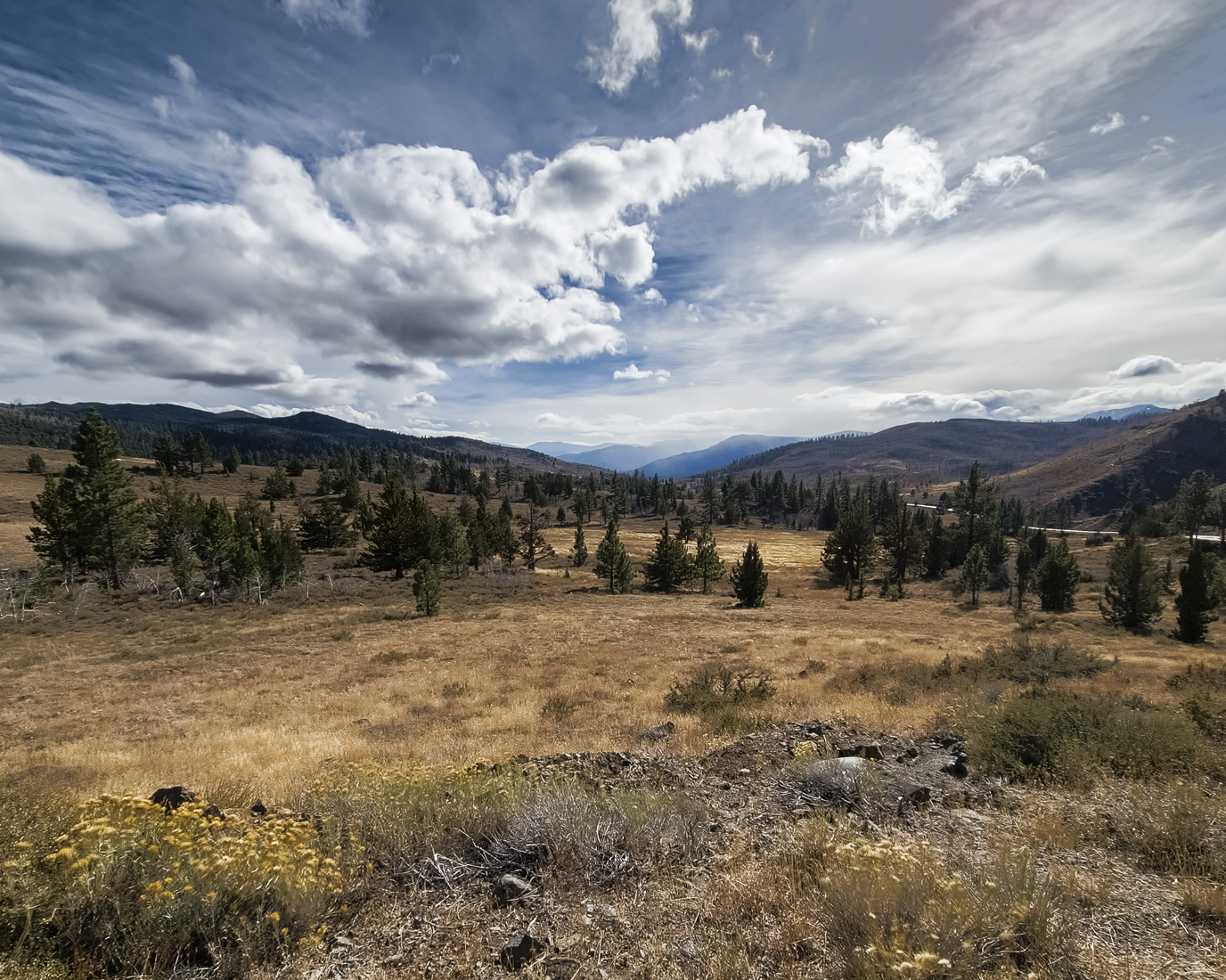
 The town of Monitor was named in 1863 for the ironclad Monitor, which fought the Merrimac at the Battle of Hampton Roads, March 9, 1862. The district flourished during the 1860s and 1870s, at one time had a population of 2,000, and had a post office from 1863 to 1888. Joseph LeConte had his horse shoed in Monitor in 1870. [Toiyabe National Forest] |
|
 |
Mono
Jim Peak is named after a native Paiute guide, who along with
Robert Morrison was killed near Convict Lake during a fight with
escaped convicts from the Nevada State Penitentiary. |
 Looking down the slope of Mono Jim Peak towards Convict Lake. [Photo courtesy of A. J. Kaufman] |
 Mono Jim Peak (left) and Mt. Morrison (taller to the right). [Photo courtesy of noondueler] |
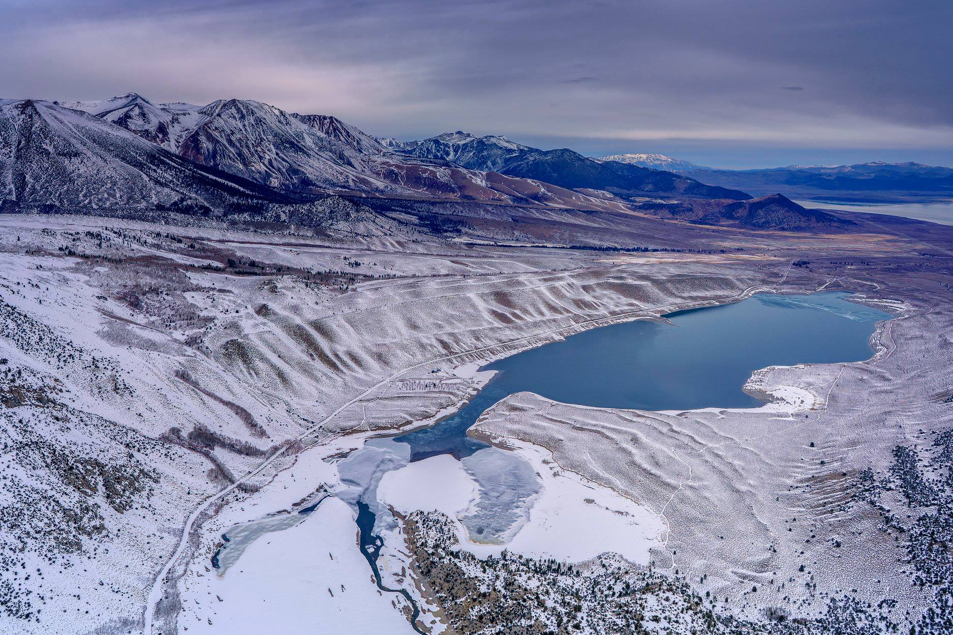
Mono County and Mono Lake are named after a wide-spread division of Shoshonean Indians on both slopes of the Southern Sierra Nevada. By their Yokuts neighbors they are called Monachi. The Yokuts word for "flies" was monoi, monai or monoyi." If we assume that this word forms the stem of monachi, it is quite certain that the name means "fly-people" and is quite properly applied. On the sore of the otherwise barren lake are found countless millions of the pupae of a fly. These pupae were not only the favorite food of these Indians, but they used them for trading with the neighboring tribes. The conclusion is that the Yokuts called these Indians Monachi because their wealth consisted of flies. The worms are dried in the sun, the shell rubbed off, when a yellowish kernel remains, like a small yellow grain of rice. The first use of the word as a geographic name was by Lt. Tredwell Moores party in July 1852, calling the lake "Lake Mono" after the local Indian tribe. [Alfred Lous Kroeber - California Place Names of Indian Origin - 1916] |
 |
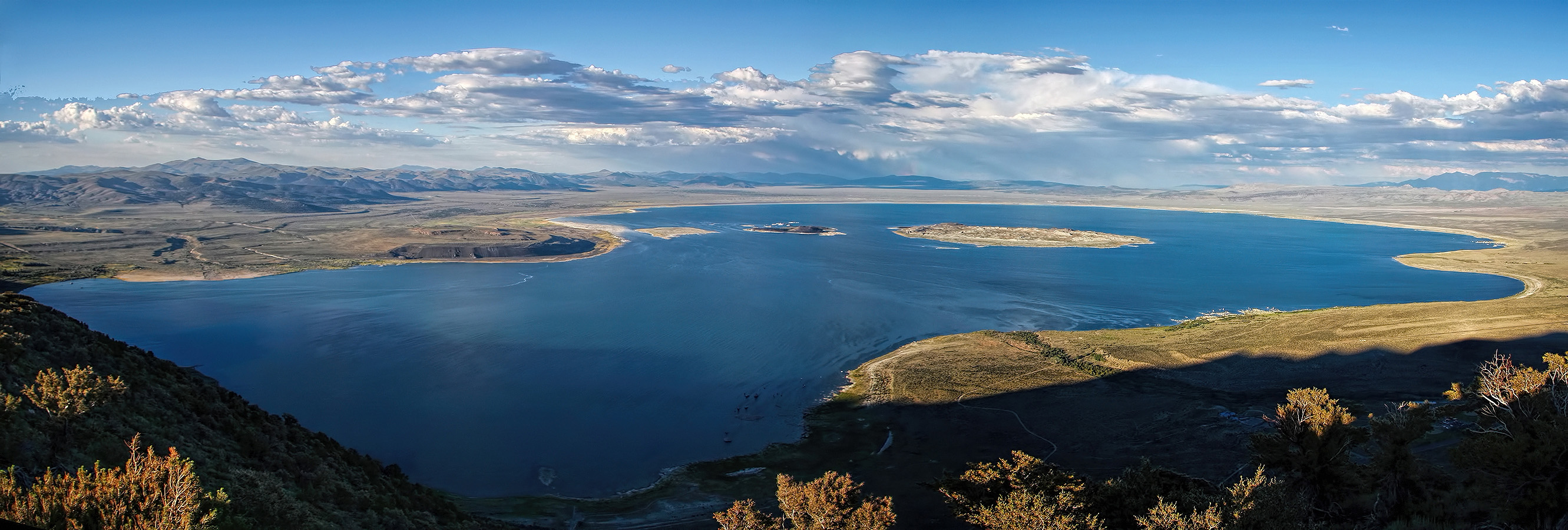 Mono Lake [Photo courtesy of Dave Toussain] |
|
 Mono Lake [Photo courtesy of Ed Cisnalis] |
|
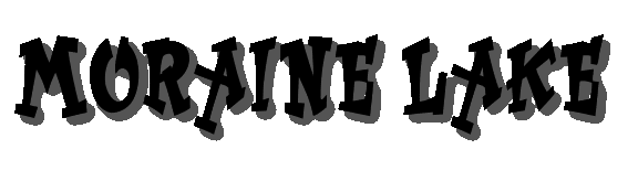 Moraine Lake was named in July 1897. William R. Dudley said it was formed in the bowl of a great, gravelly, porous moraine, hence the name we gave it seemed particularly appropriate. [Sierra Club Bulletin - 1903] |
|
 Moraine Lake sitting atop the Chagoopa Plateau with the peaks of Mineral King in the background [Photo courtesy of Ed Cisnalis] |
|
 The mountain was named in 1878 by the Wheeler Survey for one of its members, J.H. Morgan, of Alabama. The creek and other names derived from the mountain. [Erwin G. Gudde - California Place Names] |
|
 Robert Morrison, a member of a posse pursuing escaped convicts, was killed by one of them near Convict Lake on September 24, 1871 Robert Morrison, a member of a posse pursuing escaped convicts, was killed by one of them near Convict Lake on September 24, 1871[W. A. Chalfant - The Story of Inyo] |
 One version has it that the mountain was named during a fishing trip many years ago when an elderly member of the party was nicknamed "Moses." the other version is that the government surveyor who named Mount Maggie was named Moses Peabody, with the implication that he named this mountain for himself. [Farquhar: Versteeg] |
 Moses Mountain [Photo courtesy of Unknown] |
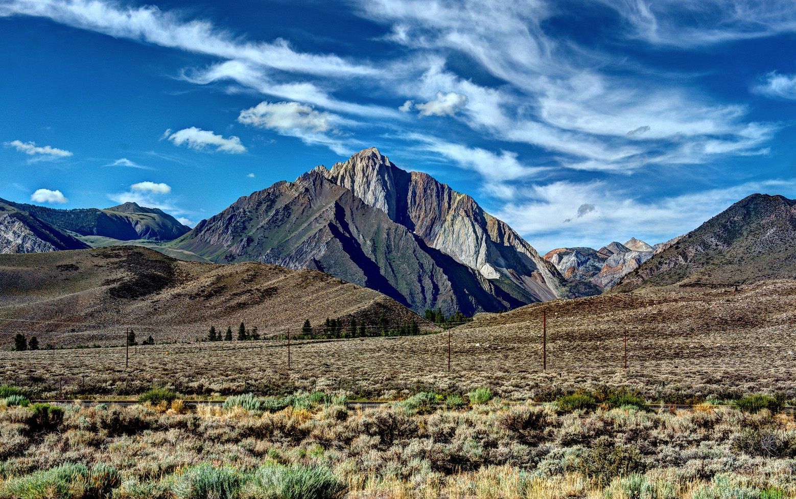
 Mulkey Meadows, Creek, and Pass were named after Cyrus Mulkey sheriff of Inyo County, 1871-74 [W. A. Chalfant - The Story of Inyo] |
||||||
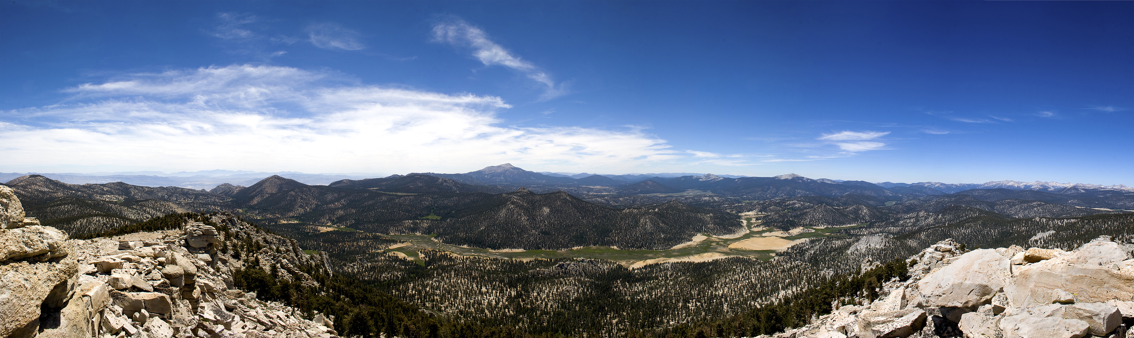 Mulkey Meadow [Photo courtesy of Mike Rose] |
||||||
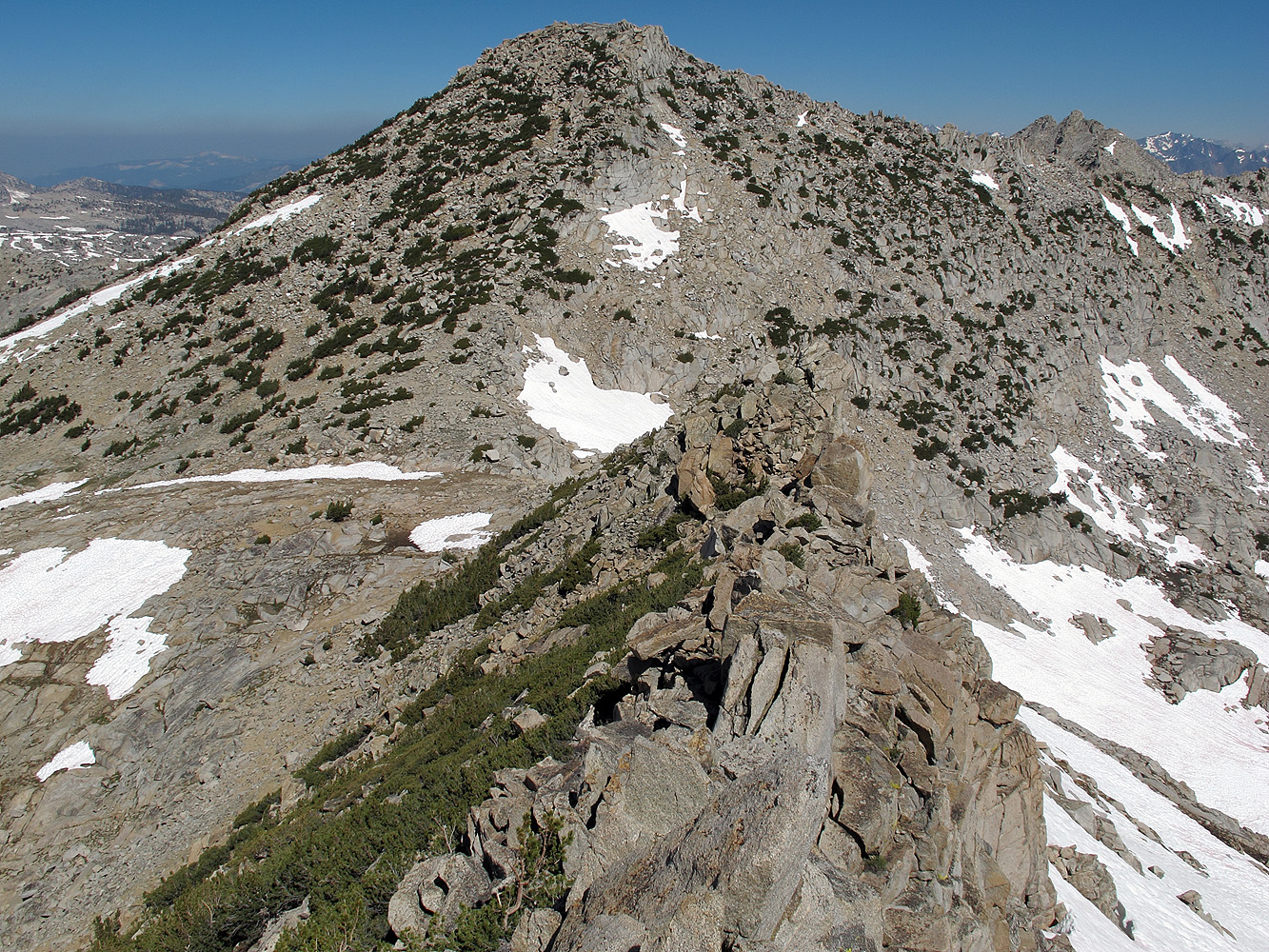
 For Maynard Munger (1902-1972), local civic and business leader who was instrumental in protecting and preserving Kings Canyon, Sequoia, and Yosemite national parks. The peak is not named on the existing maps. It is half a mile northwest of Goat Mountain. [US Board of Geographic Names decision, 1978] |
|
 Muro Blanco, Spanish for "white wall," an appropriate descriptive name for the northwest side of Arrow Ridge. The name probably was applied by the USGS during the 1903 survey for the Tehipite map. [Kings Canyon National Park] |
Further Reading
This is perhaps the most fascinating book you can read about construction of the John Muir Trail
"Pathway in the Sky: The Story of the John Muir Trail" by Hal Roth 1965
RECOMMENDED READING |
|
|
Trans-Sierra Highway | |
|
|
Slim Randles "Night Ride" | |
|
|
Olancha | |
|
More Sierra Place Names |
|
|
|
George Brown, Native American |
|
|
|
To the Top of Mt. Whitney by Rena Moore |
Sign Guestbook View Old Guest Book Entries Oct 1999 - Feb 2015 (MS Word) |
 CONTACT the Pigmy Packer |
View Guestbook View Old Guest Book Entries Oct 1999 - Feb 2015 (PDF) |