|
|
|
|
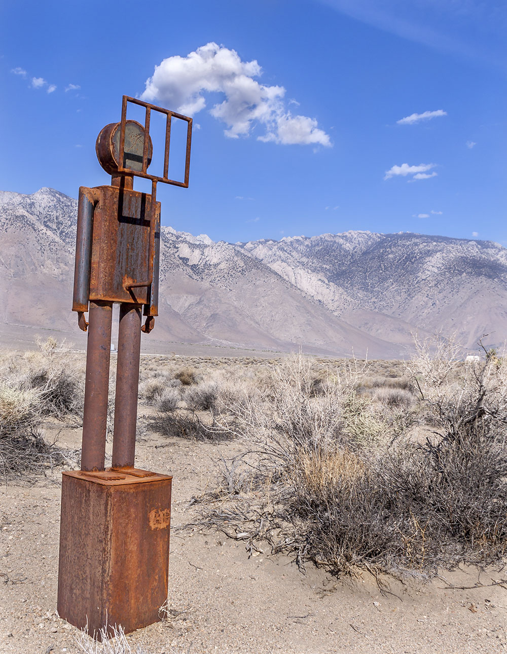
The following are photographs I have taken in and around Owens Valley.
More of my Owens Valley photographs can be found on FLICKR.
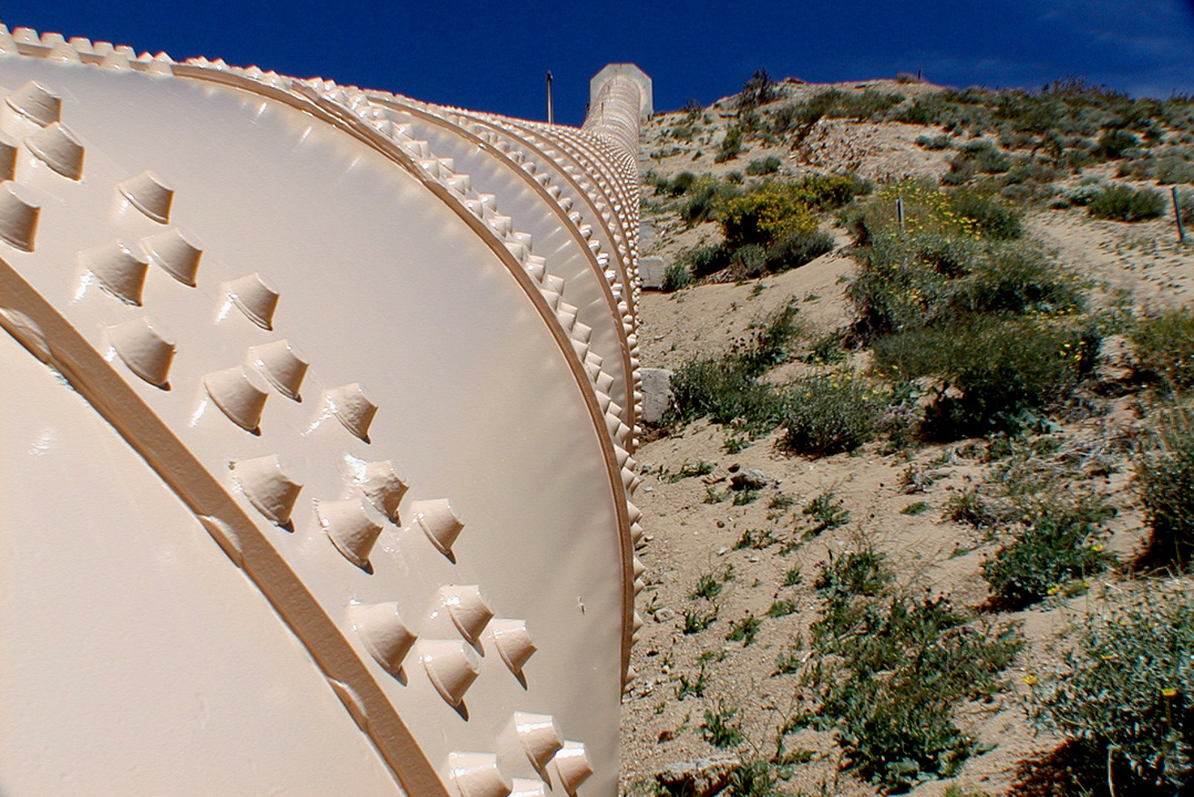
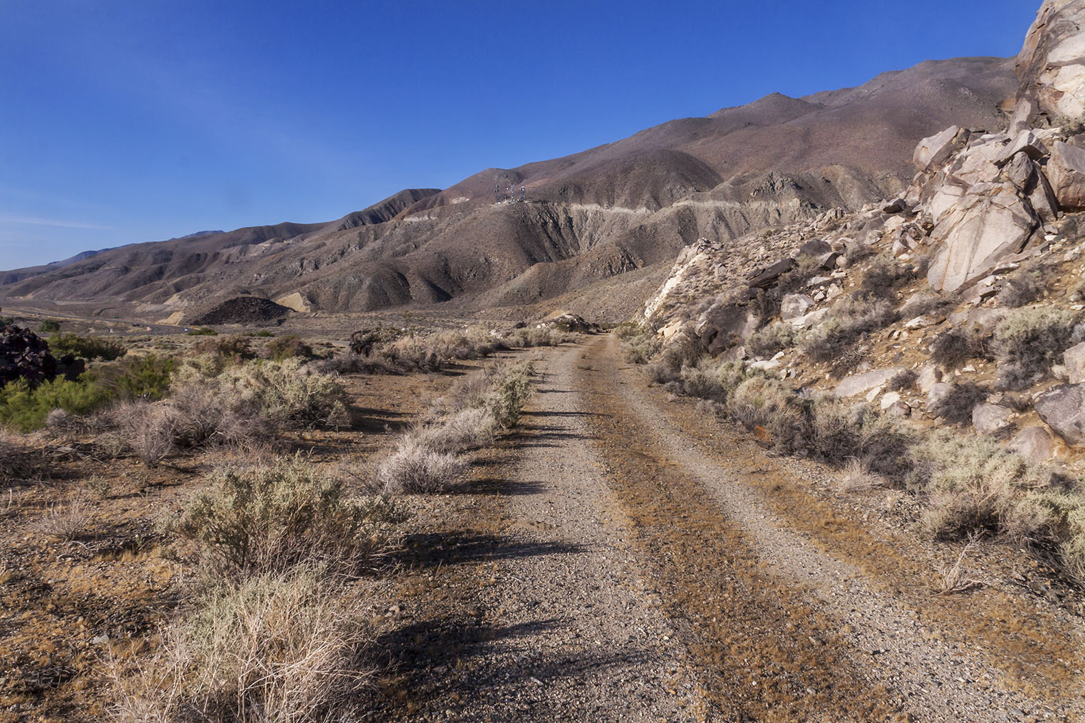
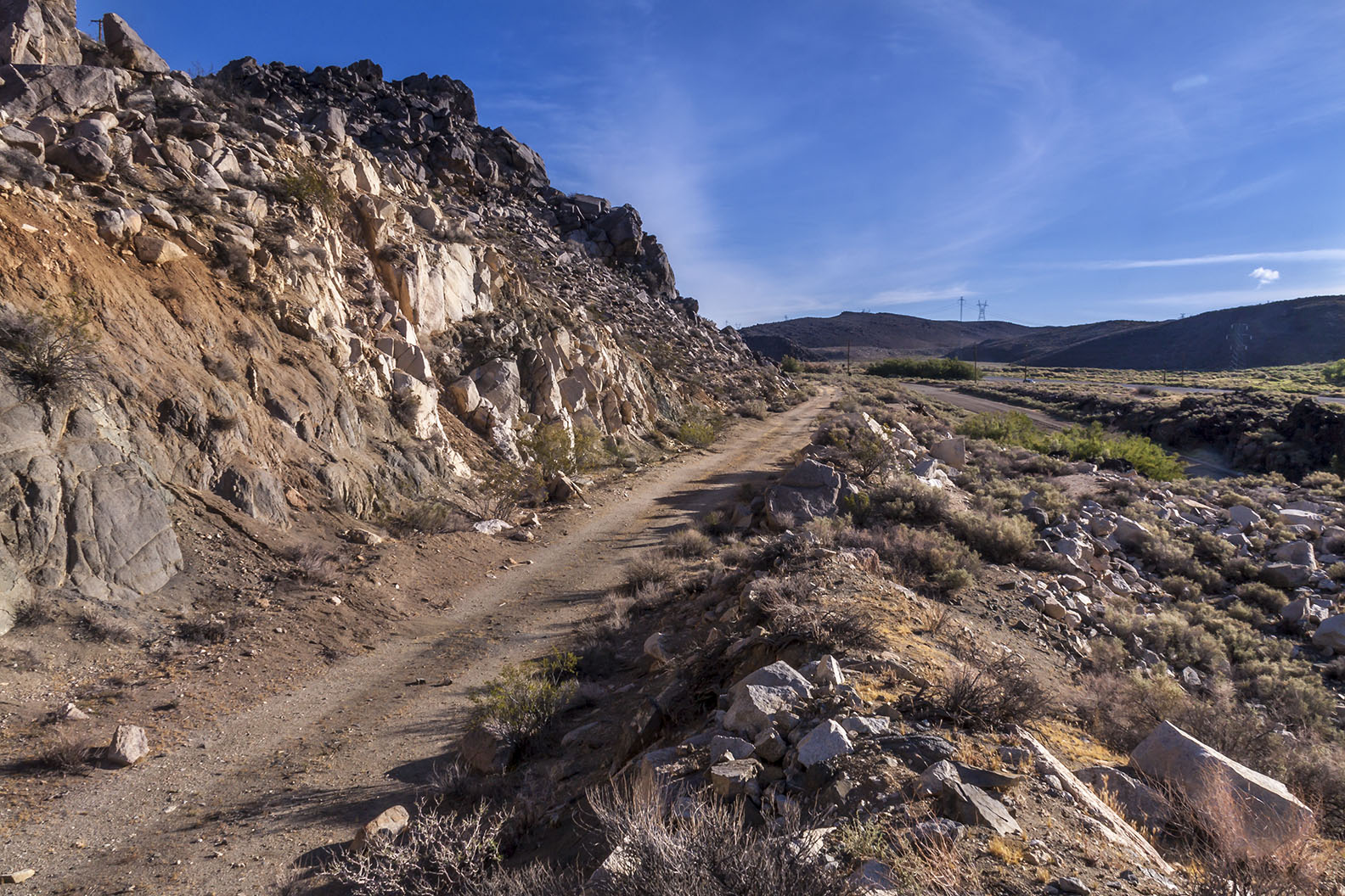
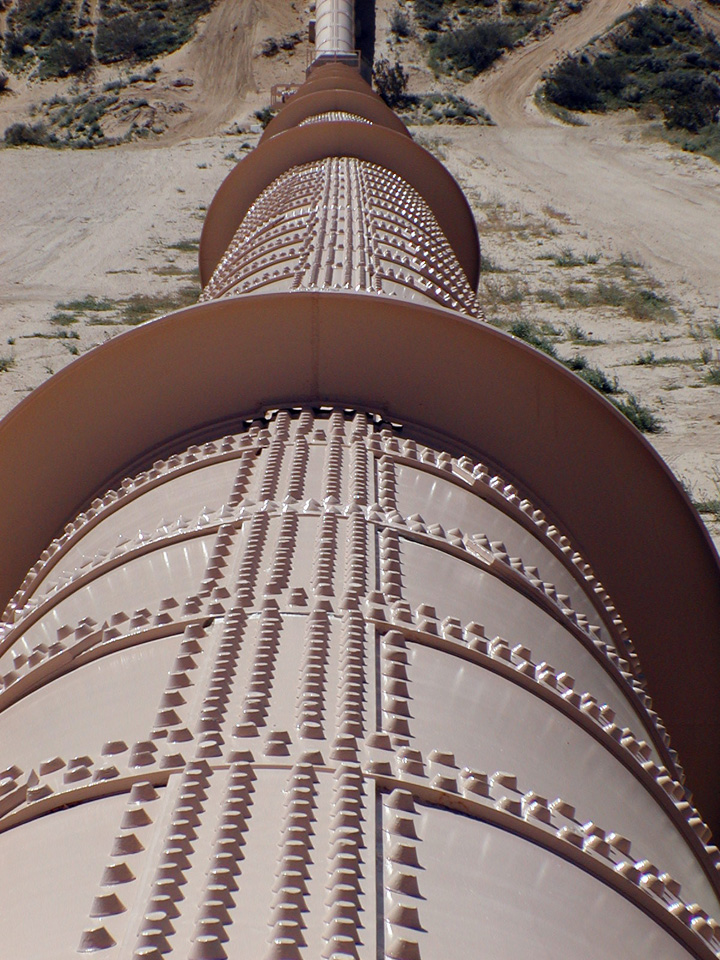 Owens Valley Aqueduct at Jawbone Canyon - March 2011 |
|
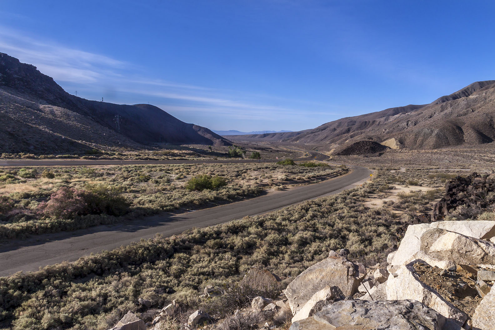
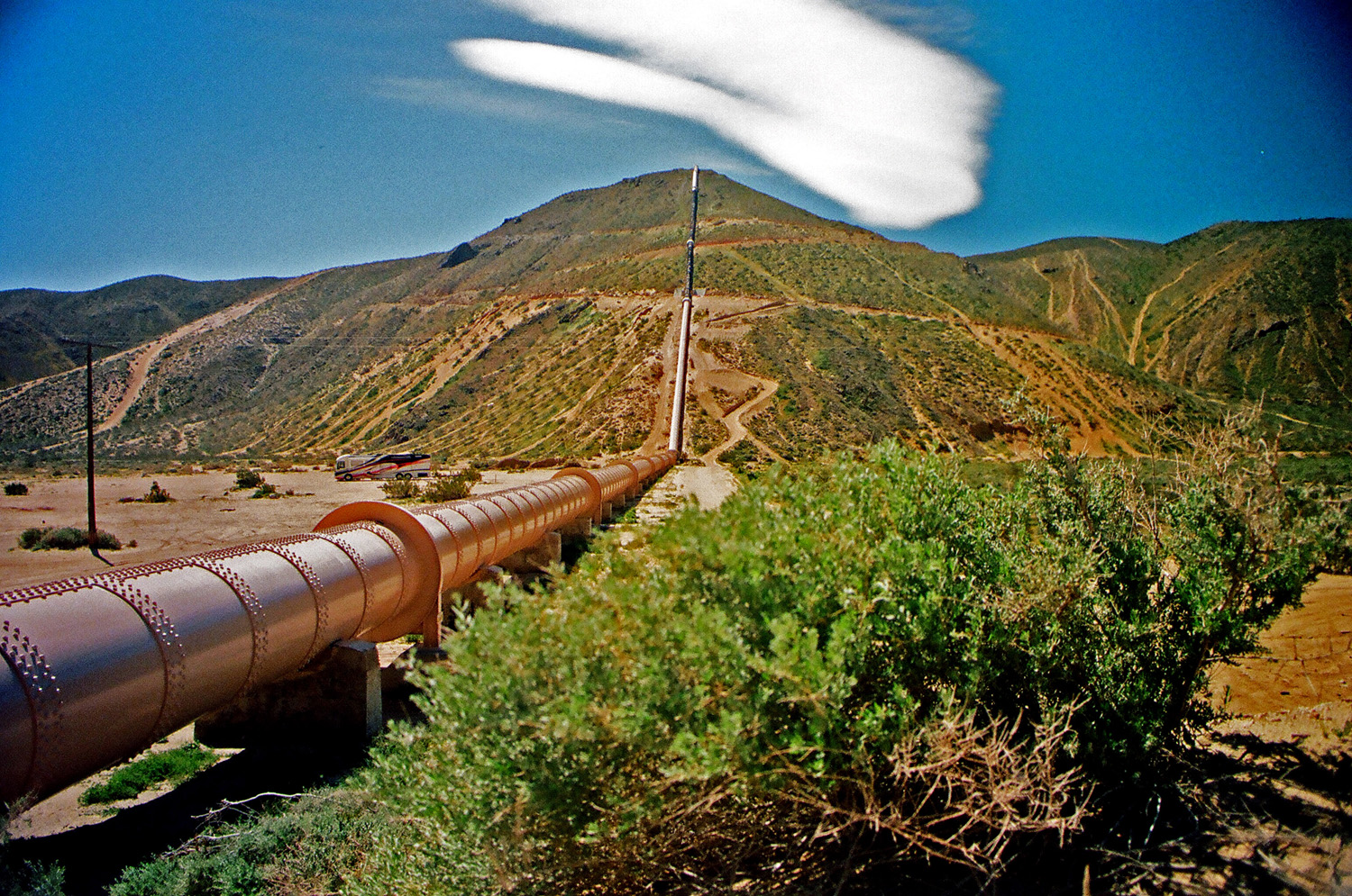 Owens Valley Aqueduct at Jawbone Canyon - March 2011 |
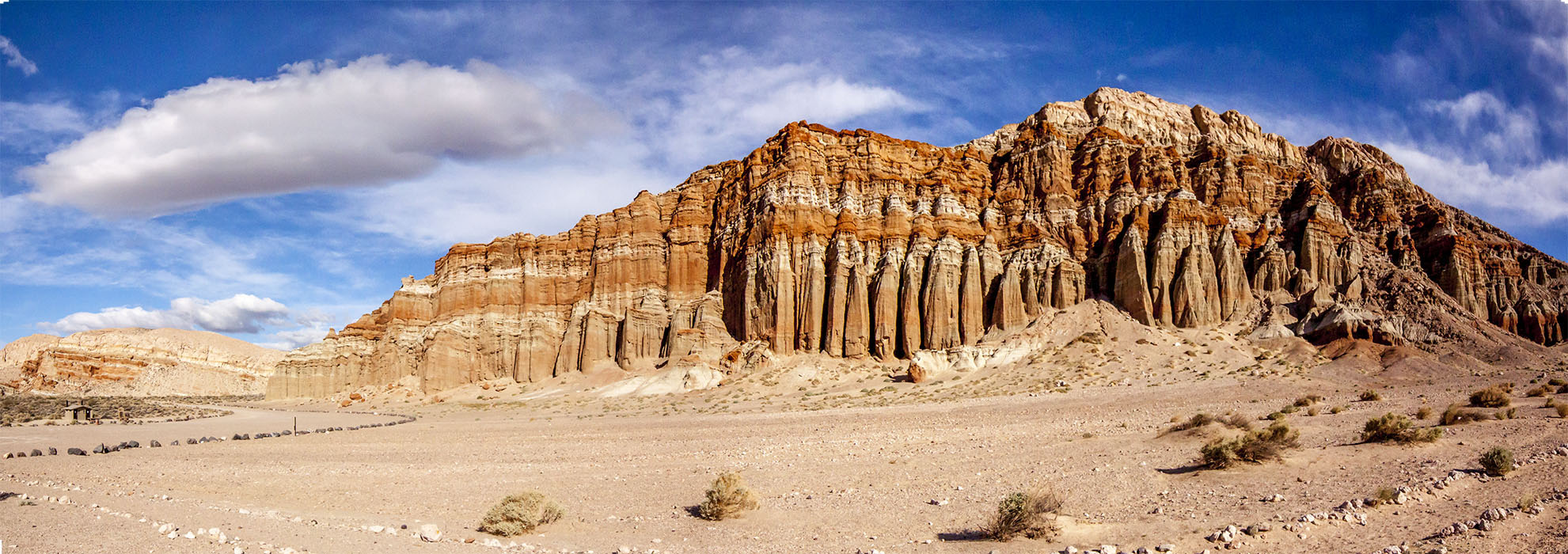 Red Rock Canyon on California State Route 14 on the way to Owens Valley |
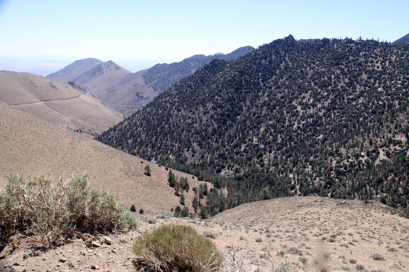
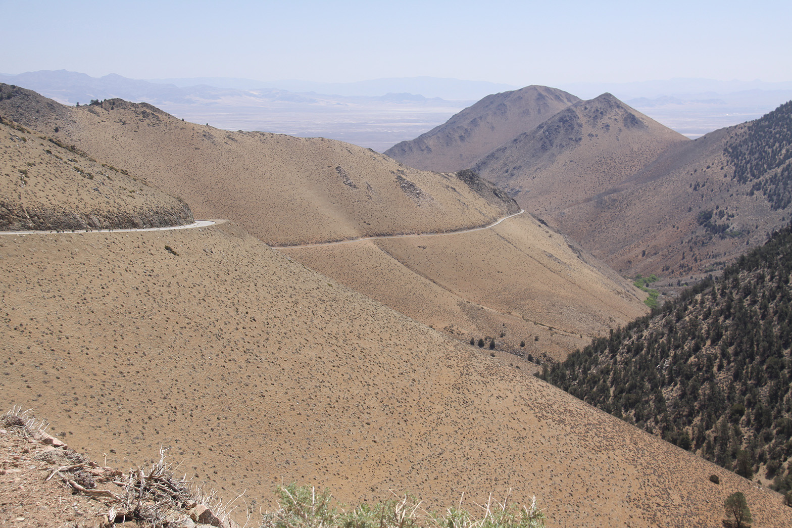 Nine Mile Canyon Road back to Kennedy Meadows |
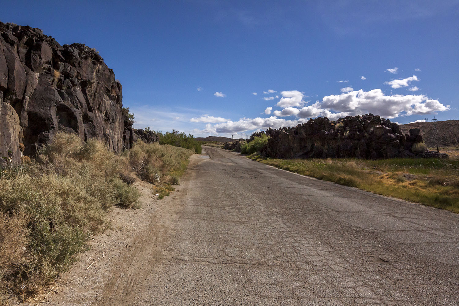
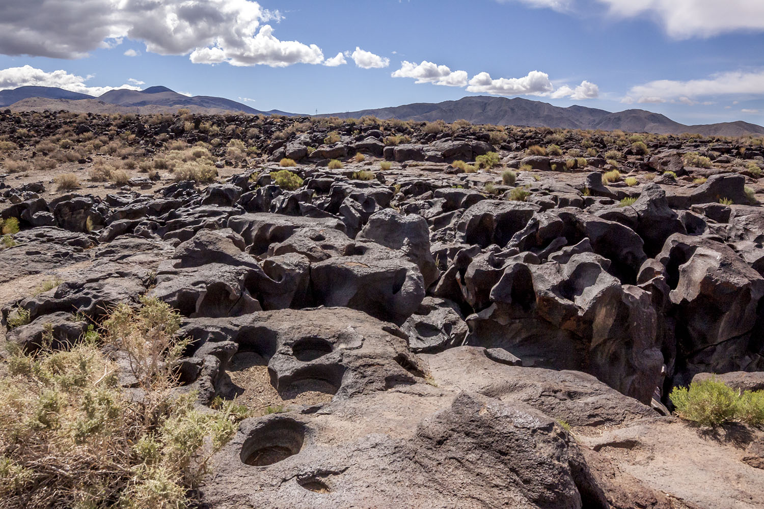
 Lava outcrop just south of Little Lake off of old U.S. 395 |
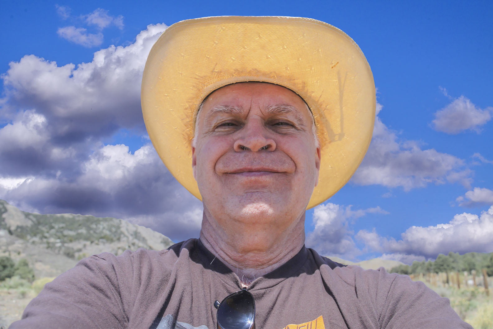 Me on the Nine Mile Canyon Road |
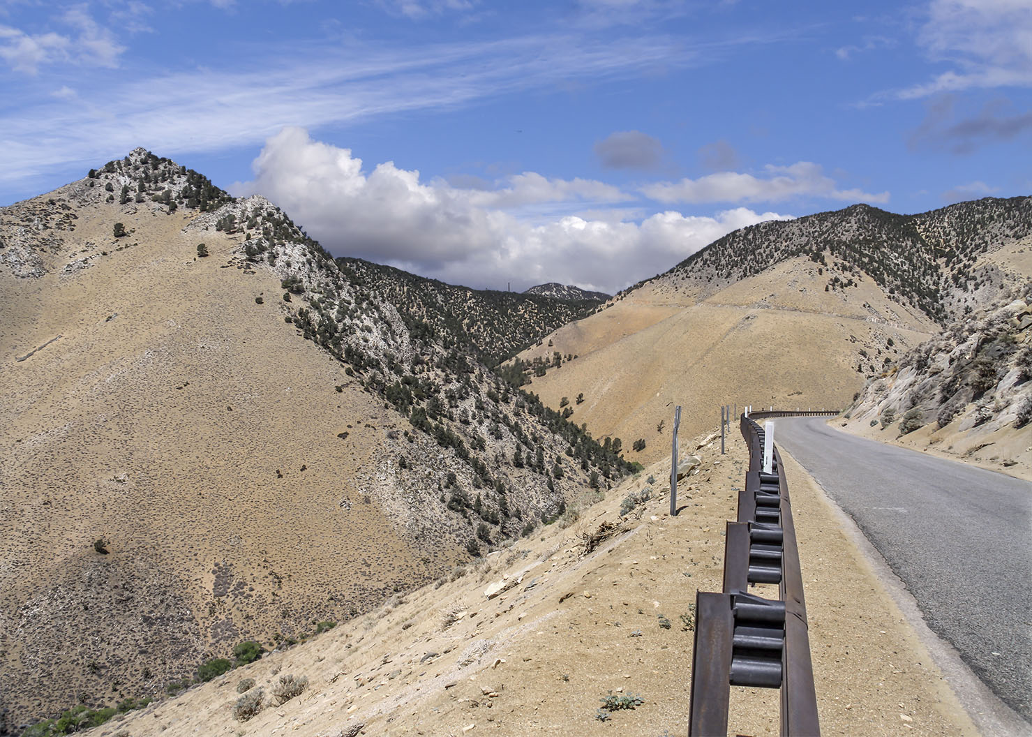 Nine Mile Canyon Road back to Kennedy Meadows |
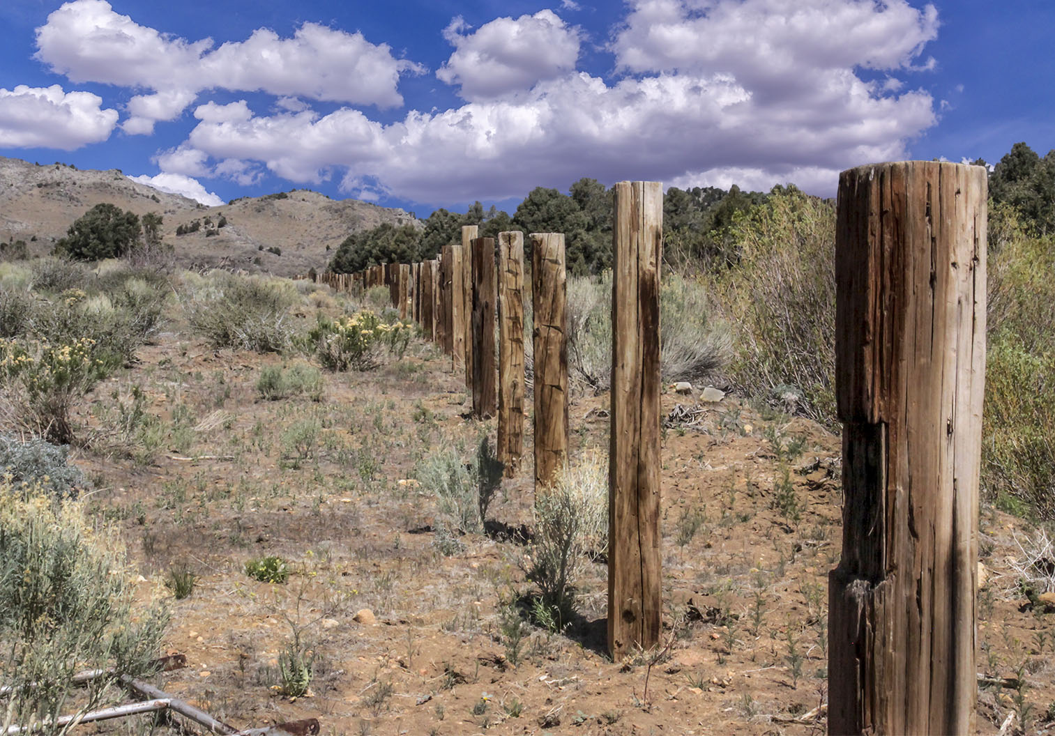 Fence on the Nine Mile Canyon Road |
|
Nine Mile Canyon Note: It was on the Nine Mile Canyon Road that Catherine (C.C.) Anderson had a fatal accident. Catherine was one of the Spainhower Ranch girls and quite beautiful. Note: It is at the summit of the Nine Mile Canyon Road that the local Lone Pine Piute Native Americans harvest pine nuts in the fall. |
|
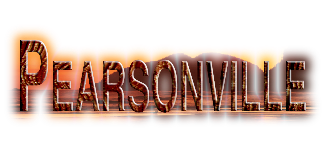
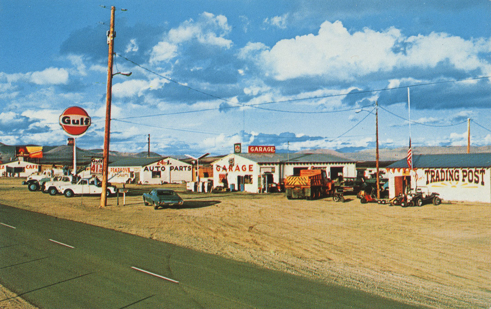
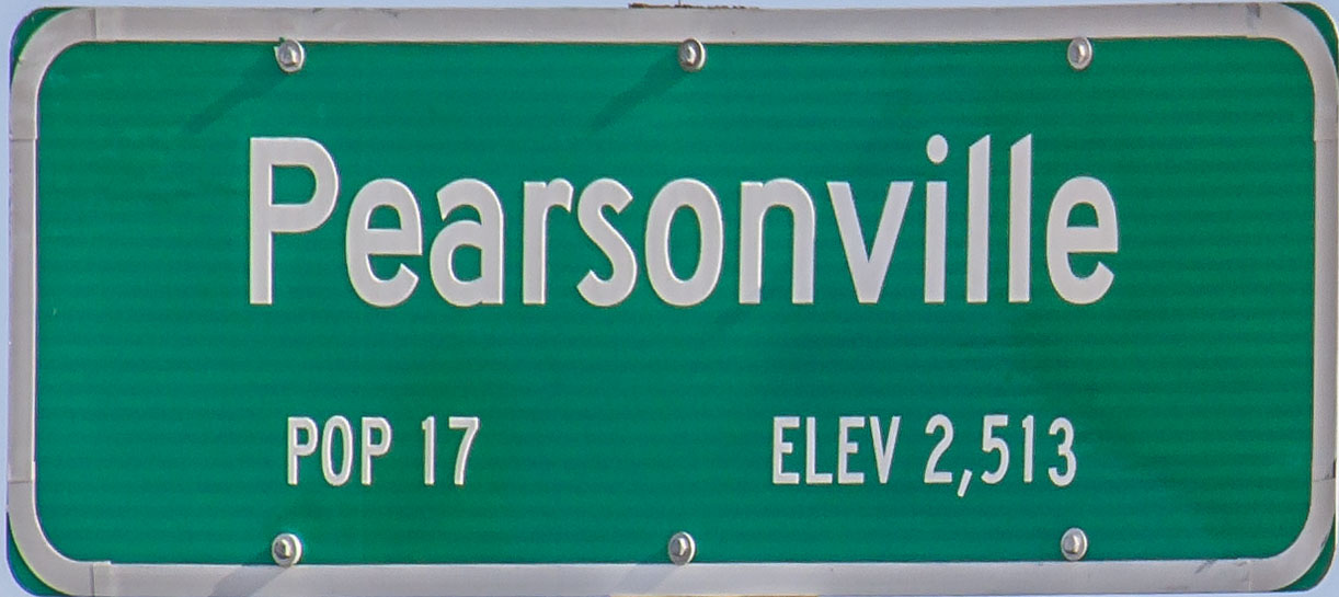 Pearsonville - Hub Cap Capital of the World |
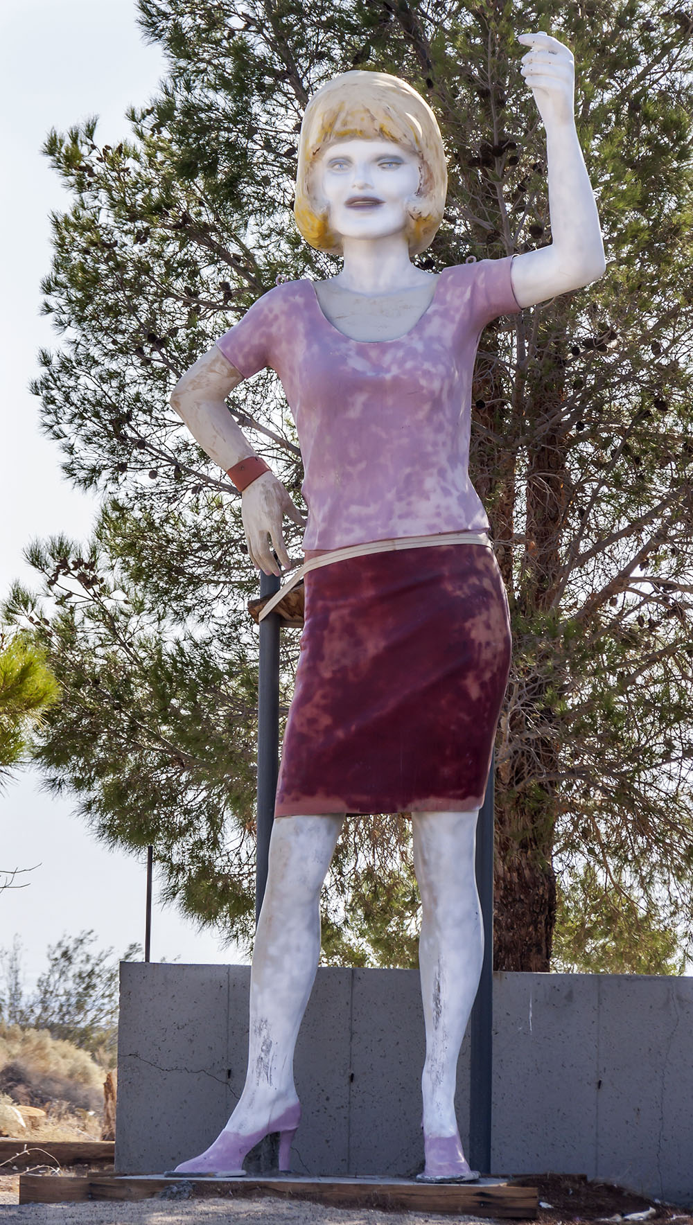
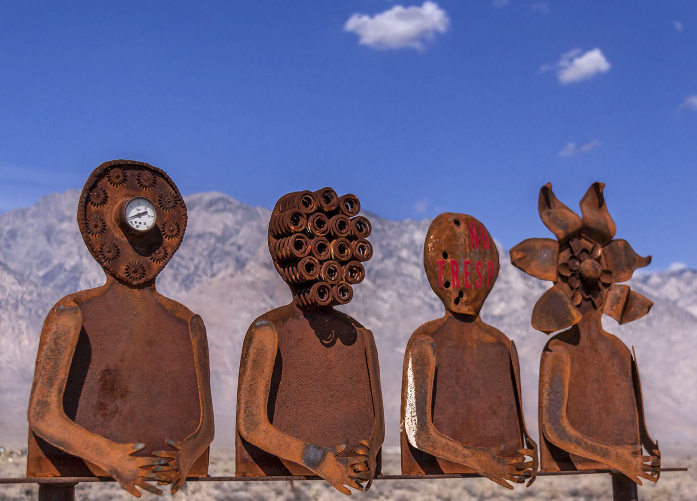
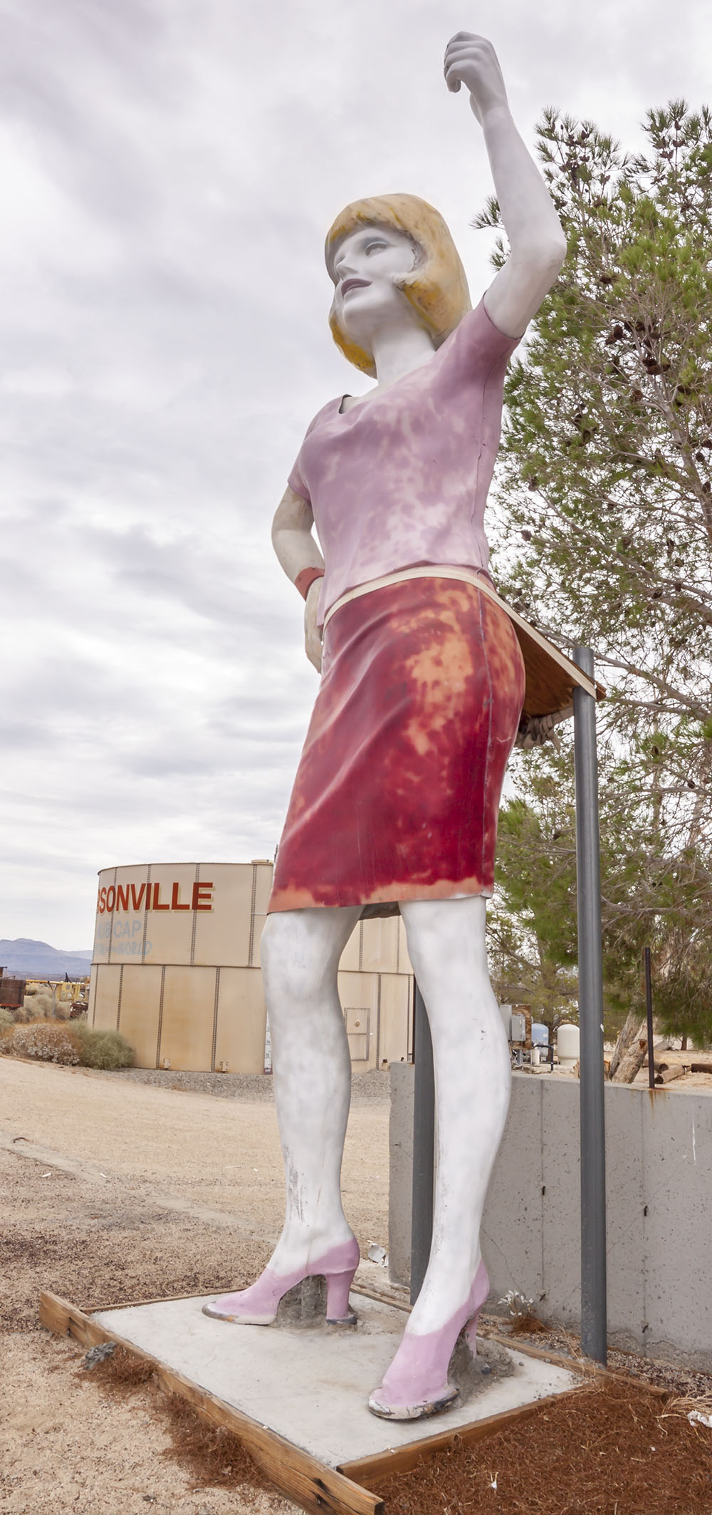 Pearsonville resident. |
||
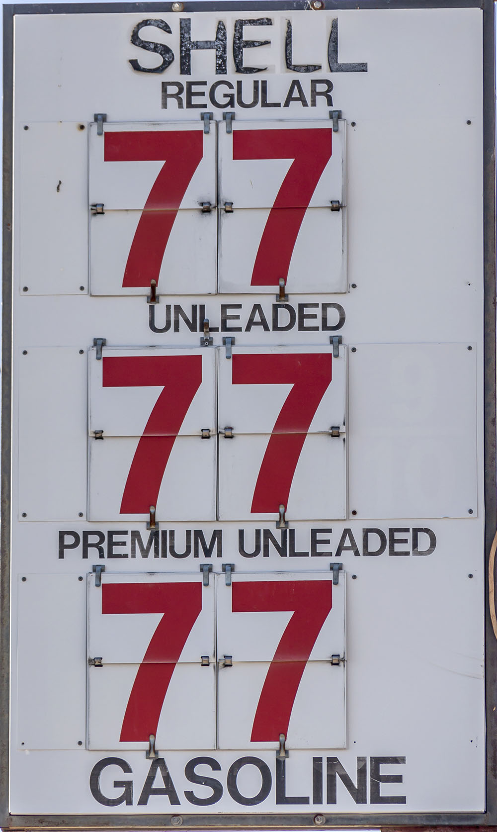 Pearsonville - where the gasoline prices never change |
 |
||
|
|||
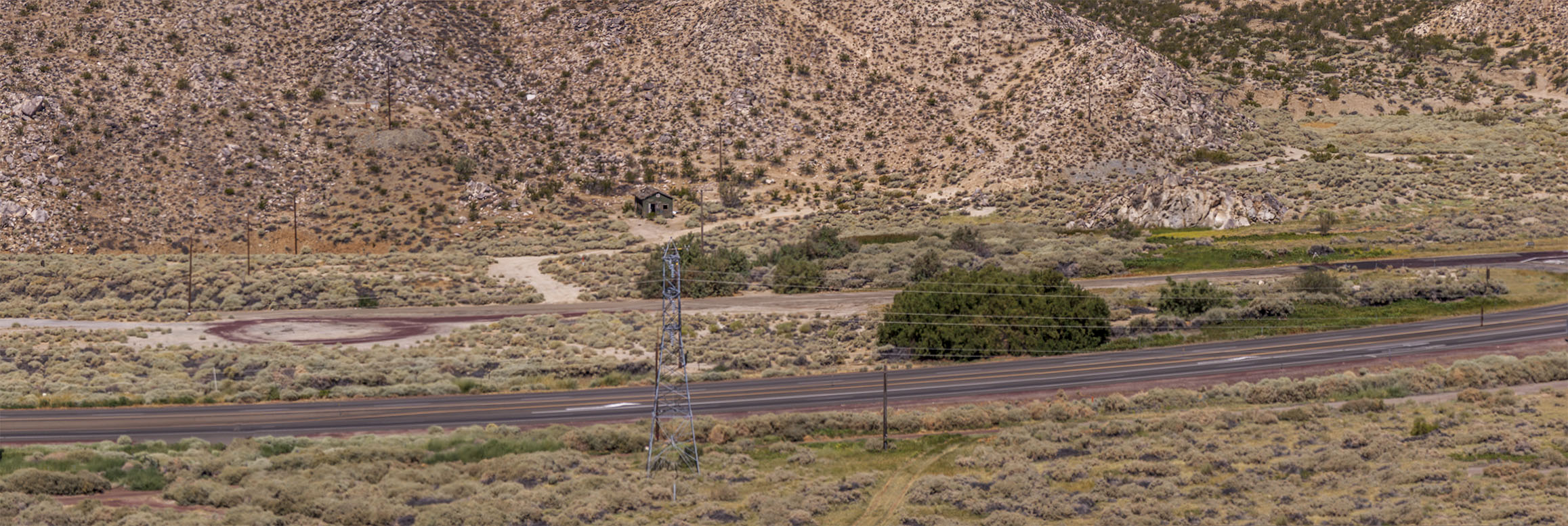
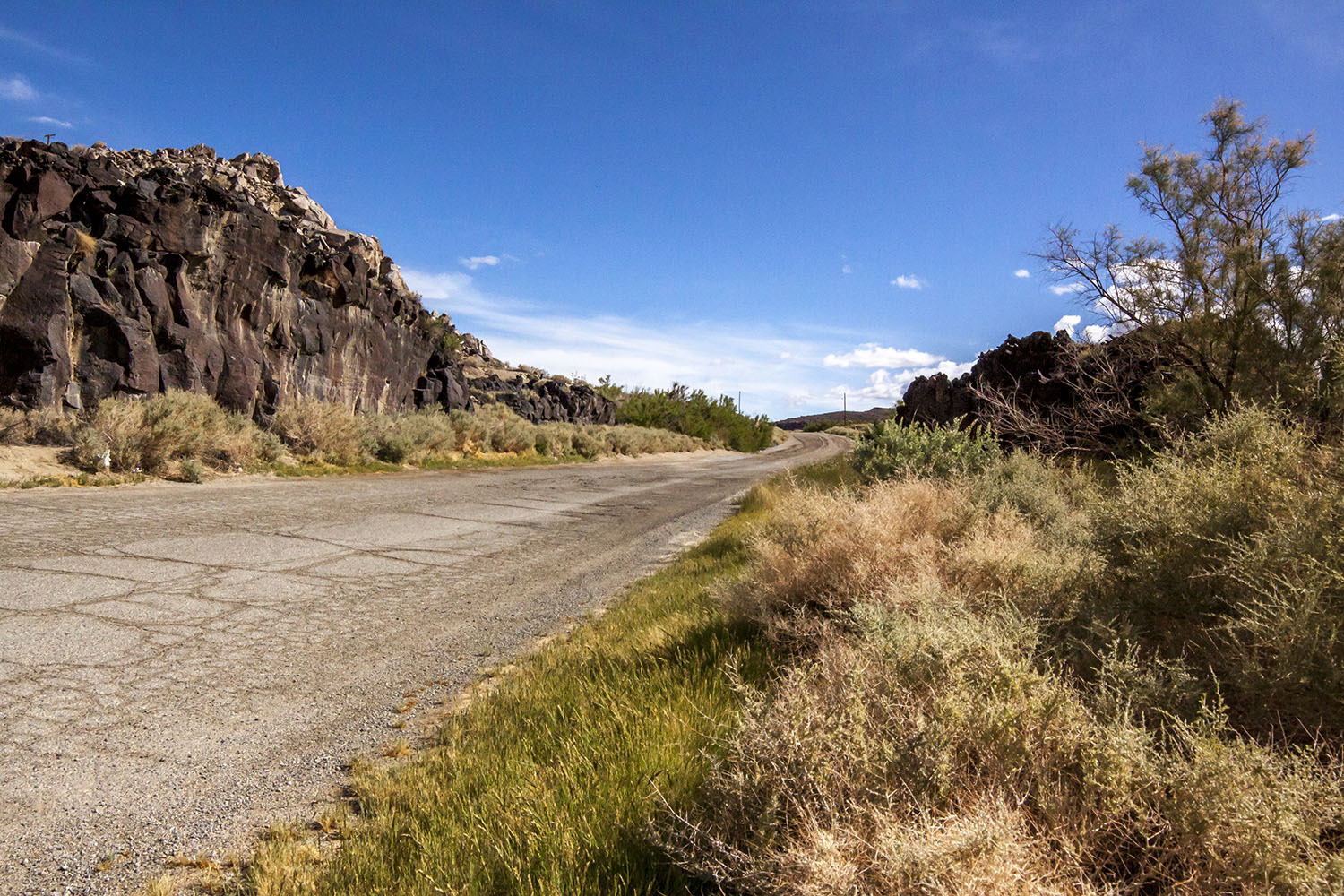 What remains of old U.S. 395 in the ghost town of Little Lake. |
 What remains of old U.S. 395 in the ghost town of Little Lake. |
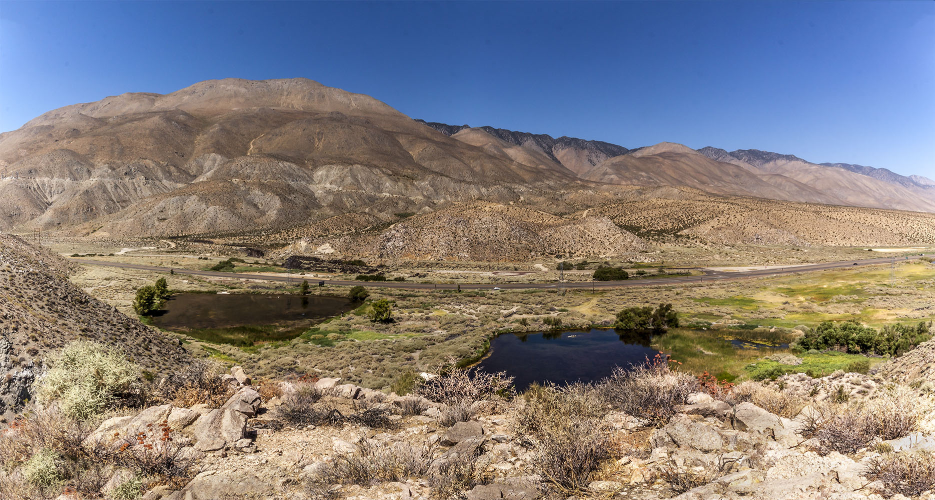
 Looking south towards the ghost town of Little Lake. |
 Looking north from hills by the ghost town of Little Lake. |
 Looking south towards the ghost town of Little Lake. |
 Old Southern Pacific RR grade south of Little Lake |
 U.S. 395 south of Little Lake |
 Old Southern Pacific RR grade heading into Little Lake |
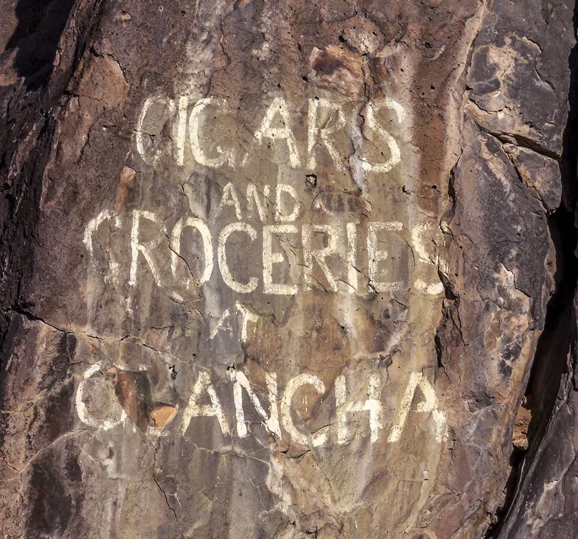 Advertisement on the lava outcrop south of Little Lake |
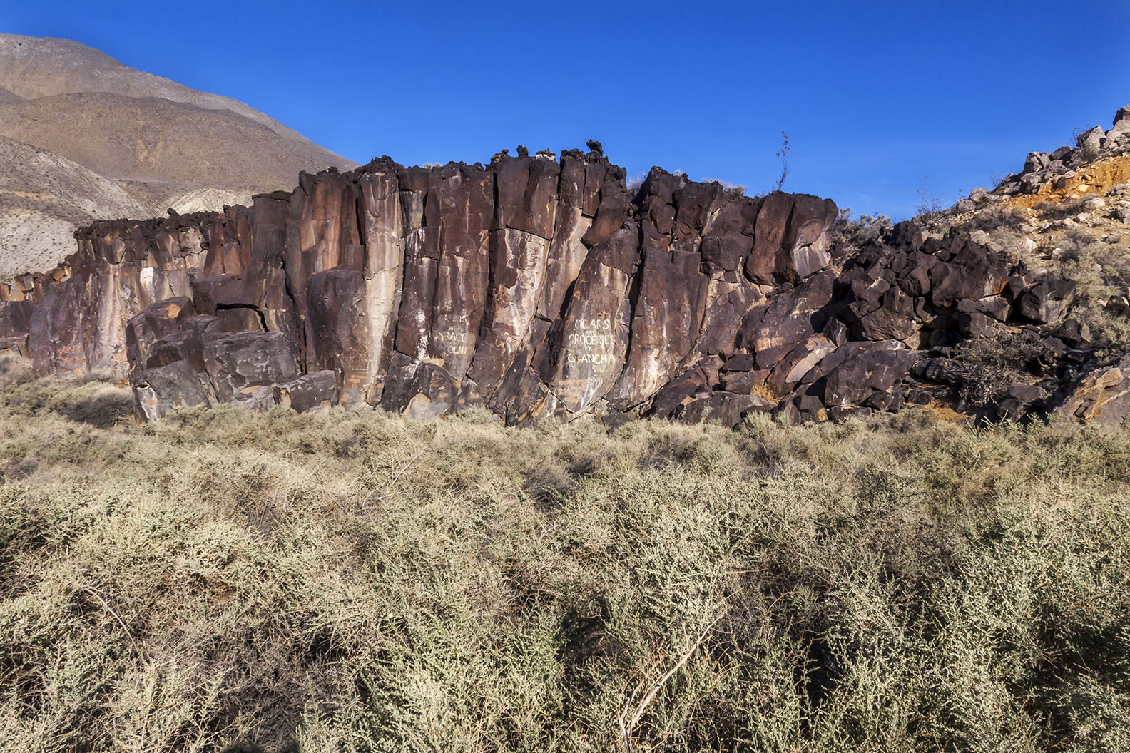 Lava outcrop just south of Little Lake off of old U.S. 395 |
  Little Lake townsite - photo taken in the hills to the east of U.S. 395 |
|
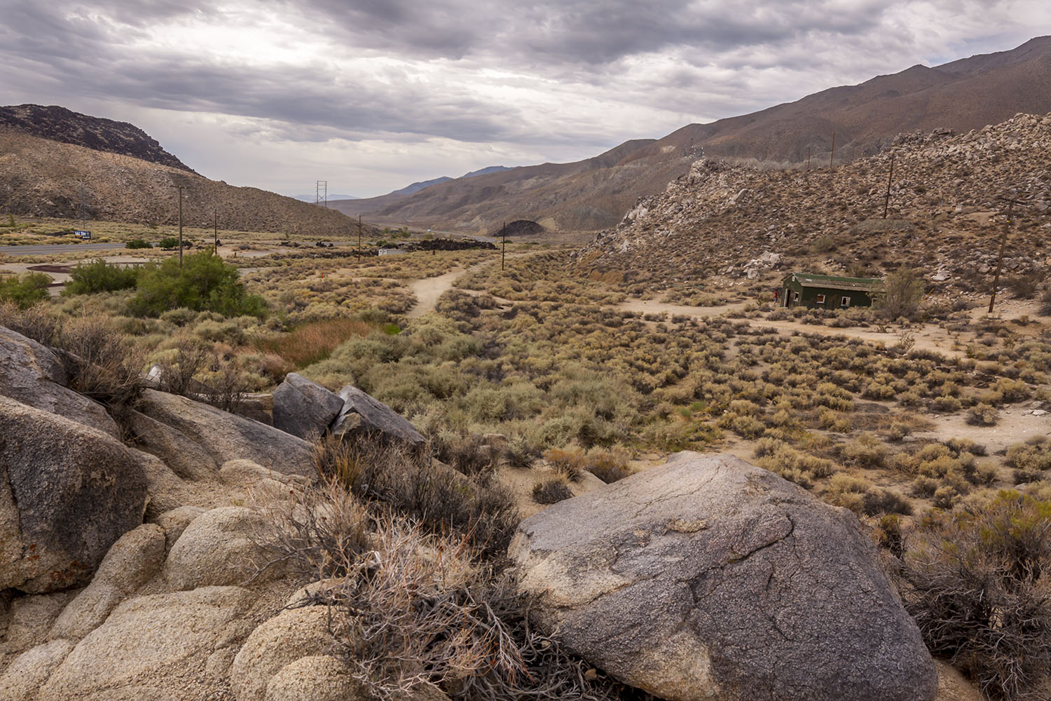
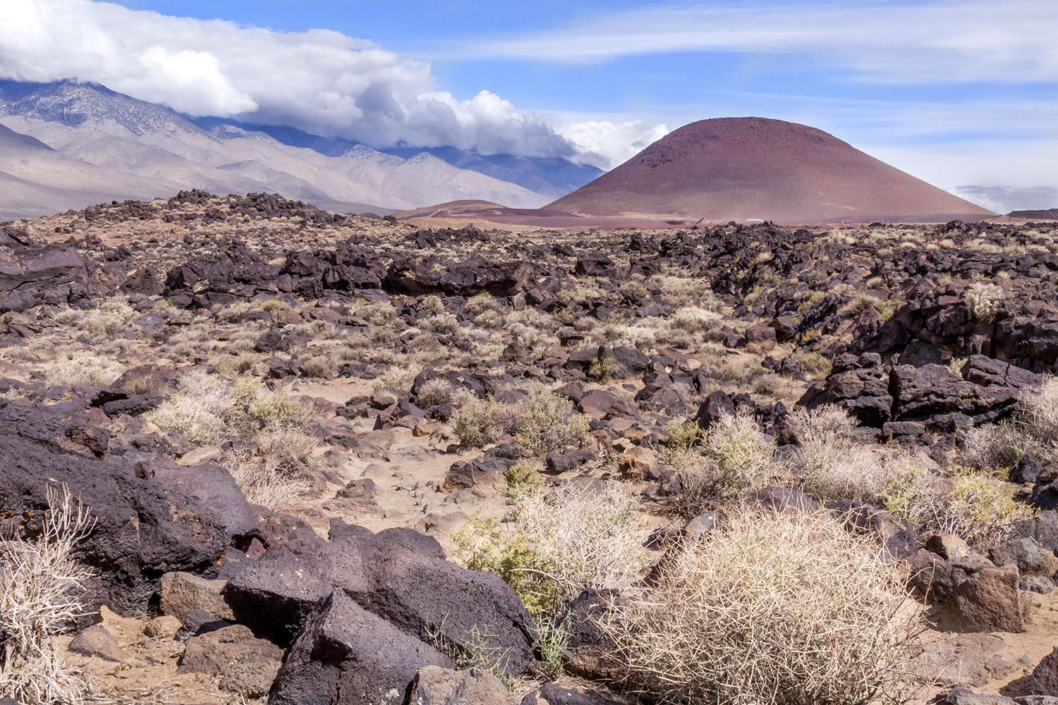
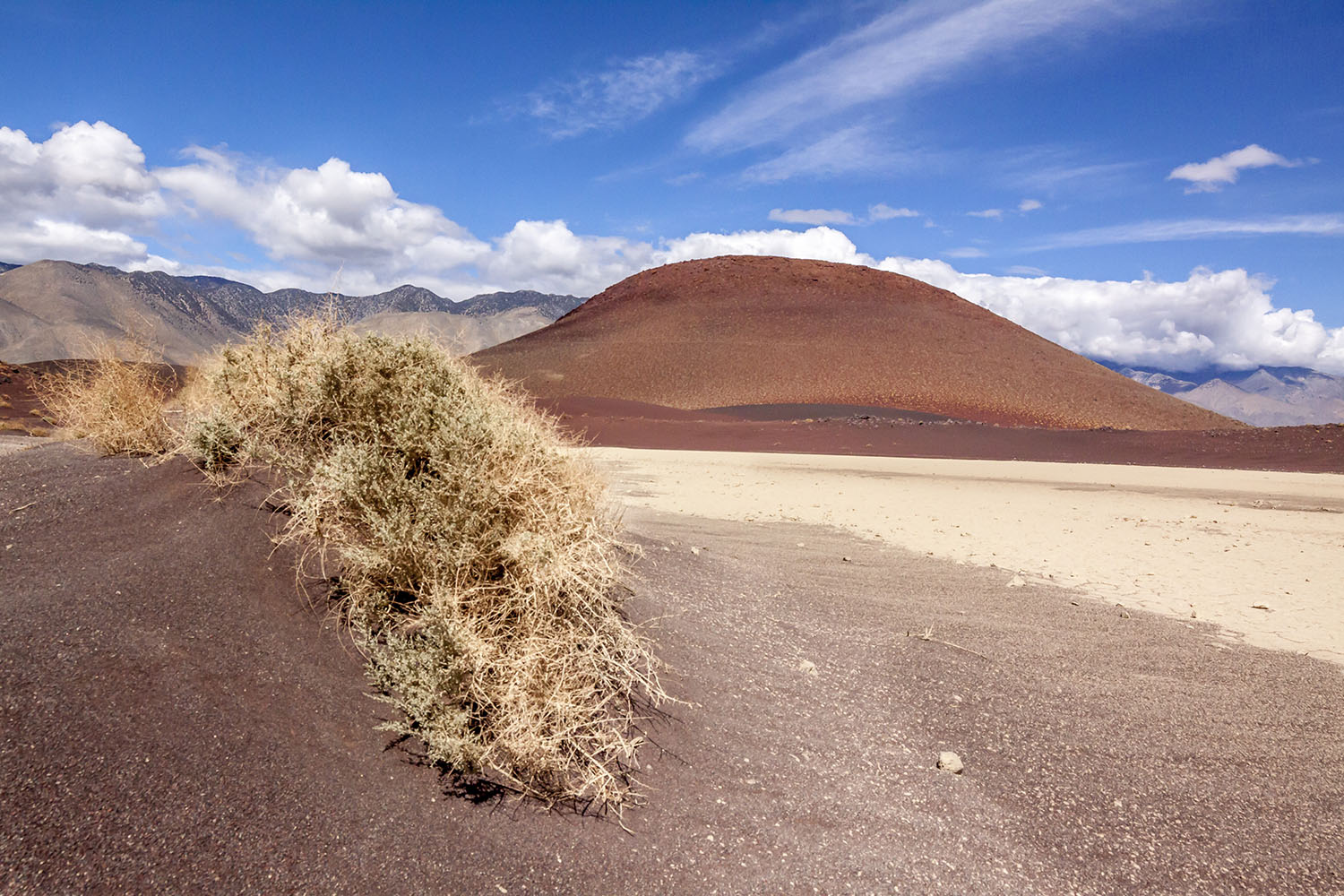
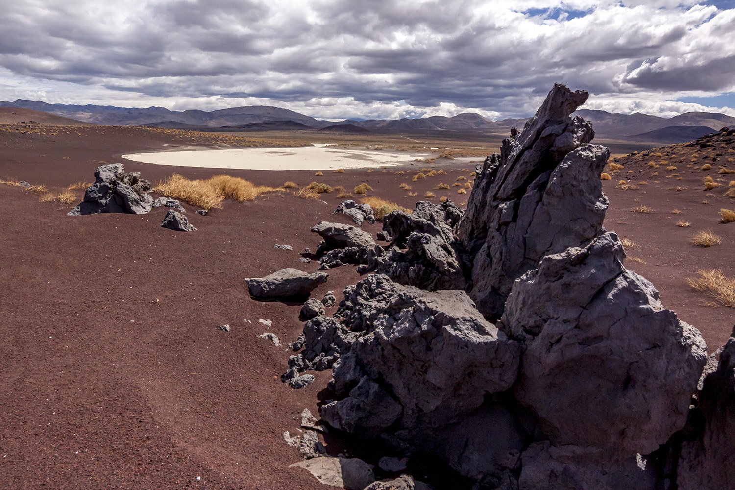
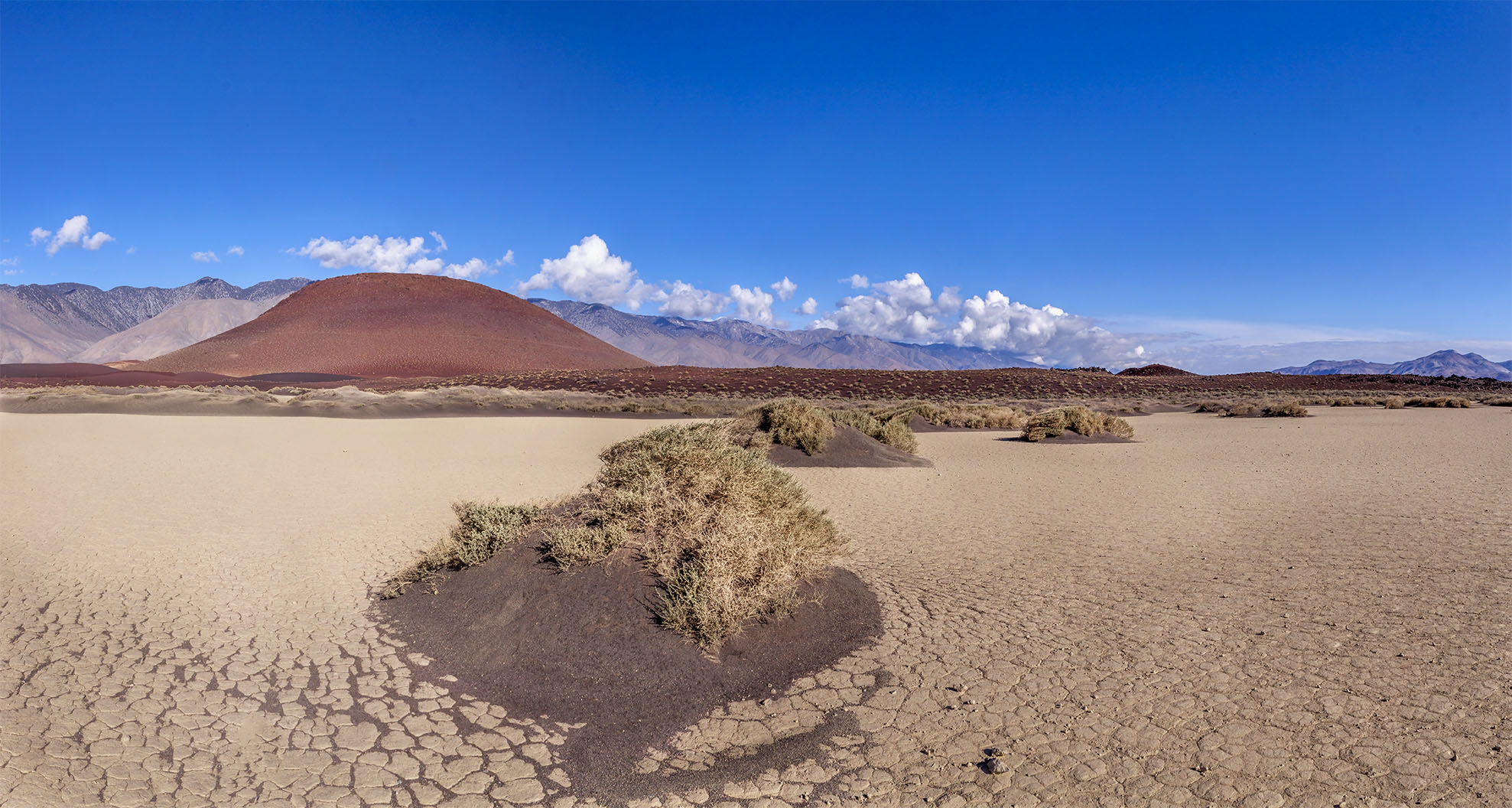
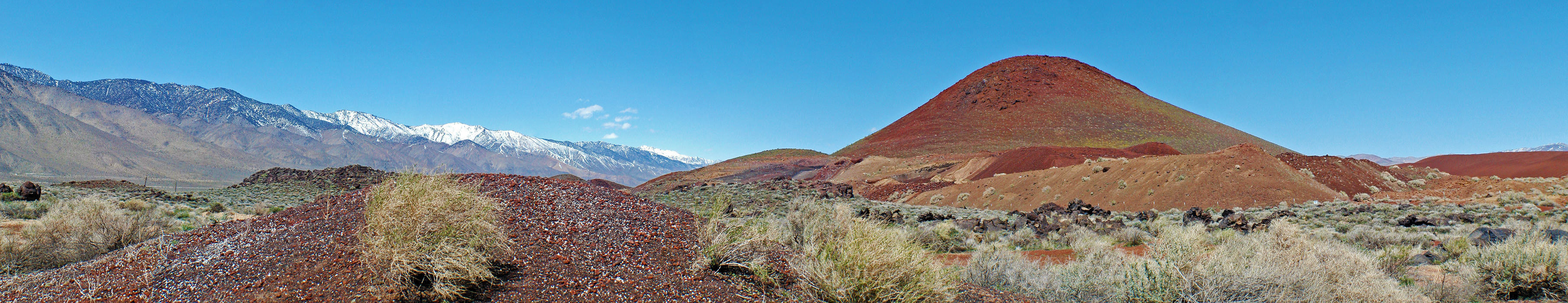 Red Cinder Cone at the southern end of Owens Valley - March 2011 |
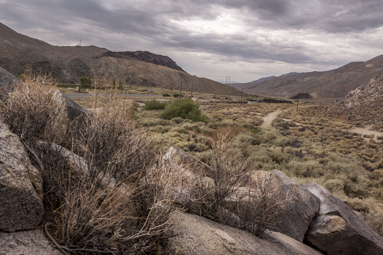
 Area to the east behind the Red Cinder Cone |
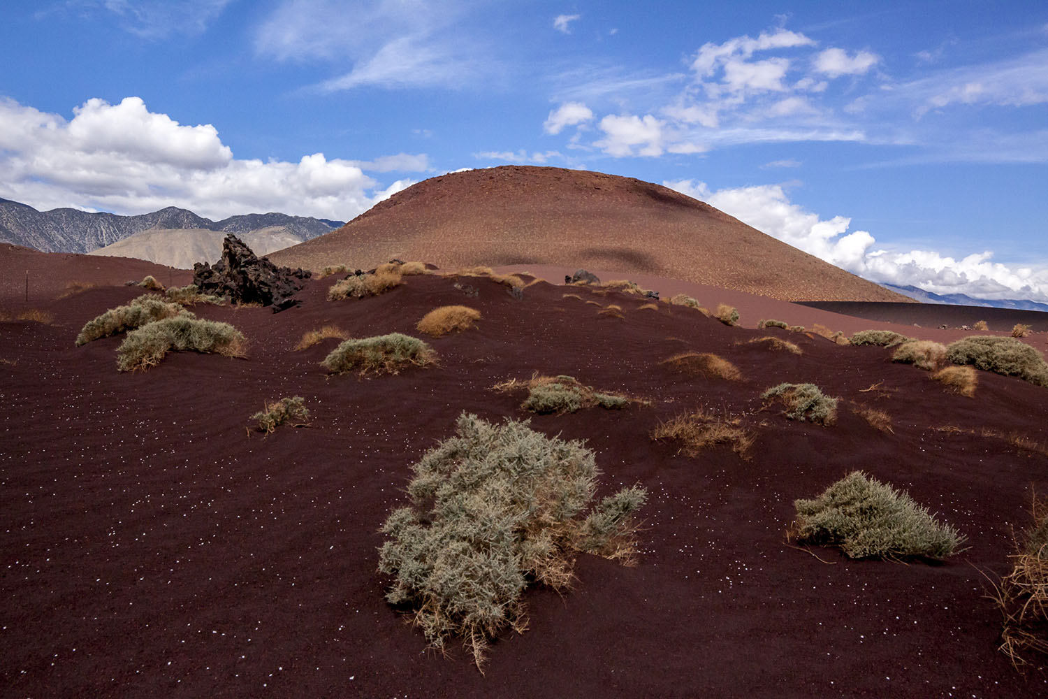 Red Cinder Cone |
 Red Cinder Cone |
 Red Cinder Cone |
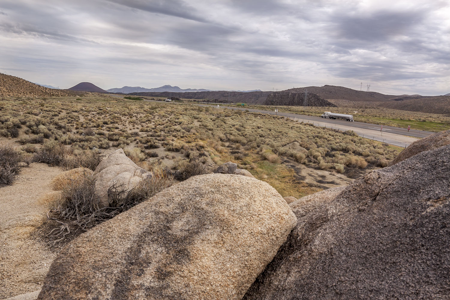
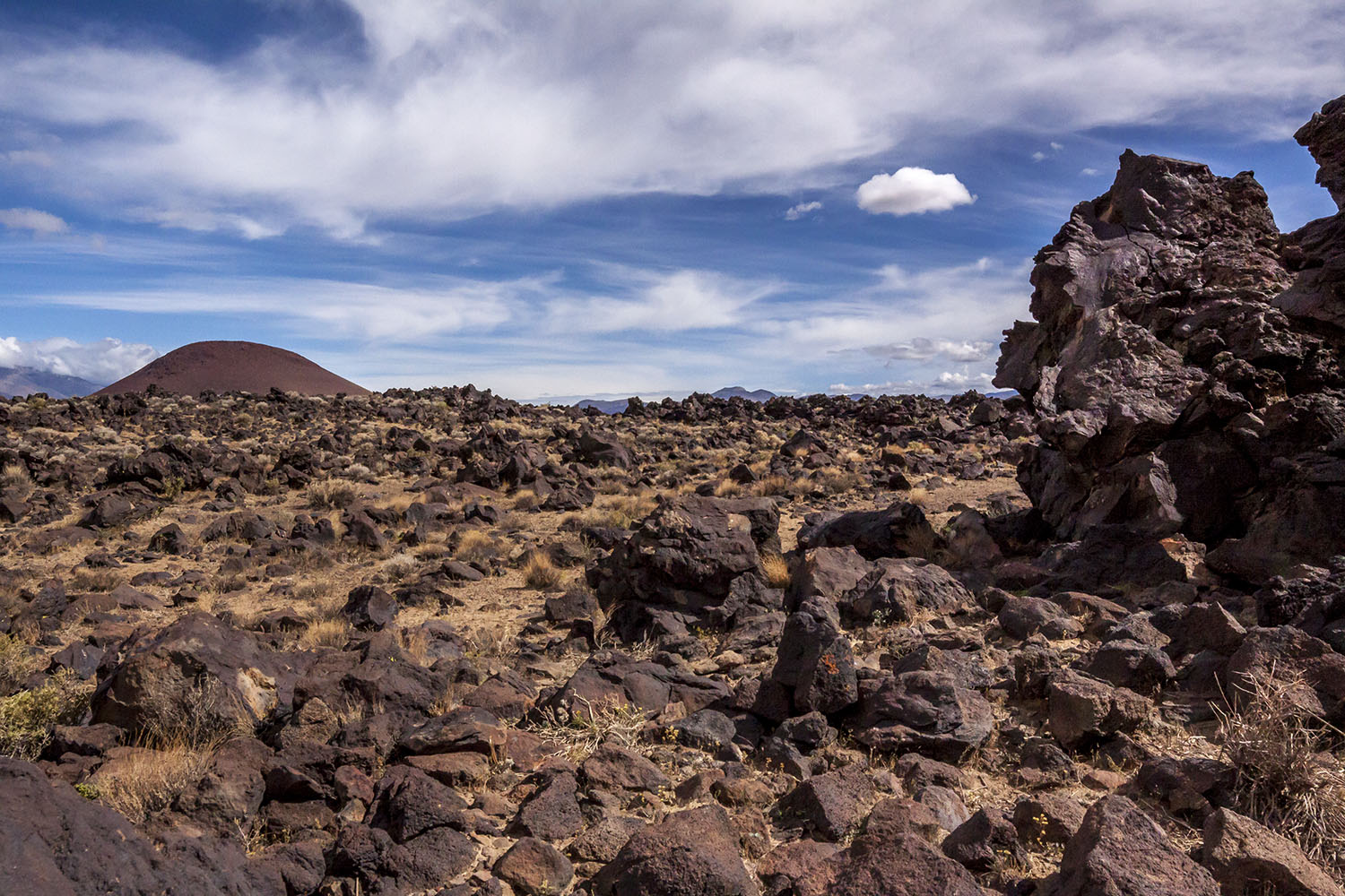
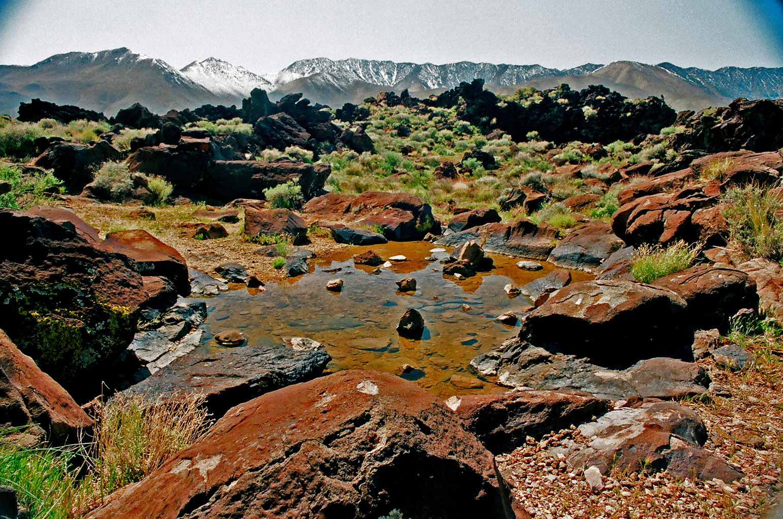
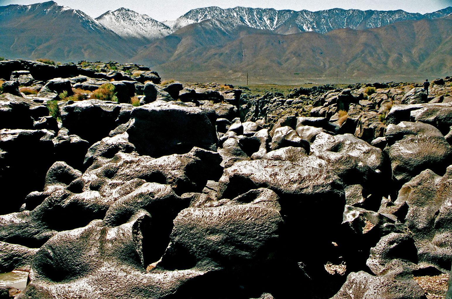
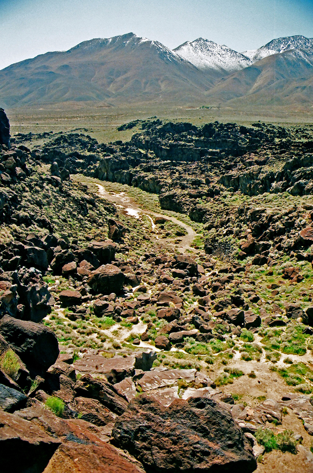
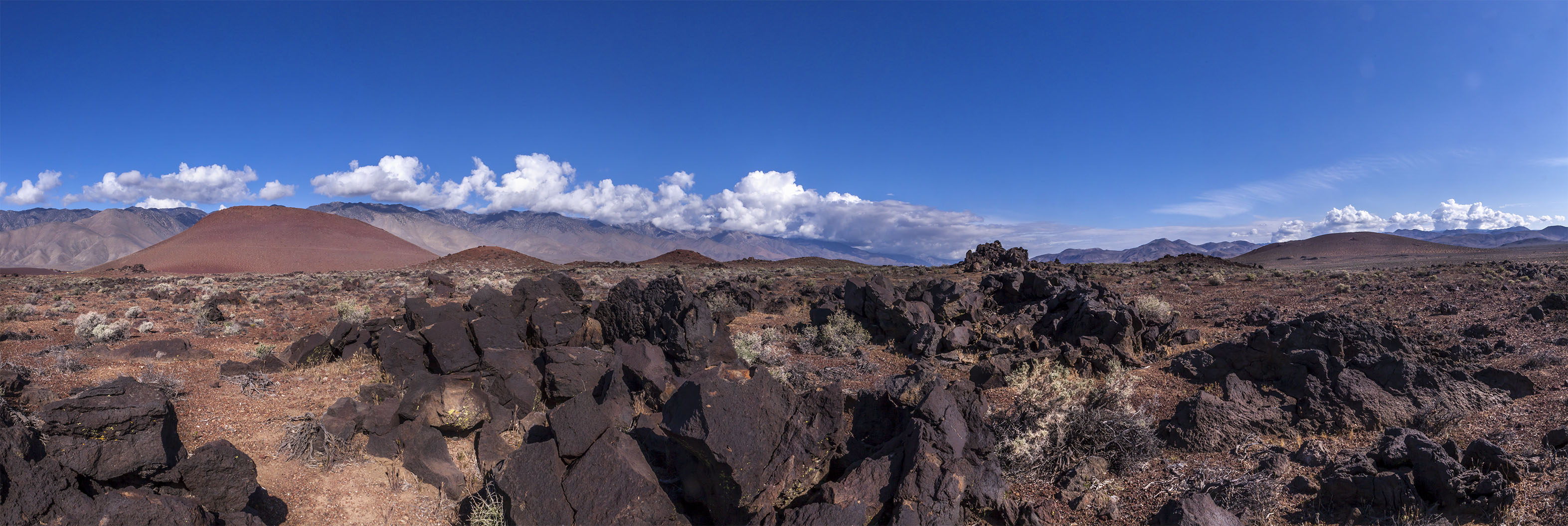
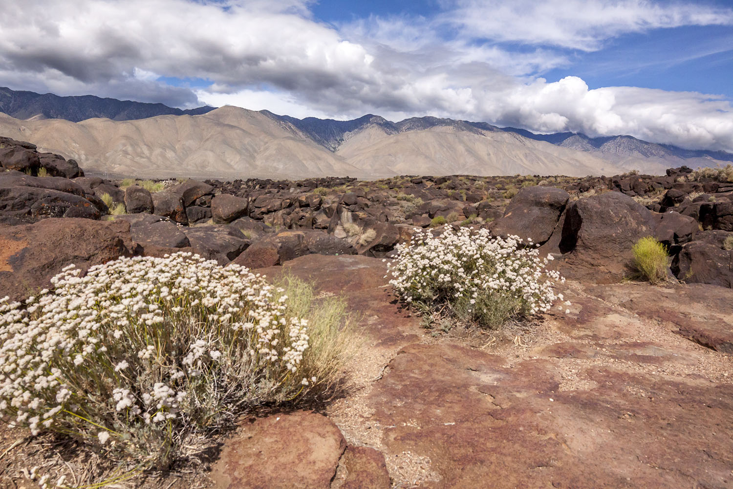 Fossil Falls Area |
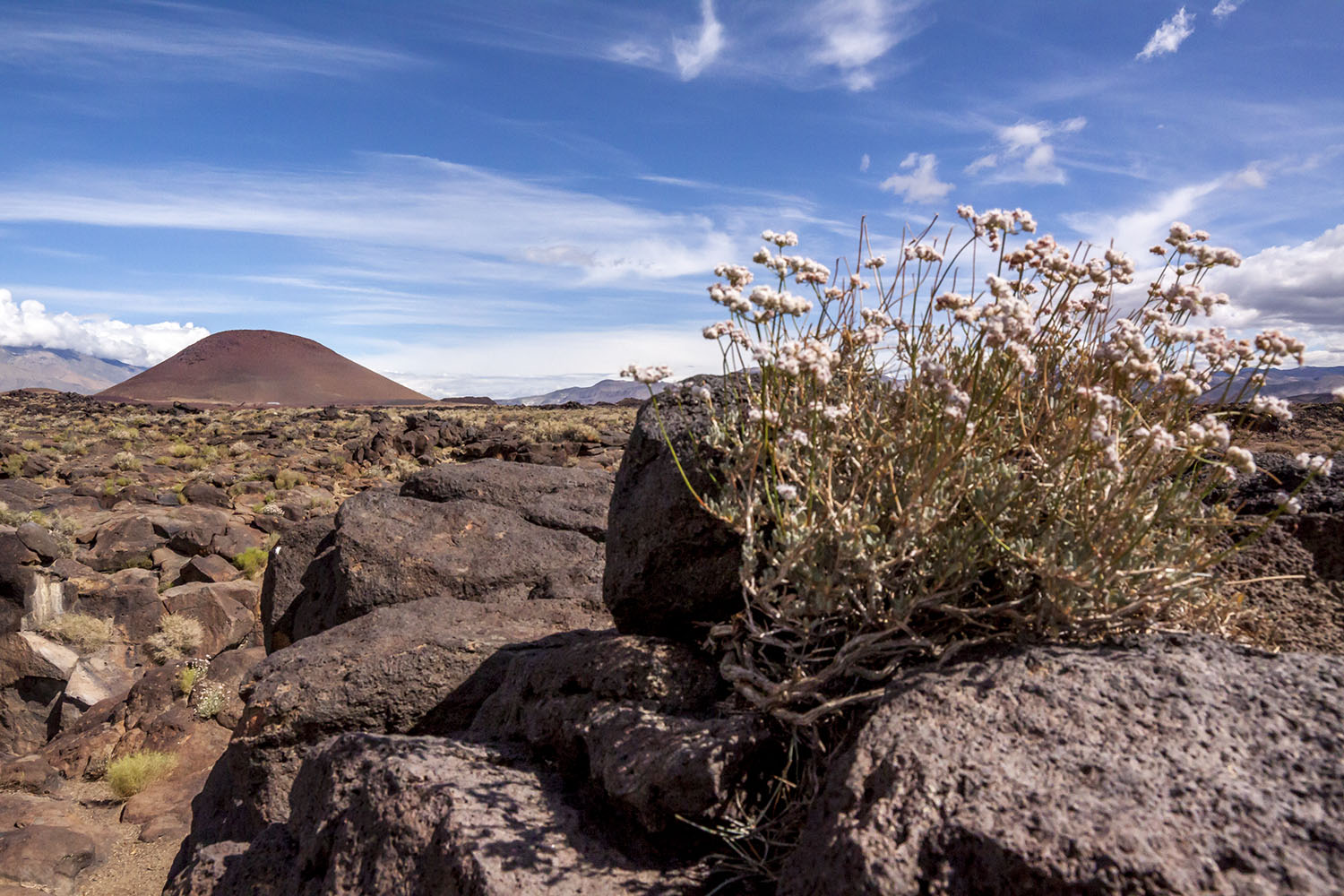 Red Cinder Cone |
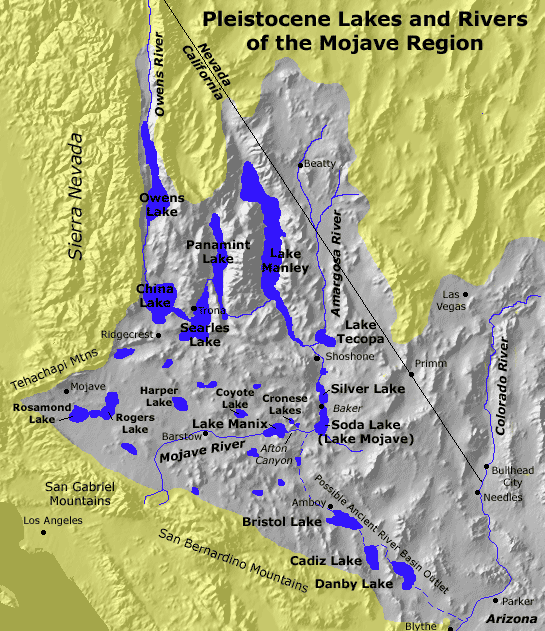
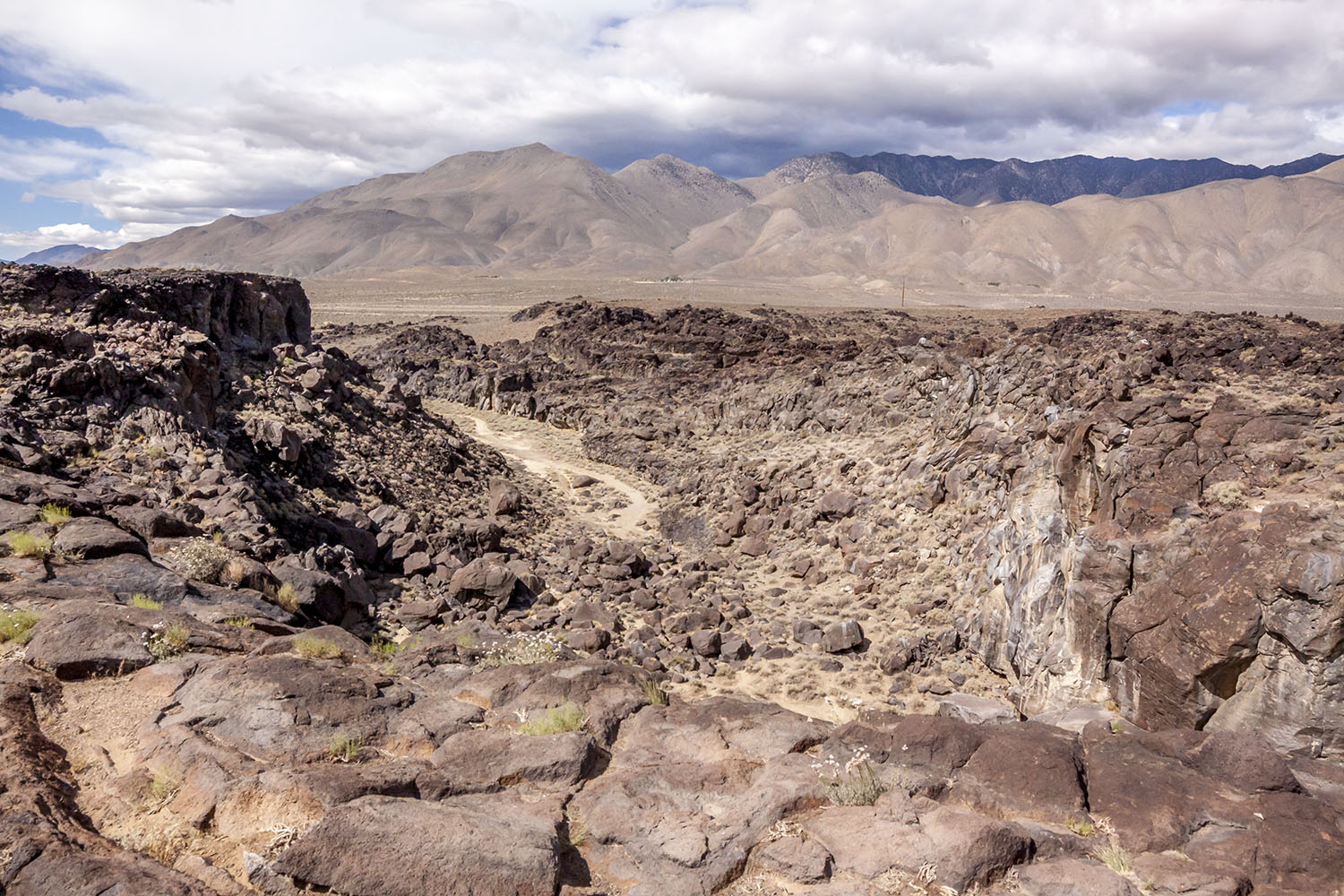 Fossil Falls area - Dry Owens River in center of picture. (Ancient drainage of Owens River from Owens Valley during the glacial period 10,000 years ago) |
 Fossil Falls area (Ancient drainage of Owens River from Owens Valley during the glacial period 10,000 years ago) |
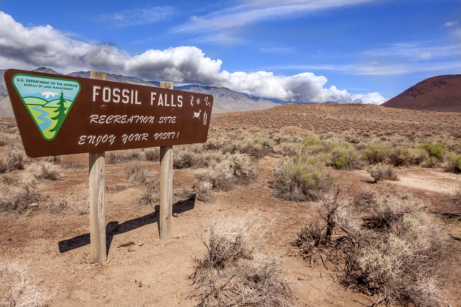 Fossil Falls road sign |
 Red Cinder Cone |
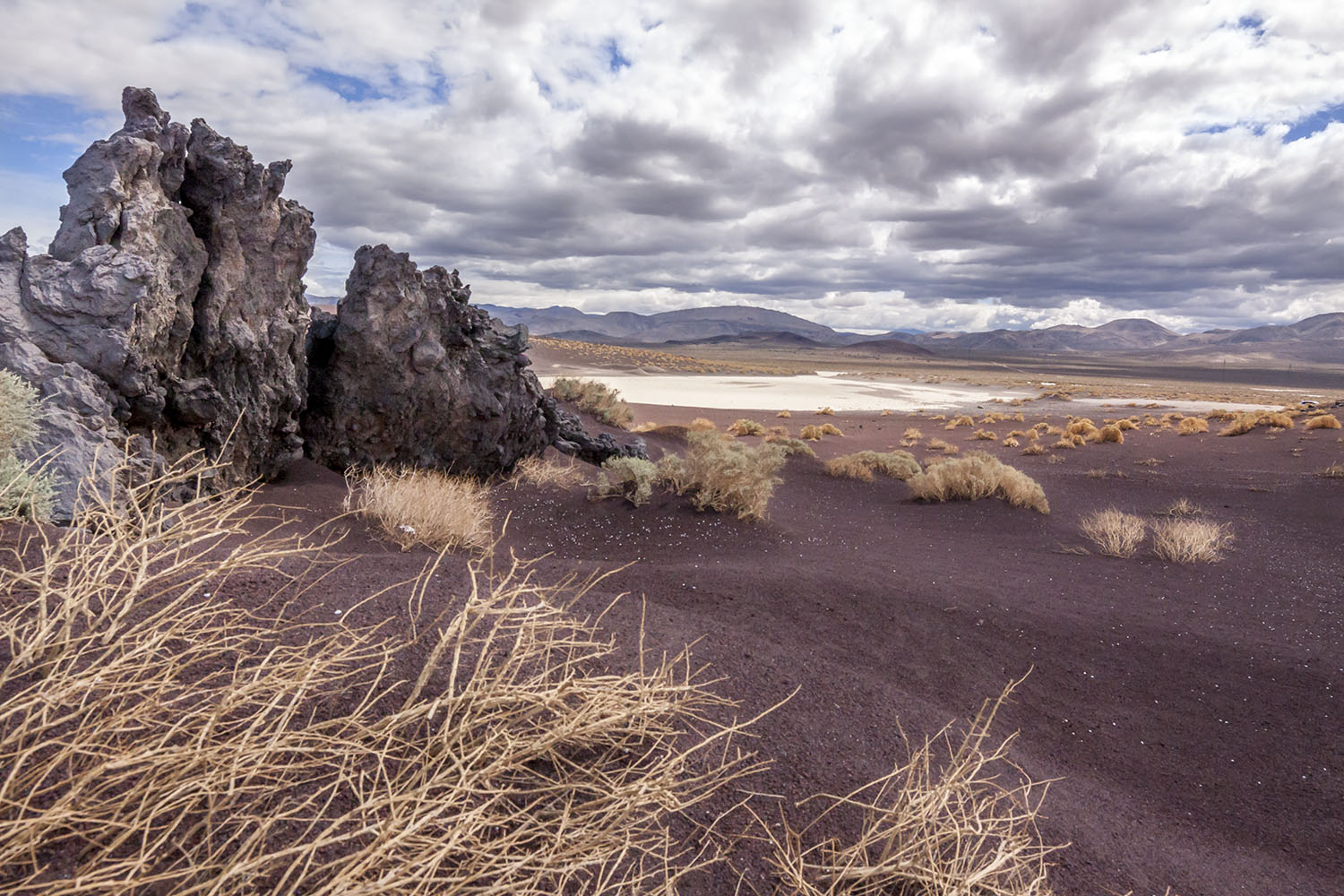 Area to the east behind the Red Cinder Cone |
 Area to the east behind the Red Cinder Cone |
 Fossil Falls area (Ancient drainage of Owens River from Owens Valley during the glacial period 10,000 years ago) |
 Fossil Falls area (Ancient drainage of Owens River from Owens Valley during the glacial period 10,000 years ago) |
 Fossil Falls area (Ancient drainage of Owens River from Owens Valley during the glacial period 10,000 years ago) |
|
 Red Cinder Cone at the southern end of Owens Valley - May 2016 |
|
 Red Cinder Cone at the southern end of Owens Valley - May 2016 |
|

 View to the east at the Coso Mountains from the remains of Sam Lewis' "High Lonesome Ranch." |
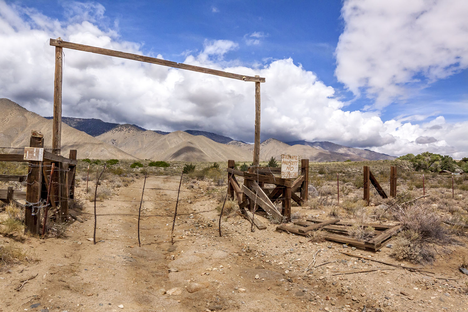 Entrance to the remains of Sam Lewis' "High Lonesome Ranch" |

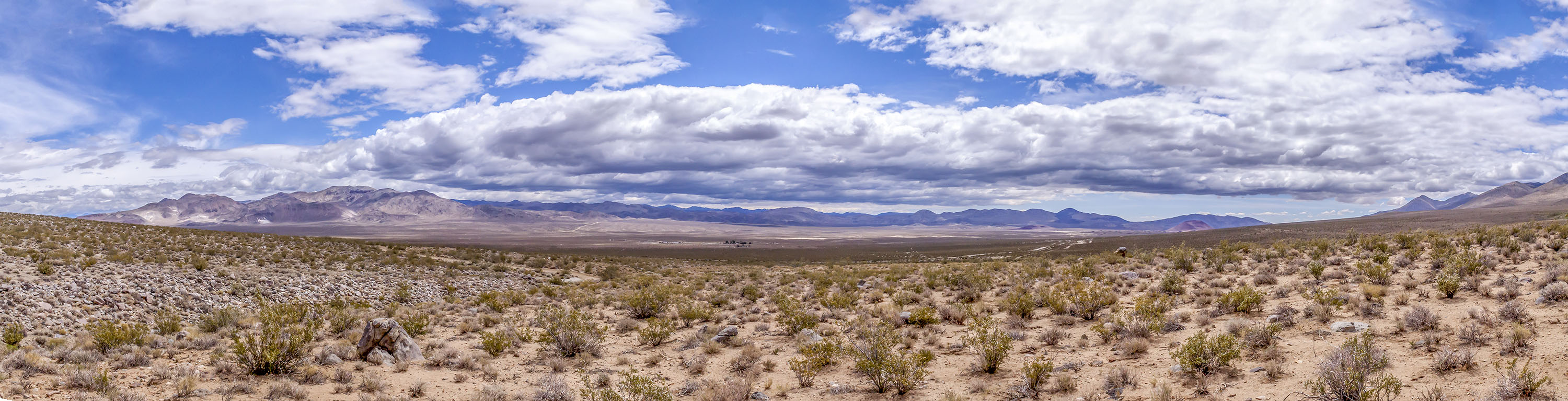
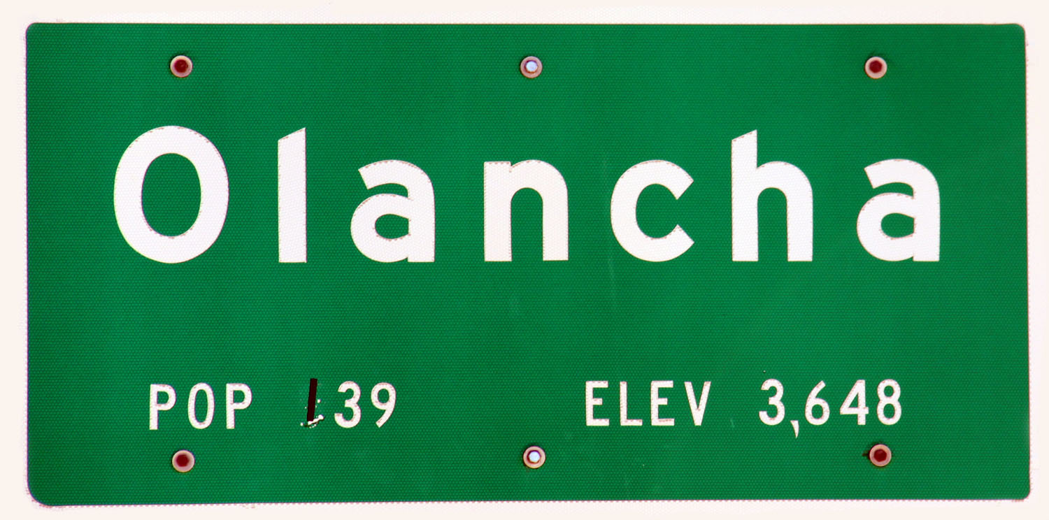
 Panorama of Olancha Peak, Olancha Pass and the Sage Flat Area |
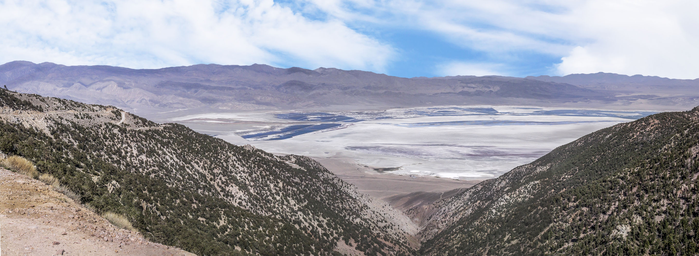
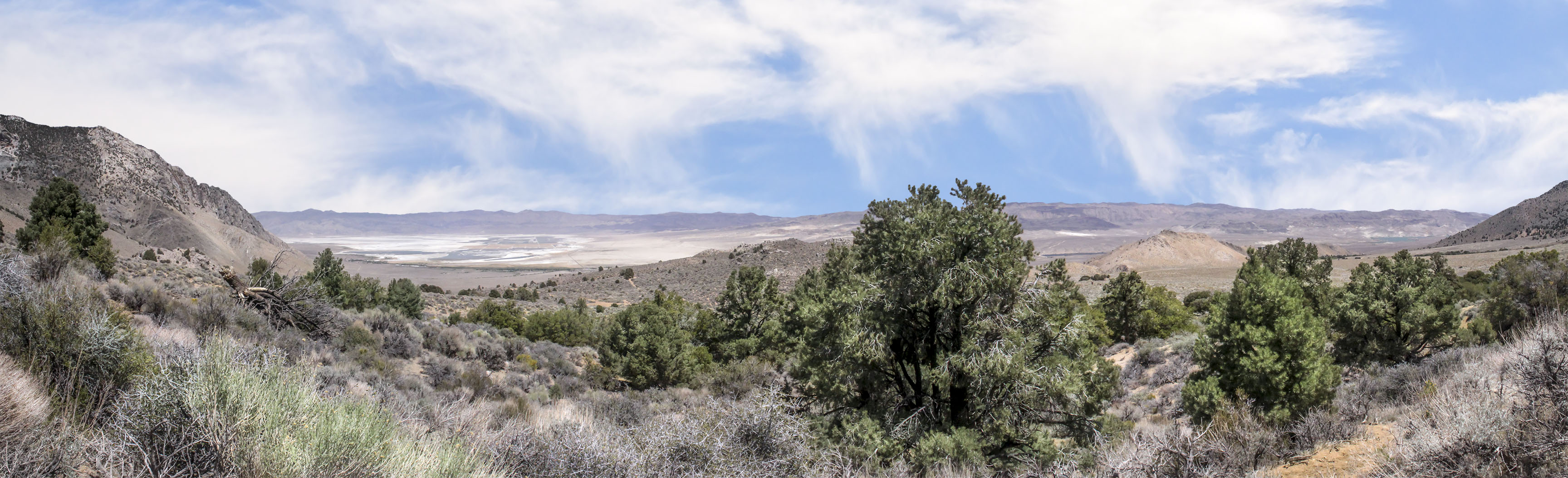 Panorama of the southern end of Owens Lake from the Olancha Pass trail |
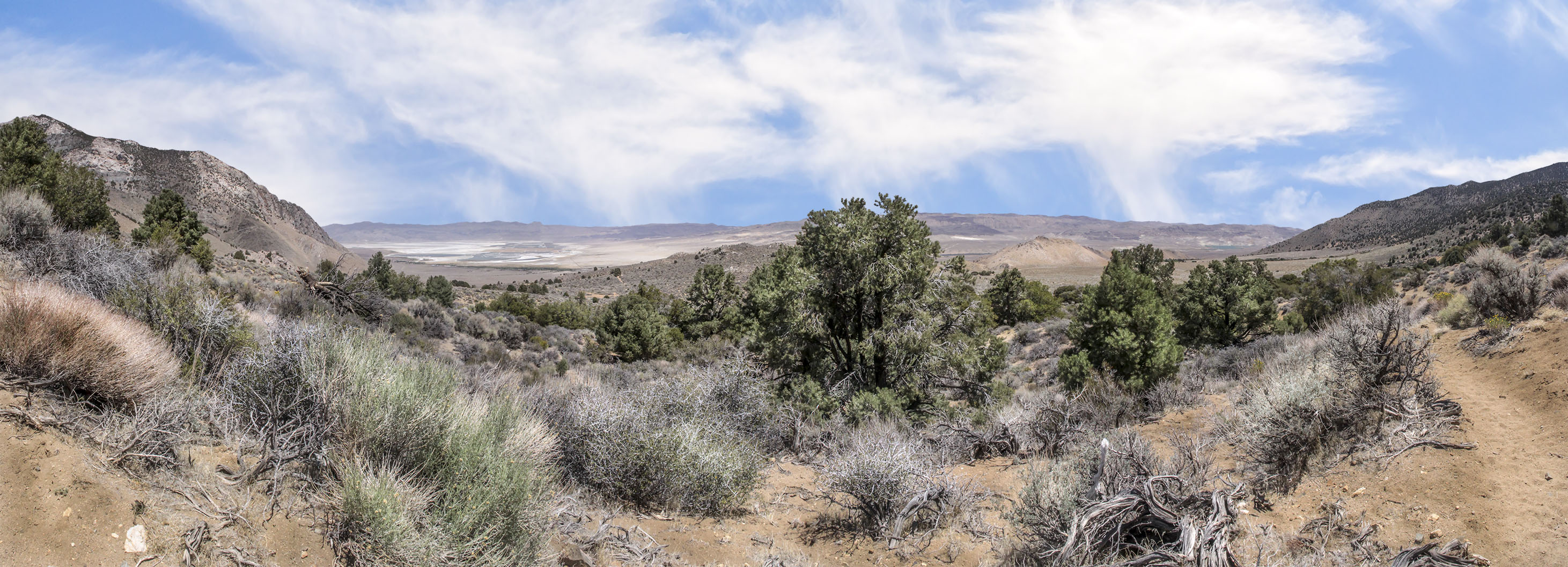 Panorama of the southern end of Owens Lake from the Olancha Pass trail |
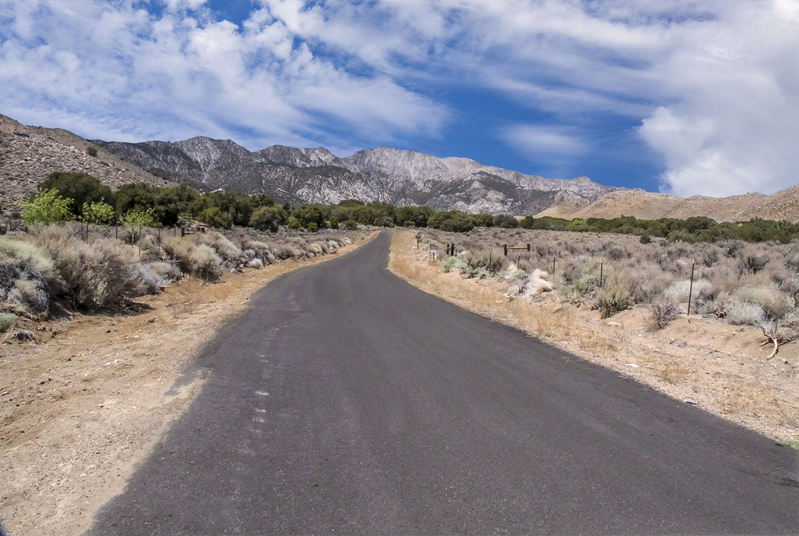 The Road to Sage Flat |
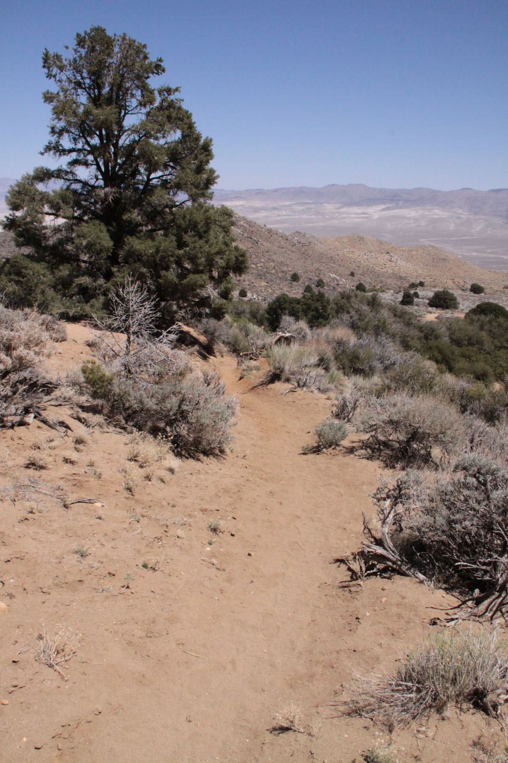 Olancha Pass trail |
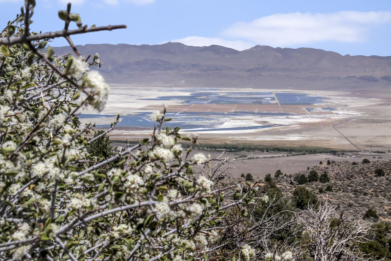 Owens Lake from the Olancha Pass trail |
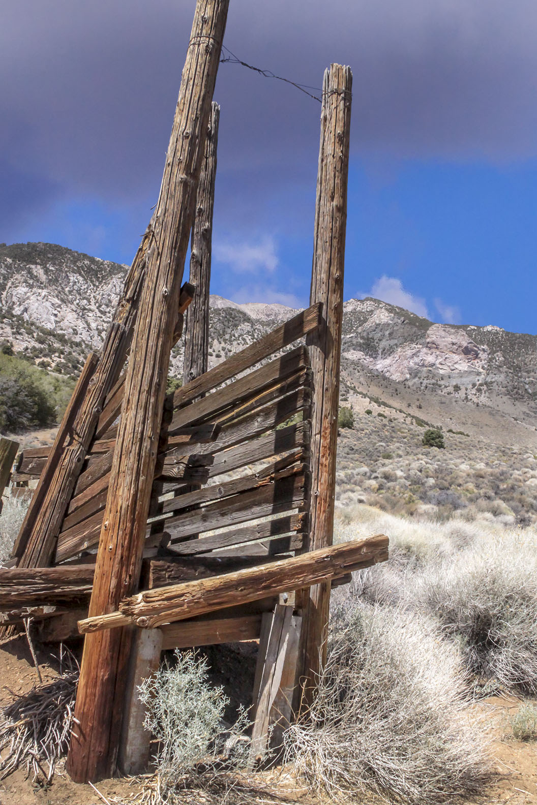 Stock loading ramp at Sage Flat roadend |
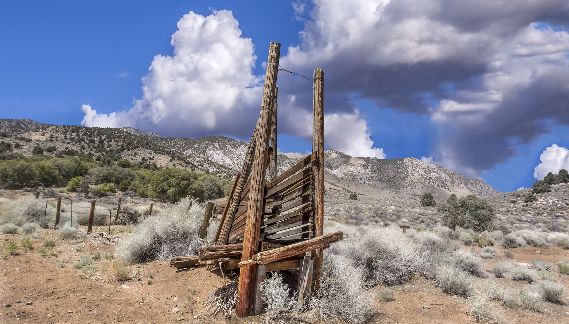 Stock loading ramp at Sage Flat roadend |
||
![]()
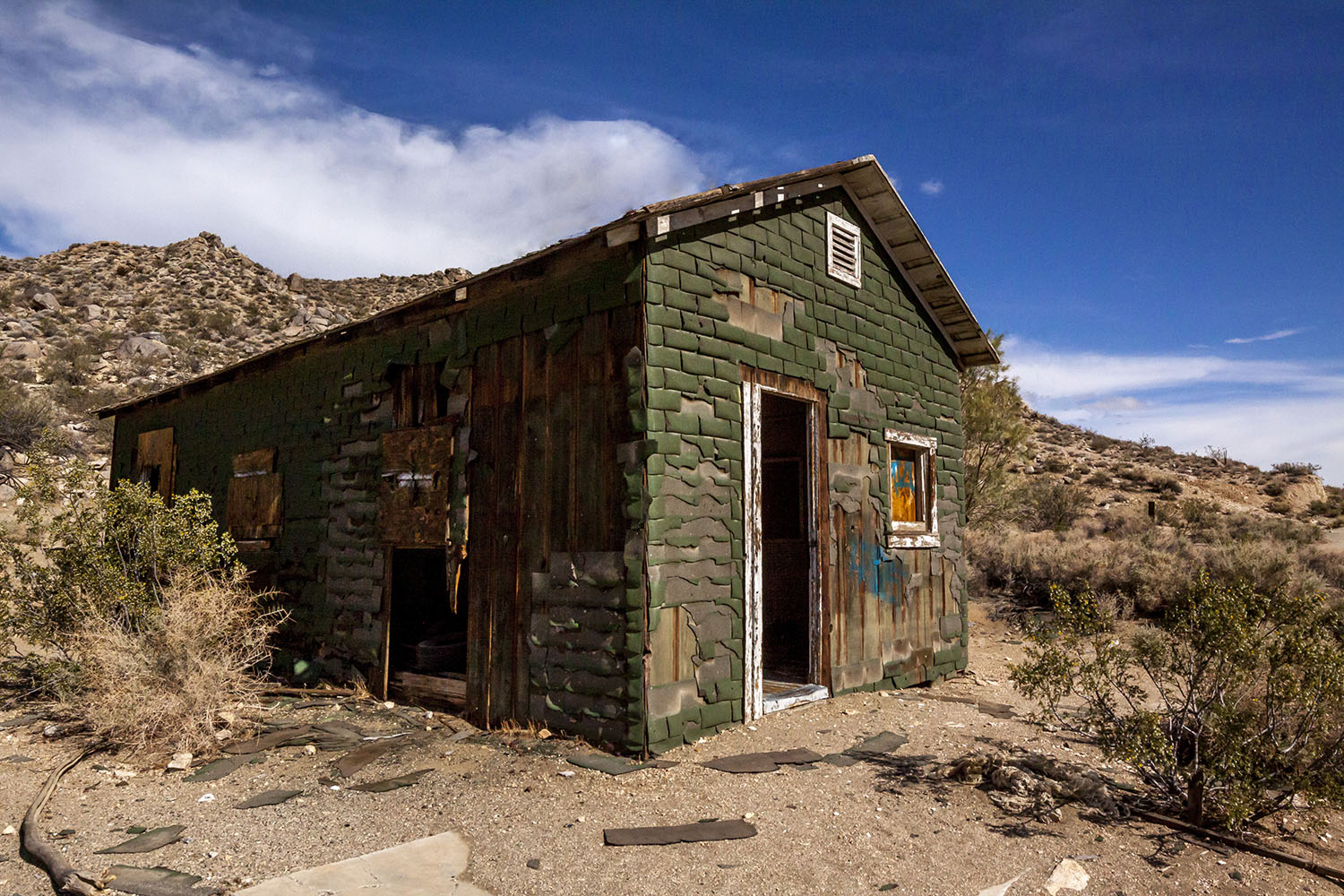
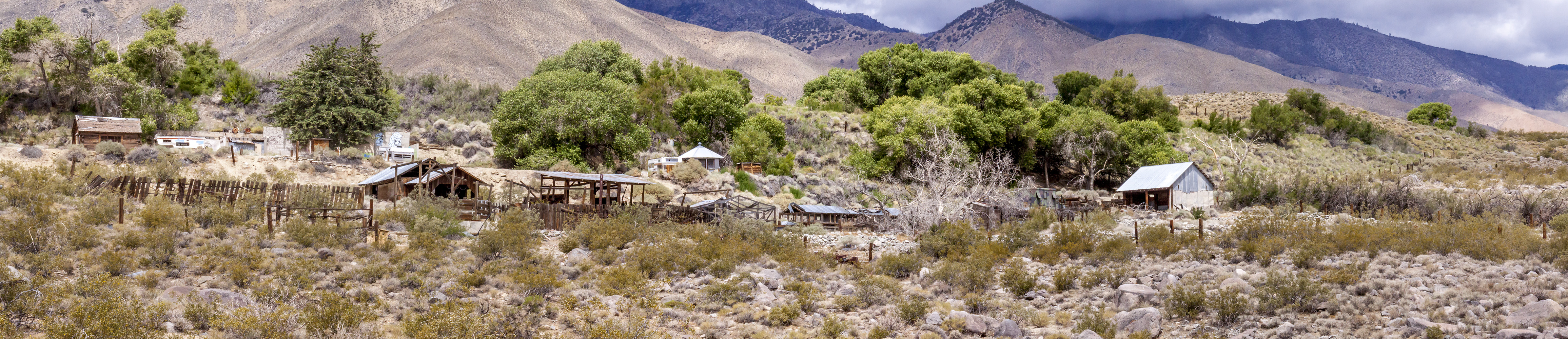
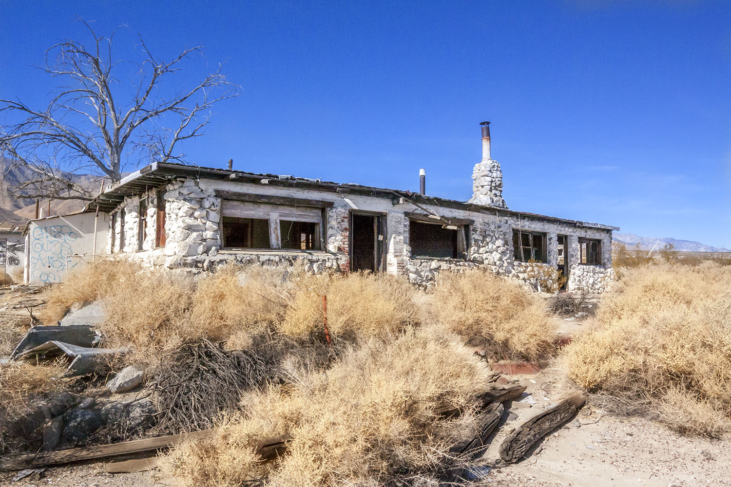
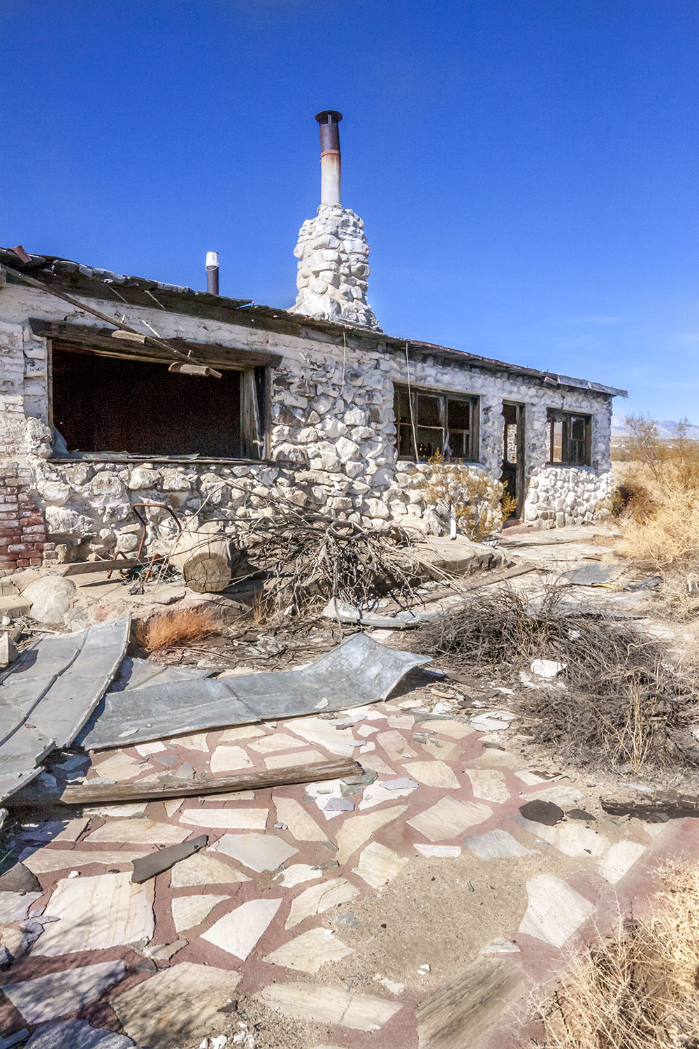 Dunmovin, CA. ruins - Between Coso Junction and Olancha |
|
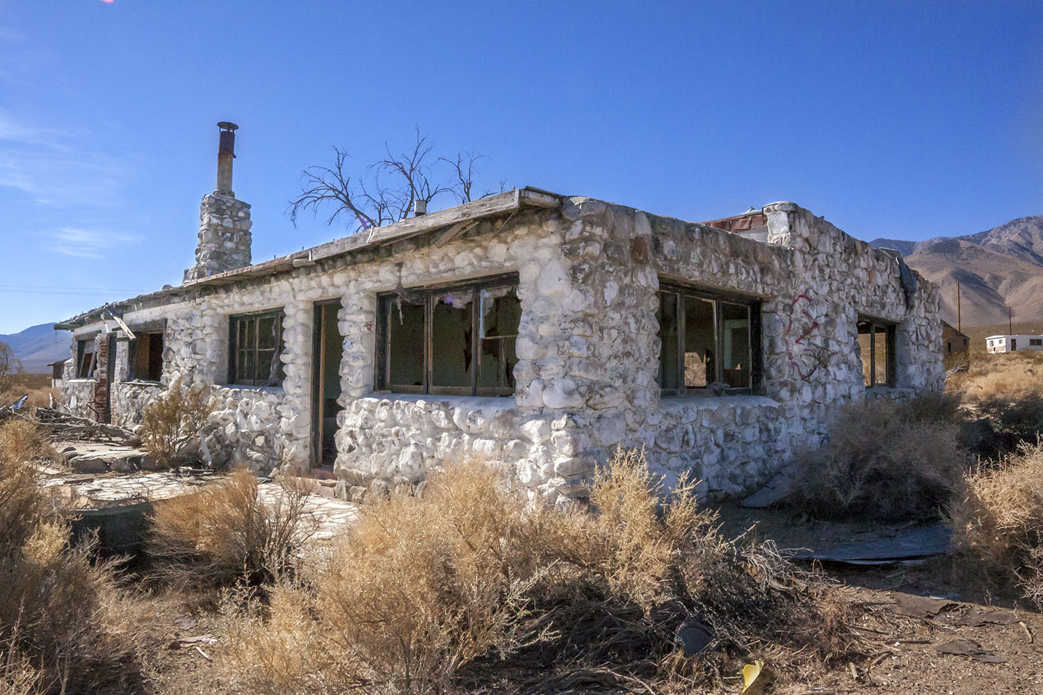
 Dunmovin, CA. ruins - Between Coso Junction and Olancha |
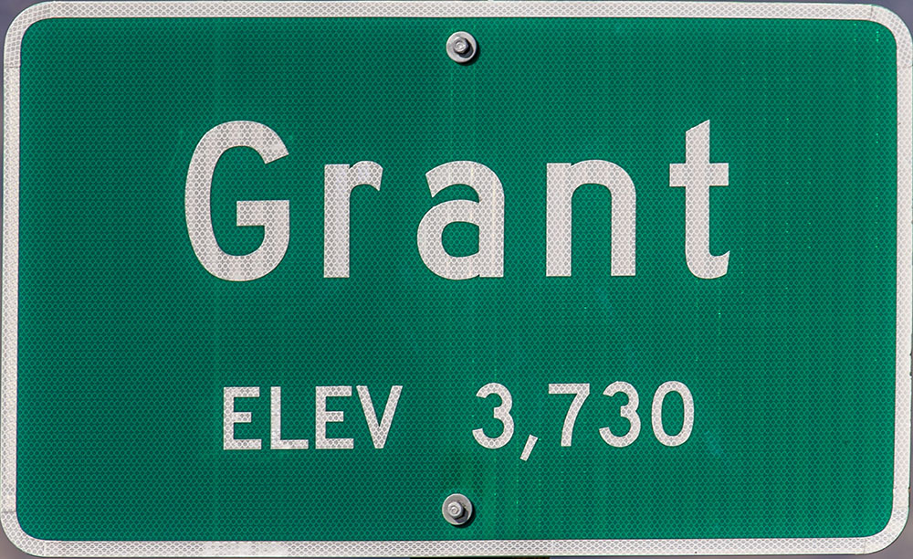
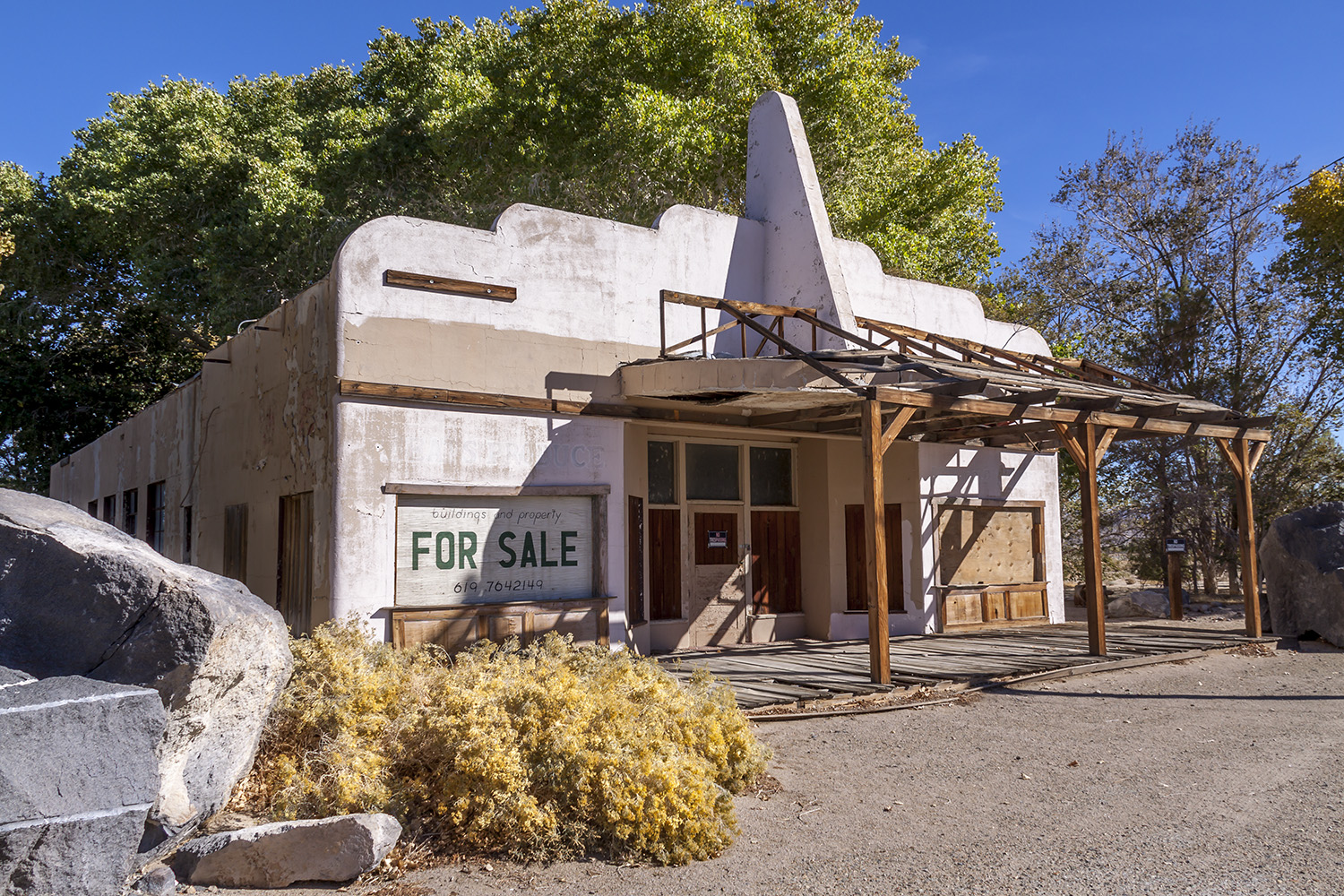 Abandoned building in Grant, CA. in Owens Valley. The 1961 Twilight Zone Episode 23, Season 2, "A Hundred Yards Over the Rim" was filmed using this building. |
 |

 |
|
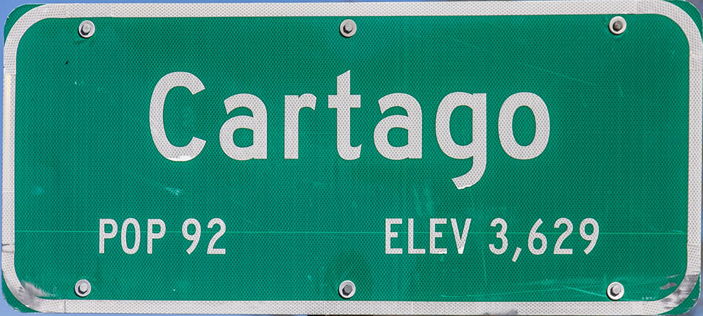
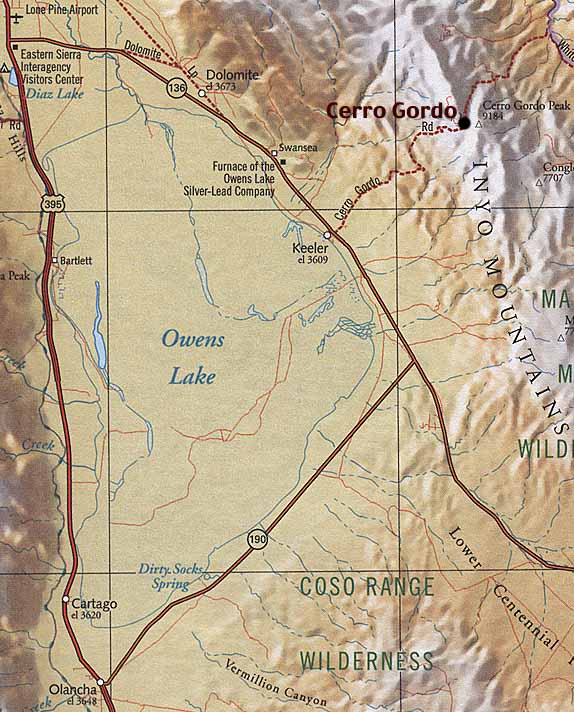
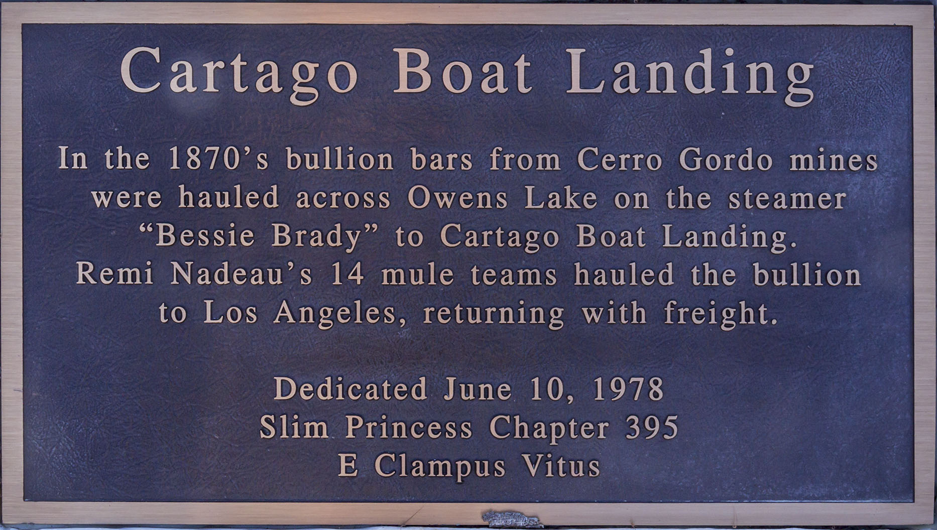 Bessie Brady and Molly Stevens boat landing in Cartago. The two boats hauled silver bullion across Owens Lake from the Cerro Gordo smelters at Keeler. |
|
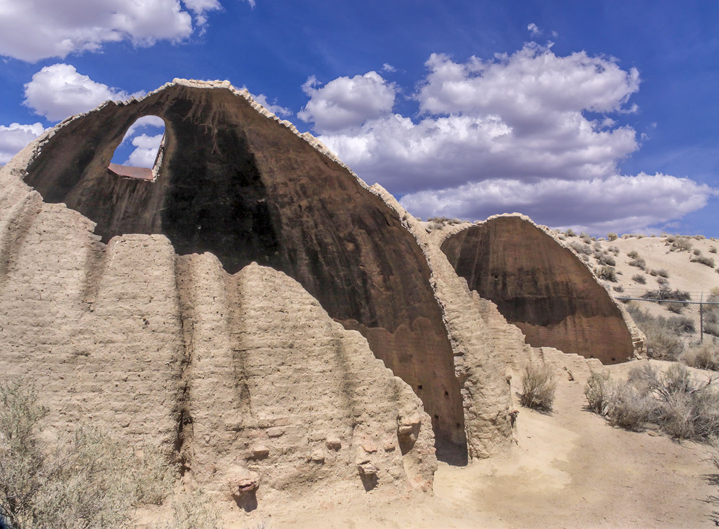 Cottonwood Charcoal Kilns |
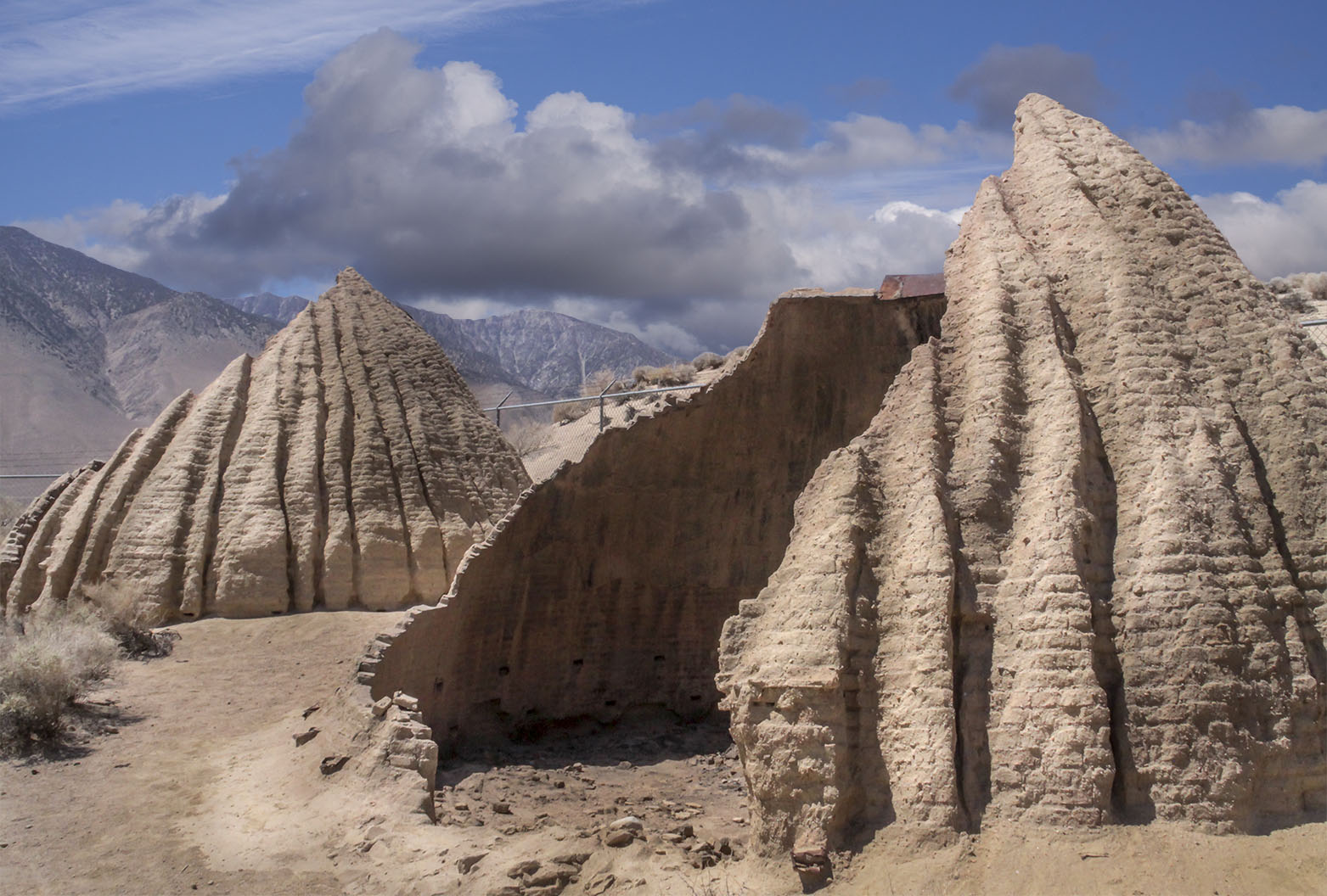 Cottonwood Charcoal Kilns |
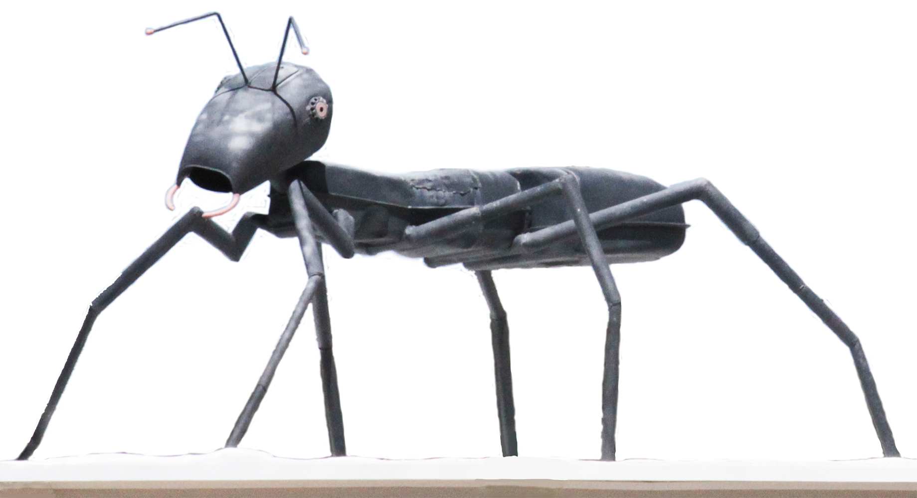 Metal ant on house in Cartago |
|
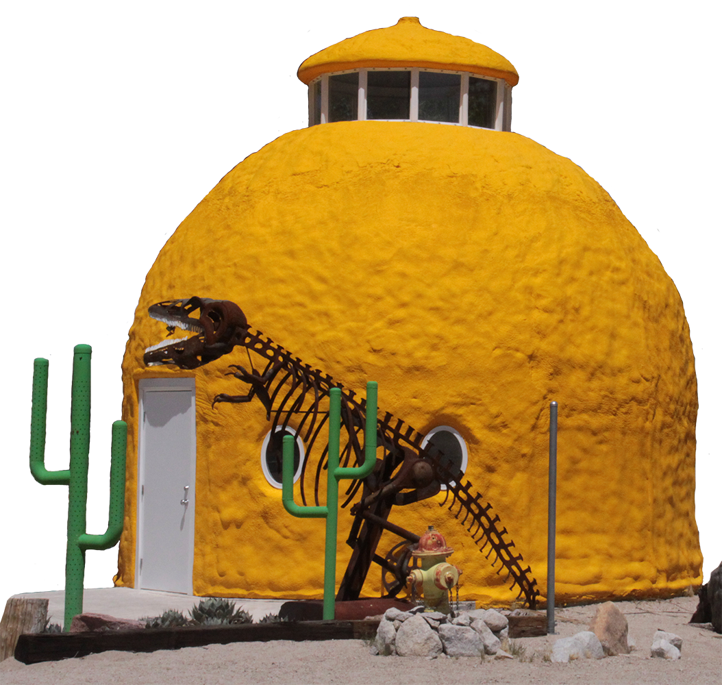
Cabin Bar Cafe - Then ... and ... Now |
|
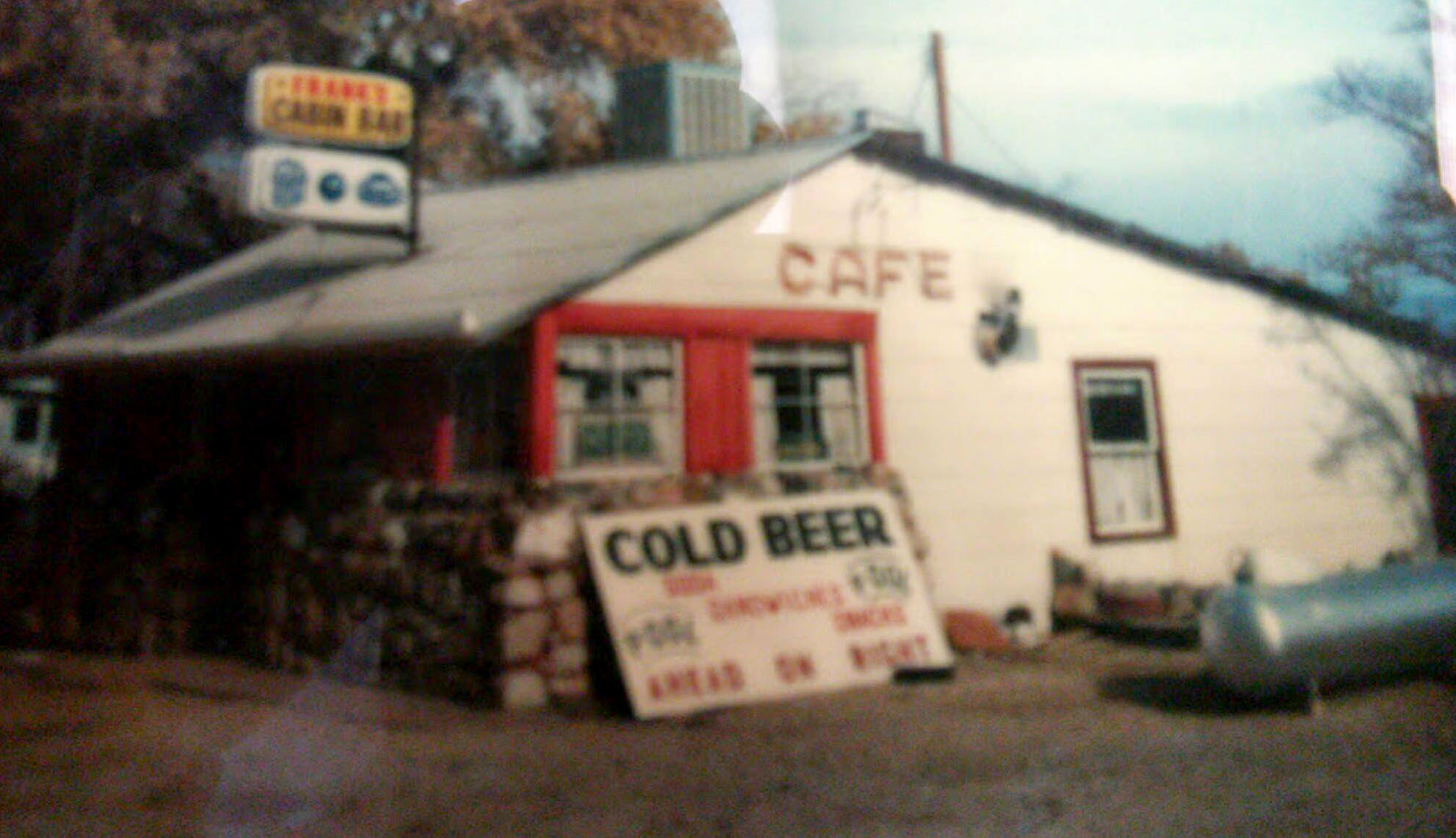 Photo courtesy of Lawrence Thomas |
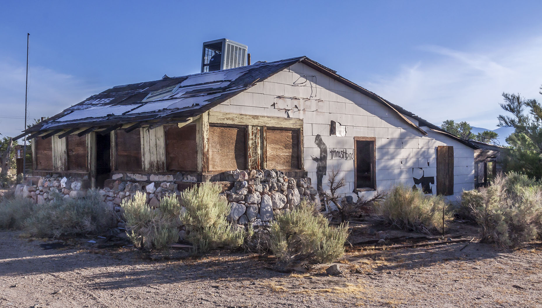 |
Phil Rosenberg writes: Bob Schwandt, my Dad and I played a lot of bluegrass music at that place in the 70's. |
|
 |
![]()
 |
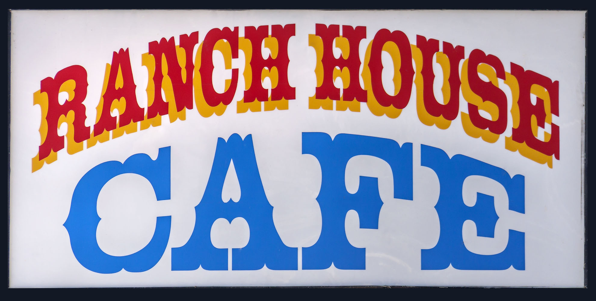 |
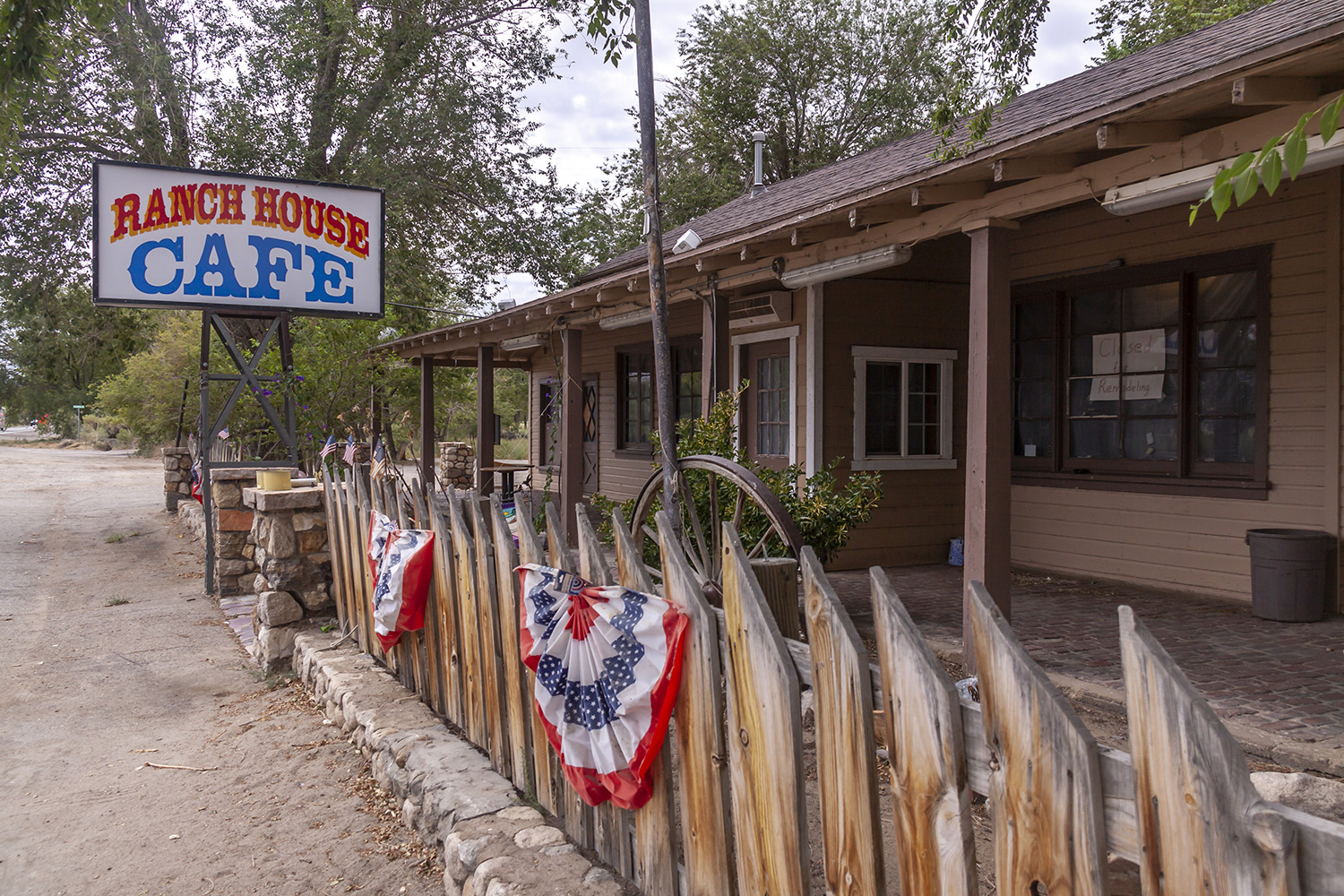 Ranch Houise Cafe on U.S. 395 in Olancha, CA |
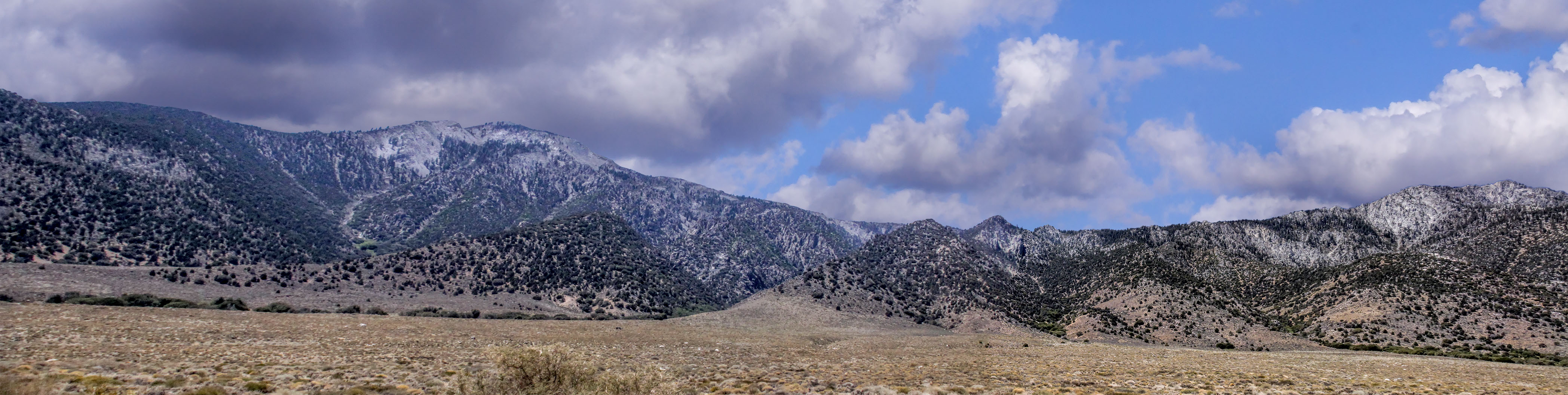
 Sierra Nevada panorama off of State Route 190 just east of Olancha. |
|
|
|
|
 |
 |
 |
 |
 |
 |
 |
 |
 |
 |
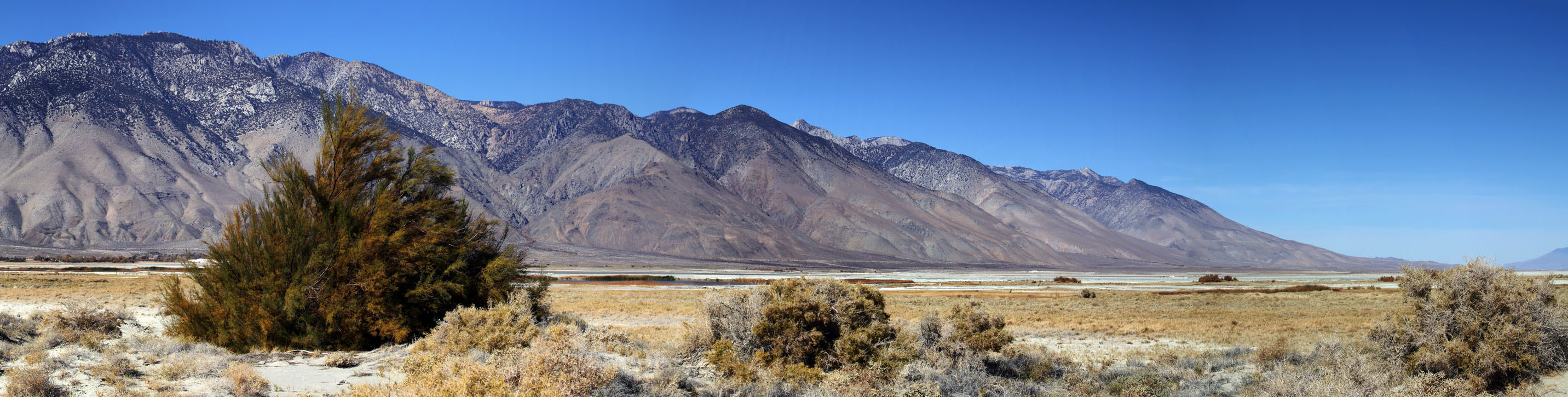
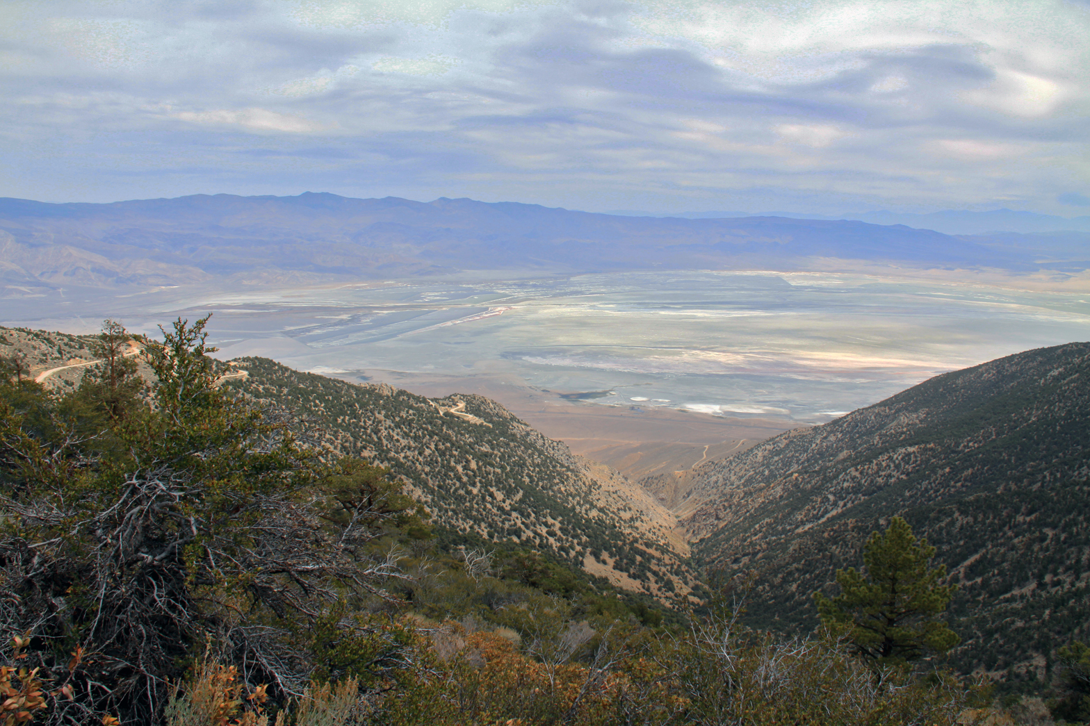
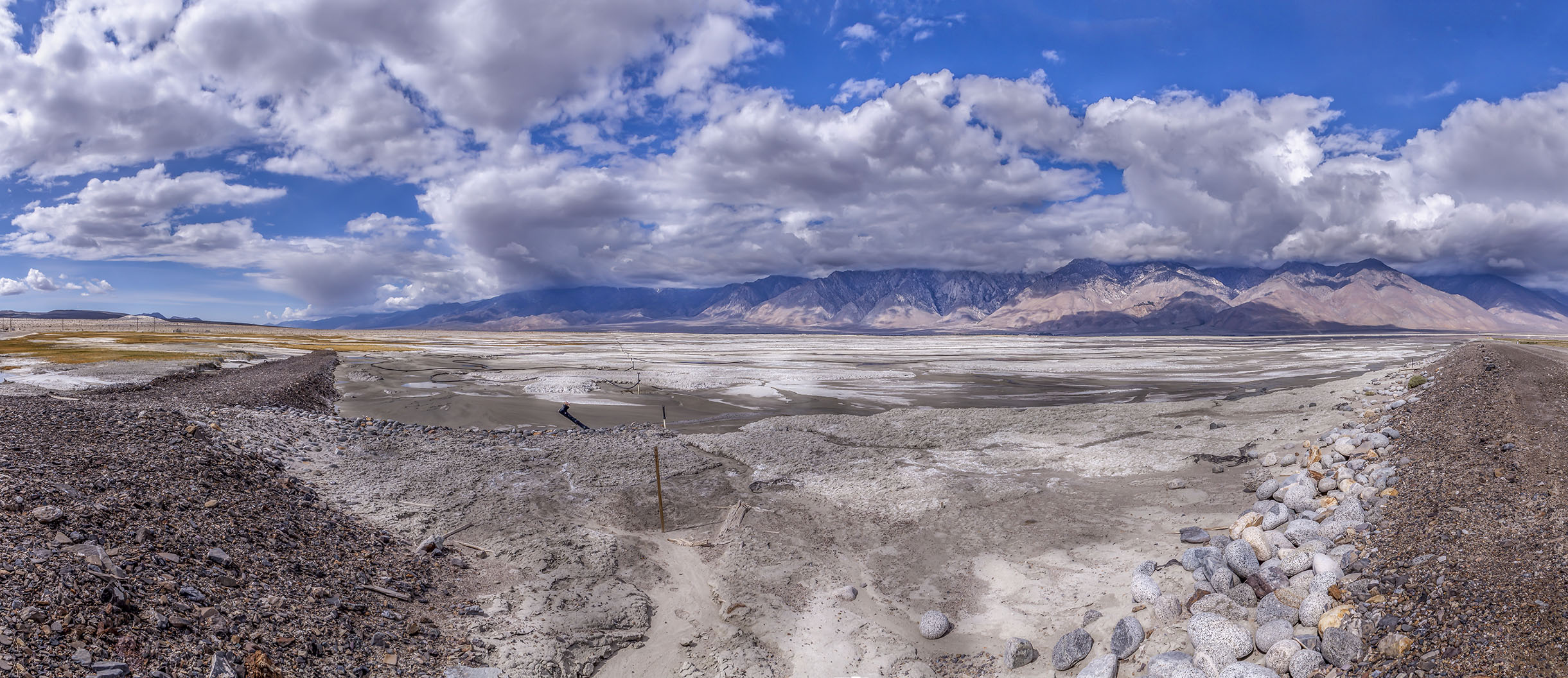 Owens Lake panorama from one of the lake dirt access roads off of California 190. |
|
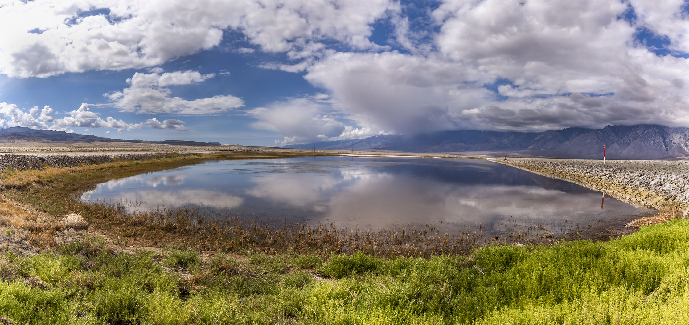 Owens Lake panorama from one of the lake dirt access roads off of California 190. |
|
 Horseshoe Meadows Road panorama of the northern end of Owens Lake |
|
 Owens Valley dry lake from the old Mt. Whitney Pack Trains Carrol Creek Trail - 2013 |
 |
 Owens Lake panorama from one of the lake dirt access roads off of California 190. |

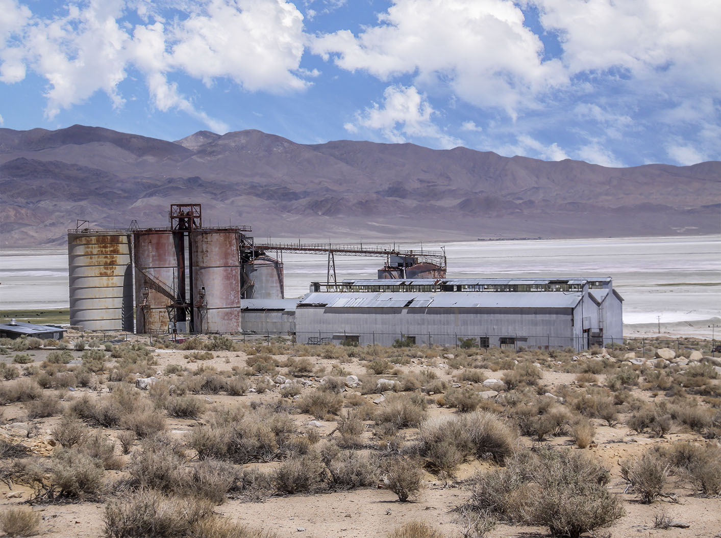 Pacific Alkali Company plant on the west shore of Owens Lake where once the town of Bartlett existed |
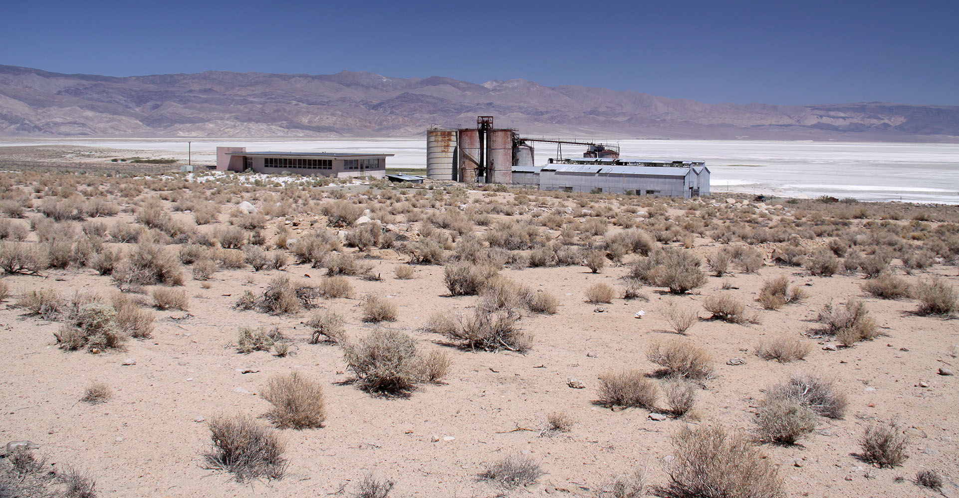 Pacific Alkali Company plant on the west shore of Owens Lake |
| Darwin | ||
| Death Valley Sketches | ||
| The All American | ||
More of My Owens Valley |
||
Monache Meadows |
|
|
John Slaughter - Sierra Lady Pack Station |
||
Ed Brown, Mt. Whitney Pack Trains Packer and Cowboy Poet |
Sign Guestbook View Old Guest Book Entries Oct 1999 - Feb 2015 (MS Word) |
 CONTACT the Pigmy Packer |
View Guestbook View Old Guest Book Entries Oct 1999 - Feb 2015 (PDF) |