 |
 One Packer's High Sierra Experience |
|
|
Revised- May 2020: High Sierra Adventures Added endorsements and poem, expanded Foreword, needed format enhancements. |
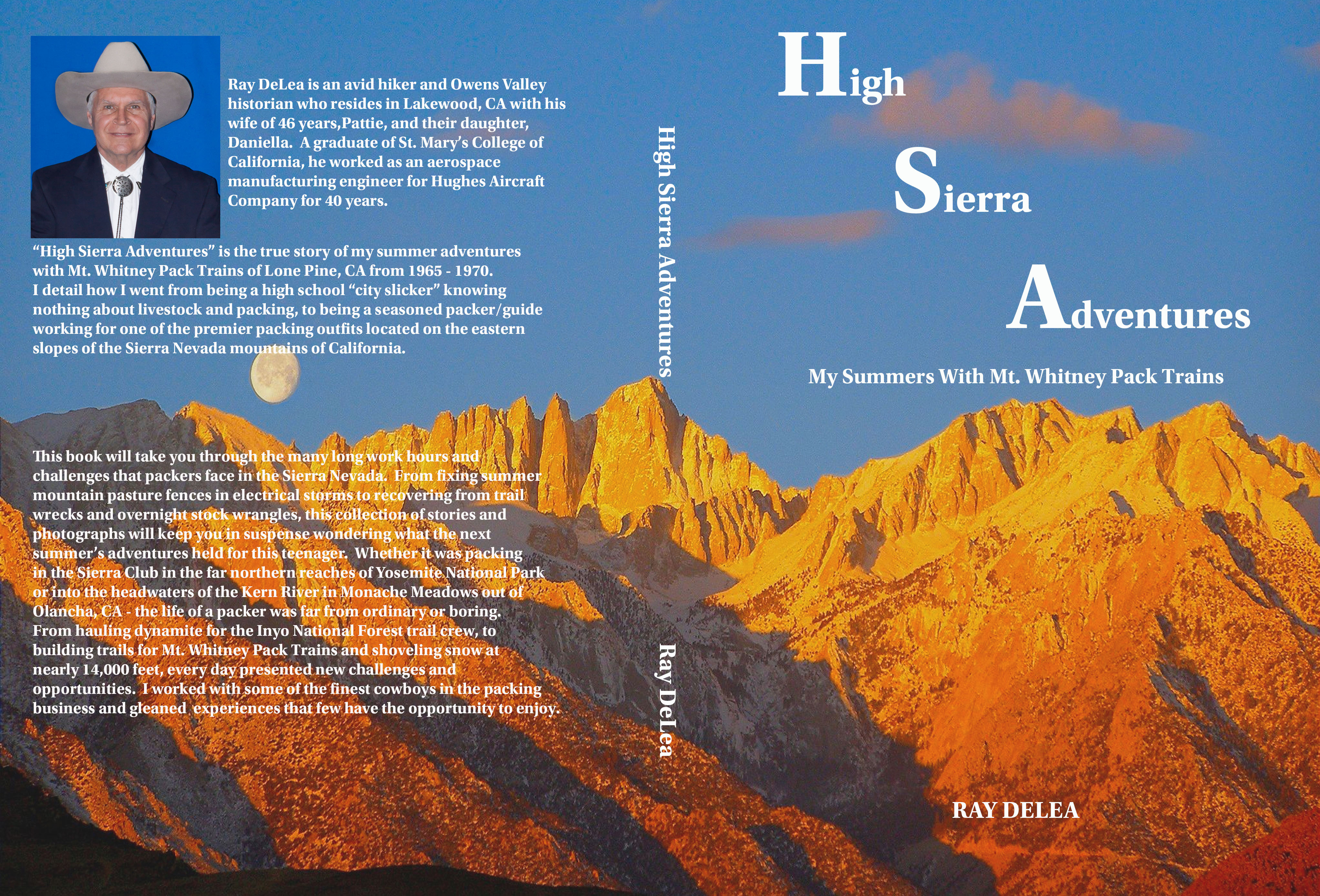 |
| This book follows the adventures of a teenager who worked for Mt. Whitney Pack Trains, out of Lone Pine, CA, for six summers between the years of 1965 - 1970. It details his journey from being a "city slicker" knowing nothing about livestock and packing to becoming a seasoned packer / guide for one of the most prestigious pack stations operating on the east side of the Sierra Nevada. Using a combination of photographs and life events he takes the reader progressively through six summers of "learning the ropes" of being a packer as he packed in such groups as the Sierra Club, the Trail Riders of the Wilderness and private parties. This book is full of events that will make you laugh and cry as he describes the pack trips, wrecks, wrangles, livestock and personnel that made each summer a greater adventure than the preceding one. |
Copies are now available through Amazon The Western Museum of Film History in Lone Pine, CA The Eastern California Museum in Independence, CA and at the Whitney Portal Hostel & Hotel in Lone Pine, CA |
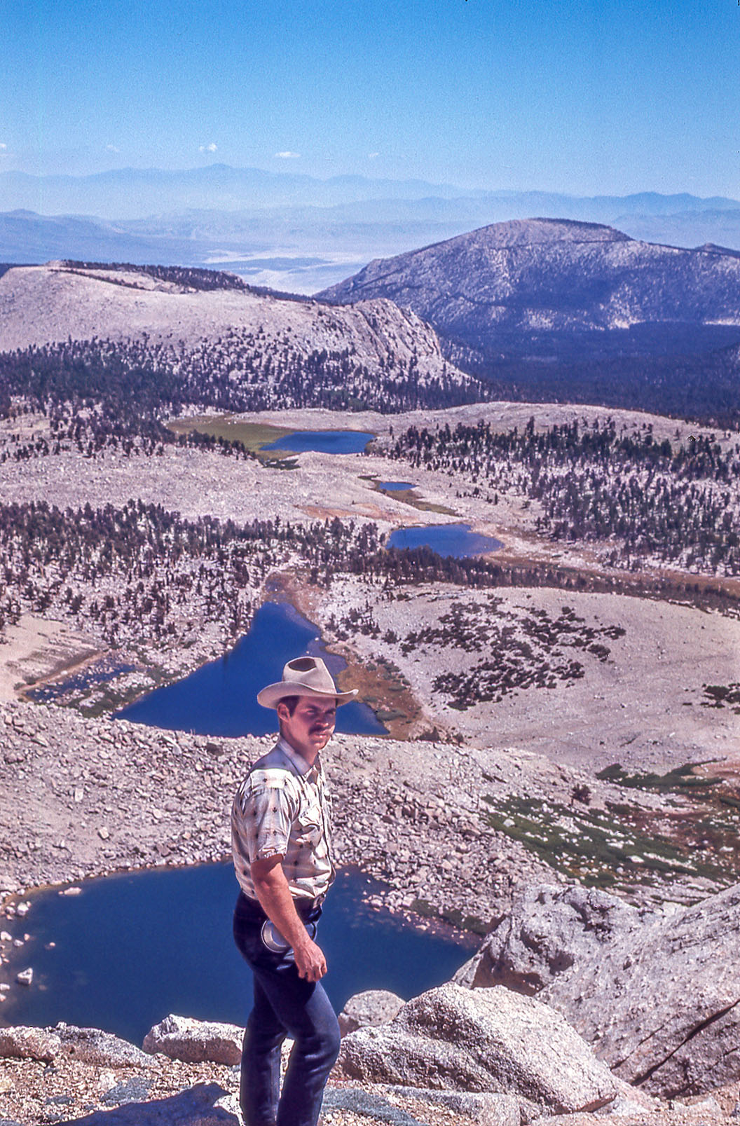
View from New Army Pass
|
From the summit of
New Army Pass looking southeast. Below you can see (from foreground
to background) High Lake, Long Lake, Upper South Fork Lake, and
Lower South Fork Lake. This is such a spectacular view from New
Army Pass! It has always been one of my favorites. This is a
picture of yours truly, circa 1968, on one of the many pack trips
which MWPT took over this pass. This is also a
memorable pass for me because this was the pass which I had my
one an only pack train wreck about 100 feet from the summit during
a Trail Riders of the Wilderness trip in 1969. My last mule,
Wendy, set back so hard she pulled herself and the three mules
in front of her right off of the trail, if I hadn't managed to
jumped off my horse and cut the lead rope going to my first mule,
my horse, lead mule and I would have gone over as well. It wasn't
a pretty sight for the guests, who were about 1/4 mile below
on the other half of the trail switchback, to see four mules
rolling down the mountain. Another terror that no one but me saw was what happened when I cut the rope attached to my lead mule. Our Paiute Indian boss (one of the best anyone could have), Tommy Jefferson, always insisted that we have a pocket knife with just one or two long blades on it; and, that we keep it razor sharp. This was one of the items, if you had any sense, you always complied with; and, my knife was VERY sharp! Well, when I touched that knife to the rope attached to my lead mule (Bart) it snapped like tightly strung barbed wire and drew the knife blade completely into Bart's shoulder. I yanked the blade out as quickly as I could but I still ended up with blood all over me as well as Bart. We both healed up in record time;but, I have to tell you, the sight of blood is not a good thing for me. This packer once fainted when he took his parent's cat to the vet for a shot. When the vet stuck that seemingly Paul Bunyan size needle into the cat it did me in. Thankfully no one was injured in the wreck and the mules came out OK. The only thing that was shattered was my nerves and a bit of my beginning reputation as a packer. It took myself and several other of the packers about 40 minutes to clean up the mess, repack the mules, and loose herd them over the pass. It taught me a lesson I never forgot either, you could never watch your mules too much! I didn't intend on giving the Trail Riders this type of Kodak moment, but I'm sure one of the 30 or so guests captured it on film! |
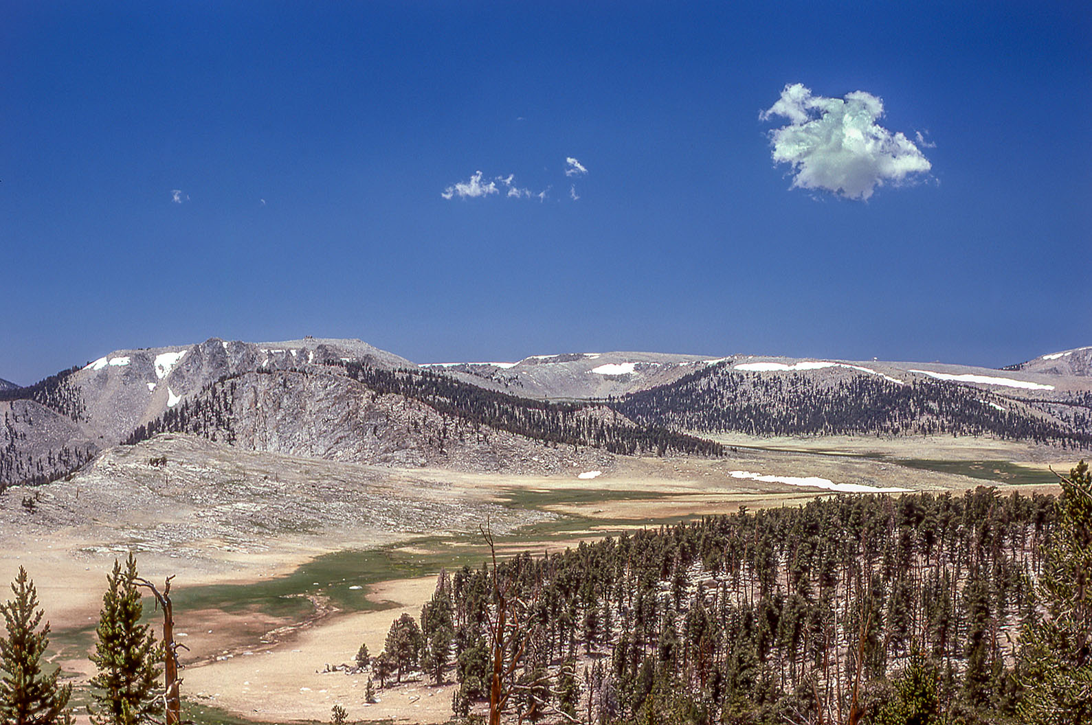
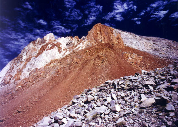
Siberian Outpost Looking west
from the Pacific Crest Trail you can see the Siberian Outpost
sweeping through the middle of the picture (a sprinkling of meadow
in an otherwise sandy expanse). The Boreal Plateau sets highin
the right background and the peaks surrounding Rock Basin Lakes
in the left background. We often packed down through or across
the Siberian Outpost, coming from Big Whitney Meadows over Siberian
Pass, to Middle and Upper Rock Creek. Seldom if ever were camp
sites selected here. There usually was never enough water to
support anything other than the sparse meadow that existed. Following
the middle canyon near the center of the outpost you can pack
over a small pass into Rocky Basin Lakes; or, continue crosscountry
up onto the Boreal Plateau to Funston Lake. If one continues
off to the immediate right they would drop into Upper Rock Creek
with access to the Miter Basin, Sky Blue Lake and Army Pass.
Continuing on down the outpost, the trail will eventually lead
you to middle and lower Rock Creek. |
 |
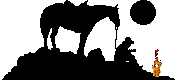
"Old Man of the Mountains"
by Howard Gilliam
Red and Black Kaweah
|
Sawmill
Pass Although
I never packed over Sawmill Pass, only hiked, it is one of the
most picturesquely overlooked trails in the Eastern Sierra. The
trail to Sawmill Pass and Woods Lake is still in great condition;
but be forewarned, it is ruthlessly steep with no water for the
first seven miles. The views of Owens Valley and the trail climb
are memorable beyond belief. Woods Lake can be reached via two
trail heads - the roadend at the Division Creek Powerhouse |
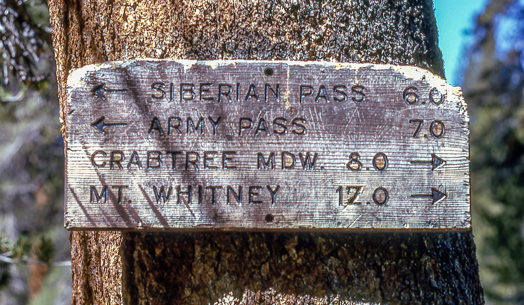
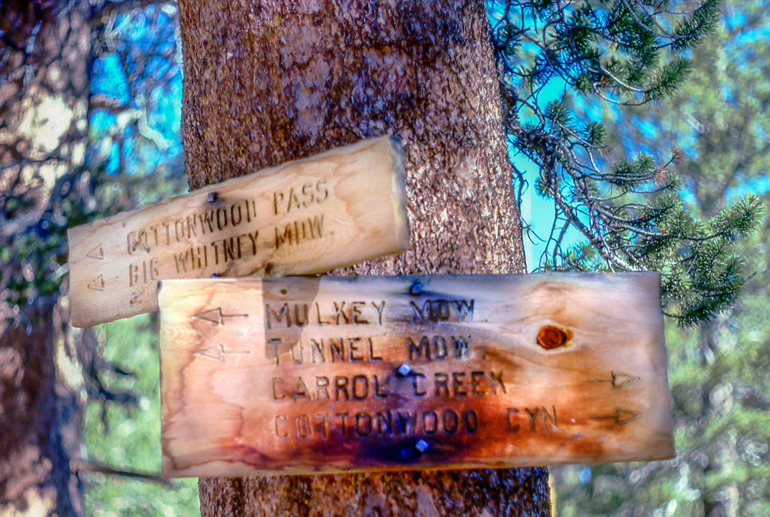
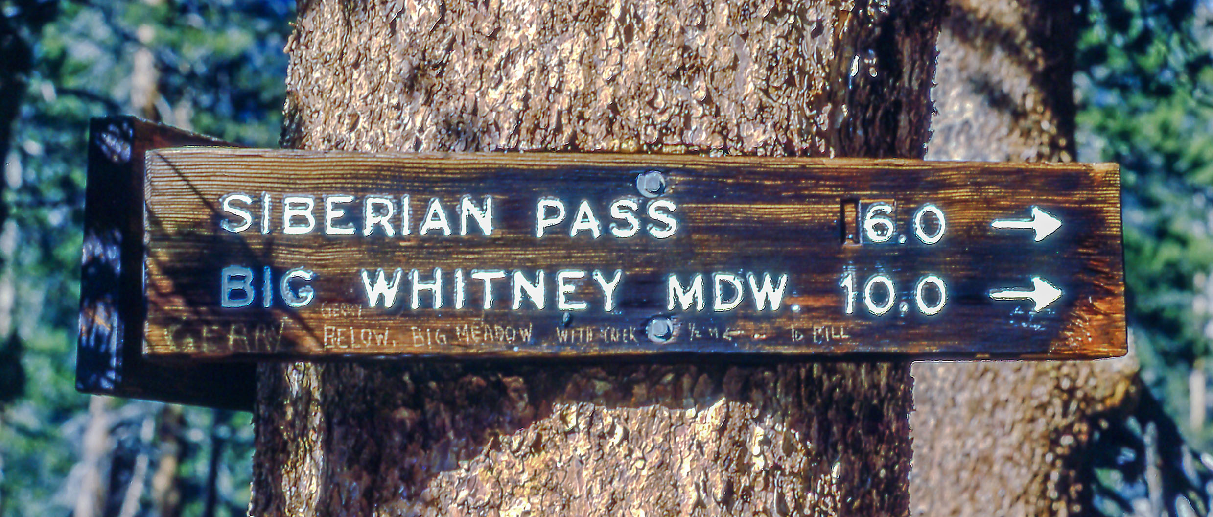
| Familiar
Trail Signs? I can't begin to tell you how many trail signs I packed by over the years. I certainly wish I had taken more pictures of them. They are so seemingly insignificant when you go by some of the same ones over and over again; but, how can you forget them. With all of the havoc the vandals are playing in the backcountry these days I am surprised they haven't done something with the trail signs! Hey, if they'll steal aregister at the top of a mountain, what is a trail sign? I can still picture many of those backcountry signs like those leading over Bishop Pass into Dusy Basin, or over Avalanche Pass into Cloud Canyon and Colby Pass, or at Junction Meadow on the Kern River leading over Colby, Forester and Shepherd Passes; and, to the north those leading over Snow Summit into Kerrick Meadows and onto Benson Lake, or over Buckeye Pass into Paiute Creek and onto Tilden Lake? Whether in the back country or at the trailhead they represent icons of places we've been to, are passing by, or are going to. Like names chiseled into granite, they are signposts to a time when we can unload the mules, set-up packer's camp, chow down at the camp commissary or find a secluded place in one of the streams, get buck naked, and take one of the coldest baths you're liable to ever take! I still recall the time we were camped at upper Rock Creek, just westof New Army Pass, in early June. With snow still everywhere and none of the packers having taken a bath in about two days, things were getting pretty foul in packer's camp, it was time for a dip. I grabbed my toiletries and a fresh change of clothes and headed for the creek. There were snow banks to the right of me and snow banks to the left of me. When I jumped into that creek I nearly died! The sheer sight of the height of my goose bumps drove away the rest of the packers. Even my old trail mate, Norman Jefferson, failed to take the plunge. It was another two days before anyone else ventured into those streams. But what the heck, that is what it was all about! Sometimes a cold shivering, clean packer is just what the commissary girls had in mind! |
   |
|
|
Early Lone Pine | |
|
|
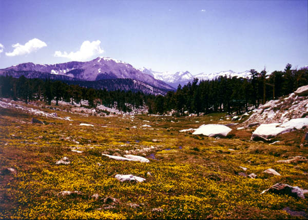
Wildflowers of the High Sierra | |
|
More, One Packer's High Sierra Experience |
|
|
|
Brochures of the Eastern High Sierra |
|
|
|
Cerro Gordo |
|
Sign Guestbook View Old Guest Book Entries Oct 1999 - Feb 2015 (MS Word) |
 CONTACT the Pigmy Packer |
View Guestbook View Old Guest Book Entries Oct 1999 - Feb 2015 (PDF) |