|
Whitney Portal Road Construction, Mt. Whitney Trail and Mt. Whitney Aerial Tram |
See USE NOTICE on Home Page. |
Whitney Portal Road Construction (Photographs and text this section courtesy of Rich McCutchan from the July 1991 issue of The Album unless otherwise indicated) |
|
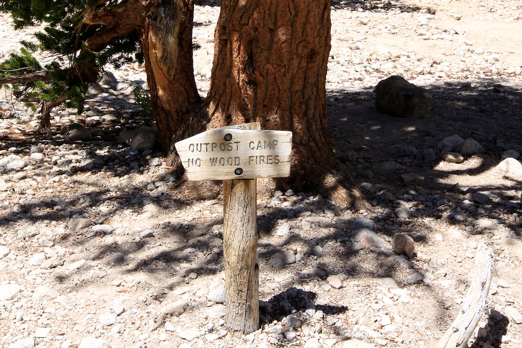
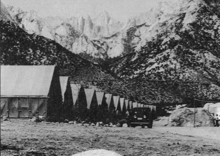 Summer 1933 - tent camp established at the site of the present Lone Pine Campground for the Civilian Conservation Corps Company 2921 |
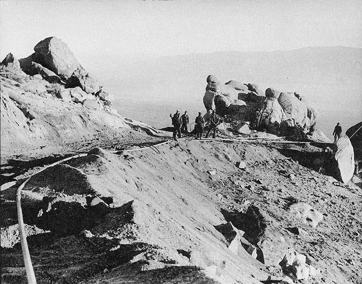 Building the Whitney Portal Road |
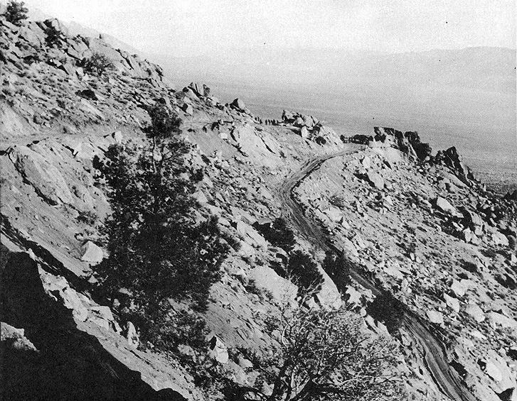
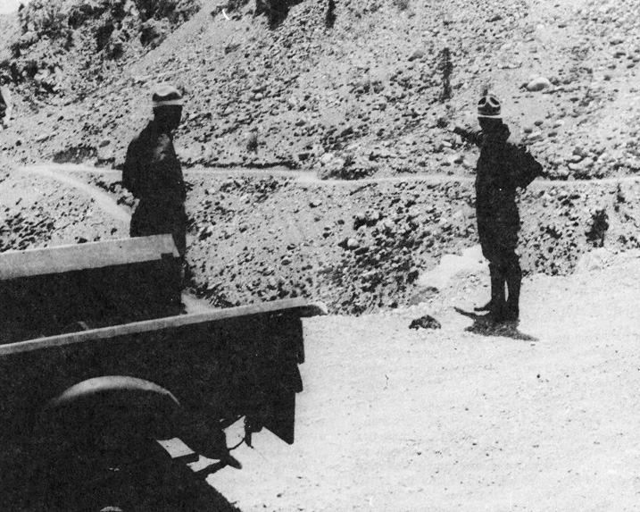
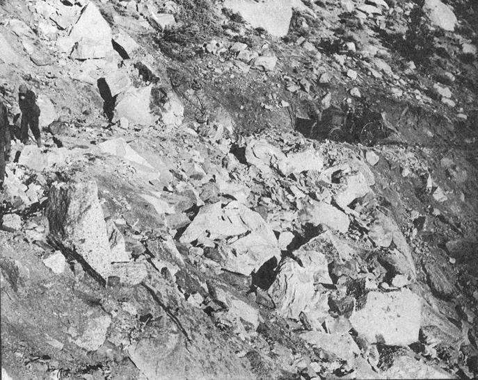 Whitney Portal road terrain during road construction. |
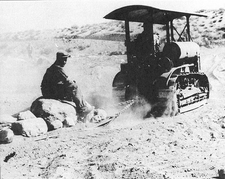 Fresno scraper use in the construction of the Whitney Portal Road construction. |
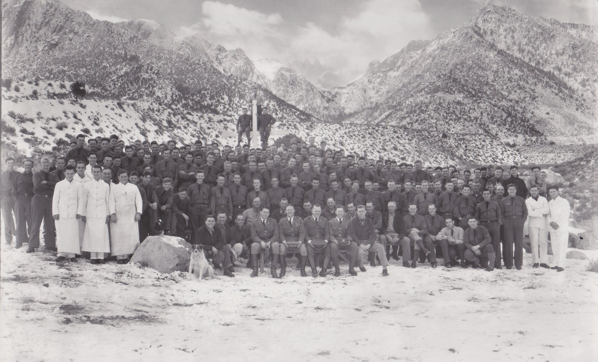 Civilian Conservation Corps (about 200 folks) - circa 1930s - enlisted to construct the Whitney Portal Road (Photo courtesy Inyo County Sesquencentennial) |
|
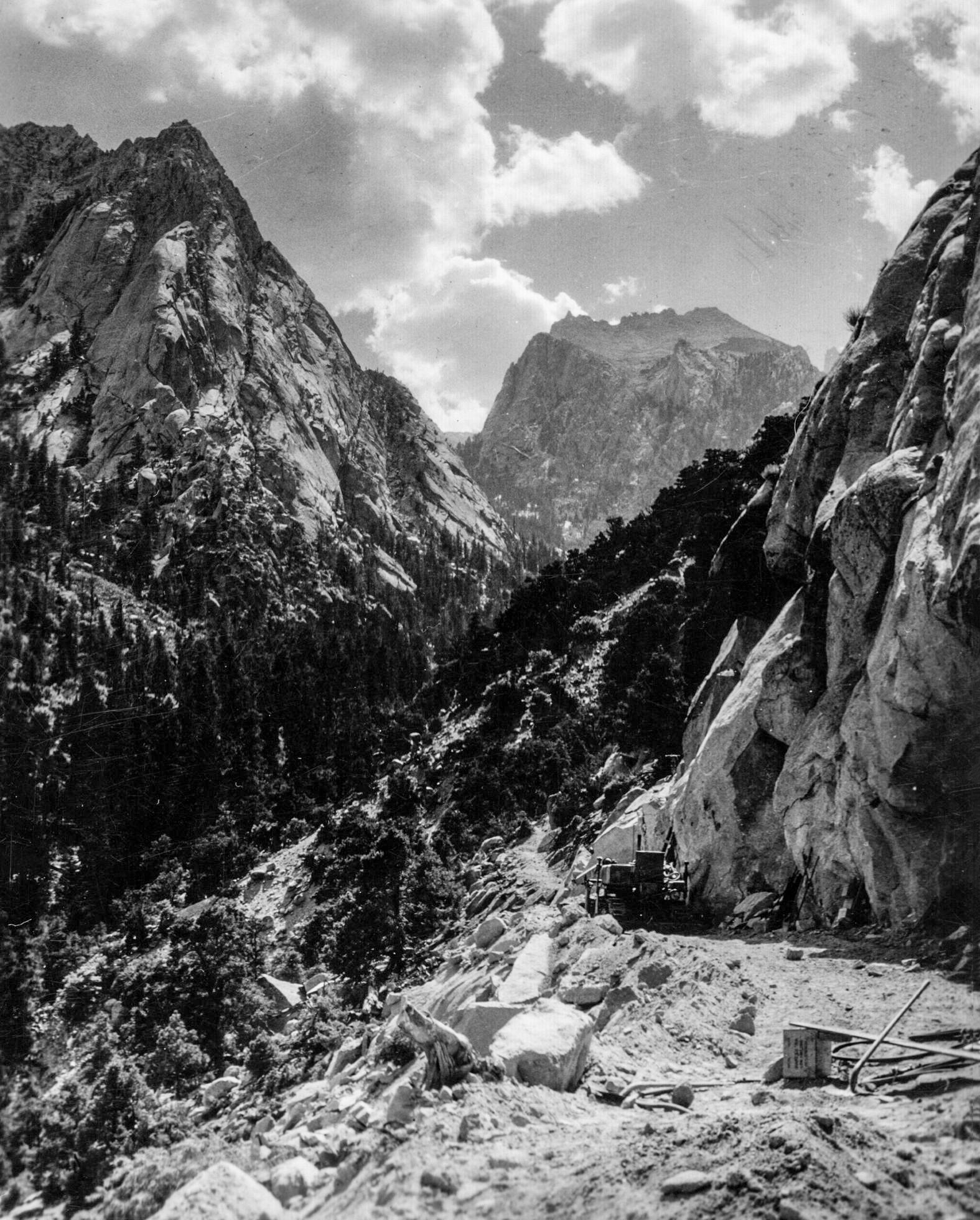 Construction of the Whitney Portal Road - 1930s (Photo courtesy Inyo County Sesquencentennial) |
 Whitney Portal Road - circa 1930s (Photo courtesy Inyo County Sesquencentennial) |
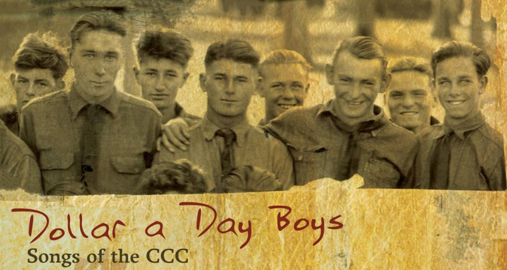 Civilian Conservation Corps "Dollar a Day Boys" singing group. (Photo courtesy Inyo County Sesquencentennial) |
|
Construction of the Whitney Portal Road
by Emilie Martin
(Photos / fotocards / and text this section courtesy of Rich McCutchan from the July 1991 issue of The Album unless otherwise indicated) |
|
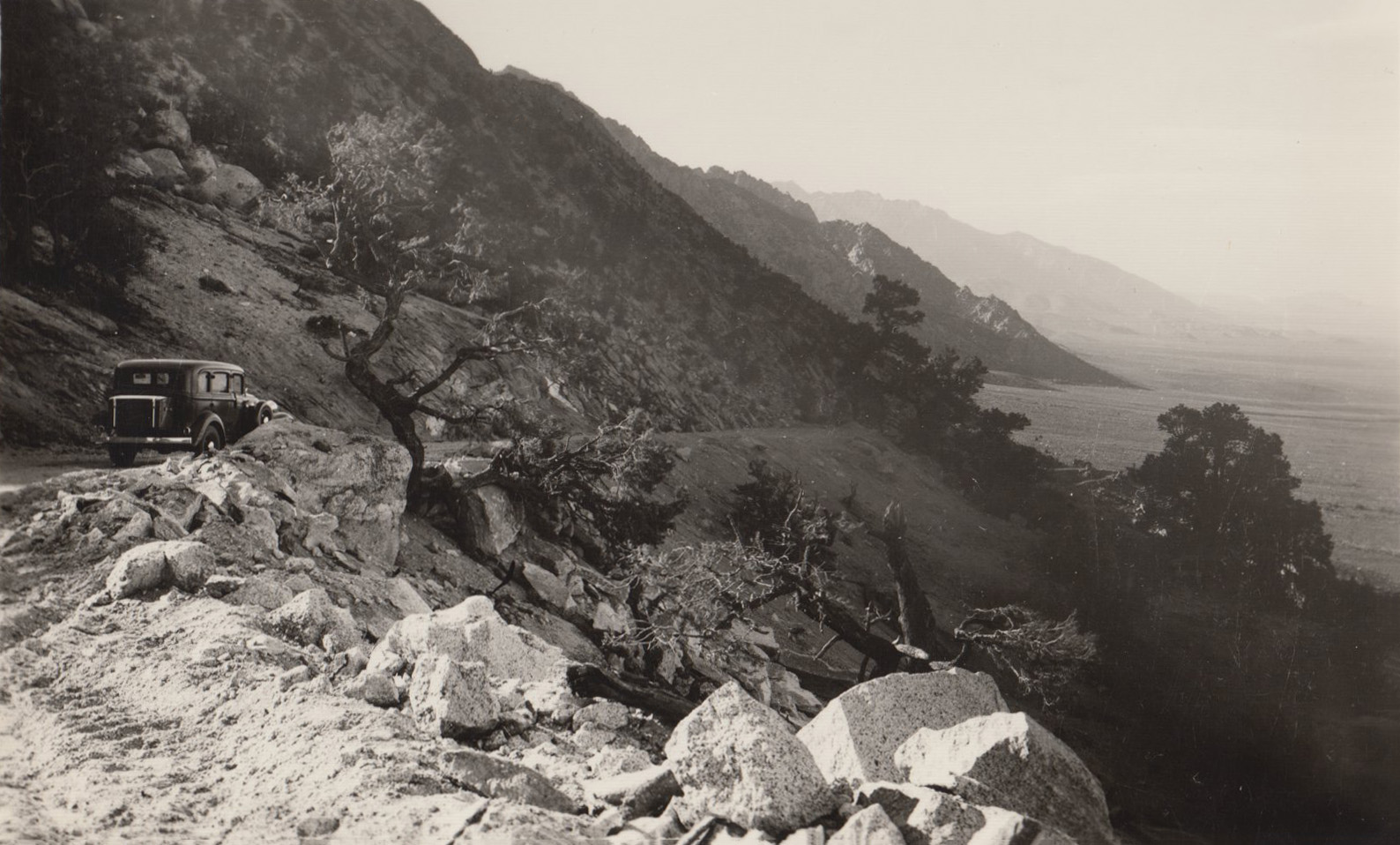
 A rough dirt road winds its way up the steep hillside with Owens Valley in the background |
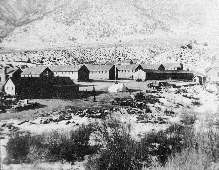 By 1936 four barracks, a mess hall, a library and an officer quarters were constructed at the site of the present Lone Pine Campground. Approximately 200 workers were housed at the camp. Their major work project was construction of the Whitney Portal Road and improvement of the trail to the 14,495' summit of Mount Whitney. |
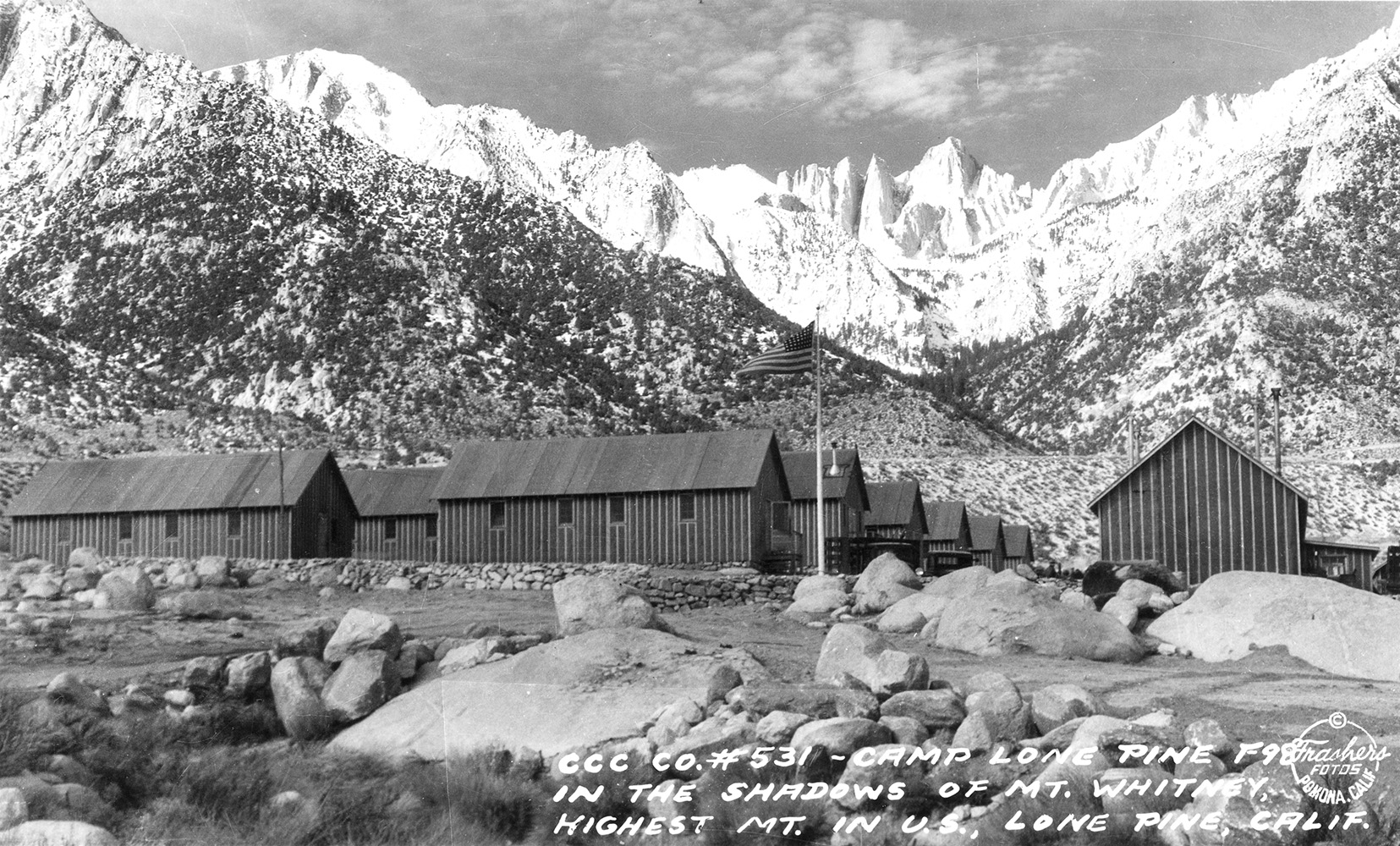 By 1936 four barracks, a mess hall, a library and an officer quarters were constructed at the site of the present Lone Pine Campground. Approximately 200 workers were housed at the camp. Their major work project was construction of the Whitney Portal Road and improvement of the trail to the 14,495' summit of Mount Whitney. |
|
 Forest Service personnel surveying work done by the CCC on the Whitney Portal Road. |
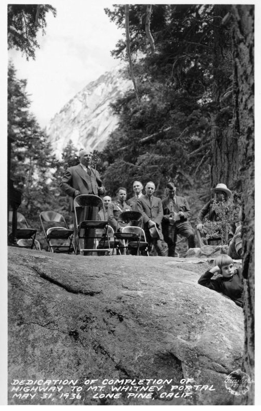 Dedication of the completion of the Whitney Portal Road - 1936 |
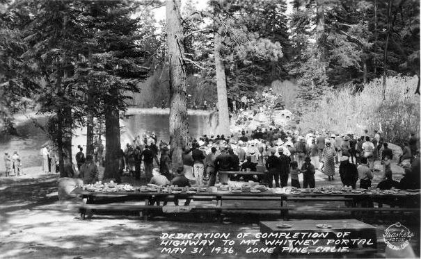 Dedication of the completion of the Whitney Portal Road - 1936 |
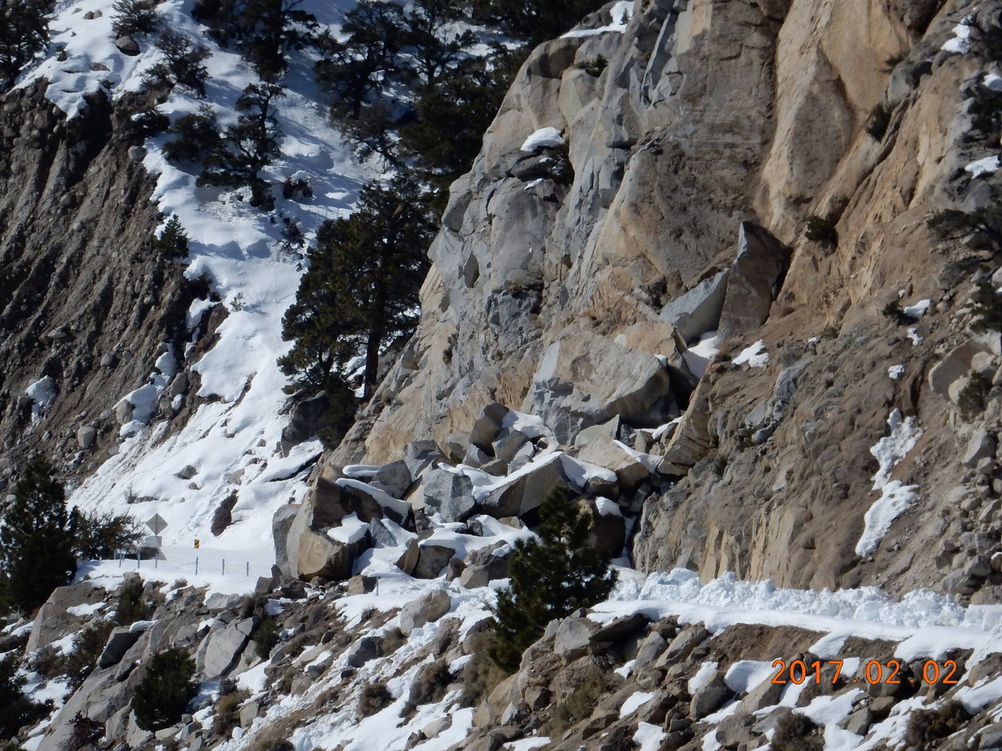 Winter rockslide on the Whitney Portal Road - 2017 (CHP - Bishop photo) |
 Winter rockslide on the Whitney Portal Road - 2017 (CHP - Bishop photo) |
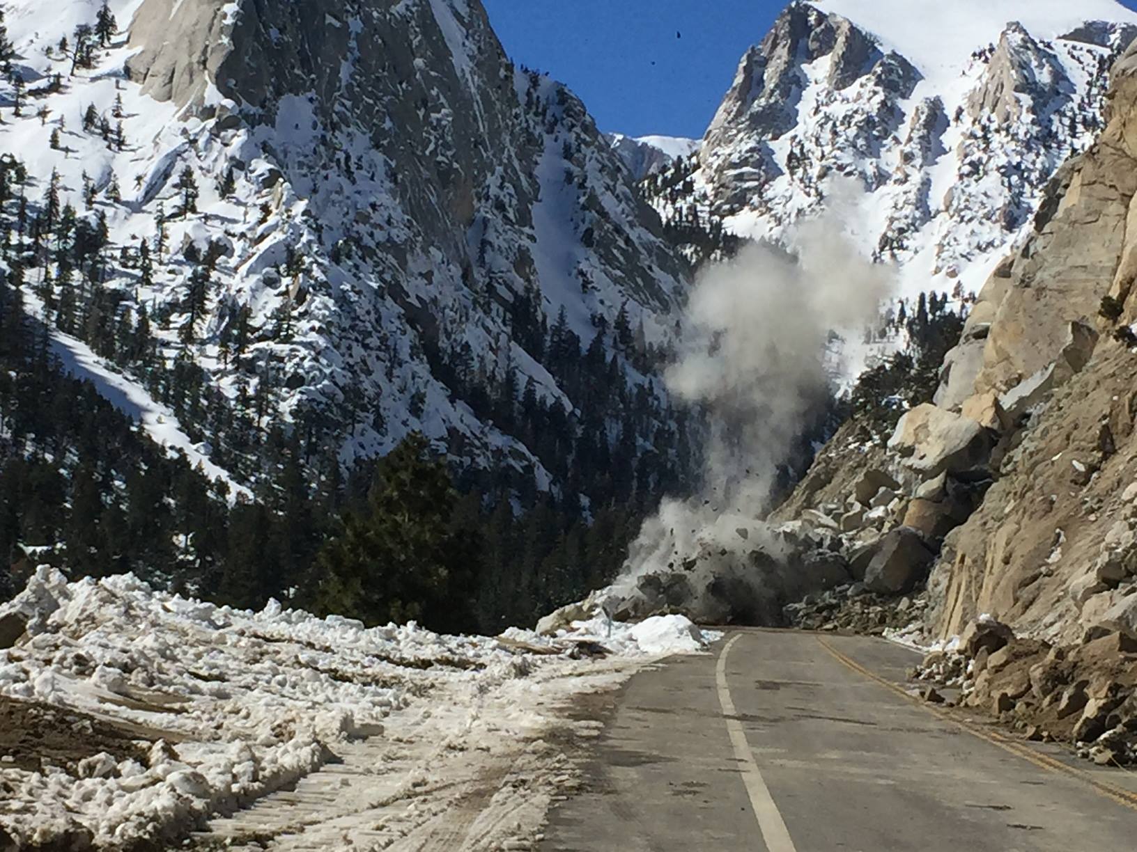 Clearing a winter rockslide on the Whitney Portal Road - 2017 (CHP - Bishop photo) |
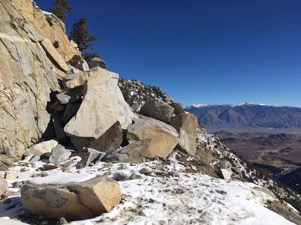
 Winter rockslide on the Whitney Portal Road - 2017 (CHP - Bishop photo) |
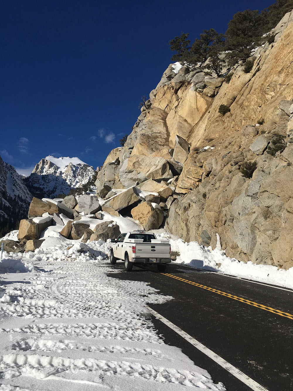
 Winter rockslide CLEARED on the Whitney Portal Road - 2017 (CHP - Bishop photo) |
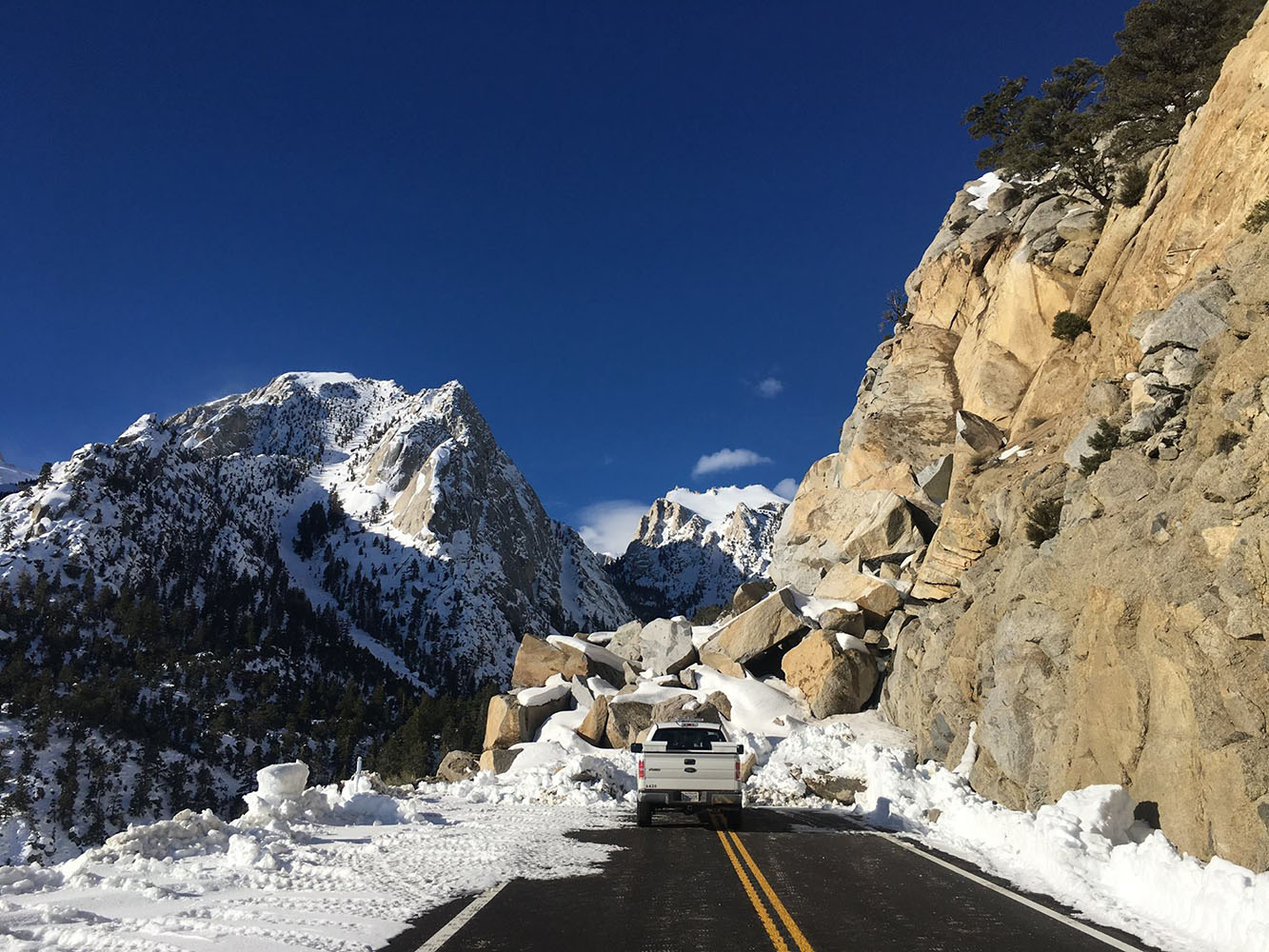 Winter rockslide on the Whitney Portal Road - 2017 (CHP - Bishop photo) |
 Winter rockslide on the Whitney Portal Road - 2017 (CHP - Bishop photo) |
 Whitney Portal Road (Photo courtesy Ray DeLea - 2015) |
|
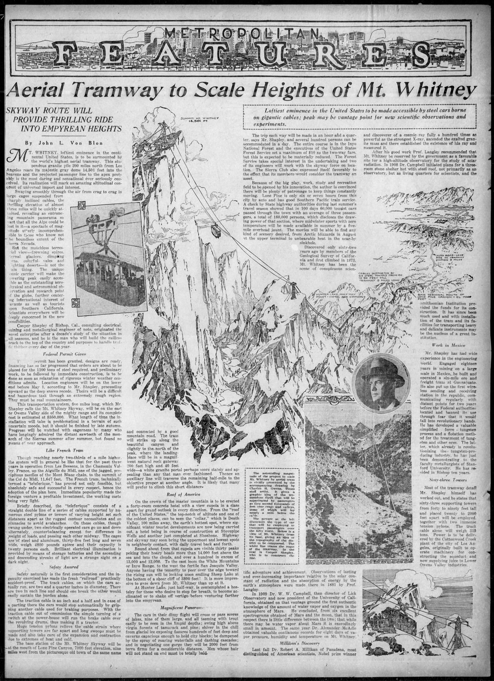 Mt. Whitney Aerial Tram Proposal From the Los Angeles Times - February 28, 1926 (Article courtesy of Hal Eaton) |
Photographs courtesy Rich McCutchan archives |
|
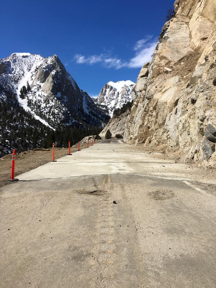
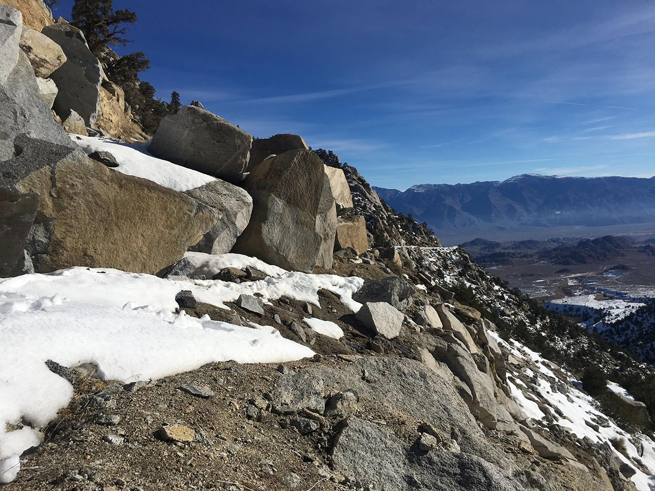
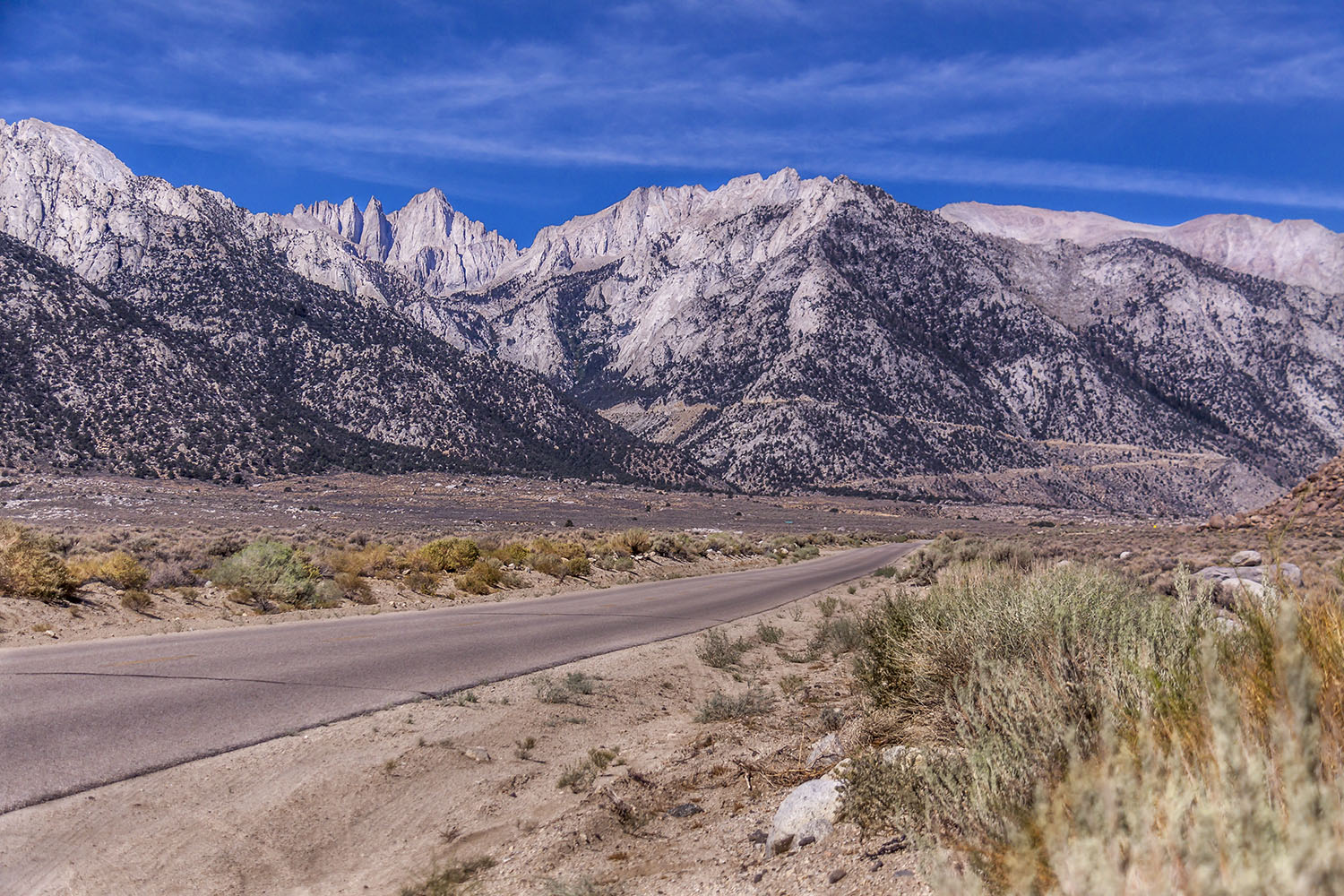
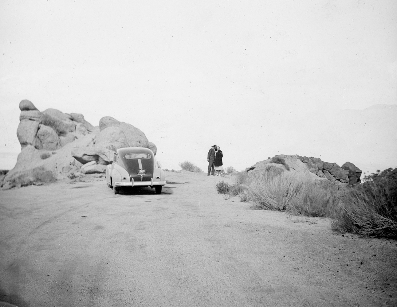 Whitney Portal Road |
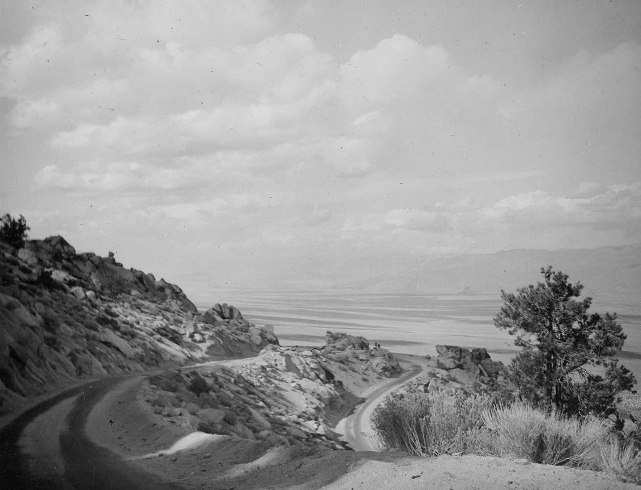 Whitney Portal Road |
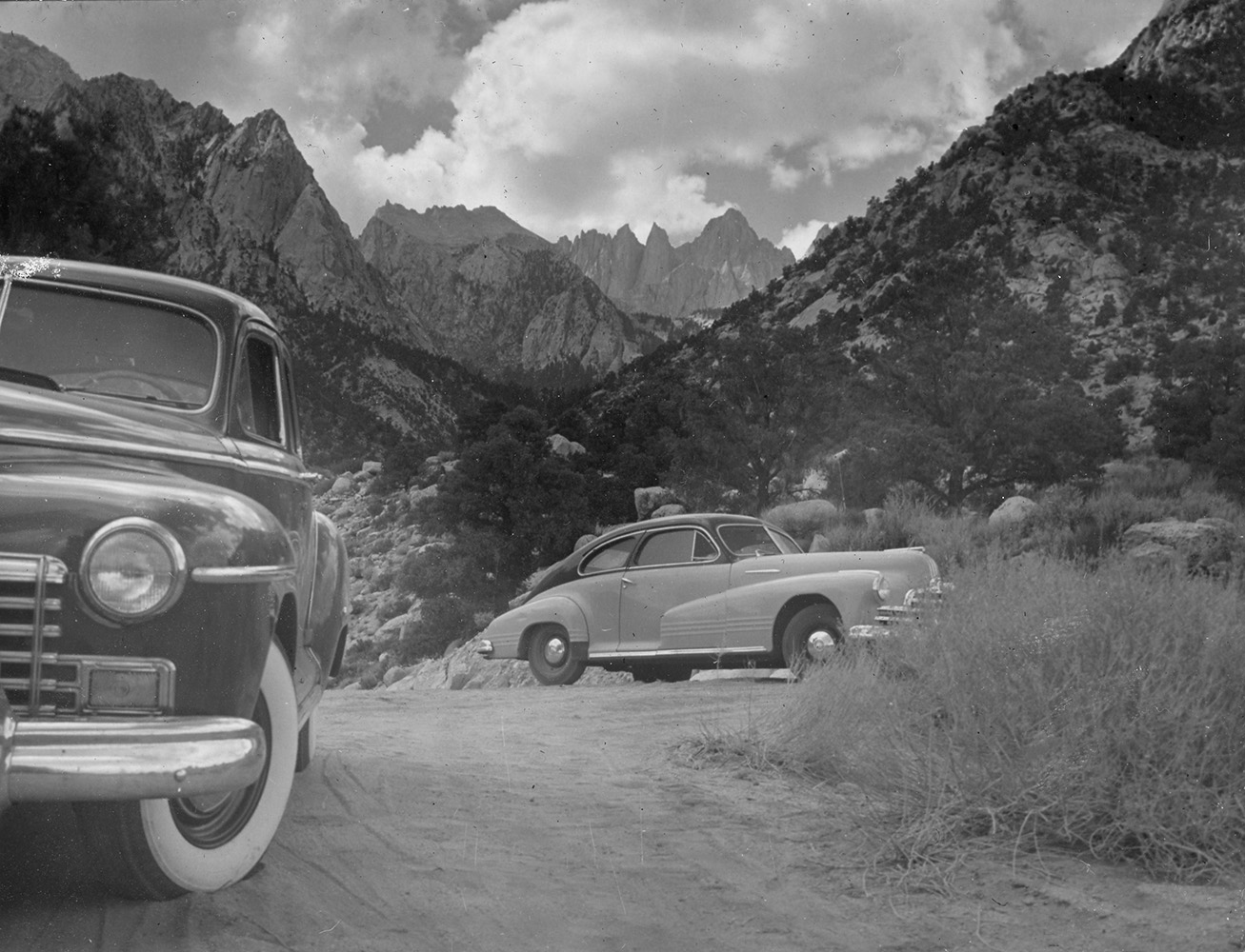 Whitney Portal Road |
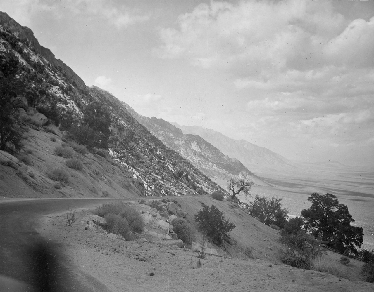 Whitney Portal Road |
 Whitney Portal Road |
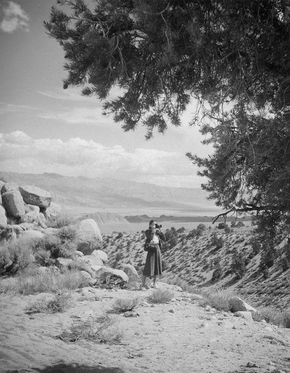
 Bruce Morgan on the Mt. Whitney trail with Consultation Lake in the background. |
 PACK TRAIL IS BUILT TO TOP OF MOUNT WHITNEY Ranchers of Lone Pine, Inyo County, Complete Difficult Task After Many Months of Labor The San Francisco Call - 31 July 1904 |
A pack trail to the summit of Mount Whitney has been constructed. Three mules and a saddle horse have made the ascent to demonstrate the practicability of travel over the new path. The people of Inyo County are now awaiting tourists. Mount Whitney is the highest point in the United States. The top is exactly 14,515 feet above the sea level, according to the computations of Professor McAdie of the Weather Bureau. The ranchers of Lone Pine commenced the construction of the pack trail several months ago. The work was completed July 18. McAdie received the news yesterday and is preparing to install apparatus on the summit. The writer of the letter stated that Boyd Surby was struck by lightning at the very tp of the mountain on July 26, but McAdie says that prospective visitors to the lofty peak need not be alarmed on that account, for he intends to keep the electricity away from there in the future. There is some talk of erecting an observatory on Mount Whitney with funds supplied to the Government by Andrew Carnegie. |
BREAKS THE RECORD ON TRIP TO MOUNT WHITNEY Ventura Man Travels From the Seashore to Summit in Four and a Half Days The San Francisco Call - 10 August 1904 |
| VENTURA, August 9. - J. P. Rasmussen of this city has just completed a remarkable trip to the summit of Mount Whitney. His time, four and half days from the seashore to the summit of the highest moutain in the United States, has never been equaled by any other human being. Rasmussen left Ventura Wednesday evening by train, traveled from Mojave by stage and reached Lone Pine, Inyo County, at the foot of Mount Whitney, on Saturday. Early Sunday morning he was in the saddle ready for the trip to the summit A new trail, shortening the distance to the summit by two days' travel, was completed that day, and Rasmussen camped on the trail at timber edge rthat night, 11,000 feet above sea level. Next day at noon he was on the mountain top, making the entire trip of several hundred miles by train, stage and horse in four and a half days. |
Mt. Whitney from Timberline Lake
by Lewis C. Clark
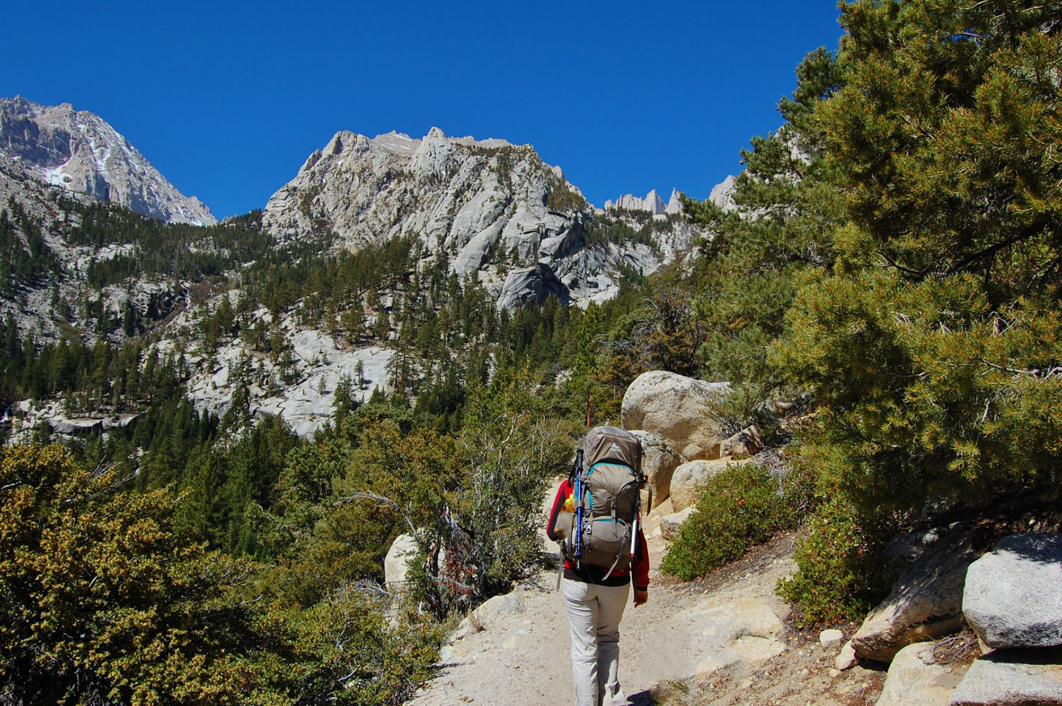
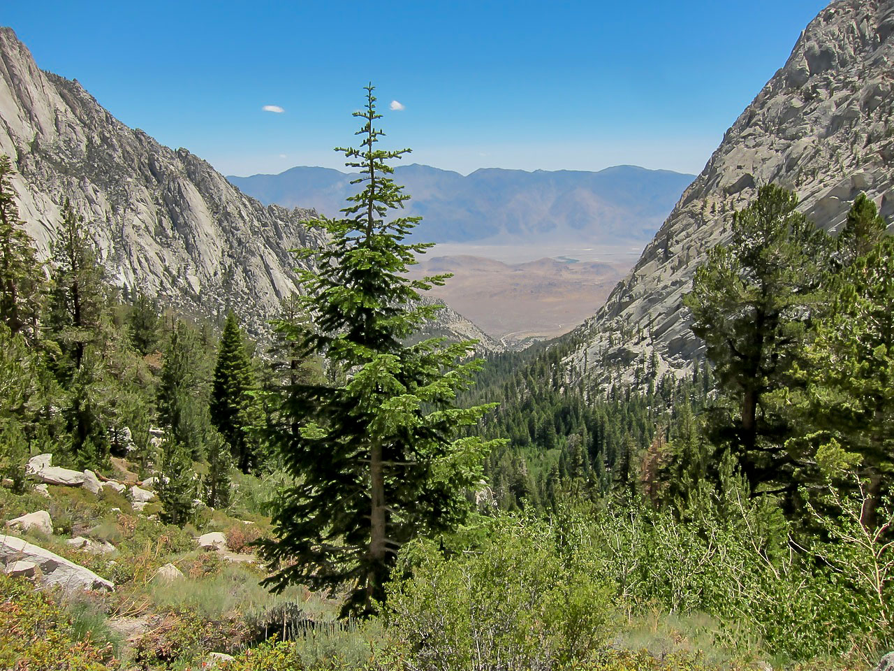
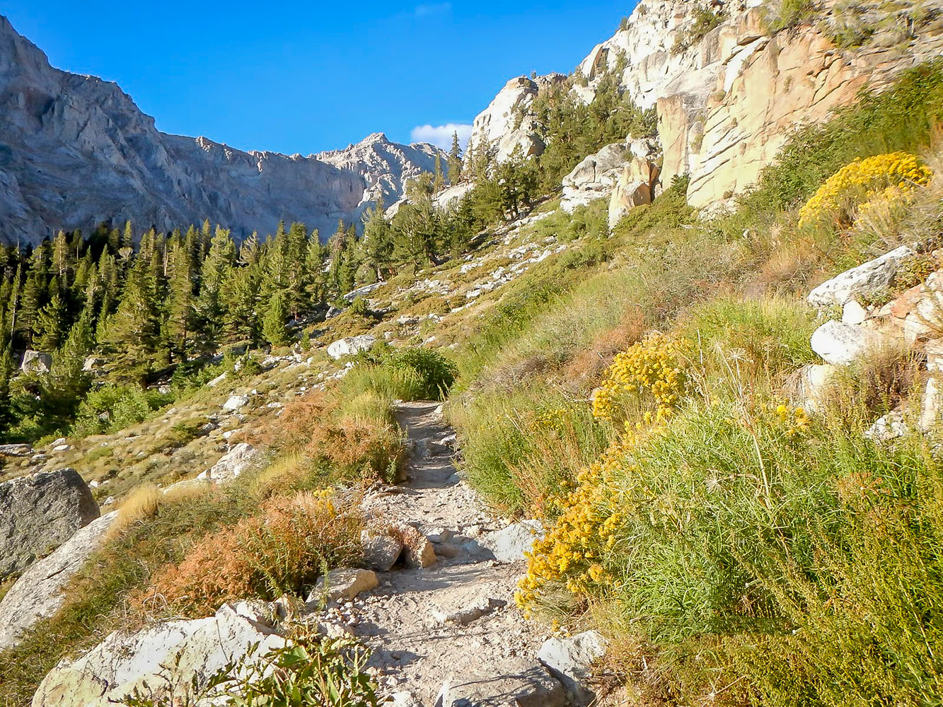
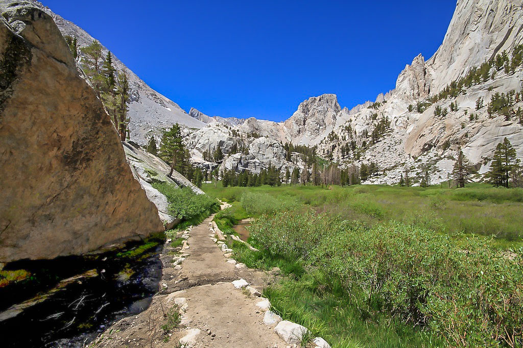
Mt. Whitney Trail |
|
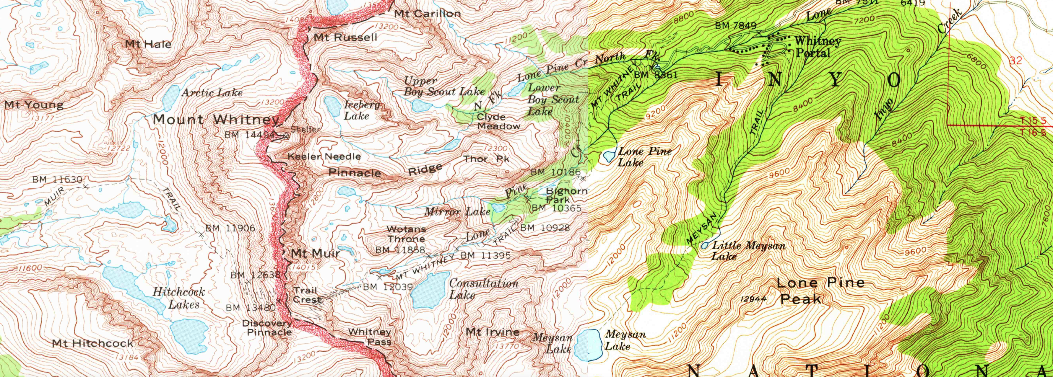 1958 and 1967 USGS topographical map composite of Lone Pine & Mt. Whitney quadrangles - SCALE 1:62500 |
|
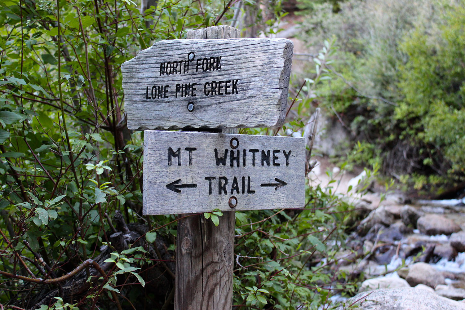
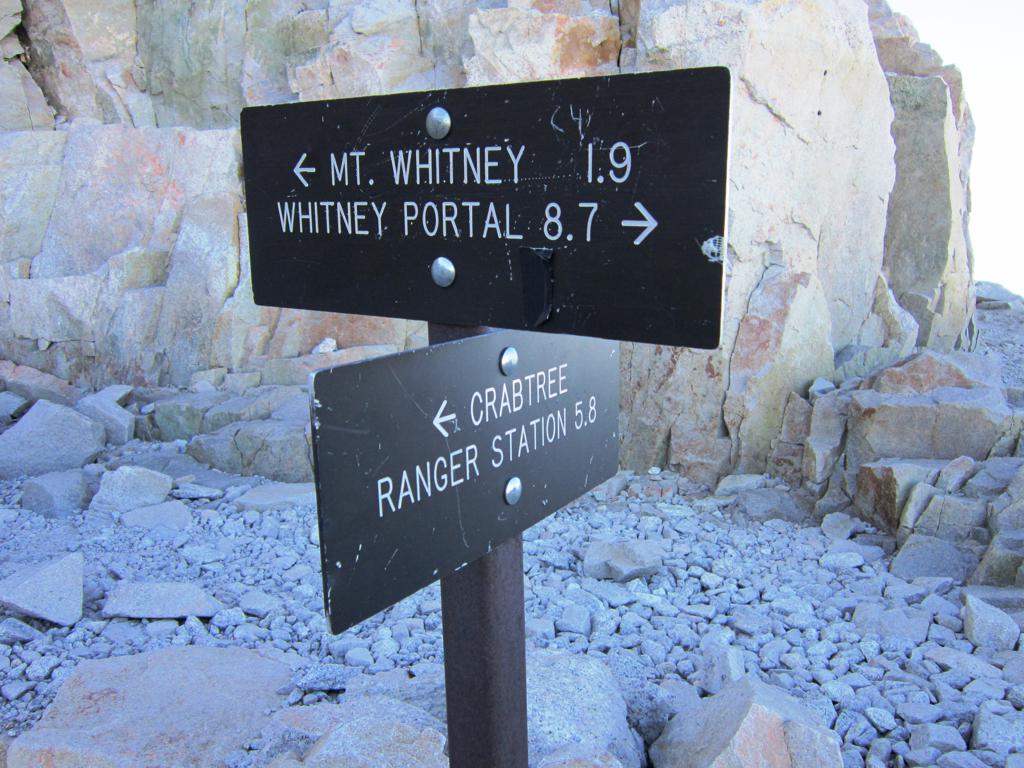
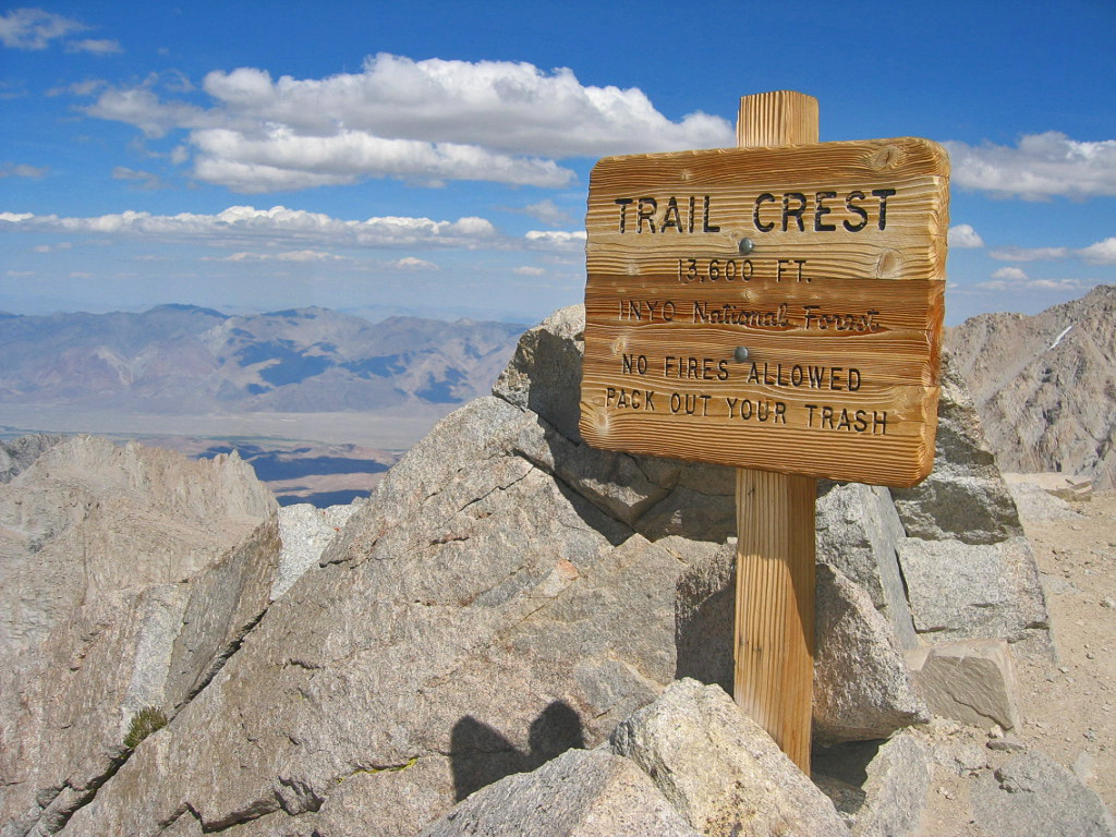
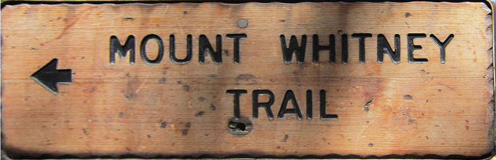 Mt. Whitney Trail Sign at Whitney Portals |
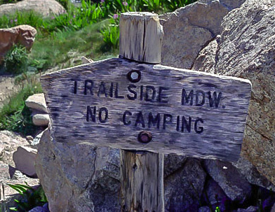
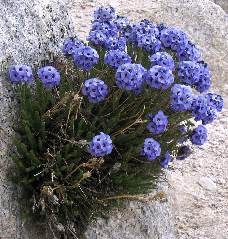 The Sky Pilot (Polemonium) awaits those folks who make it to 12,000' |
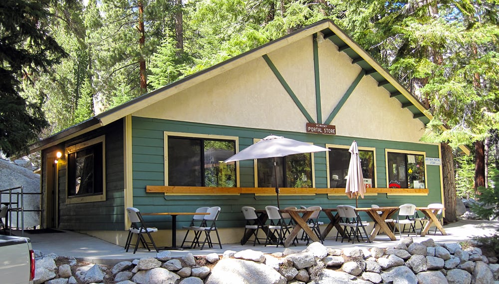 Mt. Whitney Portal Store - Whitney Portals, CA |
|
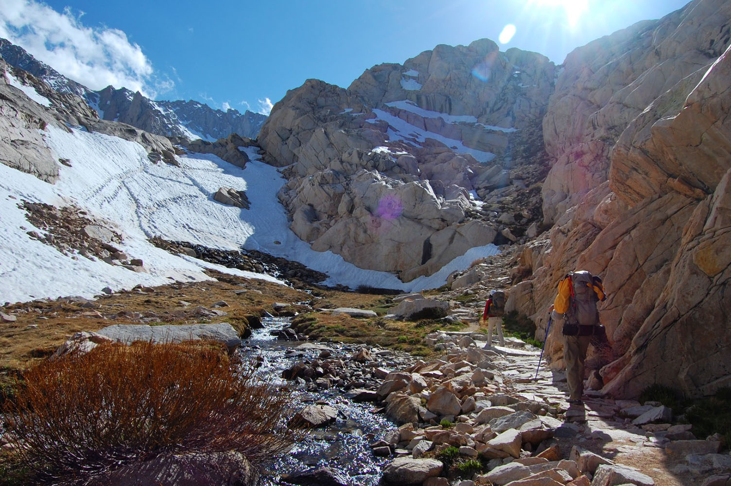
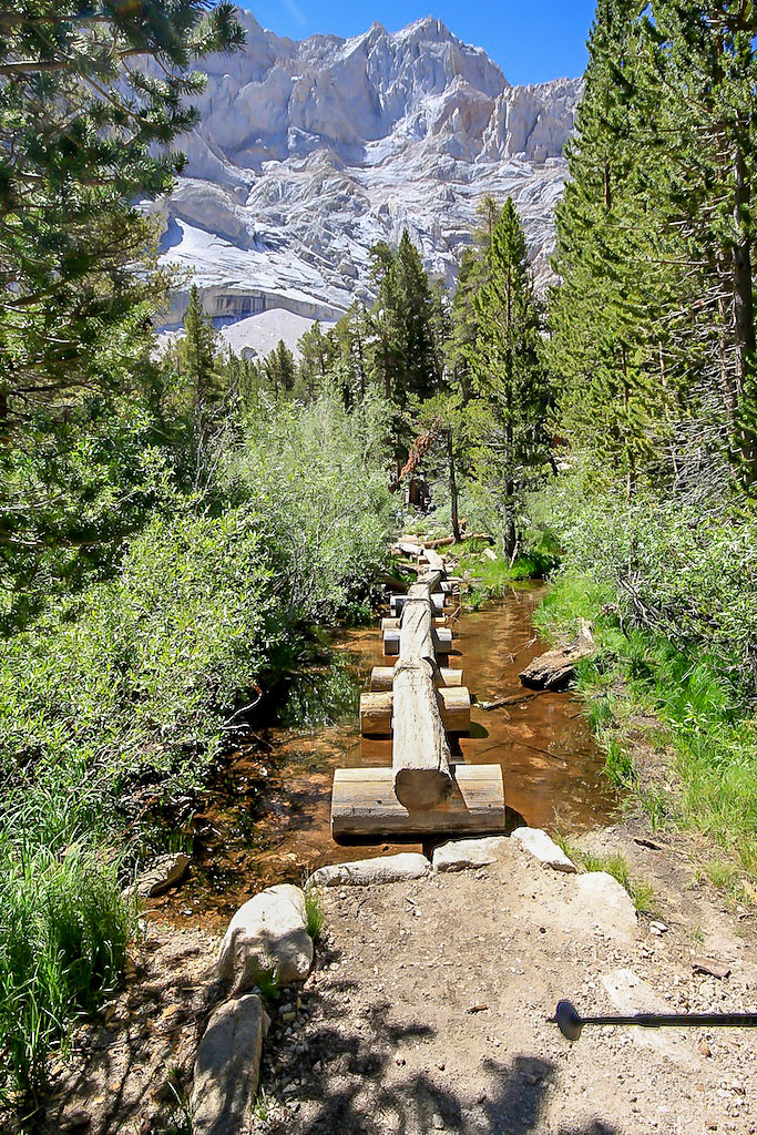 Mt. Whitney Trail on the way from Whitney Portals to Lone Pine Lake. (Photo courtesy of California Through My Lens) |
  Mt. Whitney Trail on the way from Whitney Portals to Lone Pine Lake. (Photo courtesy of We Go Round The World) |
 Mt. Whitney Trail on the way from Whitney Portals to Lone Pine Lake. (Photo courtesy A Thousand and One Miles Blogspot) |
 Mt. Whitney Trail on the way from Whitney Portals to Lone Pine Lake. (Photo courtesy of brian03104's blog) |
 Bruce Morgan at Lone Pine Lake (Union Pacific Railroad photo) |
|
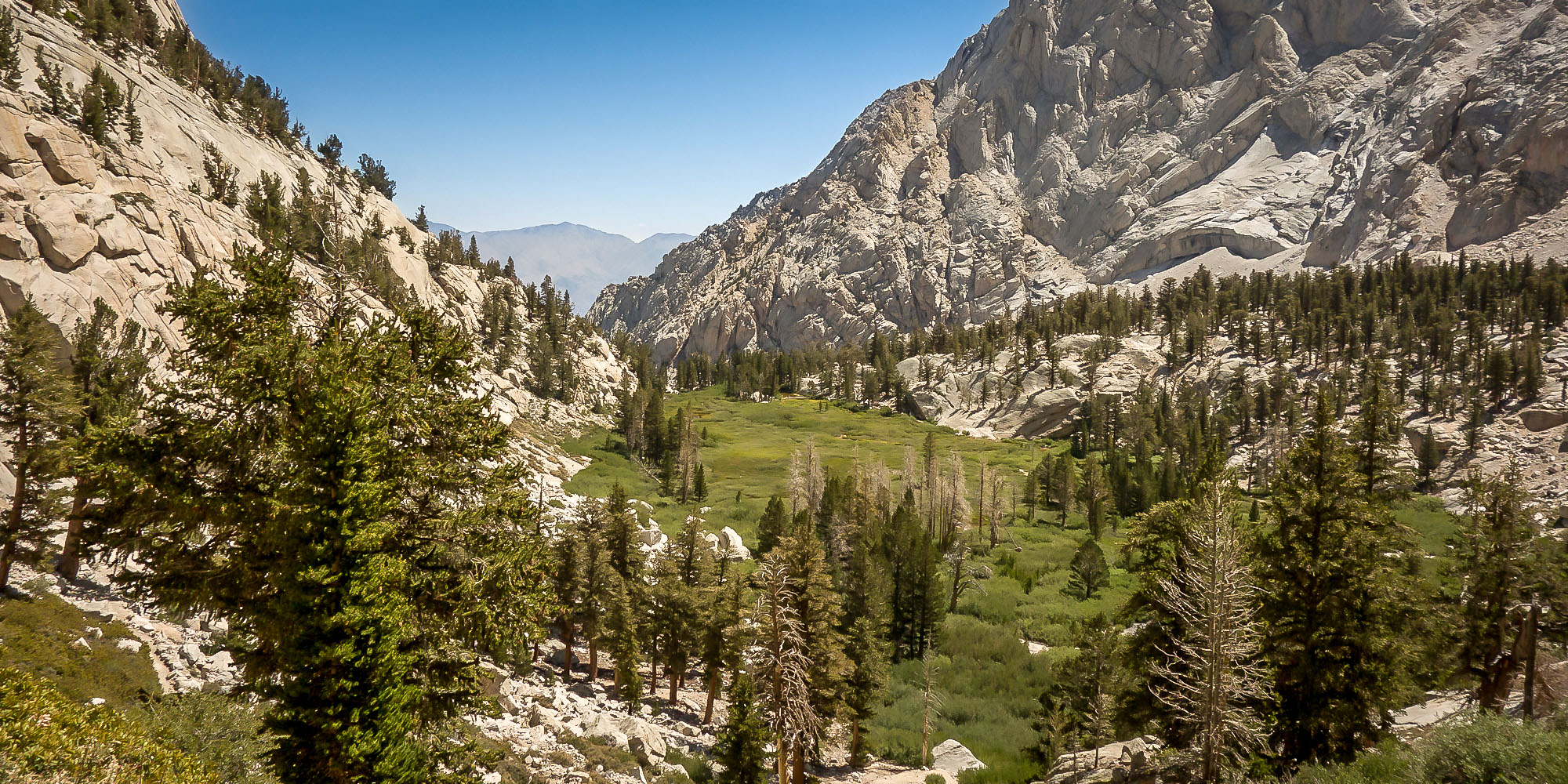
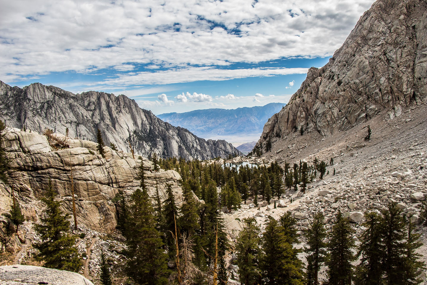 Looking back towards Lone Pine Lake and Owens Valley. (Photo courtesy of Escape Traveler) |
|
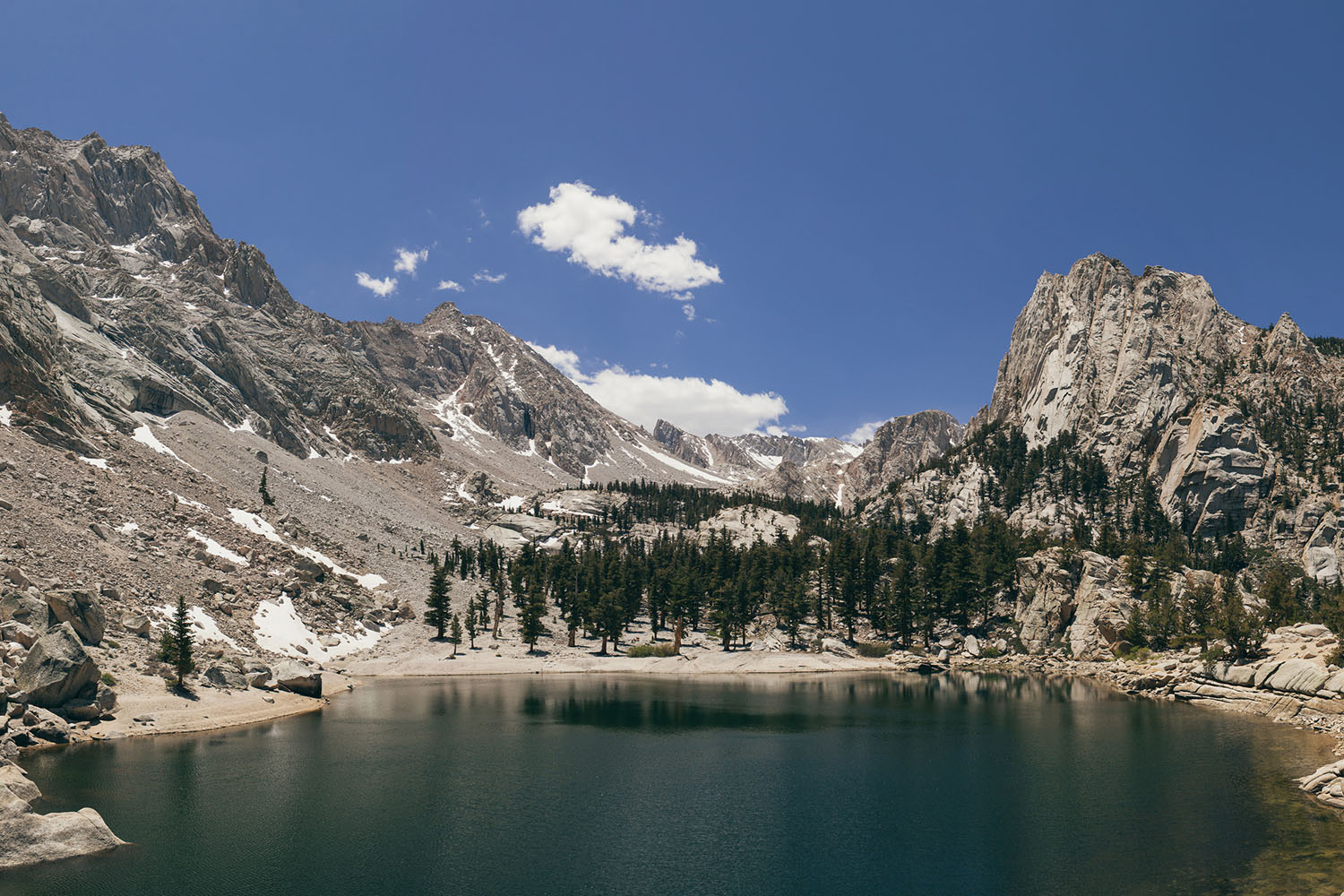
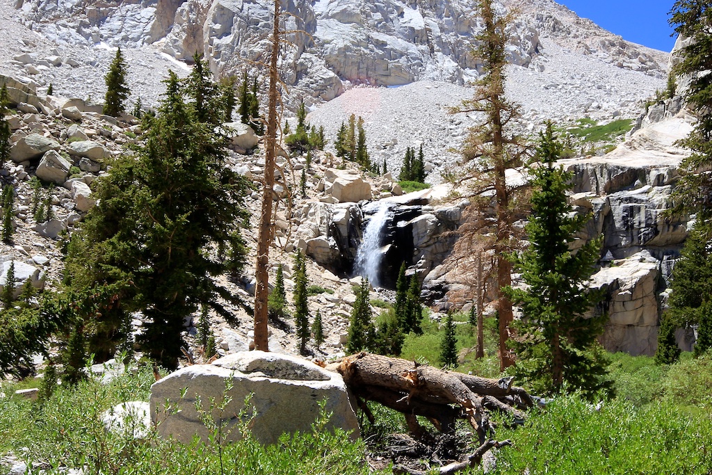
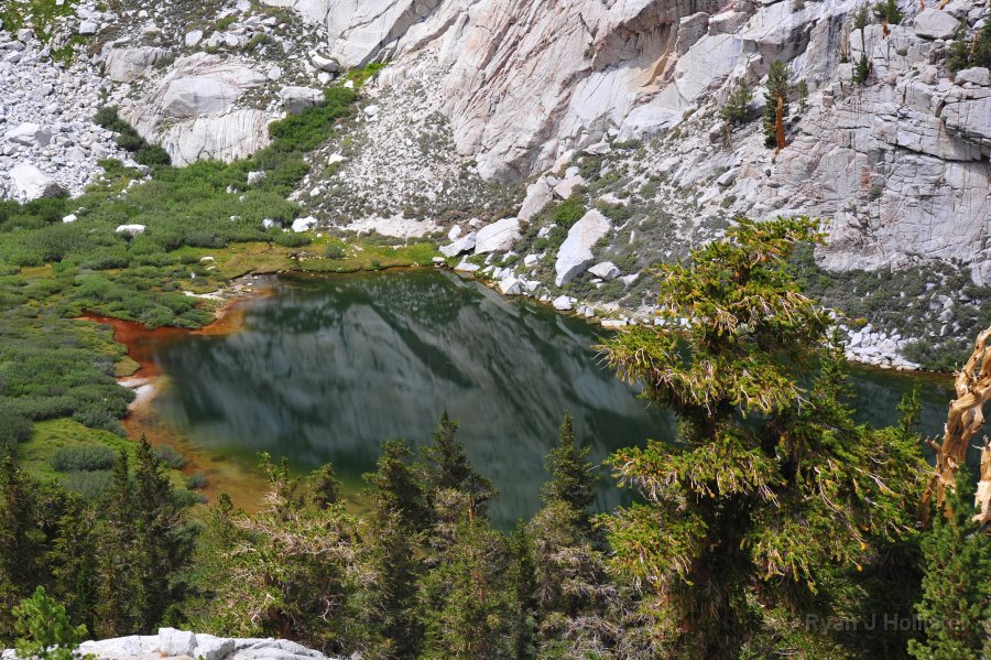
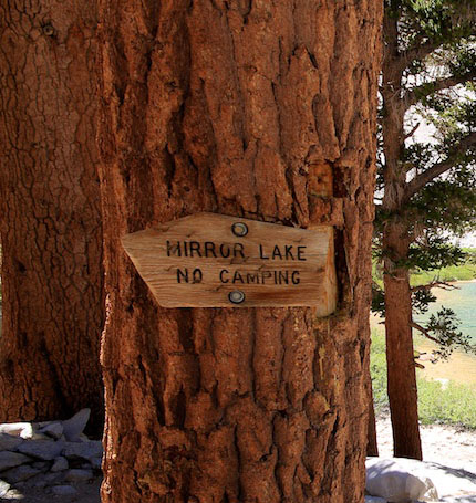 Mirror Lake |
|
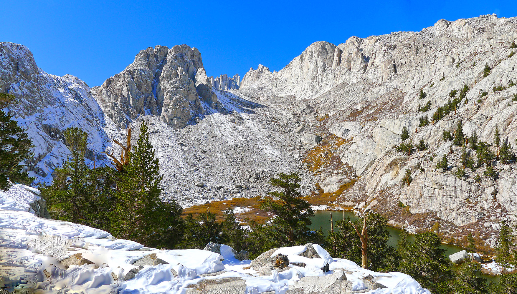
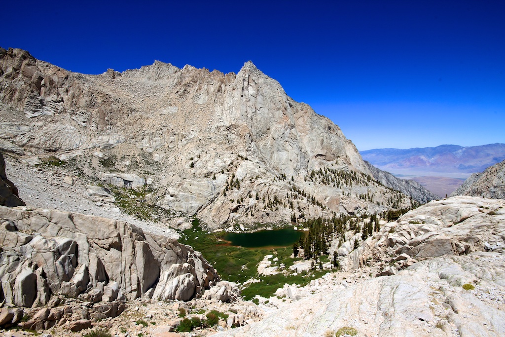
 Lower Boy Scout Lake area on the "mountaineers" route to Mt. Whitney (Photo courtesy of Escape Traveler) |
|
 Heading up the Mt. Whitney Trail away from Mirror Lake (Photo courtesy of Brad Spiess - I Hike San Diego) |
|
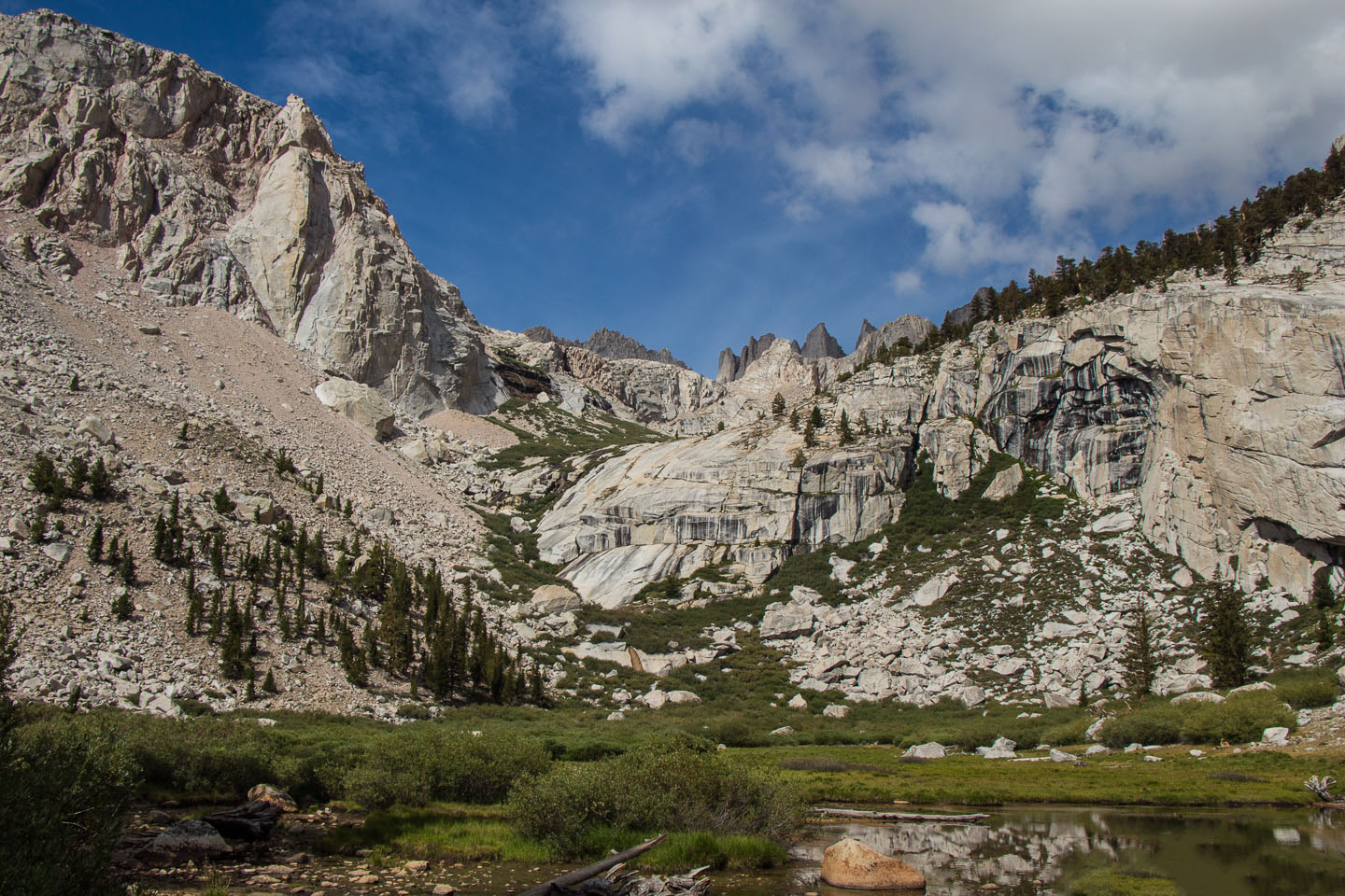
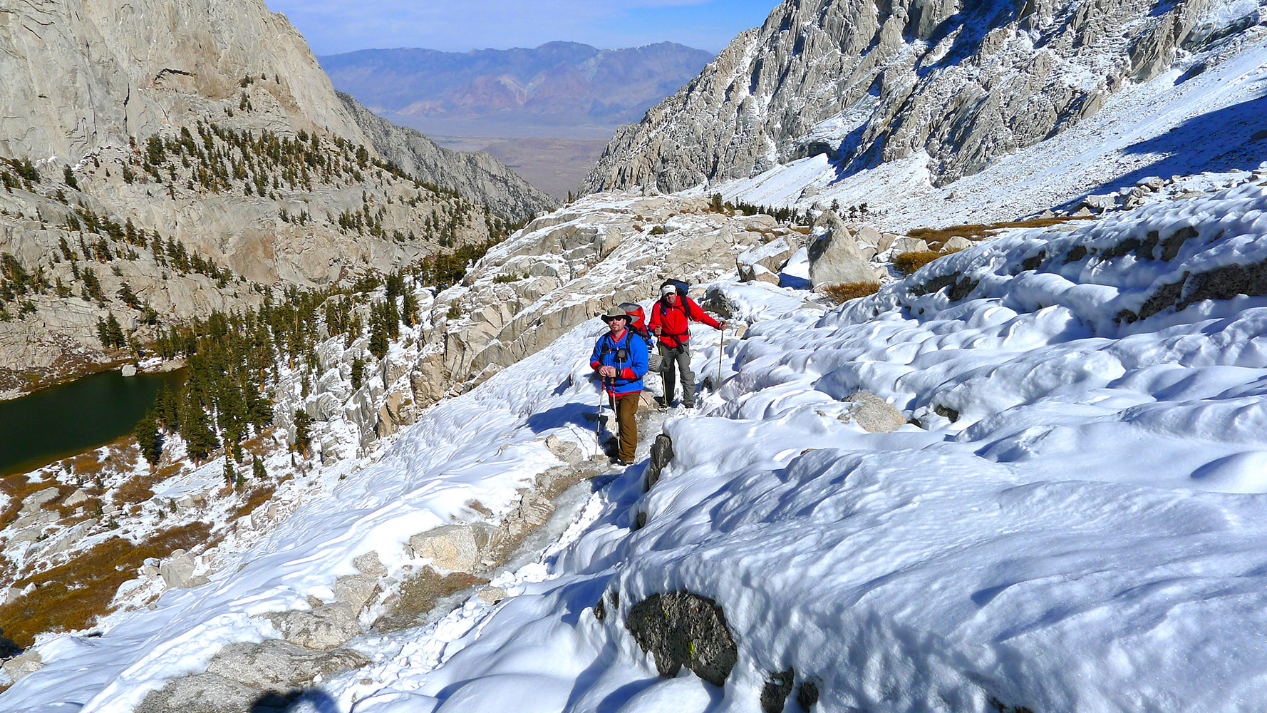
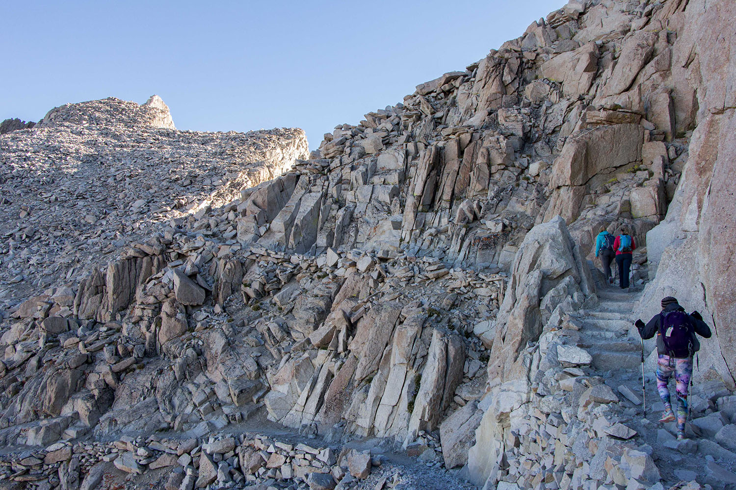
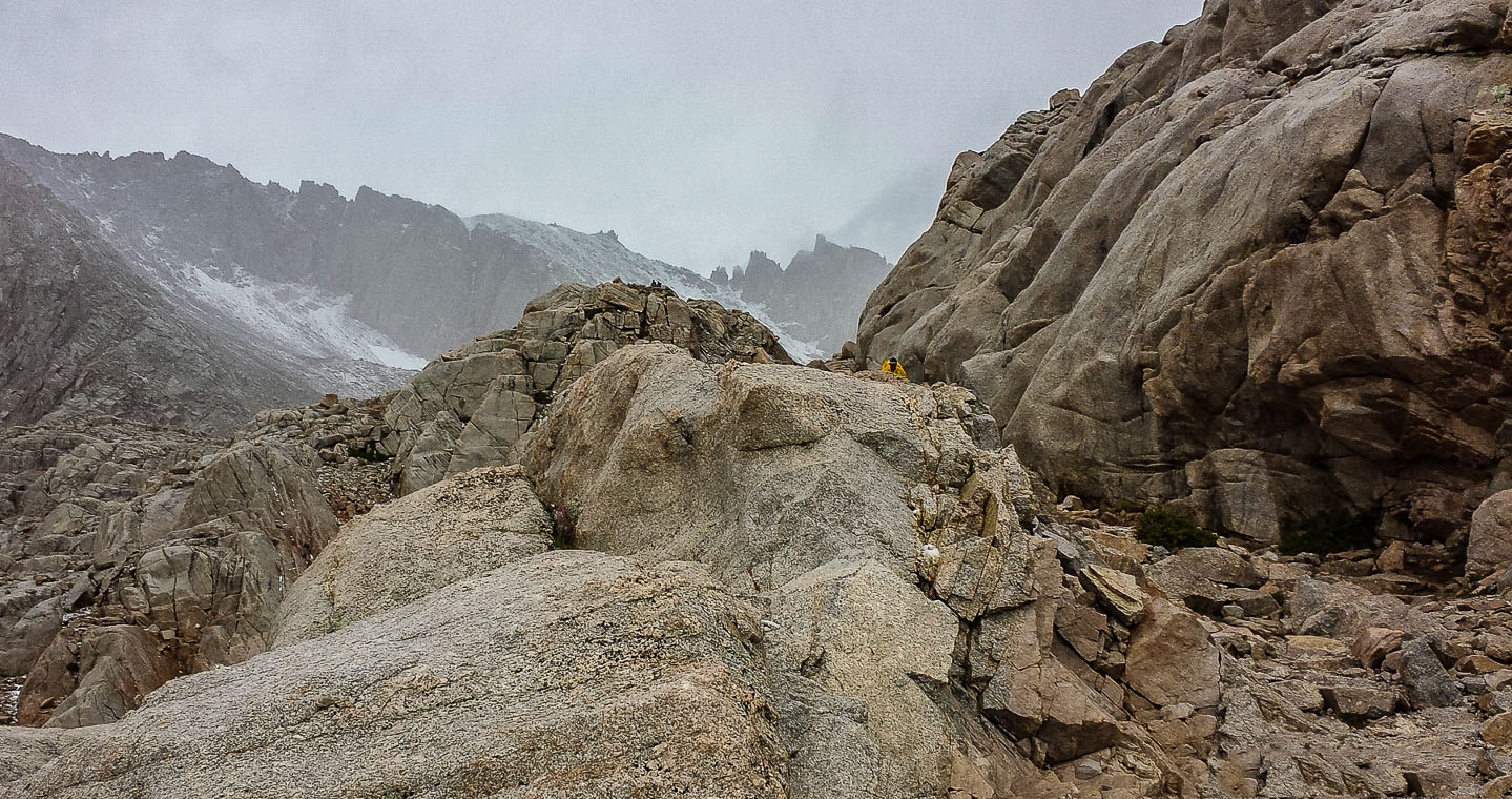
 The "Trail of Rocks" from Mirror Lake heading to Trail Camp |
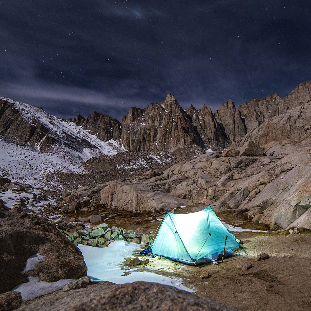
 Mt. Whitney Trail at Trail Camp at 12,000' |
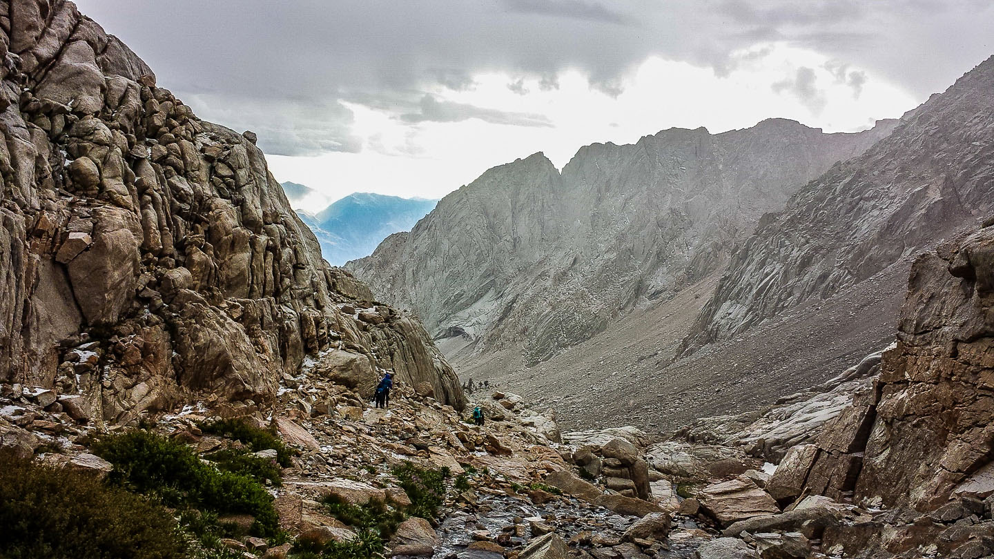
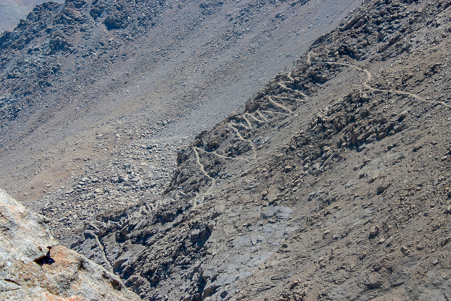
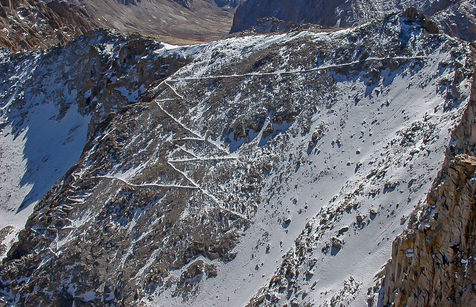
 Leaving Trail camp and heading towards the 99 switchbacks (left-center area of photo). (YouTube video of hikers climbing the 99 switchbacks up the Mt. Whitney Trail) - be sure to expand this file on YouTube so you can really see the people. |
|
 Looking up towards the section of the trail with the 99 switchbacks. (Photo courtesy of Quiet Is The New Loud) |
 Looking back at Trail Camp and Consultation Lake from the 99 switchbacks section of the Mt. Whitney Trail. (Photo courtesy of The Mountaineering Review Blogspot) |
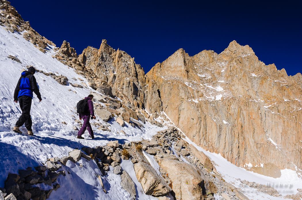
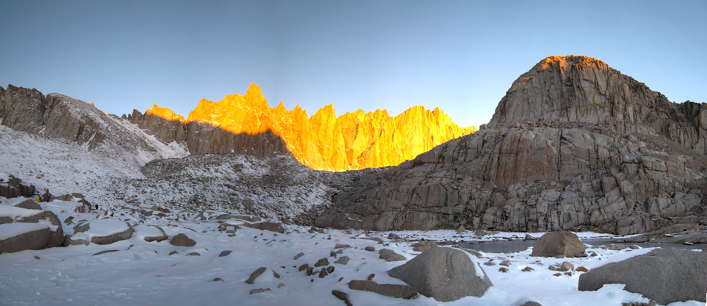
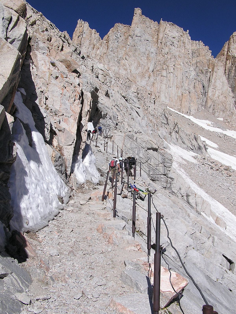 Mt. Whitney Trail at "weeping rock" at the start of the 99 switchback section of the trail on the way to Trail Crest. (Photographer unknown) |
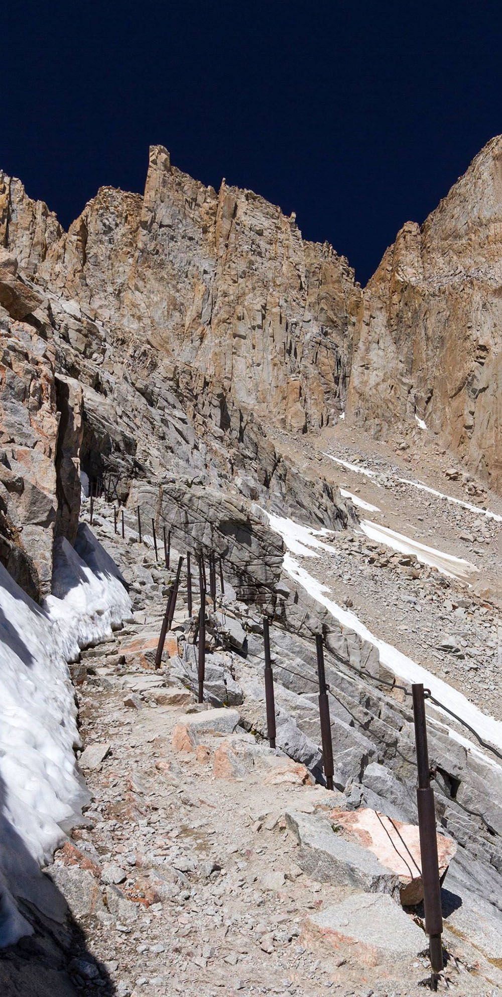 Mt. Whitney Trail at "weeping rock" at the start of the 99 switchback section of the trail on the way to Trail Crest. (Photographer unknown) |
 Mt. Whitney Trail at "weeping rock" on the 99 switchback section of the trail on the way to Trail Crest. |
|
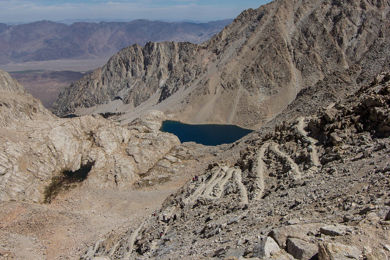 Looking on some of the 99 switchbacks, Trail Camp, and Consultation Lake. (Photo of Cooking in Tongues) |
 Nearing Trail Crest on the trek to the summit of Mt, Whitney (Photo of Cooking in Tongues) |
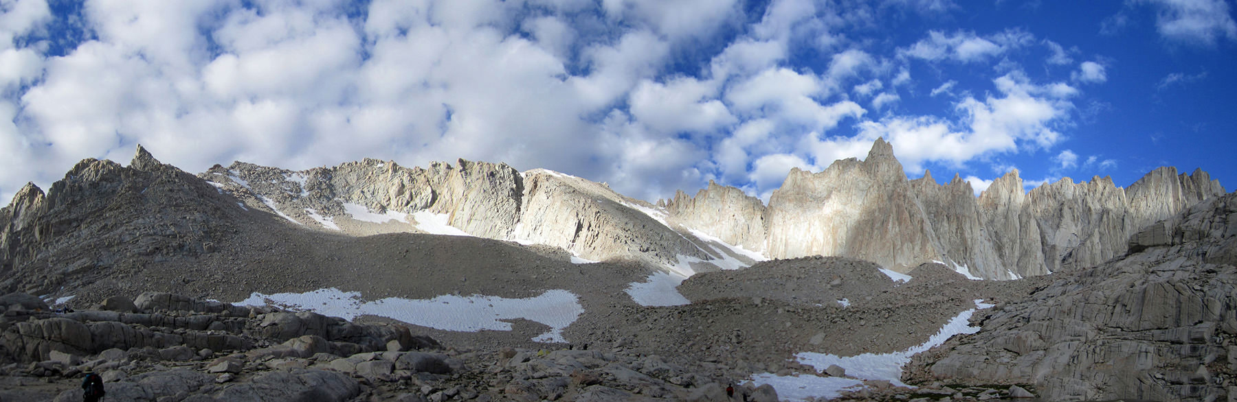
 Panorama from the 99 switchbacks of Consultation Lake, Trail Camp and Owens Valley. (Photo courtesy of Hiking Geek) |
|
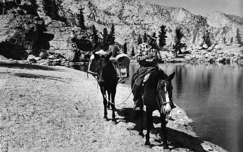
 Horseback riders heading up to Mt. Whitney on the Mt. Whitney Trail - 1930 (Fotocard courtesy of Rich McCutchan Archives) |
|
 Whitney Trail going up the 99 switchbacks. (photographer unknown) |
|
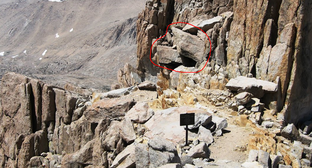
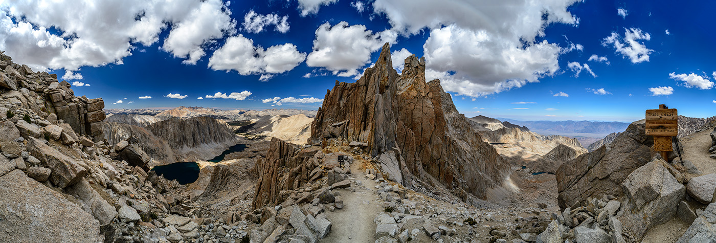 Trail Crest on the Mt. Whitney Trail - Photo courtesy Peter Burke |
|
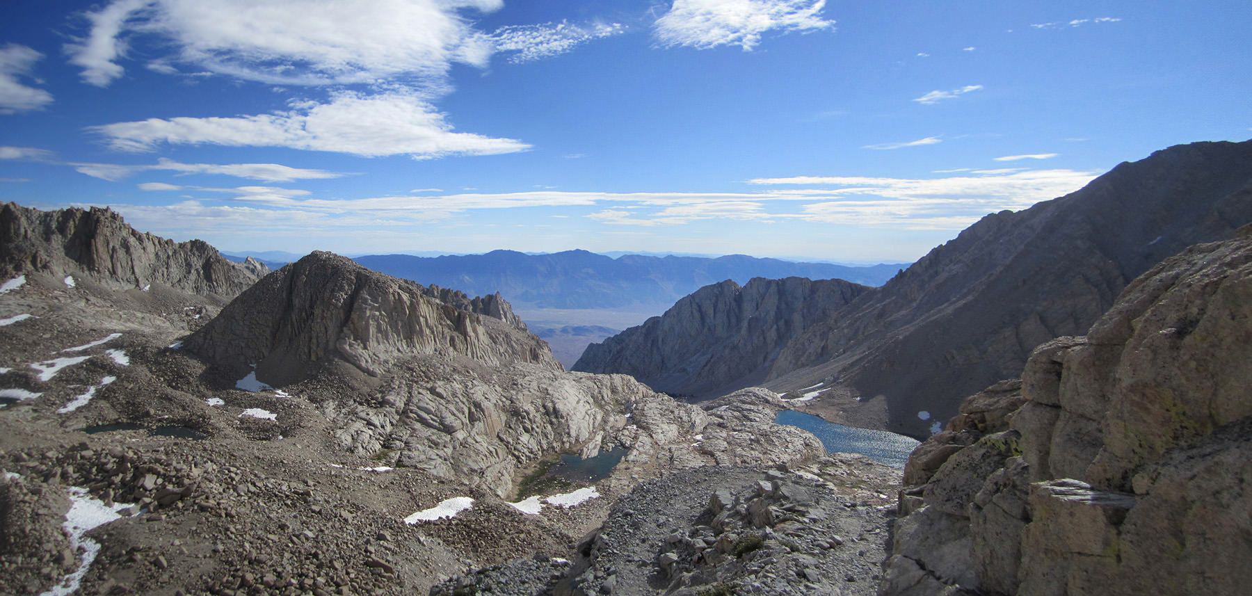
 View east towards Mt. Hitchcock and Hitchcock Lakes from Trail Crest. Kaweah Mountains in the background and the Kern River Gorge. (Photo courtesy of Panoramio - Elena S. Omelchenko) . |
|
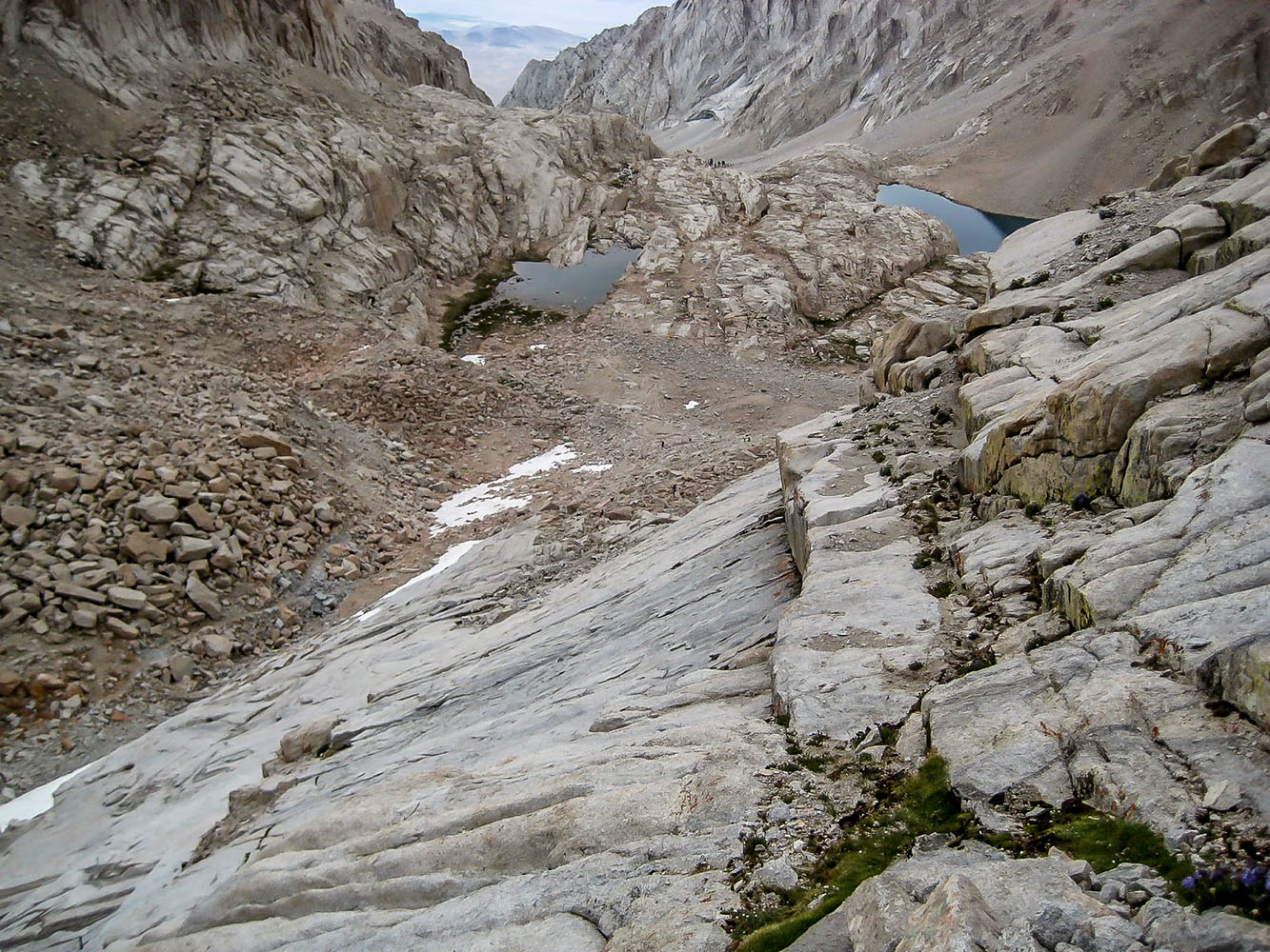
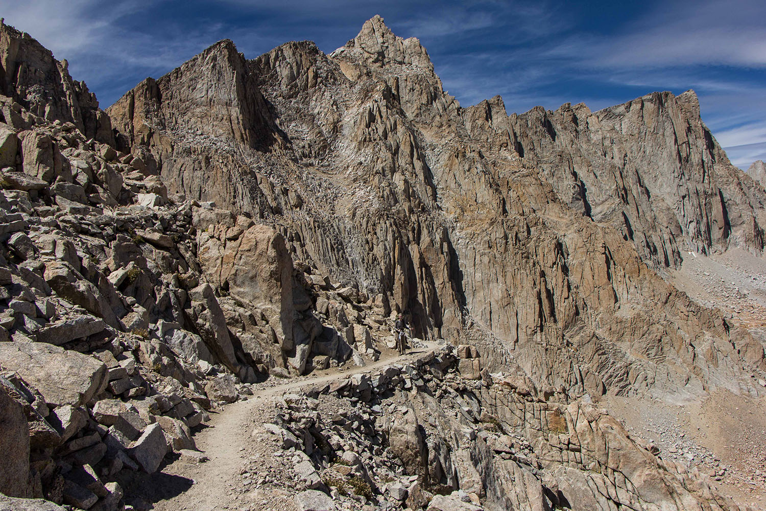
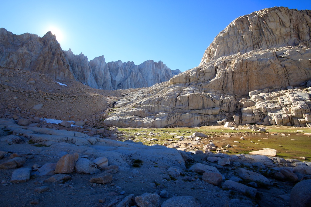
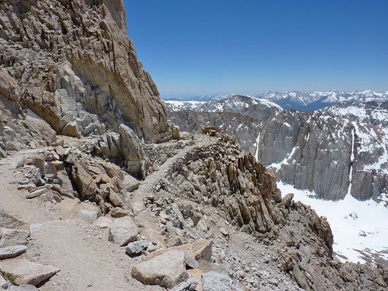
 Trail junction a few hundred feet from Trail Crest. |
 Heading towards Mt. Whitney at the Crabtree Ranger Station trail junction. (Photo of Cooking in Tongues) |
|
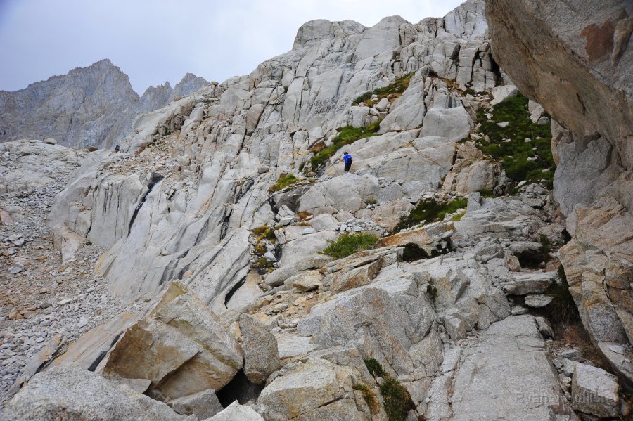
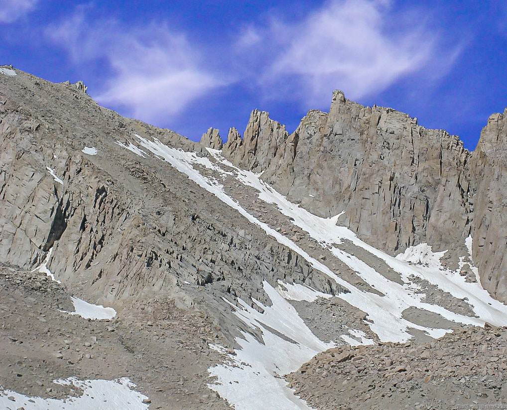
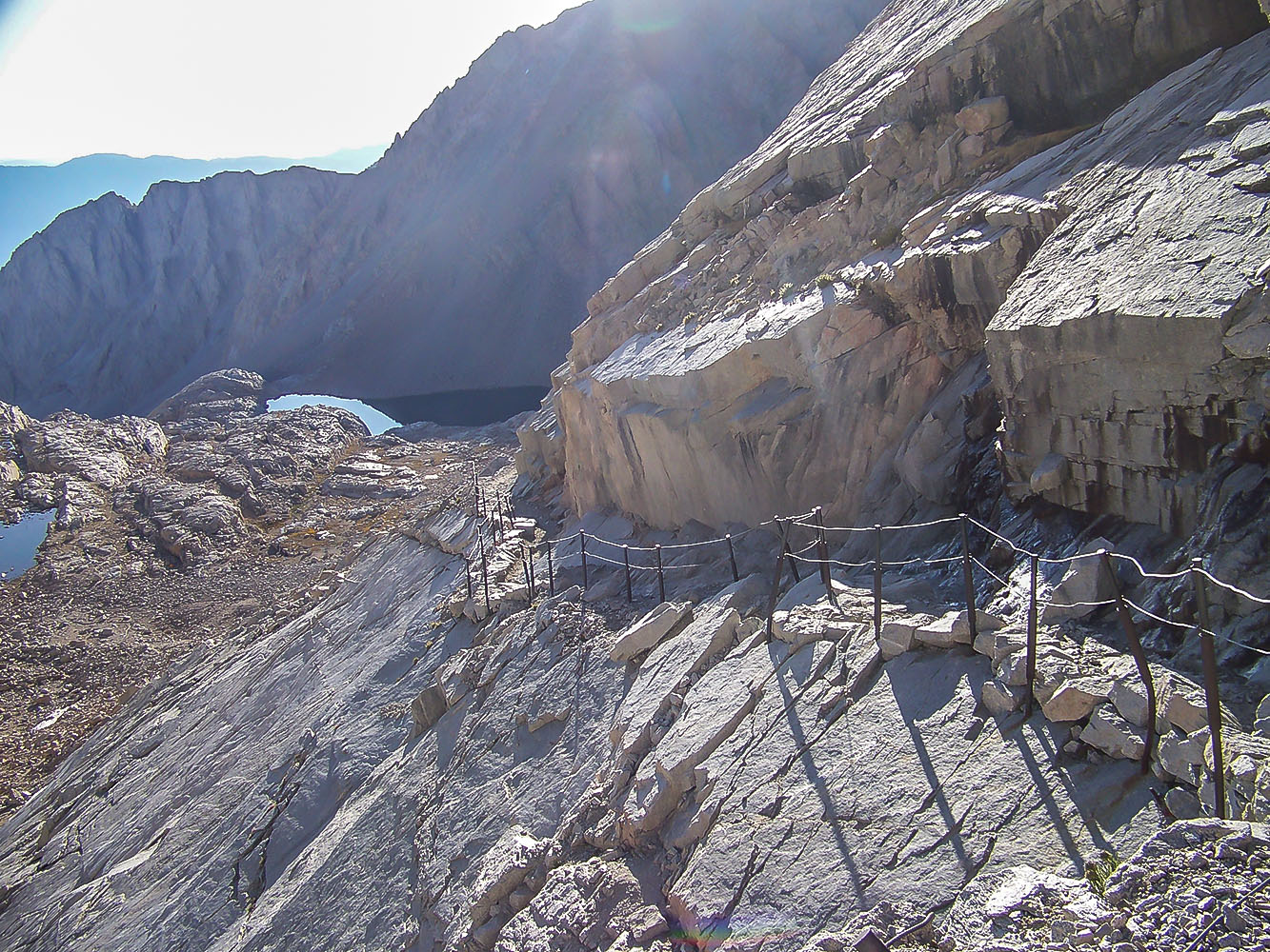
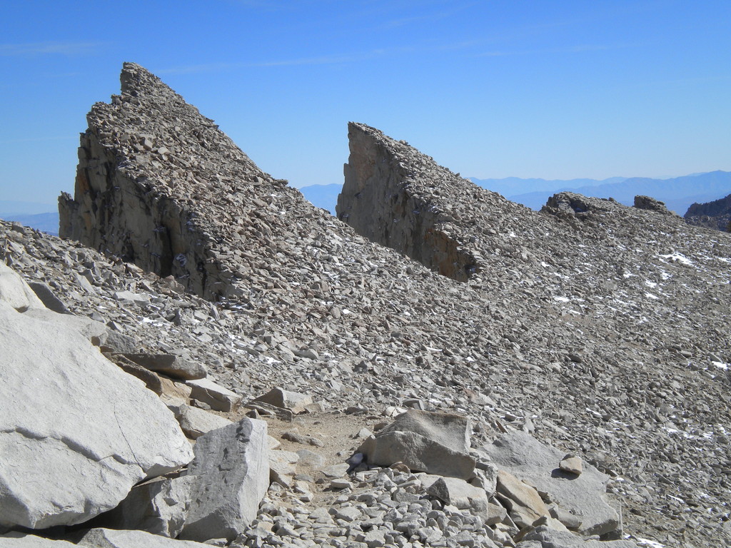
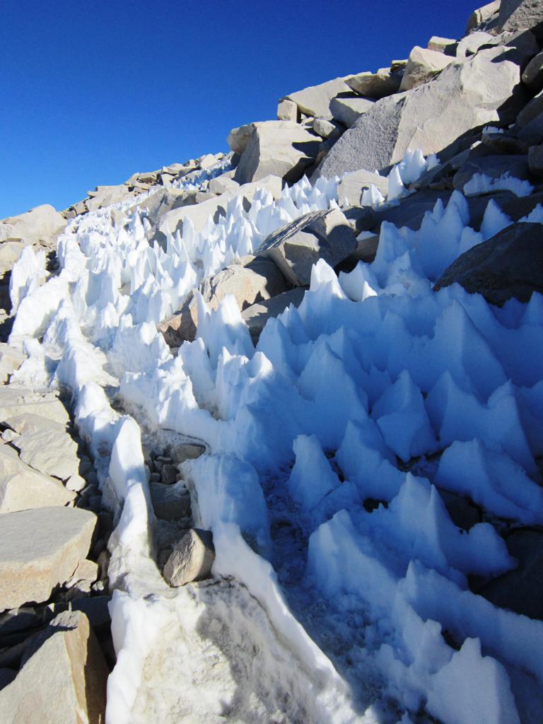
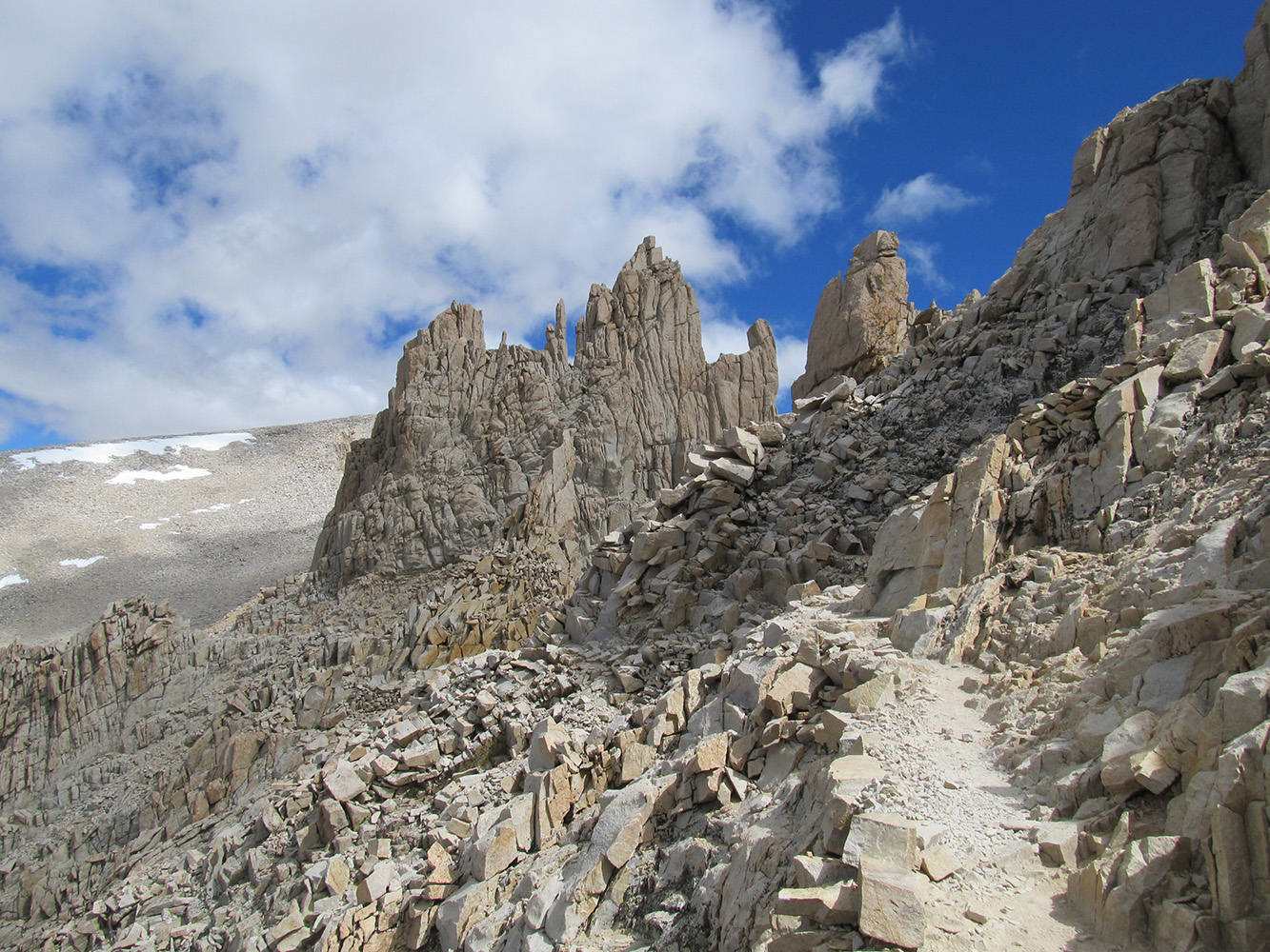 Whitney Trail going along the backside of the pinnacles. |
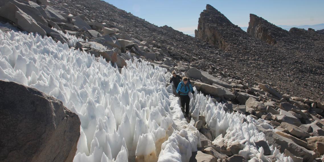 Hiking through the "snow towers (Penitentes)" on the Mt. Whitney trail on the back side of Mt. Whitney. (Photo courtesy of Without Baggage) |
|
 Looking back across the pinnacles on the trail to Mt. Whitney. (Photo courtesy of Summit Post) |
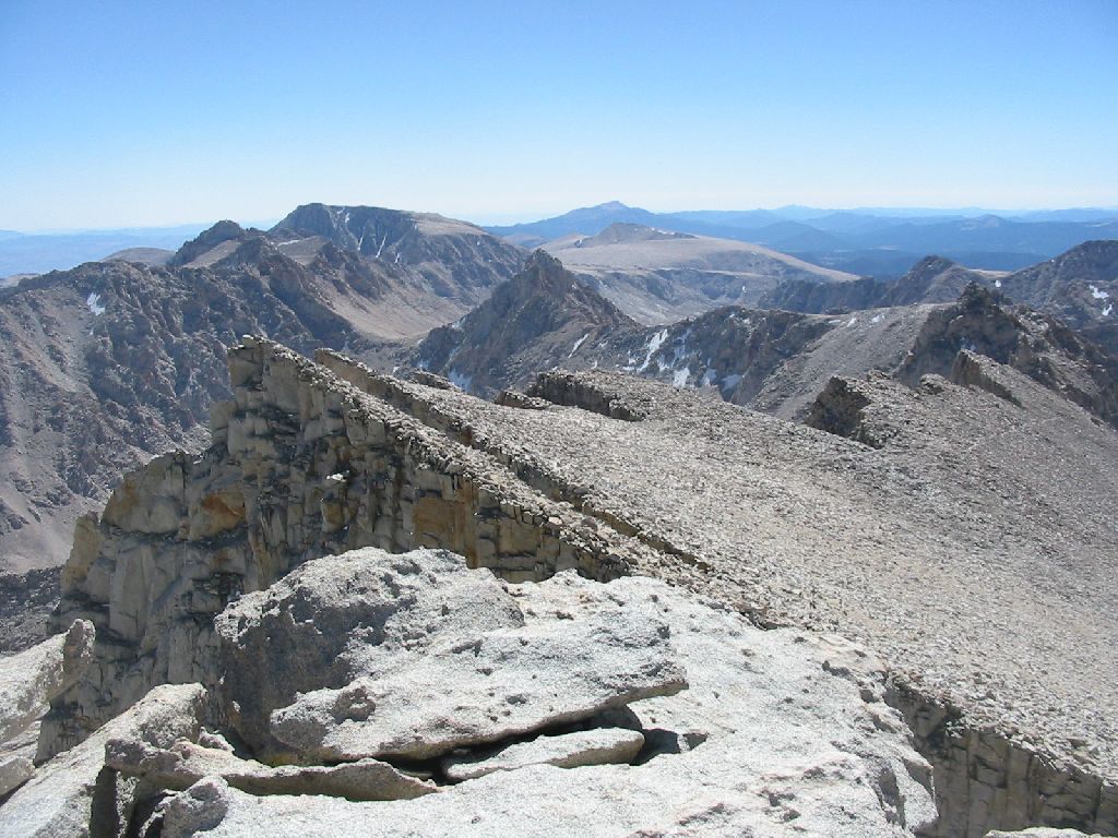 Looking back across the pinnacles from near the summit of Mt. Whitney. |
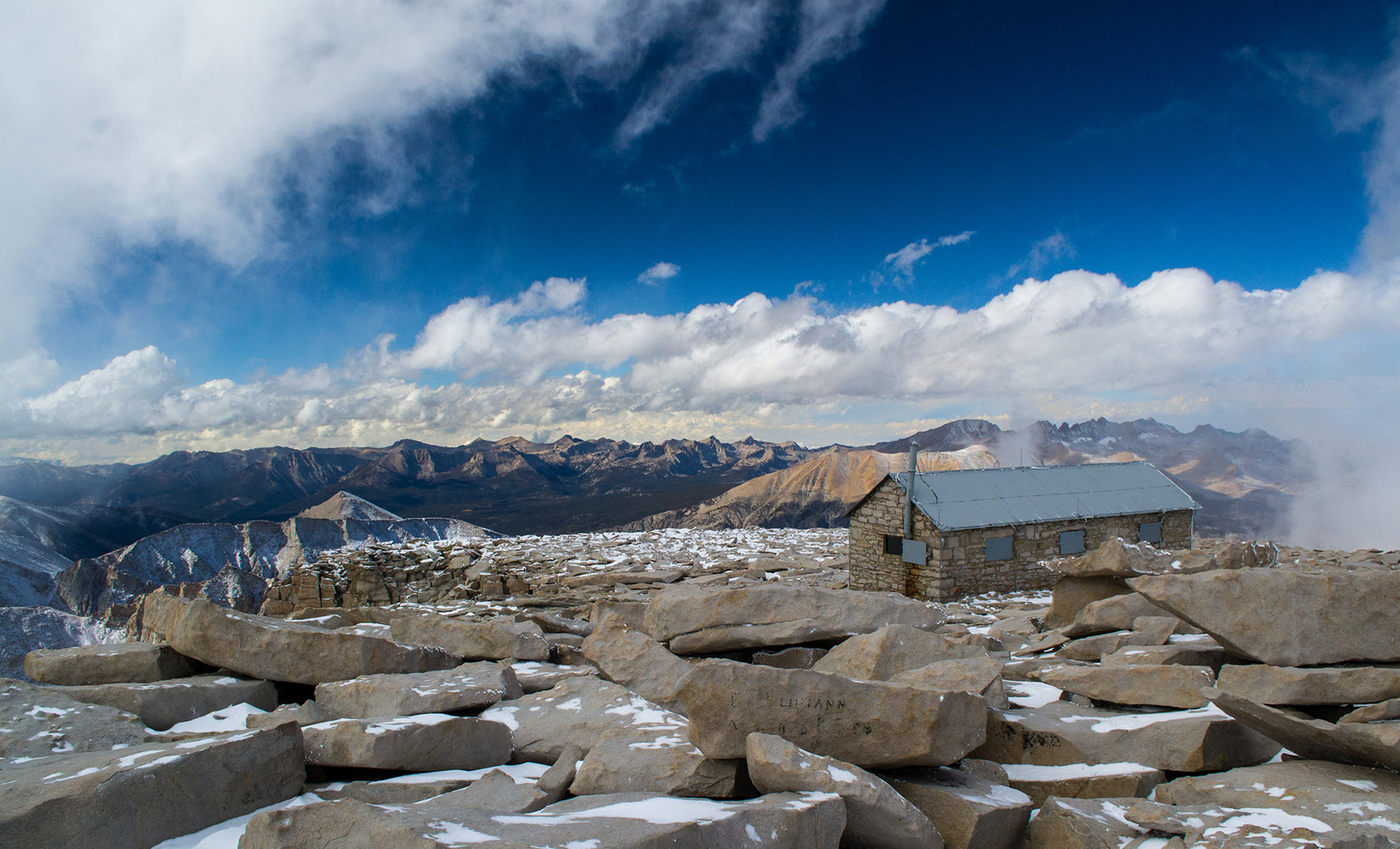
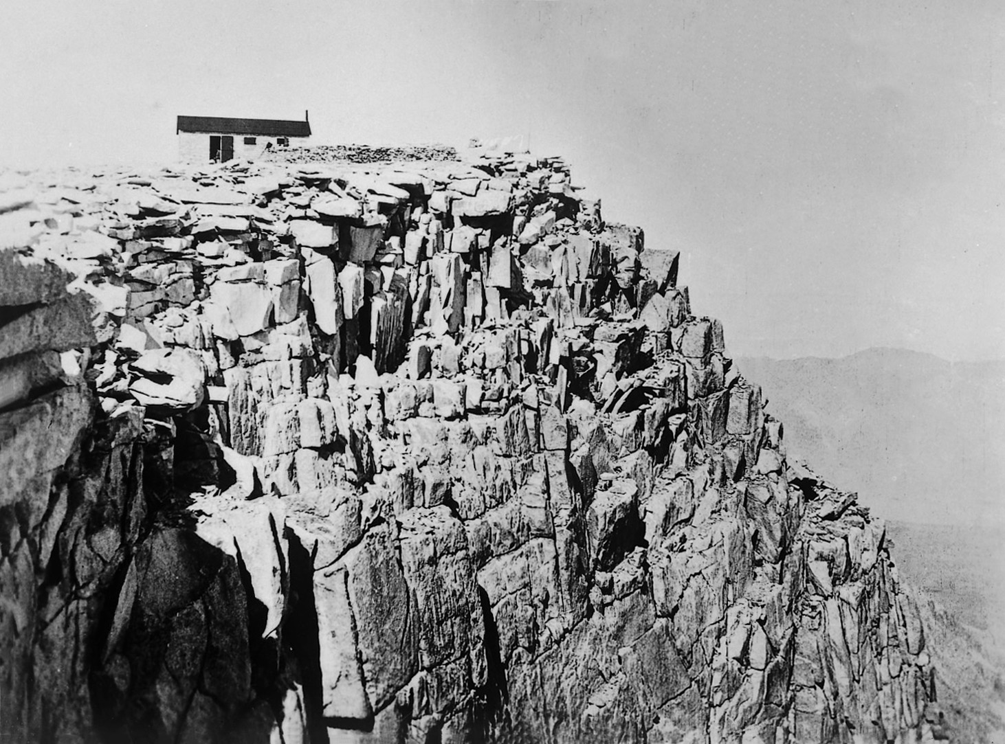
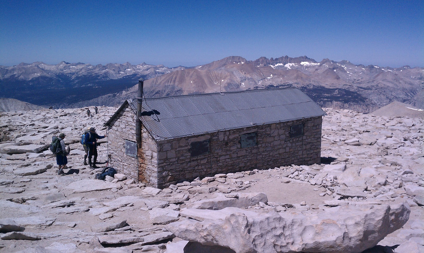 Smithsonian Hut on the summit of Mt. Whitney (Photo courtesy of galleryhip) |
|
| Nancy McEwen writes: Hi Ray, I went on a Sierra Club Cleanup Trip to Mount Whitney in 1969. I remember it because the Gambler Special Plane Crash had just happened in February. It was also during the Summer Monsoon season. We were almost to the top of Mount Whitney, when the heavens opened up (with a combination of rain and snow). A park ranger had come running up the side of the mountain to tell us it was going to be closed. The guides left me under an overhang, and promised to come back and get me (which they did). I think my Mom would have had a fit if she could have seen me all by myself on that ledge, with a 1000 foot drop beneath me (just like in CliffHanger). On the way back down the mountain, we had to cross the creek. It was so swollen that we did it by everybody linking arms, and practically swimming across it. The pack horses and mules were NOT happy campers. I remember spending time in the climber's hut, which turns out to be the Smithsonian Institute lodge. So apparently I made it all the way to the top. I remember the doctor's wife had her legs give out, and had to be taken down the mountain on horseback. That trip was diverted to the Kennedy Peak area, where we actually lost a climber, a 16 year old boy. I was the one with heart problems - and had some trouble in the rarified air. I was busy proving to myself that I was just like everybody else ... apparently a lot of people with heart murmurs do just that, climb mountains. Unfortunately, I did not take my camera with me, so I cannot add any photos. We did pack over 100 trash bags off the mountain, and most notably, a set of very rusty bedsprings. I don't know if you are in contact with anybody else who went on that wonderful trip, but I thought I would share my memories with you. Nancy McEwen Mt. Whitney climber - 1969 age 16 July 8, 2016 |
|
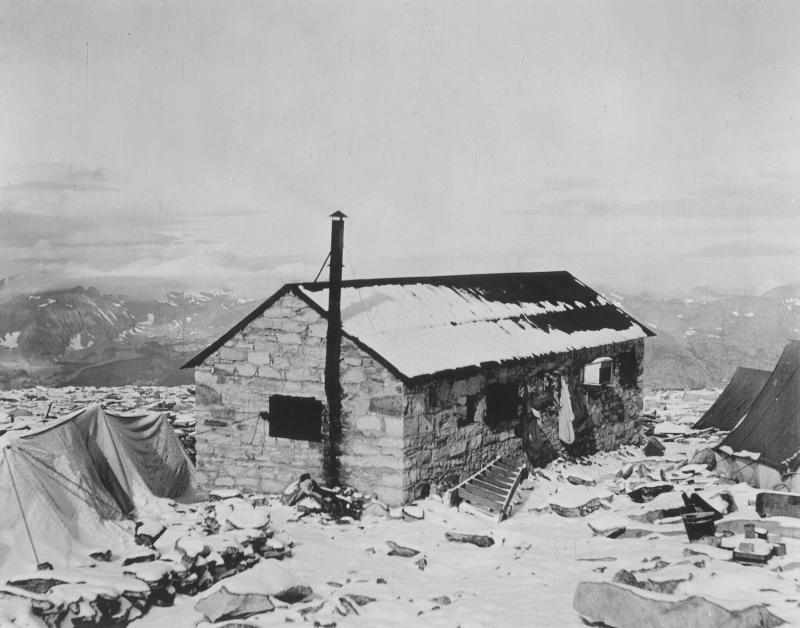 Smithsonian Hut on the summit of Mt. Whitney - 1909 (Smithsonian Institute Archives) |
 Smithsonian Hut on the summit of Mt. Whitney - 1909 (Smithsonian Institute Archives) |
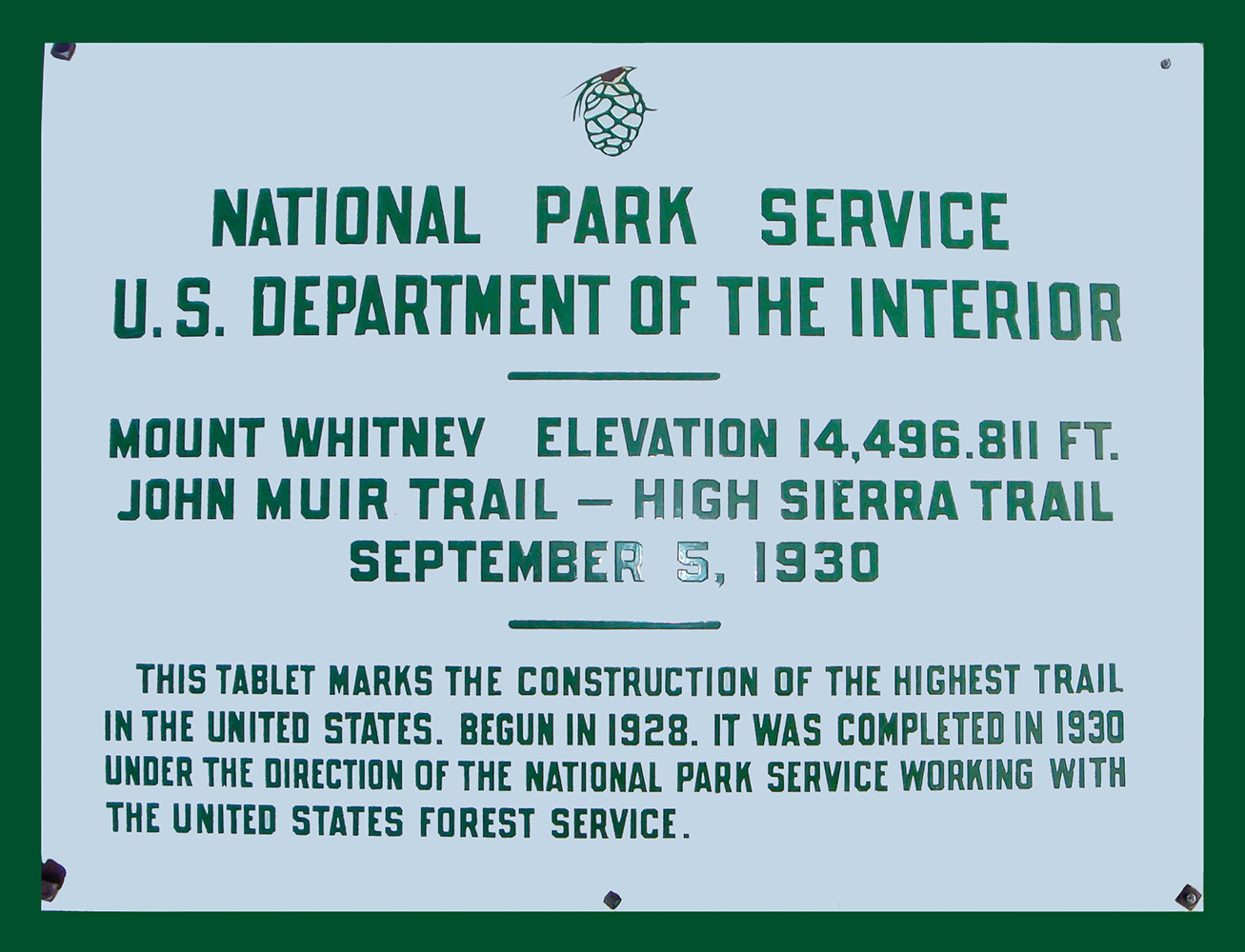 Marker on the summit of Mount Whitney. |
|
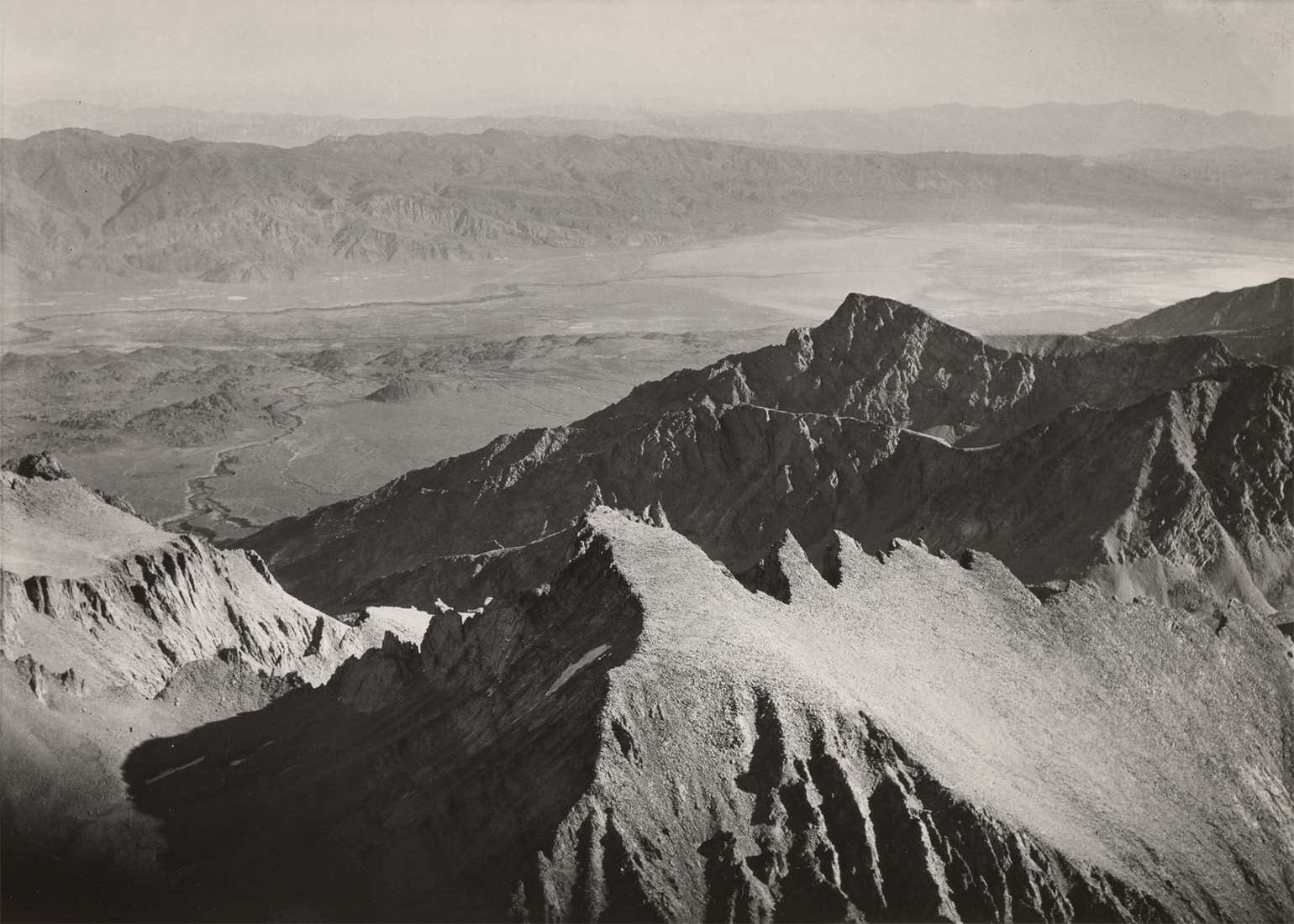
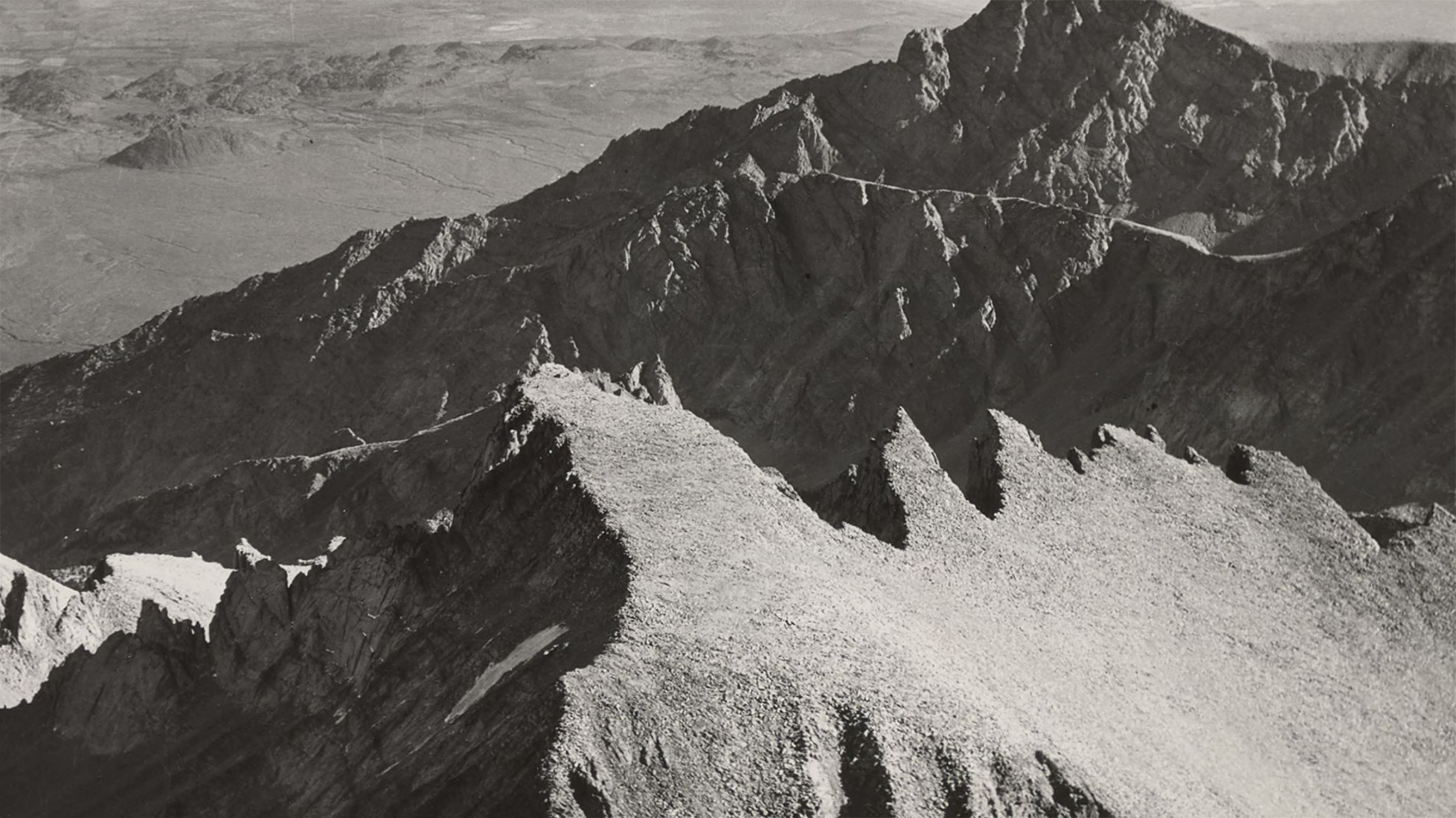
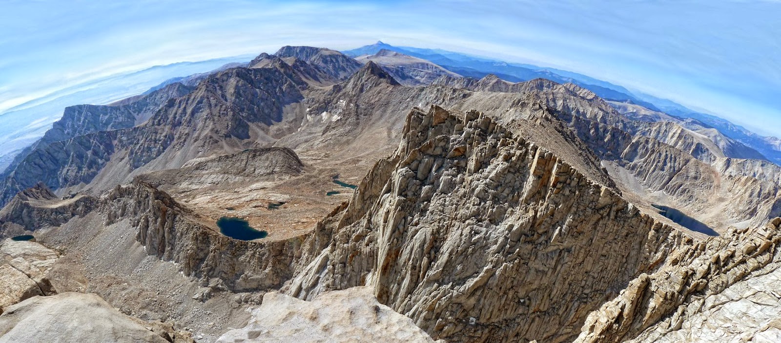 Panoramic view from the summit of Mt. Whitney looking due south. Mt. Langley is in the near center left of the photo. (Photo courtesy of My Trail Mixx) |
|
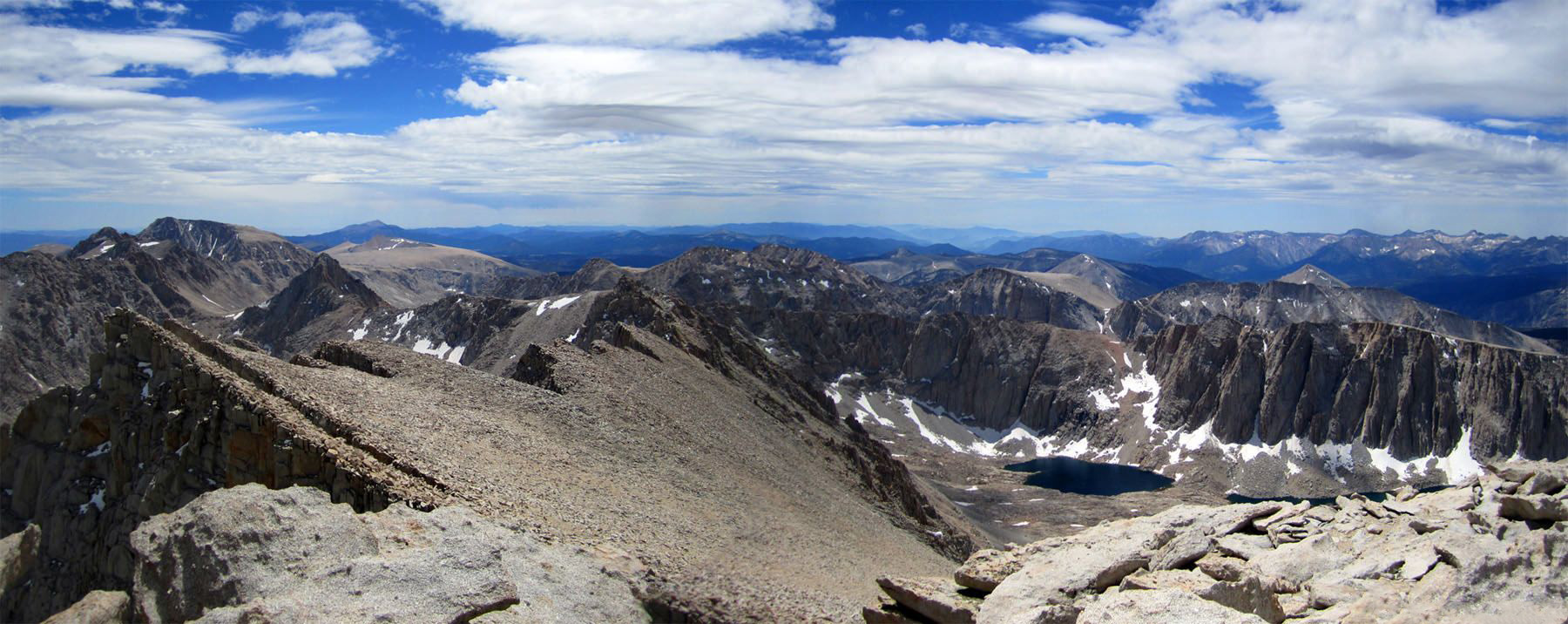 Panorama view south along the eastern backbone of the Sierra Nevada towards Mt. Langley (left) and Mt. Hitchcock and Hitchcock Lakes (right). (Photo courtesy of Hiking Geek) |
|
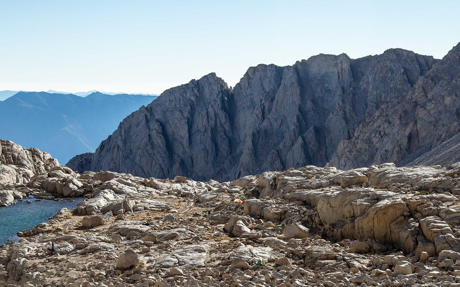
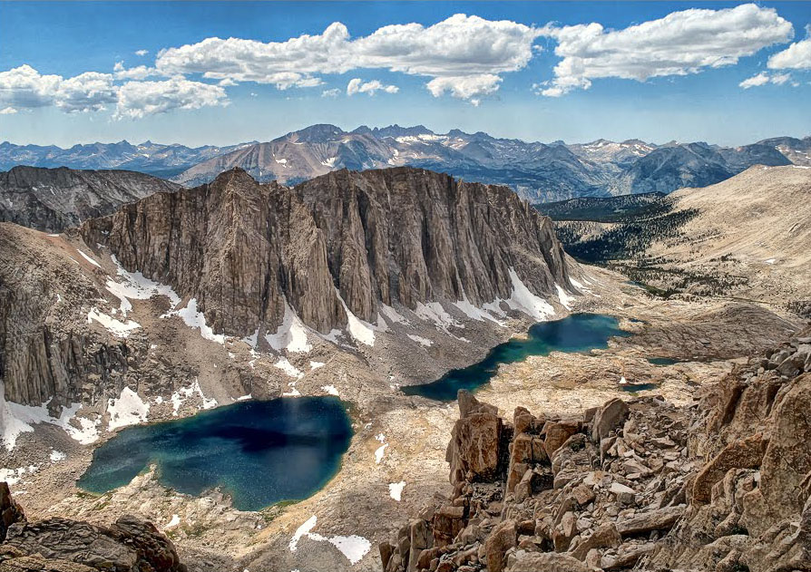
 Aerial view of Mt. Whitney, Consultation Lake and Mirror Lake (Photo courtesy Ed Cisnalis) |
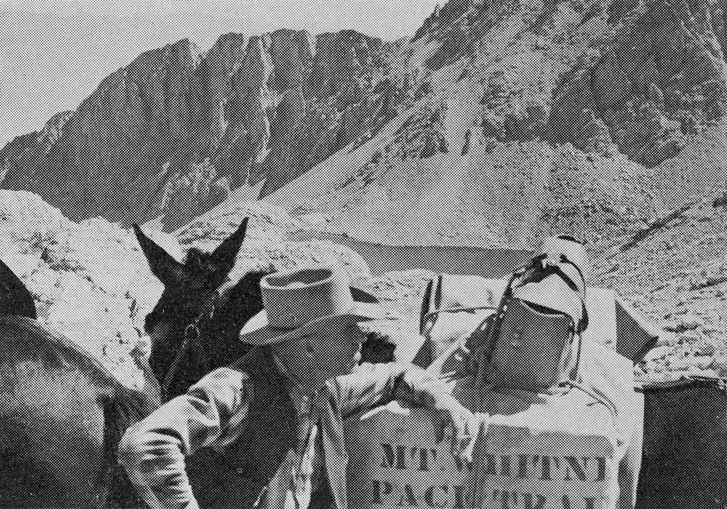
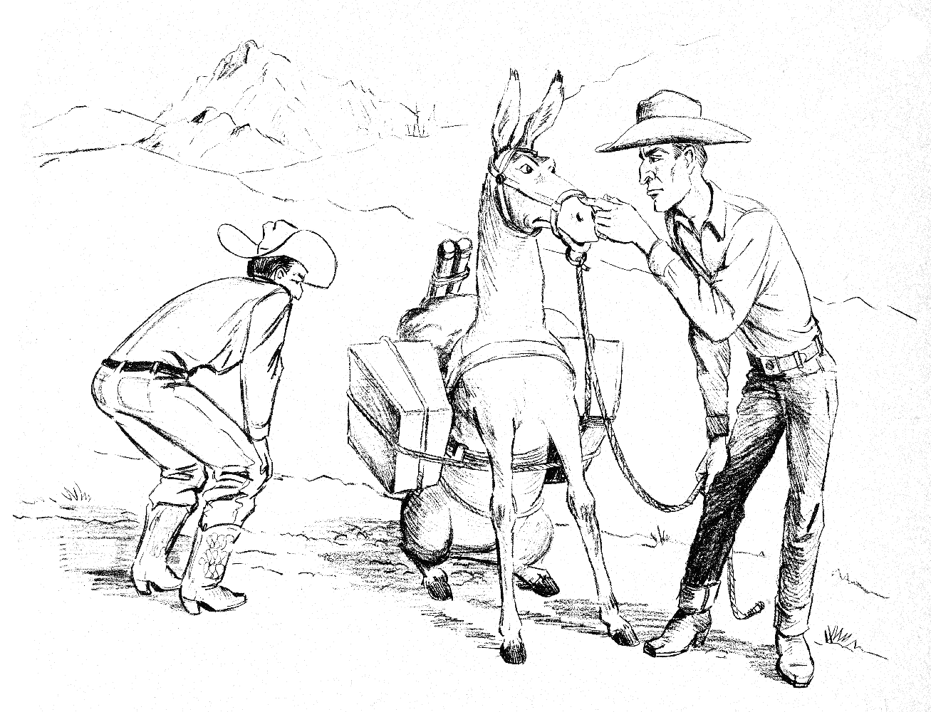
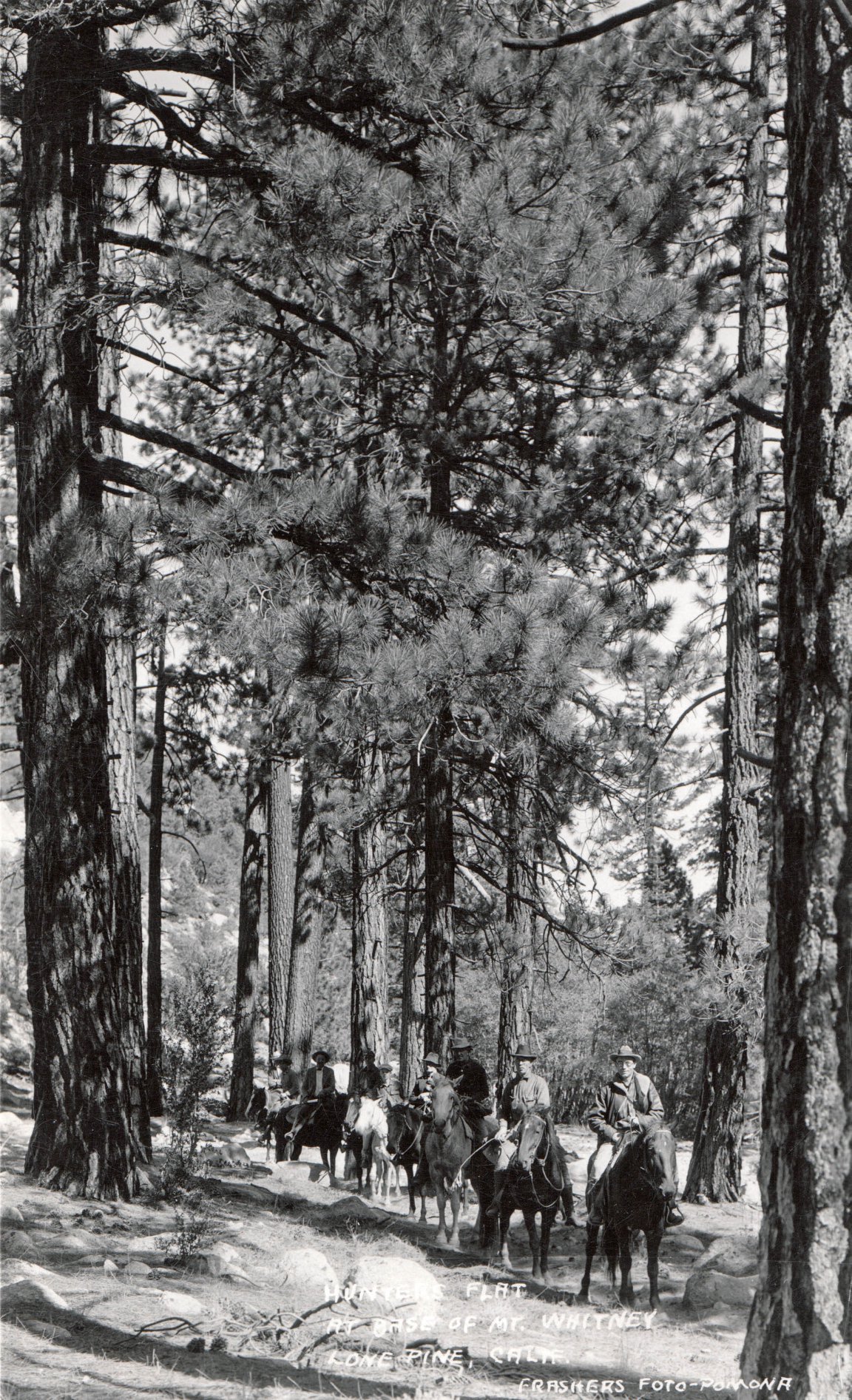 Pack outfit at Hunter's Flat at the Base of Mt. Whitney - a few years before the Whitney Portal Road was opened. |
Photographs courtesy of Tales Along El Camino Sierra - Dave Woodruff (Photos and text courtesy of Dave Woodruff) |
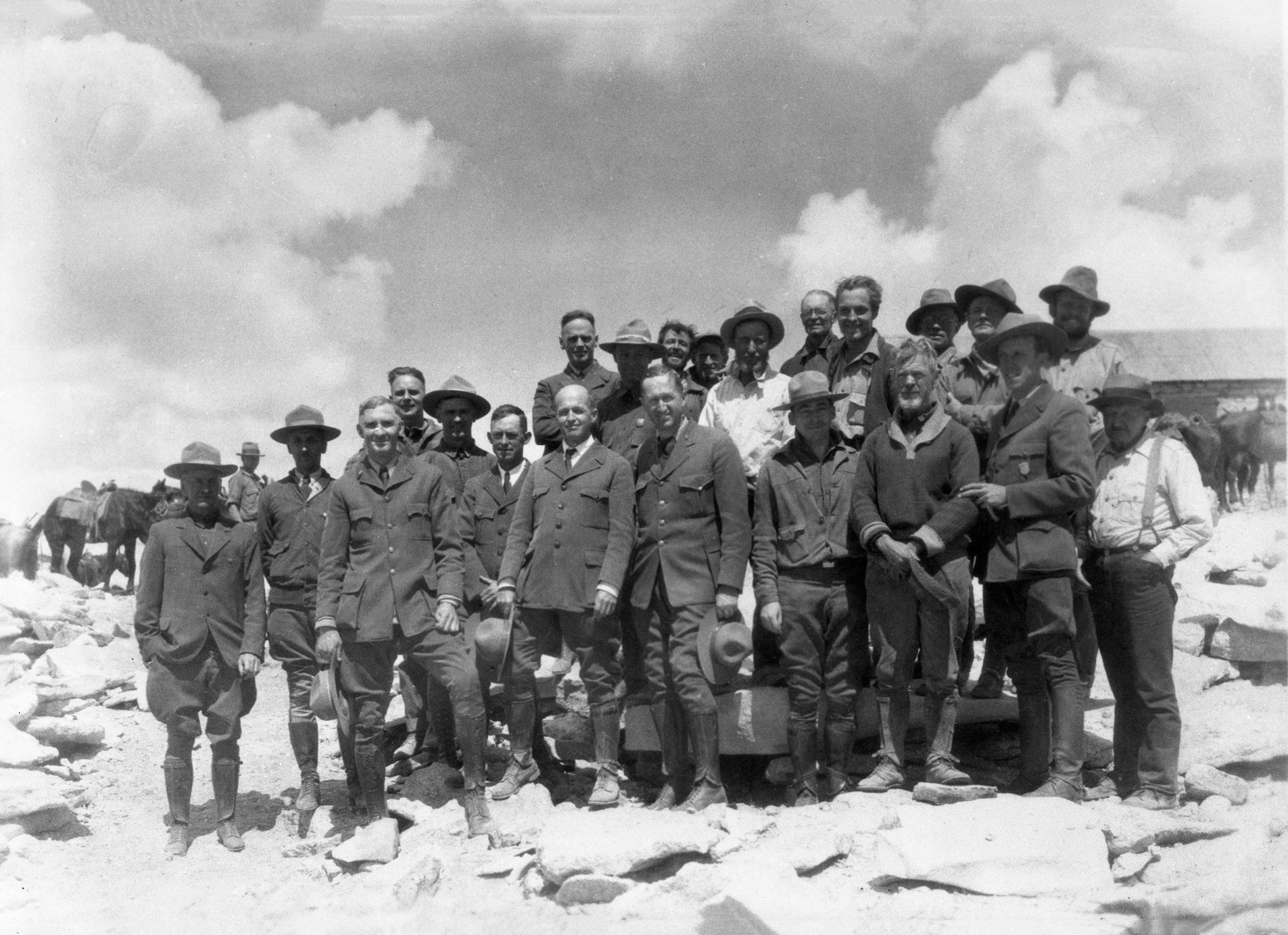 Photo is a celebration of National Park Service Staff on the celebration of the "new" trail to the summit of Mt. Whitney in 1930. This picture has a few Eastern Sierra "heavy-weights" in it. Center of photo front road, hat in hand, is Bishop, CA raised Horace Albright, who at this time, was the Director (the main guy) of the National Park Service. Front row all the way to left, hands on thighs is Colonel John White, Superintendent of Sequoia AND later, Death Valley National Monument. And back row, 2nd from the right, is of course our Eastern Sierra favorite-mountaineer Norman Clyde. |
|  Photo of a few members of hardworking trail crew itself. |
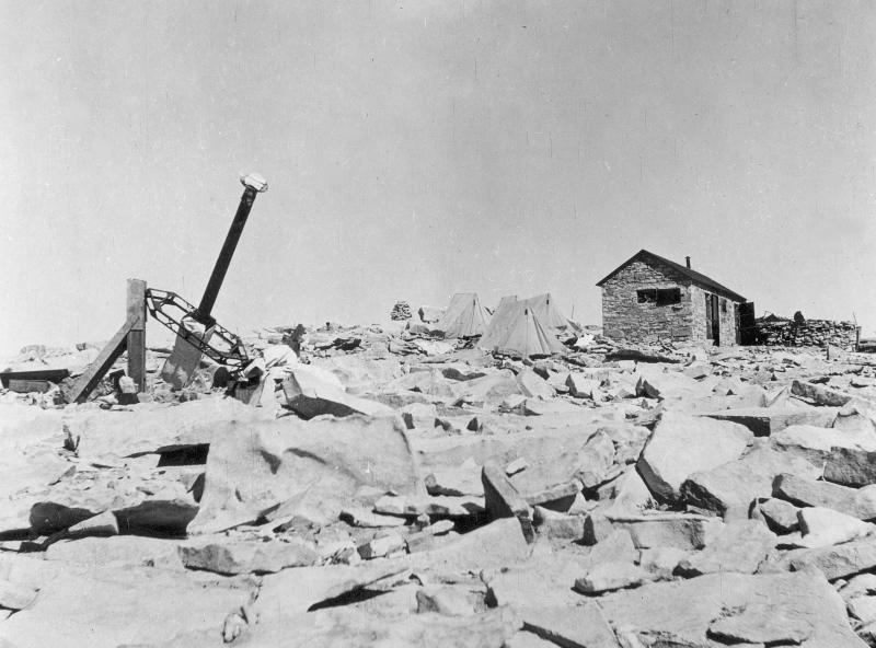
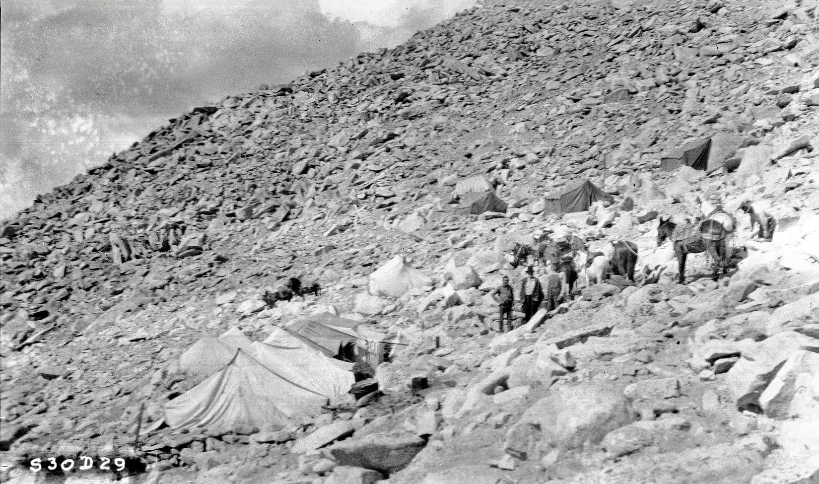 Photo is the trail crew camp...at 13,600' about 900' below the summit. |
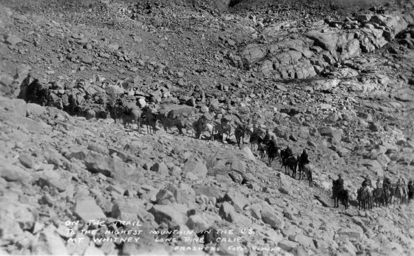
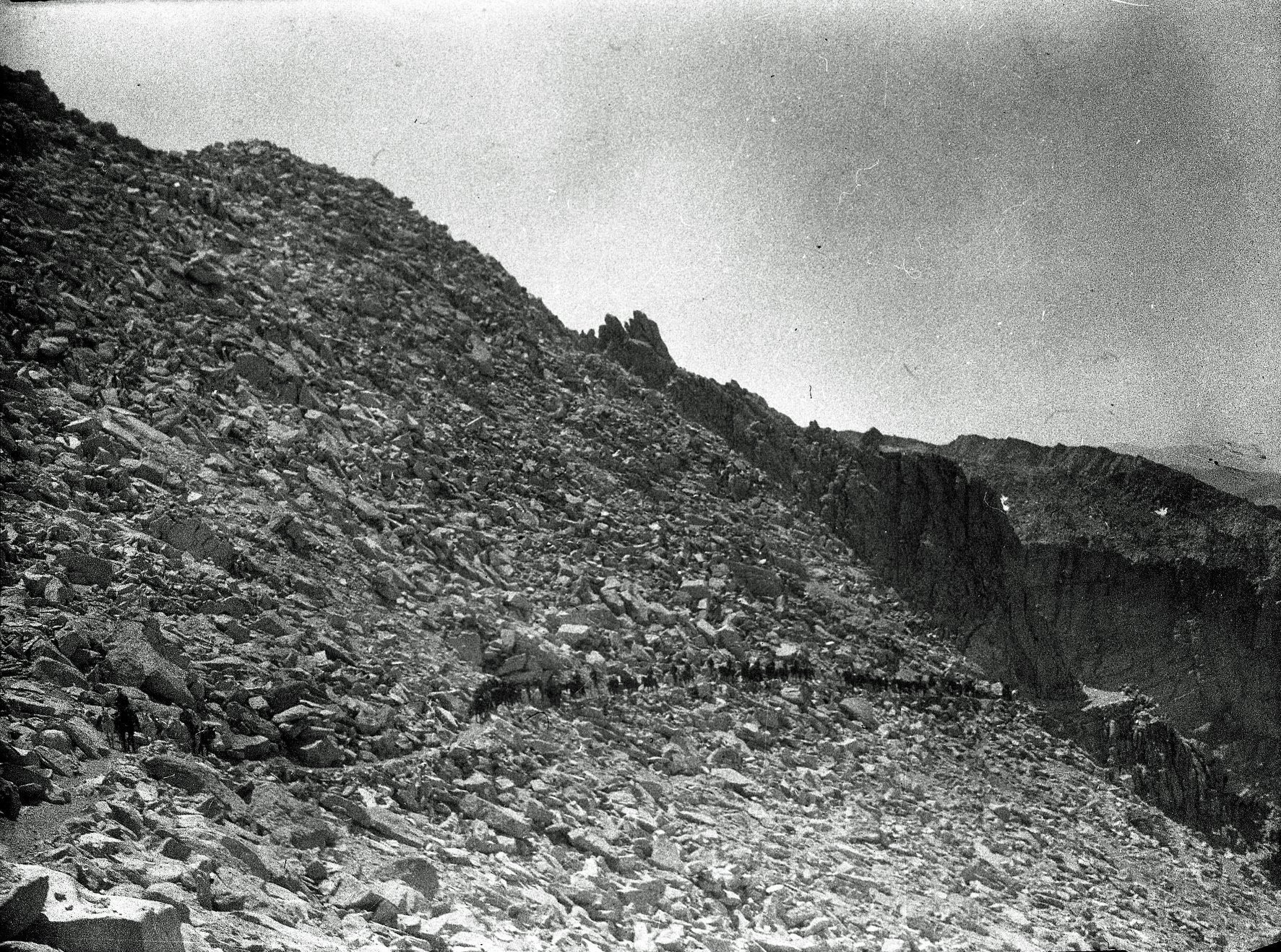 Photo is the long line of NPS folks on horses, winding their way up to Mt Whitney's summit. |
Photos courtesy of The Smithsonian Institution |
|
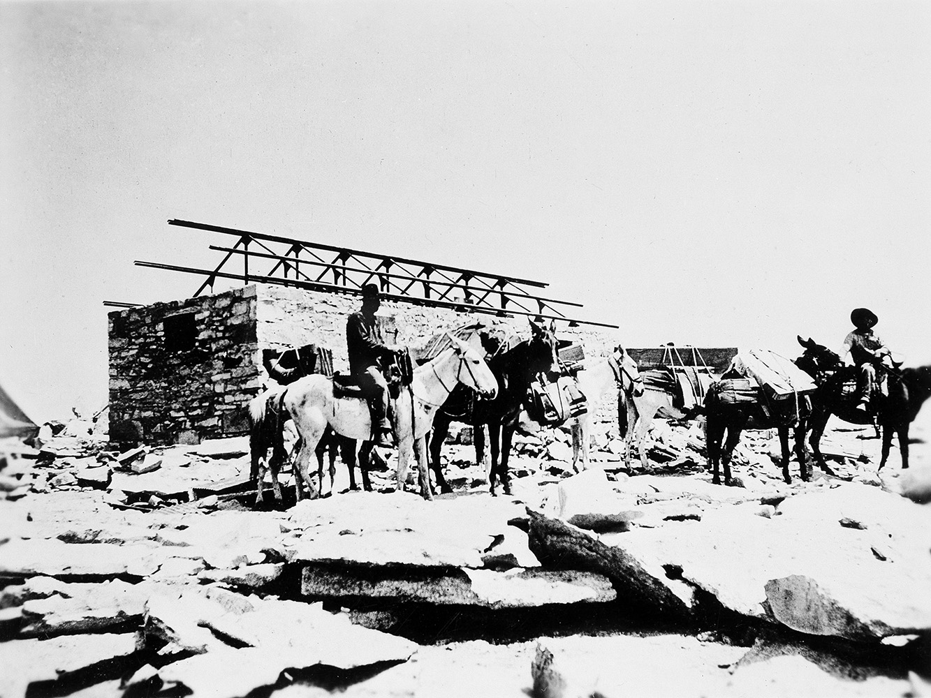 Construction of the astrophysical observatory on the summit of Mt. Whitney |
 The newly constructed astrophysical observatory on the summit of Mt. Whitney |
Photos courtesy of the University of Nevada, Reno Digital Collections Photograph by James Edward Church - the "Father of Snow Science" James developed the Mt. Rose snow sampler to accurately measure the water content of snow. In 1935 Congress created the Federal States Co-Operative Snow Survey based on Church's method; it continues to be used today. |
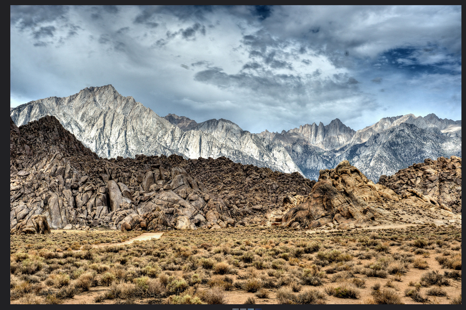
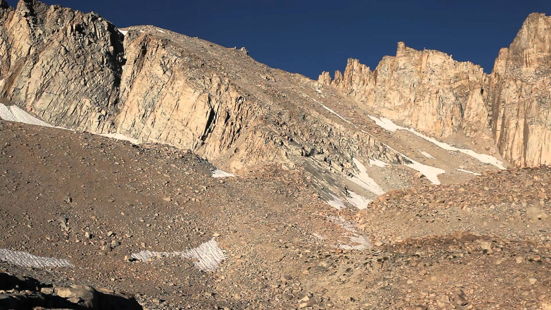
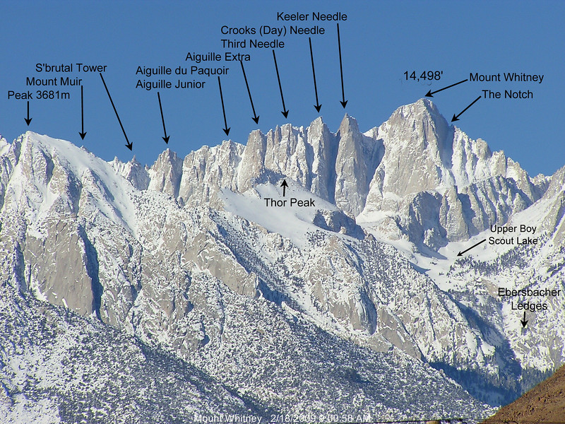
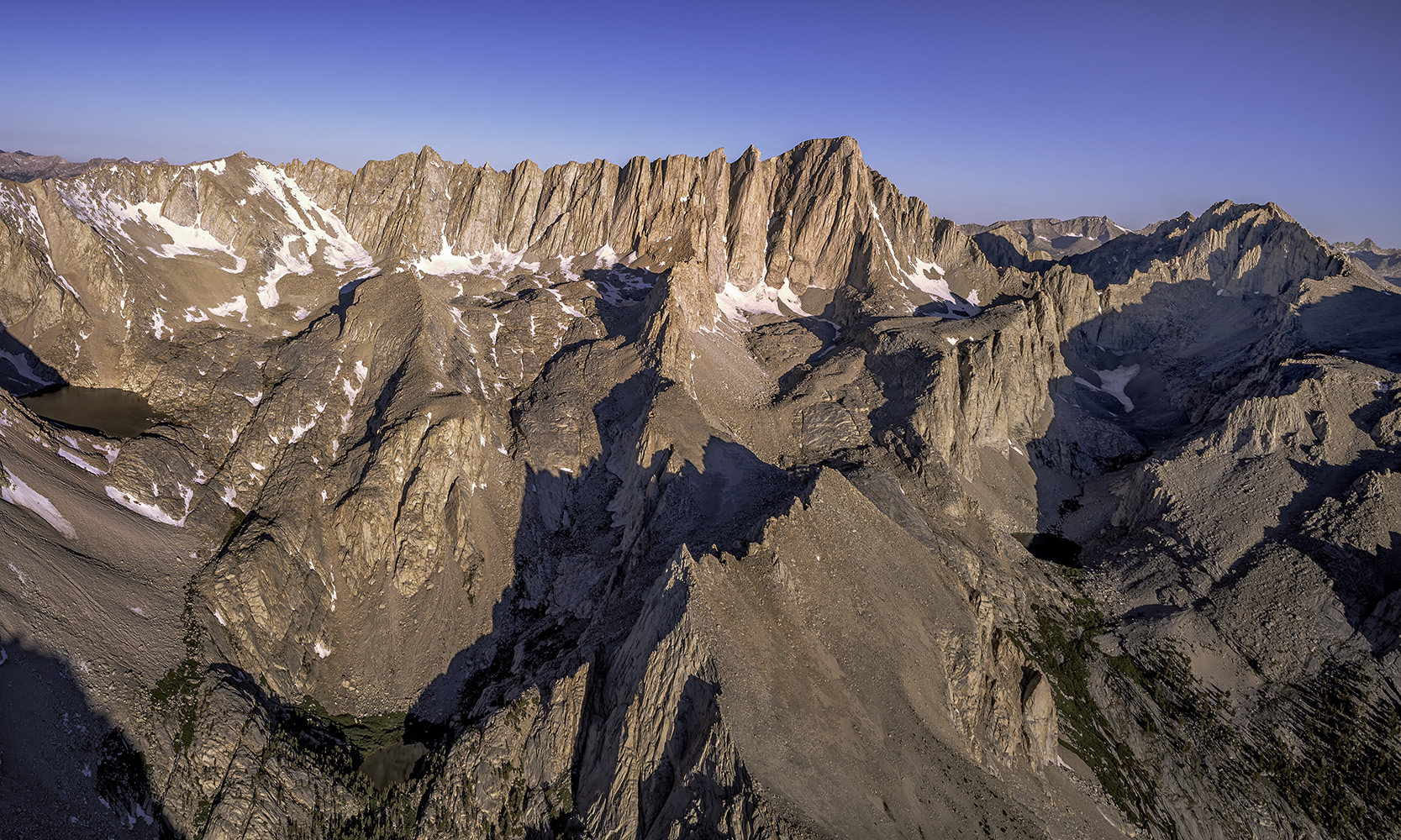
 Mt. Whitney |
 Mt. Whitney |
| Progress Citizen | ||
Lona Burkhart |
||
| Heritage and Humble Pie | ||
1916 Sierra Club High Trip |
||
Cartago |
||
Owens Valley Sheep - Alfred A. Giraud |
Sign Guestbook View Old Guest Book Entries Oct 1999 - Feb 2015 (MS Word) |
 CONTACT the Pigmy Packer |
View Guestbook View Old Guest Book Entries Oct 1999 - Feb 2015 (PDF) |